Elevation of Diamond Peak, New Mexico, USA
Location: United States > New Mexico > Winston >
Longitude: -107.84448
Latitude: 33.2292378
Elevation: 2977m / 9767feet
Barometric Pressure: 70KPa
Elevation Map:
Satellite Map:
Related Photos:
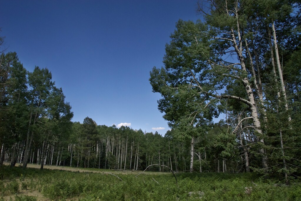
Breadth of Yearning
Banded Light
Sharing Trail

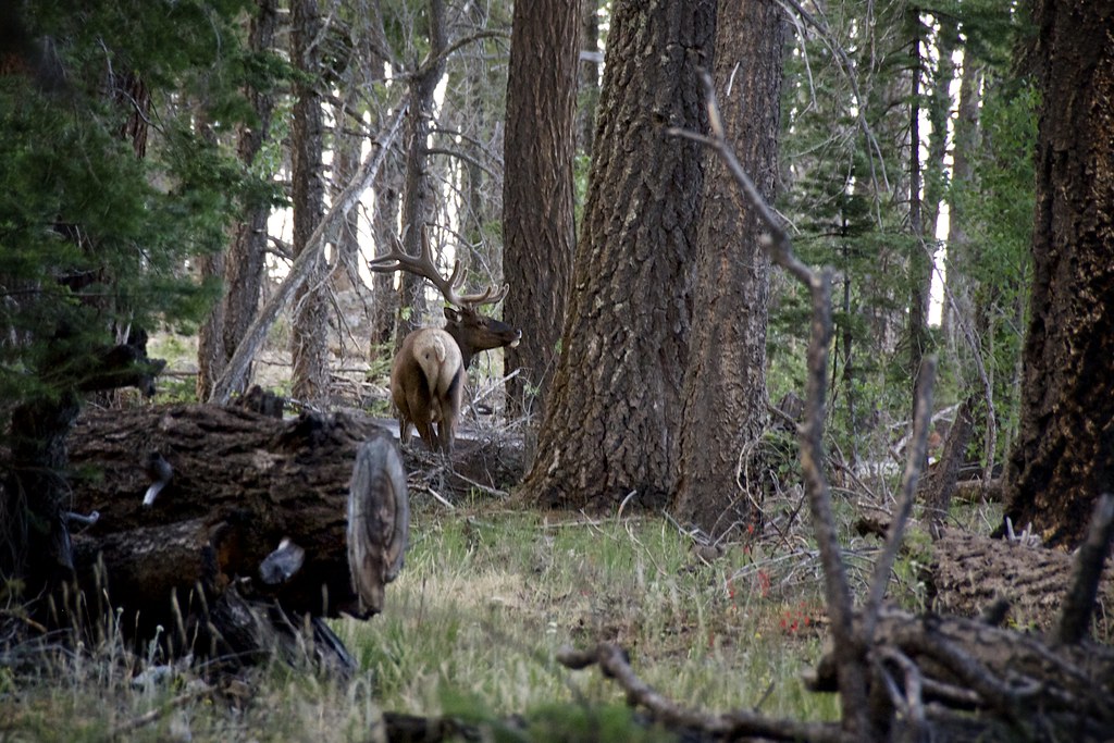
Young Elk Hides
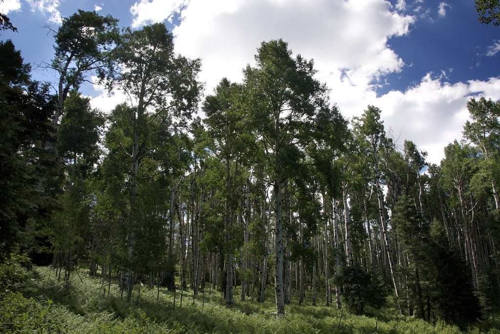
Forest Near Willow Spring
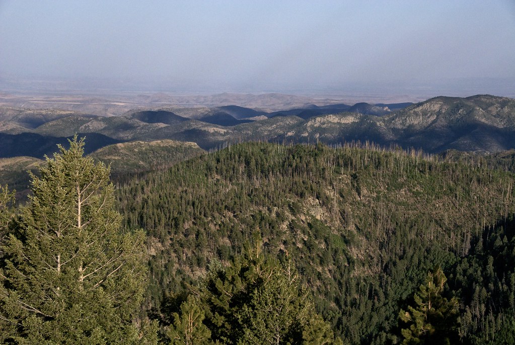
Rugged Territory
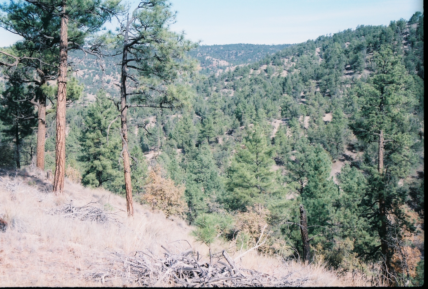
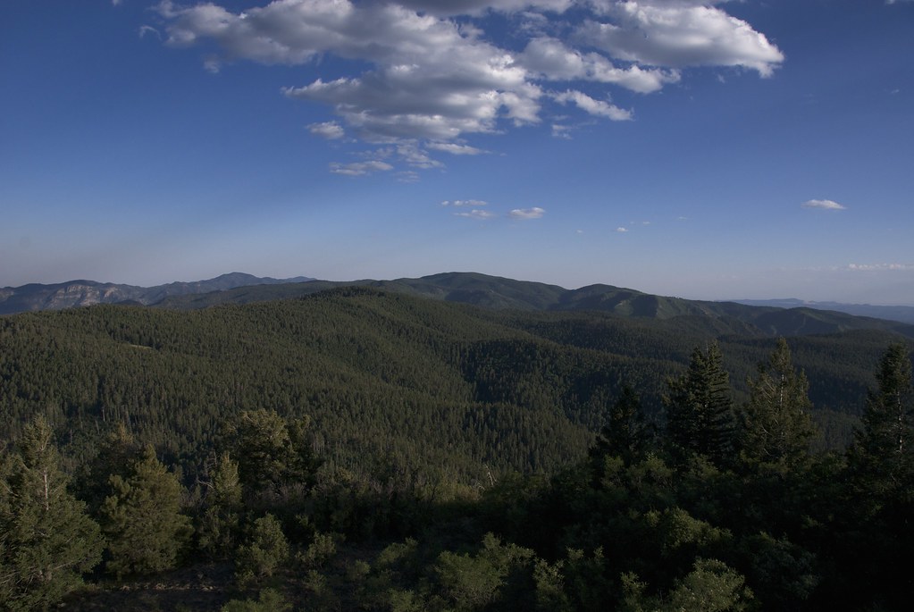
Gila National Forest, New Mexico

Watch Tower

Steel Case
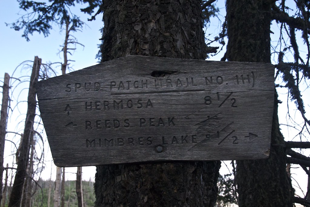
Sign at Spud Patch Ridge
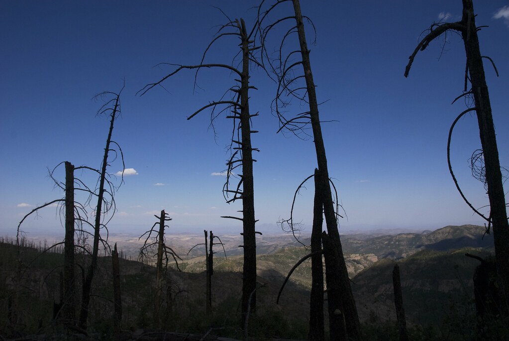
Stark Fellows
Grand Place
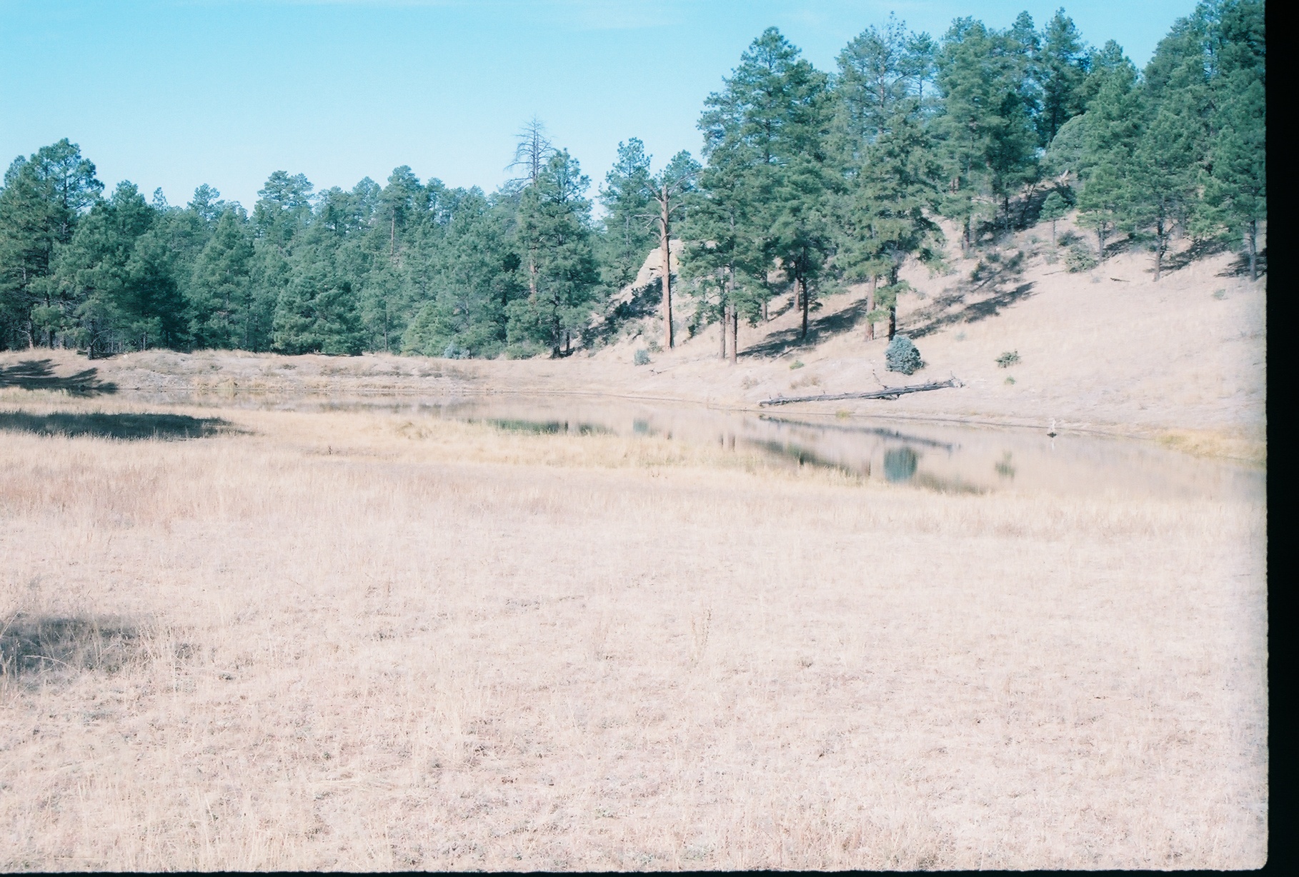
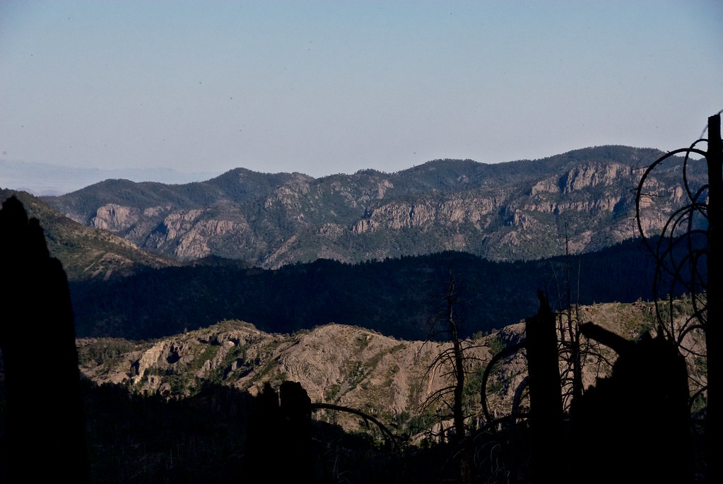
Gila National Forest, New Mexico
Topographic Map of Diamond Peak, New Mexico, USA
Find elevation by address:

Places near Diamond Peak, New Mexico, USA:
Mud Spring Mountain
Moccasin John Mountain
Cherry Mountain
Sugarloaf Peak
Lake Mountain
Hagins Peak
Rocky Point
Flagpole Mountain
Upper Black Canyon Campground
Chloride
Winston
Cross O Peak
Apache Peak
Granite Peak
Twin Peaks North
Milkhouse Mesa
Cross Mountain
Hillsboro Peak
Reilly Peak
Cross-o Mountain
Recent Searches:
- Elevation of Corso Fratelli Cairoli, 35, Macerata MC, Italy
- Elevation of Tallevast Rd, Sarasota, FL, USA
- Elevation of 4th St E, Sonoma, CA, USA
- Elevation of Black Hollow Rd, Pennsdale, PA, USA
- Elevation of Oakland Ave, Williamsport, PA, USA
- Elevation of Pedrógão Grande, Portugal
- Elevation of Klee Dr, Martinsburg, WV, USA
- Elevation of Via Roma, Pieranica CR, Italy
- Elevation of Tavkvetili Mountain, Georgia
- Elevation of Hartfords Bluff Cir, Mt Pleasant, SC, USA