Elevation of Flagpole Mountain, New Mexico, USA
Location: United States > New Mexico > Winston >
Longitude: -107.73753
Latitude: 33.0831269
Elevation: 2194m / 7198feet
Barometric Pressure: 78KPa
Elevation Map:
Satellite Map:
Related Photos:
Walkabout | Intermission

Take Time to Celebrate, And Rest
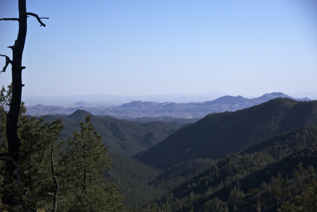
High Again
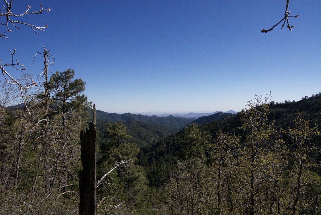
Mountains and Cloud Shadows
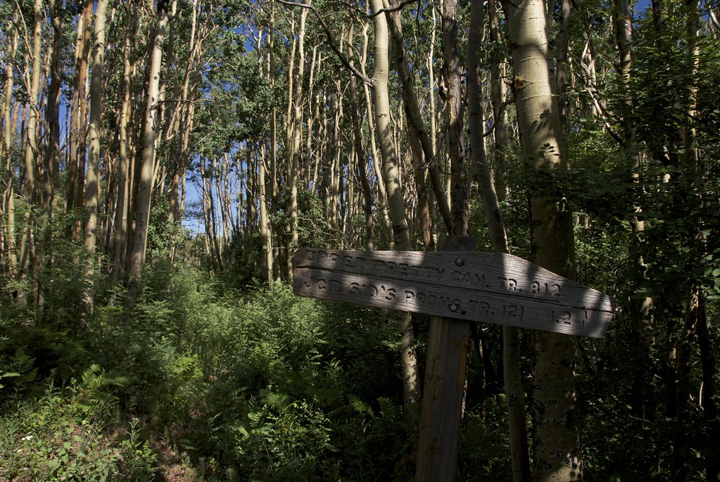
Junction: Pretty Canyon | McKnight

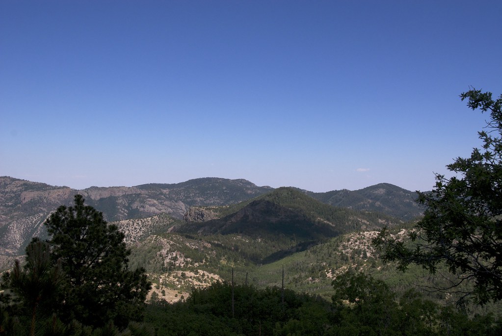
Aldo Leopold Wilderness, Southeast
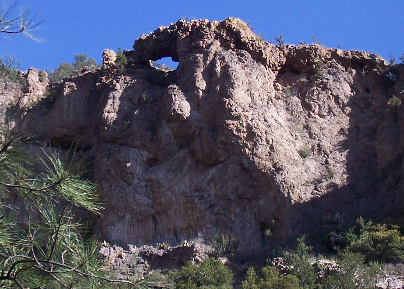
New Mexico Natural Arch NM-352 Mineral Canyon Arch
Topographic Map of Flagpole Mountain, New Mexico, USA
Find elevation by address:

Places near Flagpole Mountain, New Mexico, USA:
Lake Mountain
Apache Peak
Granite Peak
Milkhouse Mesa
Cherry Mountain
Mud Spring Mountain
Hillsboro Peak
Sugarloaf Peak
Moccasin John Mountain
Cross-o Mountain
Kingston
Cross O Peak
Diamond Peak
New Mexico 152
Sawyers Peak
Empire Peak
Salado Mountains Hp
Kelly Peak
Panther Peak
Hagins Peak
Recent Searches:
- Elevation of Corso Fratelli Cairoli, 35, Macerata MC, Italy
- Elevation of Tallevast Rd, Sarasota, FL, USA
- Elevation of 4th St E, Sonoma, CA, USA
- Elevation of Black Hollow Rd, Pennsdale, PA, USA
- Elevation of Oakland Ave, Williamsport, PA, USA
- Elevation of Pedrógão Grande, Portugal
- Elevation of Klee Dr, Martinsburg, WV, USA
- Elevation of Via Roma, Pieranica CR, Italy
- Elevation of Tavkvetili Mountain, Georgia
- Elevation of Hartfords Bluff Cir, Mt Pleasant, SC, USA