Elevation of Cross O Peak, New Mexico, USA
Location: United States > New Mexico > Winston >
Longitude: -107.61253
Latitude: 33.2031268
Elevation: 1984m / 6509feet
Barometric Pressure: 80KPa
Elevation Map:
Satellite Map:
Related Photos:
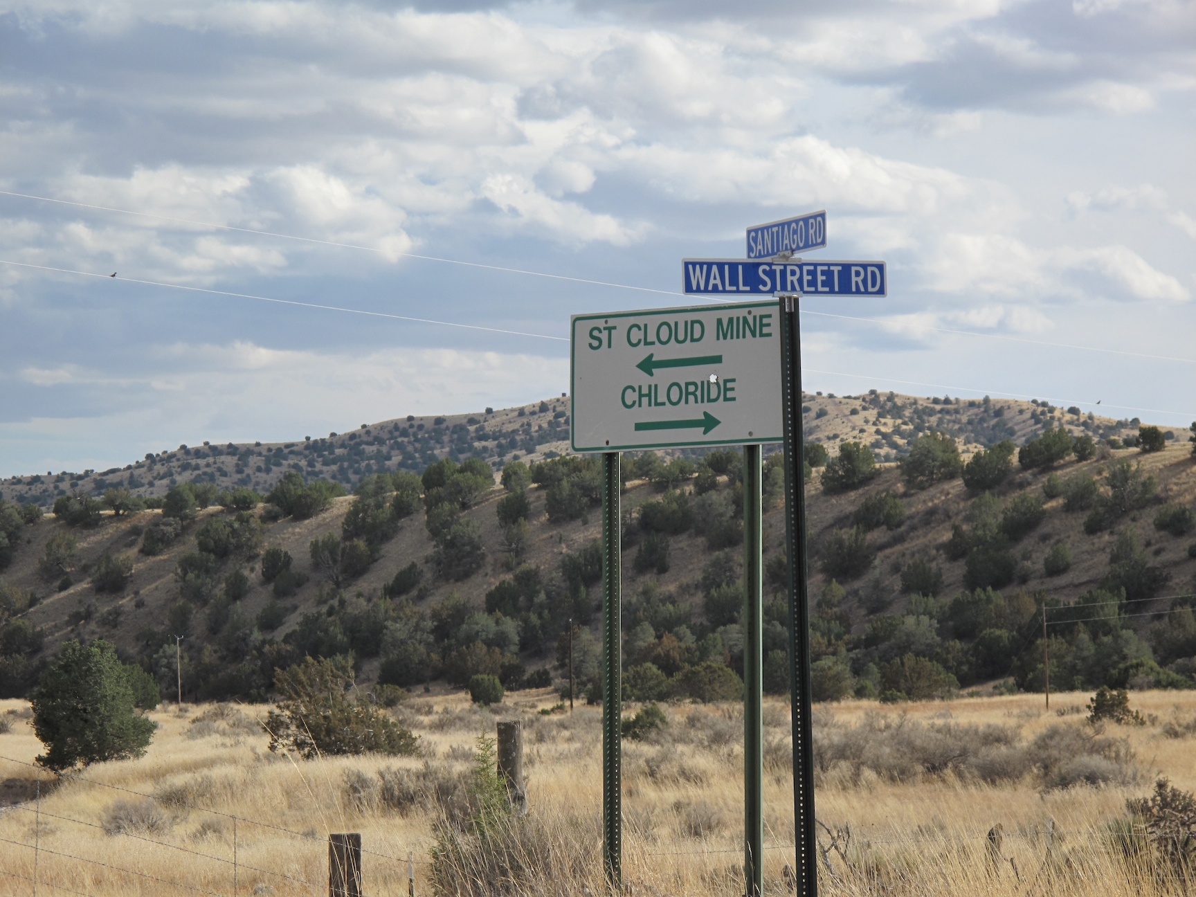
Wall Street - Chloride
Topographic Map of Cross O Peak, New Mexico, USA
Find elevation by address:

Places near Cross O Peak, New Mexico, USA:
Twin Peaks North
Cross Mountain
Double S Peak North
Kelly Peak
Panther Peak
Salado Mountains Hp
Sugarloaf Peak
Winston
Chloride
Hagins Peak
Lake Mountain
Moccasin John Mountain
Flagpole Mountain
Mud Spring Mountain
Cherry Mountain
Apache Peak
Milkhouse Mesa
Reilly Peak
Diamond Peak
Juan Peak
Recent Searches:
- Elevation of Corso Fratelli Cairoli, 35, Macerata MC, Italy
- Elevation of Tallevast Rd, Sarasota, FL, USA
- Elevation of 4th St E, Sonoma, CA, USA
- Elevation of Black Hollow Rd, Pennsdale, PA, USA
- Elevation of Oakland Ave, Williamsport, PA, USA
- Elevation of Pedrógão Grande, Portugal
- Elevation of Klee Dr, Martinsburg, WV, USA
- Elevation of Via Roma, Pieranica CR, Italy
- Elevation of Tavkvetili Mountain, Georgia
- Elevation of Hartfords Bluff Cir, Mt Pleasant, SC, USA