Elevation of Rock Springs Peak, New Mexico, USA
Location: United States > New Mexico > Magdalena >
Longitude: -107.71837
Latitude: 33.7270072
Elevation: 2442m / 8012feet
Barometric Pressure: 75KPa
Elevation Map:
Satellite Map:
Related Photos:
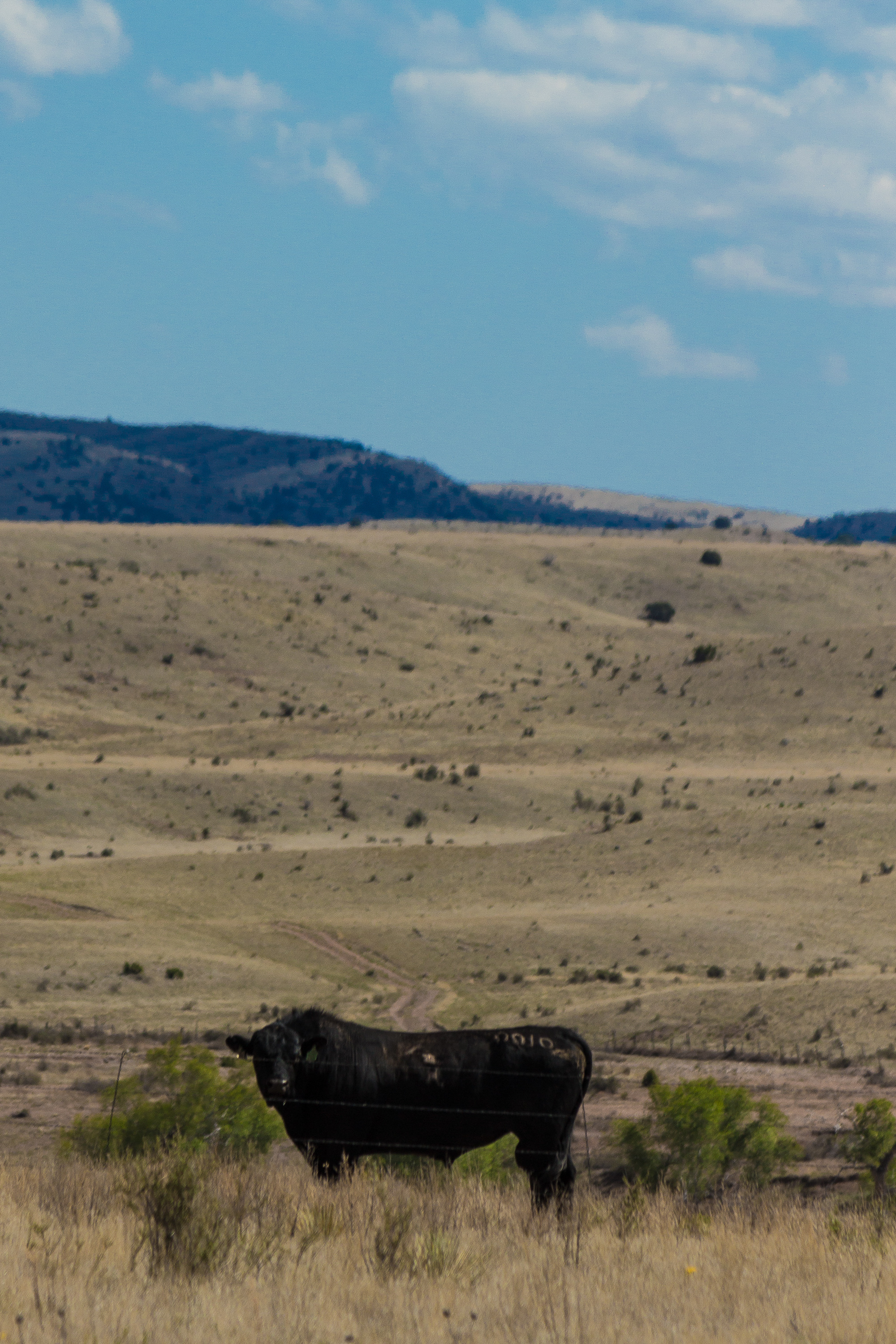
2015 May - Steve's Visit-7961
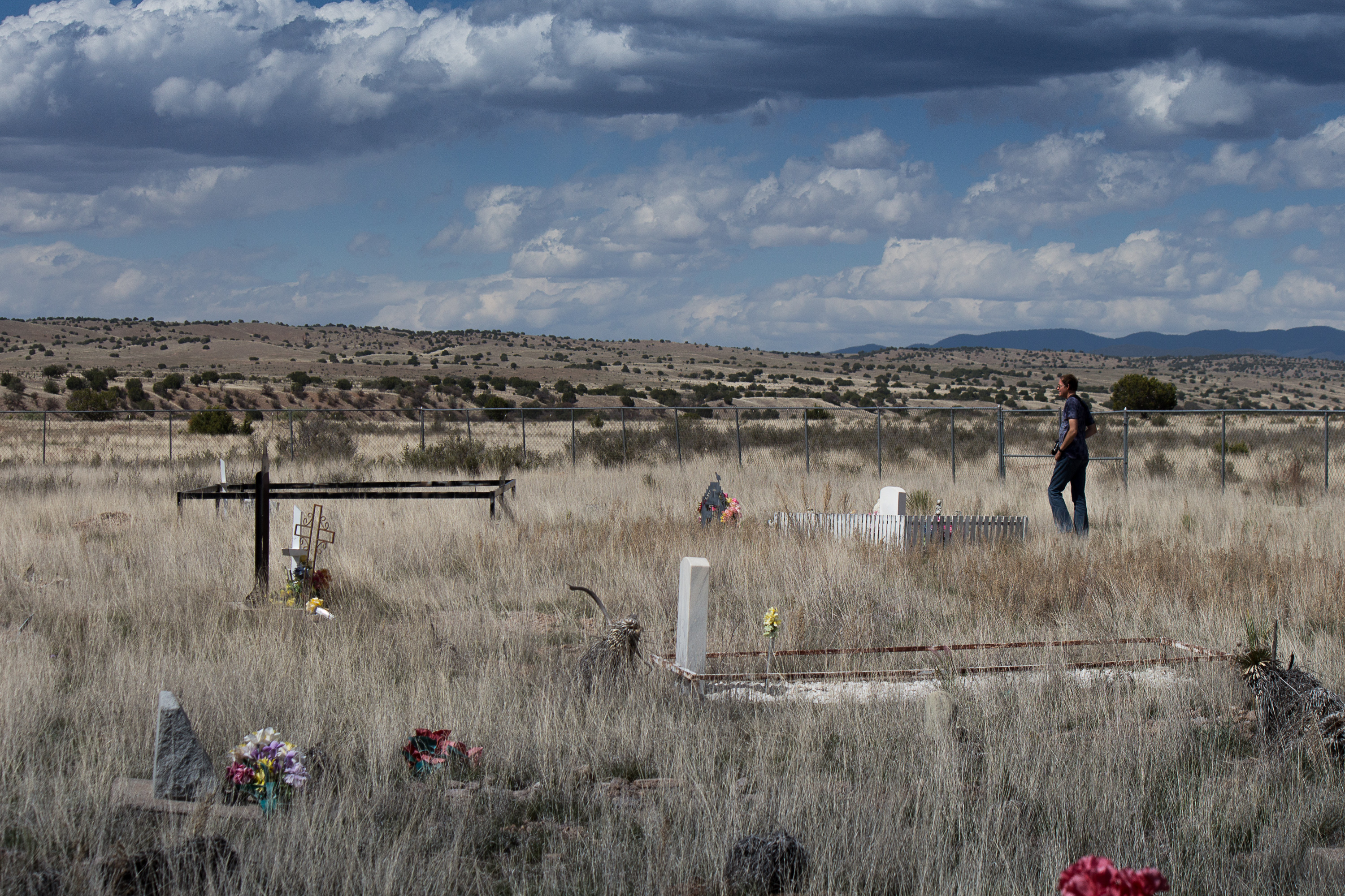
2015 May - Steve's Visit-7963
Topographic Map of Rock Springs Peak, New Mexico, USA
Find elevation by address:

Places near Rock Springs Peak, New Mexico, USA:
Patterson Peak
Welty Hill
Wahoo Peak
Sim Yaten Hills West
Sim Yaten Hills East
Iron Mountain
Loco Hills A Hp
Jaralosa Mountain
Reilly Peak
Juan Peak
Winston
Chloride
Pelona Mountain
Hagins Peak
Monticello
Cll Del Norte
Cross Mountain
Twin Peaks North
Sugarloaf Peak
Moccasin John Mountain
Recent Searches:
- Elevation of Corso Fratelli Cairoli, 35, Macerata MC, Italy
- Elevation of Tallevast Rd, Sarasota, FL, USA
- Elevation of 4th St E, Sonoma, CA, USA
- Elevation of Black Hollow Rd, Pennsdale, PA, USA
- Elevation of Oakland Ave, Williamsport, PA, USA
- Elevation of Pedrógão Grande, Portugal
- Elevation of Klee Dr, Martinsburg, WV, USA
- Elevation of Via Roma, Pieranica CR, Italy
- Elevation of Tavkvetili Mountain, Georgia
- Elevation of Hartfords Bluff Cir, Mt Pleasant, SC, USA