Elevation of Iron Mountain, New Mexico, USA
Location: United States > New Mexico > Winston >
Longitude: -107.63781
Latitude: 33.4664571
Elevation: 2437m / 7995feet
Barometric Pressure: 75KPa
Elevation Map:
Satellite Map:
Related Photos:

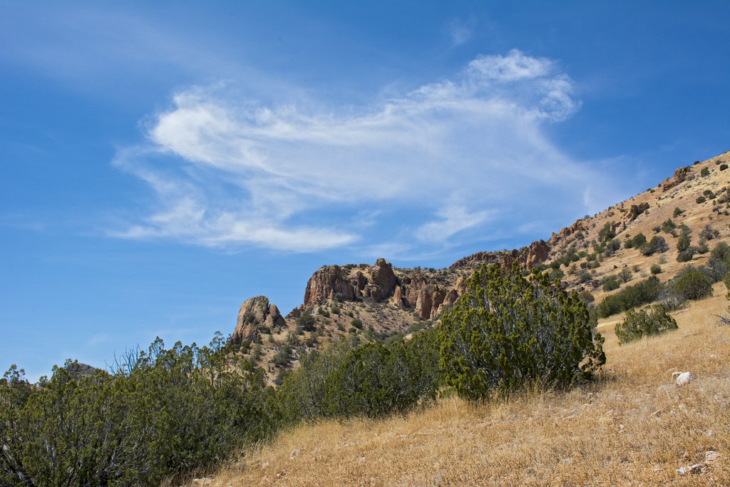
One Tough Hike
View West from 300140 GCDB
Topographic Map of Iron Mountain, New Mexico, USA
Find elevation by address:

Places near Iron Mountain, New Mexico, USA:
Loco Hills A Hp
Reilly Peak
Jaralosa Mountain
Juan Peak
Winston
Chloride
Hagins Peak
Wahoo Peak
Monticello
Cross Mountain
Twin Peaks North
Cll Del Norte
Welty Hill
Sim Yaten Hills West
Sim Yaten Hills East
Cross O Peak
Sugarloaf Peak
Double S Peak North
Patterson Peak
Rock Springs Peak
Recent Searches:
- Elevation of Corso Fratelli Cairoli, 35, Macerata MC, Italy
- Elevation of Tallevast Rd, Sarasota, FL, USA
- Elevation of 4th St E, Sonoma, CA, USA
- Elevation of Black Hollow Rd, Pennsdale, PA, USA
- Elevation of Oakland Ave, Williamsport, PA, USA
- Elevation of Pedrógão Grande, Portugal
- Elevation of Klee Dr, Martinsburg, WV, USA
- Elevation of Via Roma, Pieranica CR, Italy
- Elevation of Tavkvetili Mountain, Georgia
- Elevation of Hartfords Bluff Cir, Mt Pleasant, SC, USA