Elevation of Payne Peak, California, USA
Location: United States > California > Modoc County > Cedarville >
Longitude: -120.27605
Latitude: 41.5415599
Elevation: 2274m / 7461feet
Barometric Pressure: 77KPa
Elevation Map:
Satellite Map:
Related Photos:
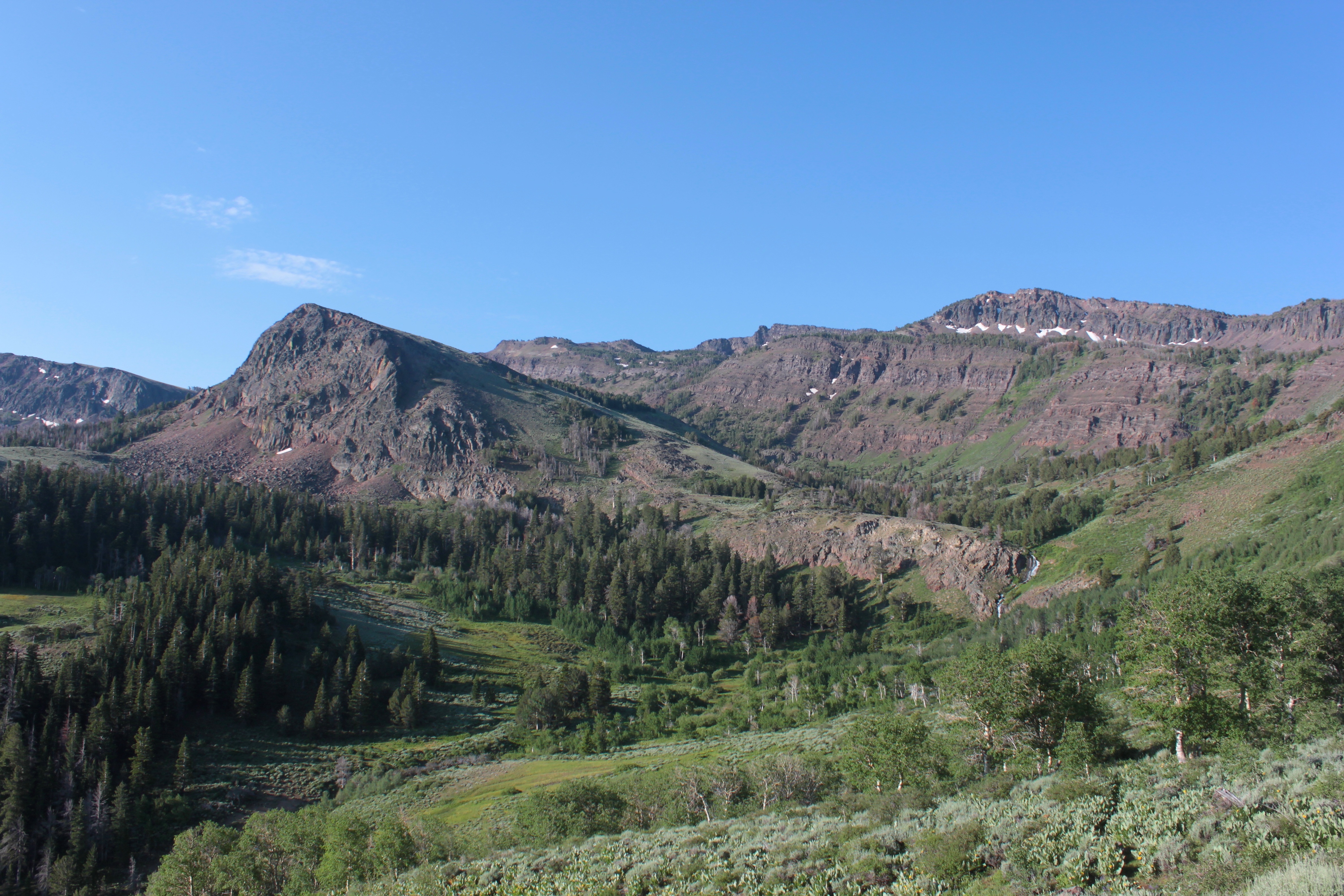
Evolving view as we climbed upward

Ray admires the view

View to Surprise Valley

Last view to Warren Peak and Cottonwood Creek
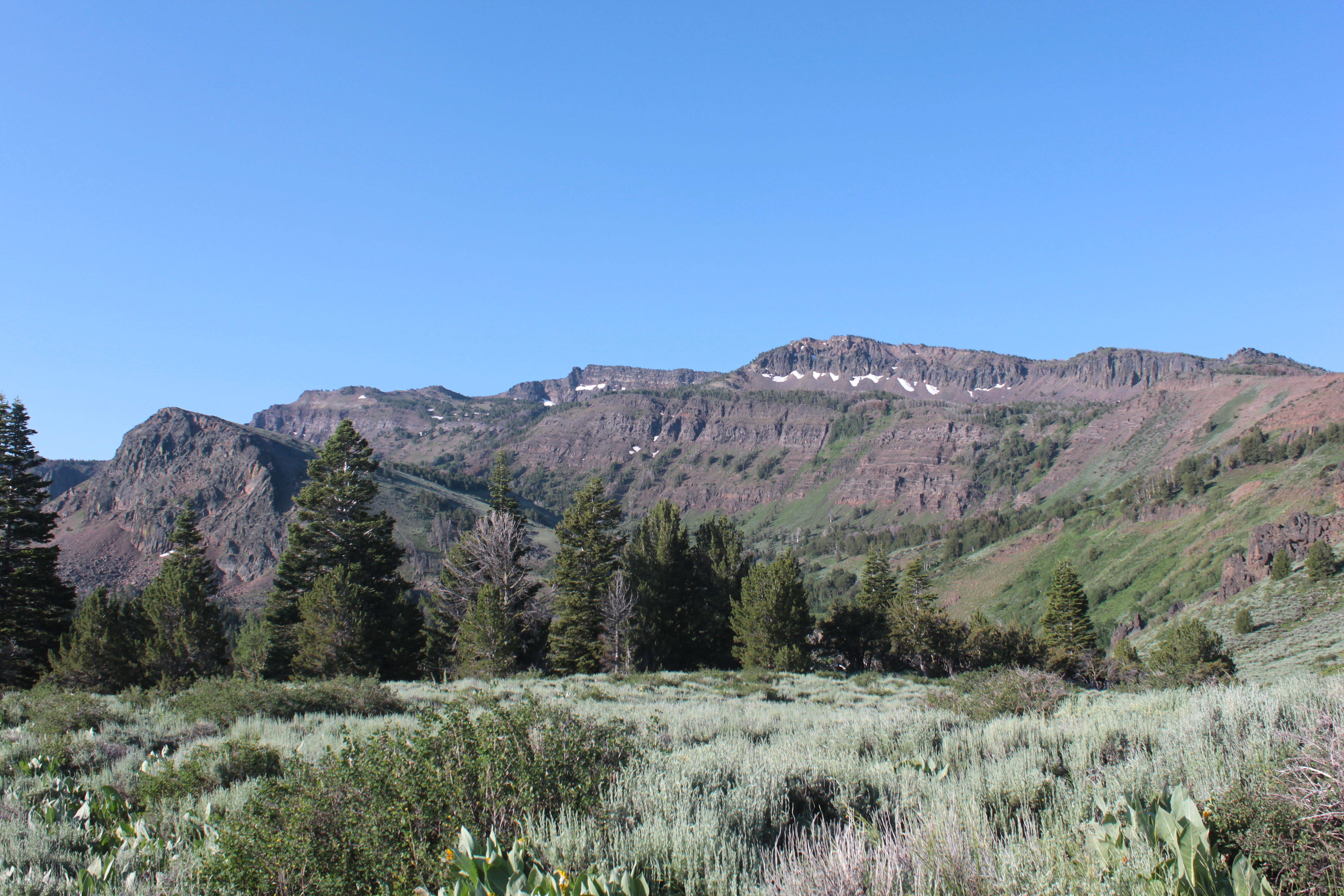
View now to Warren Peak (far) and Peak 8298
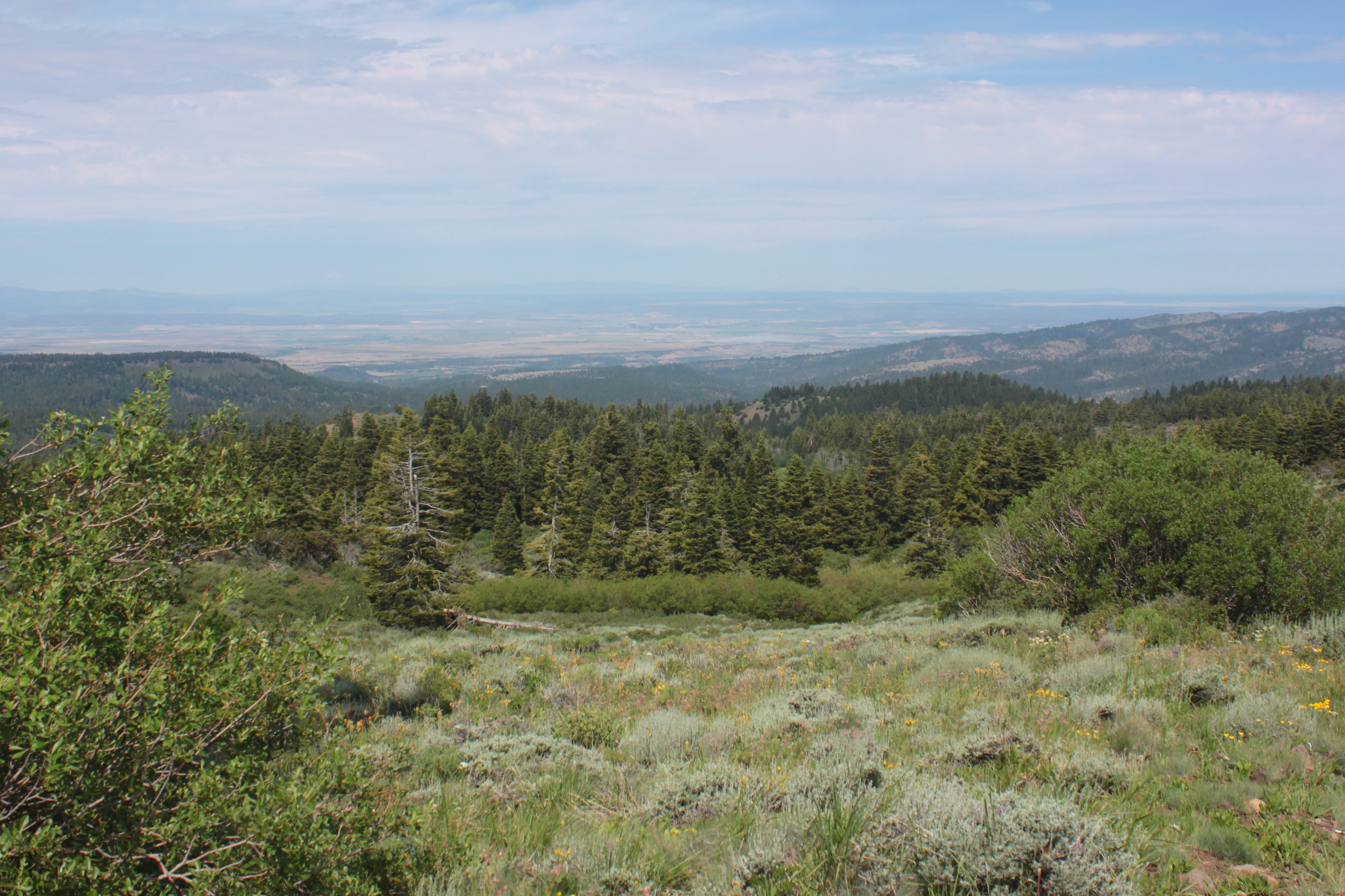
View towards the small town of Alturas
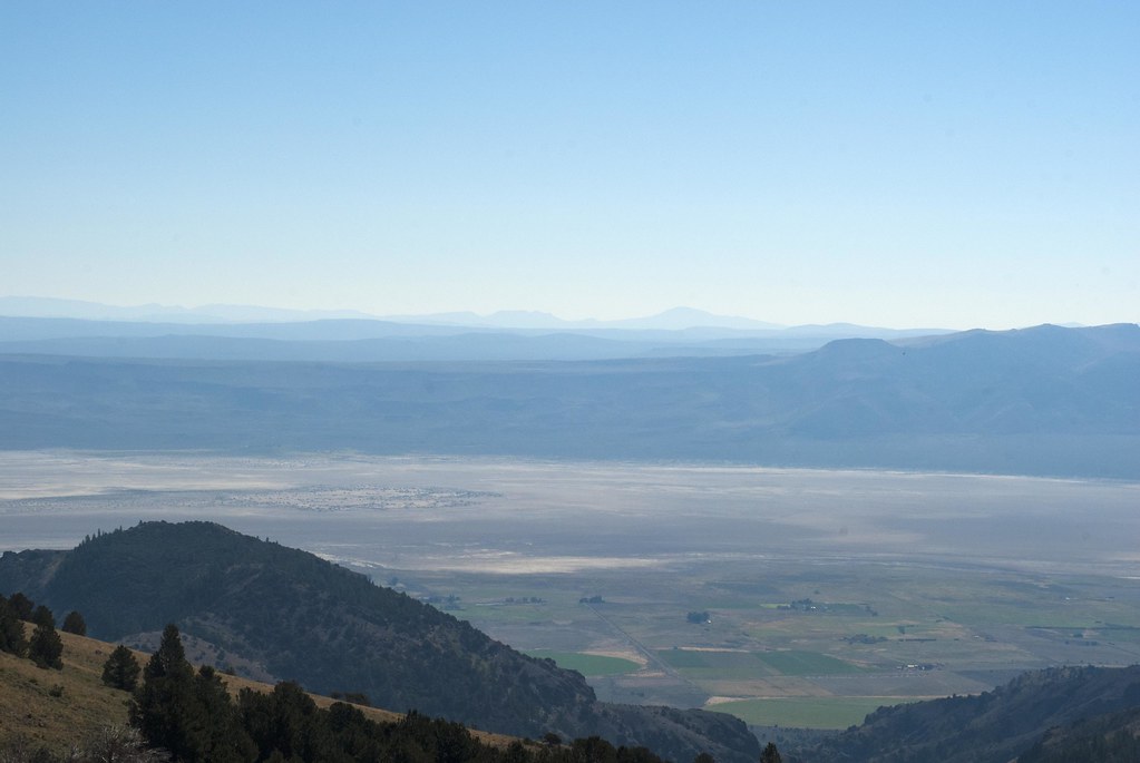
Lower Alkali Lake
Topographic Map of Payne Peak, California, USA
Find elevation by address:

Places near Payne Peak, California, USA:
Cedar Mountain
Bald Mountain
Cedarville
US-, Alturas, CA, USA
Warren Peak
Cedarville, CA, USA
Buck Mountain
Davis Creek
Alturas, CA, USA
434 Buffalo Dr
299 Pintail Dr
421 E Modoc St
Lucilane Blvd, Alturas, CA, USA
Alturas
Eagleville
Cole Peak
Emerson Peak
Mcarthur
Fort Bidwell
Horse Mountain
Recent Searches:
- Elevation of Corso Fratelli Cairoli, 35, Macerata MC, Italy
- Elevation of Tallevast Rd, Sarasota, FL, USA
- Elevation of 4th St E, Sonoma, CA, USA
- Elevation of Black Hollow Rd, Pennsdale, PA, USA
- Elevation of Oakland Ave, Williamsport, PA, USA
- Elevation of Pedrógão Grande, Portugal
- Elevation of Klee Dr, Martinsburg, WV, USA
- Elevation of Via Roma, Pieranica CR, Italy
- Elevation of Tavkvetili Mountain, Georgia
- Elevation of Hartfords Bluff Cir, Mt Pleasant, SC, USA