Elevation of Buck Mountain, California, USA
Location: United States > California > Modoc County > Davis Creek >
Longitude: -120.27856
Latitude: 41.7160032
Elevation: 2404m / 7887feet
Barometric Pressure: 76KPa
Elevation Map:
Satellite Map:
Related Photos:
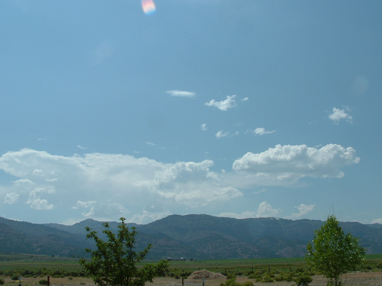
Clouds disappearing
A new view for Pro to enjoy

Goose Lake panorama

South goose lake

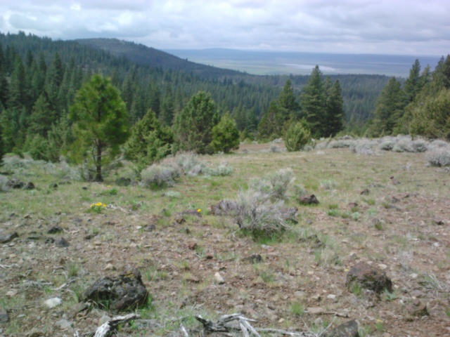
Goose Lake

Goose Lake

_8060217.NEF

_8060214.NEF

_8060219.NEF

Watch the storm go by

_8060228.NEF
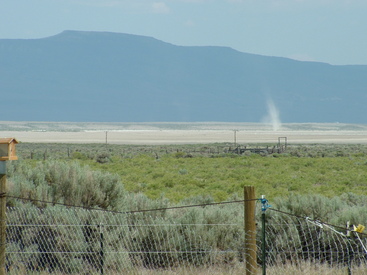
Dust Devil
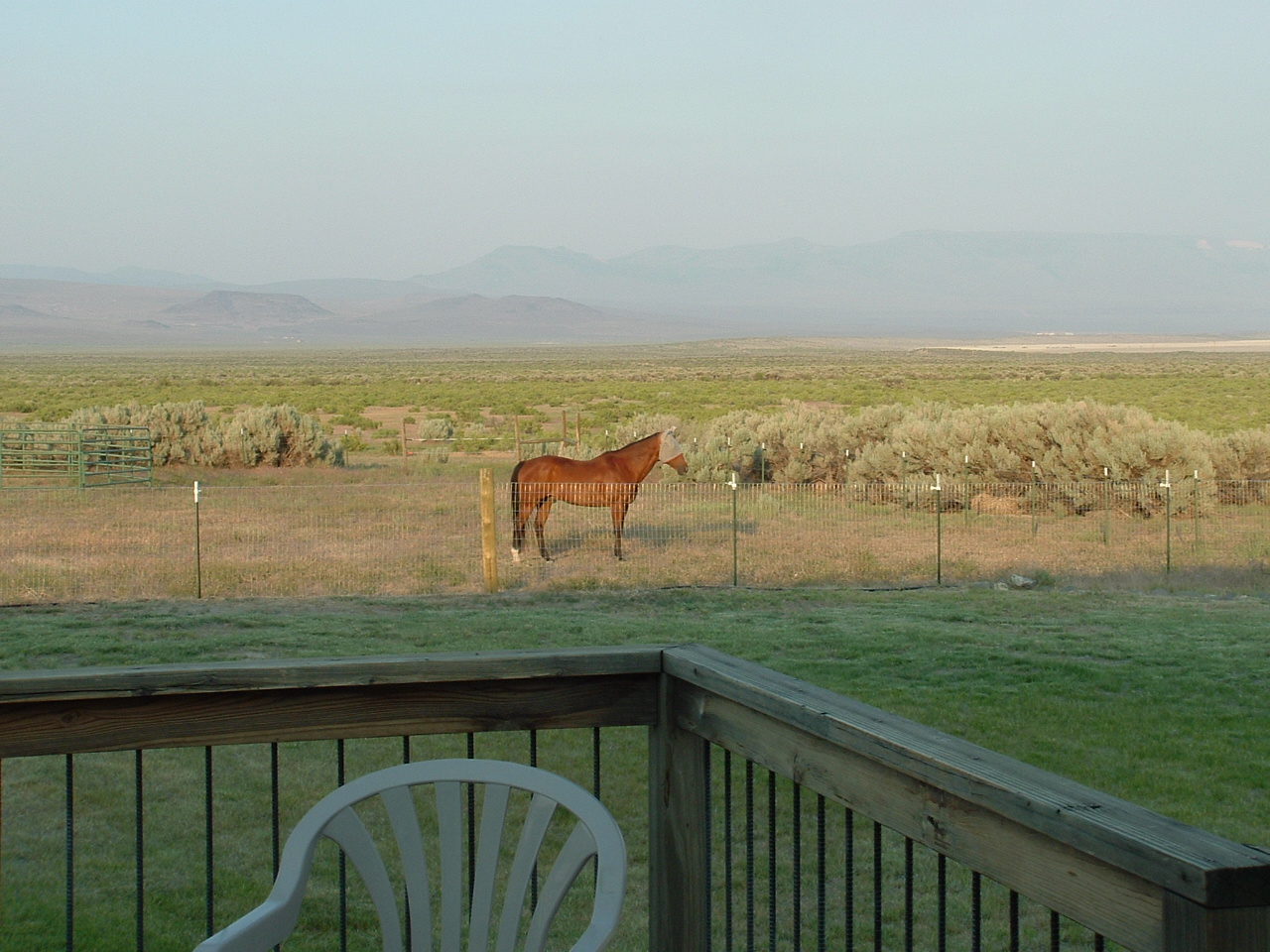
Front yard of sage brush
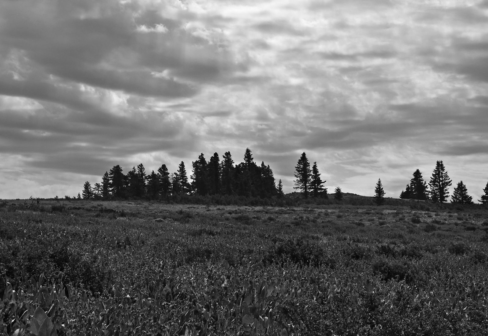
B&W High meadow

_8060210.NEF

Goose Lake
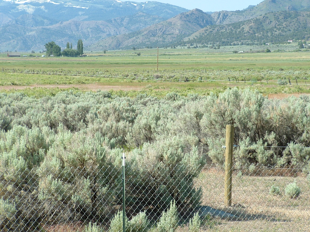
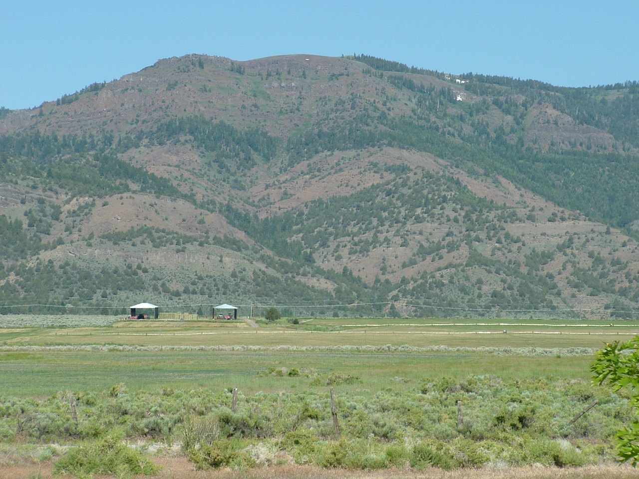
Warner mountains
Nearest neighbors
Topographic Map of Buck Mountain, California, USA
Find elevation by address:

Places near Buck Mountain, California, USA:
Davis Creek
Bald Mountain
Cedar Mountain
Payne Peak
Fort Bidwell
US-, Alturas, CA, USA
Cedarville
Mount Vida
U.s. 395
U.s. 395
Mount Bidwell
Goose Lake
Cedarville, CA, USA
434 Buffalo Dr
299 Pintail Dr
Lucilane Blvd, Alturas, CA, USA
Warren Peak
Alturas, CA, USA
421 E Modoc St
Crane Mountain
Recent Searches:
- Elevation of Corso Fratelli Cairoli, 35, Macerata MC, Italy
- Elevation of Tallevast Rd, Sarasota, FL, USA
- Elevation of 4th St E, Sonoma, CA, USA
- Elevation of Black Hollow Rd, Pennsdale, PA, USA
- Elevation of Oakland Ave, Williamsport, PA, USA
- Elevation of Pedrógão Grande, Portugal
- Elevation of Klee Dr, Martinsburg, WV, USA
- Elevation of Via Roma, Pieranica CR, Italy
- Elevation of Tavkvetili Mountain, Georgia
- Elevation of Hartfords Bluff Cir, Mt Pleasant, SC, USA