Elevation of Fort Bidwell, CA, USA
Location: United States > California >
Longitude: -120.15207
Latitude: 41.8605328
Elevation: 1392m / 4567feet
Barometric Pressure: 86KPa
Elevation Map:
Satellite Map:
Related Photos:

_8060217.NEF

_8060214.NEF

_8060228.NEF
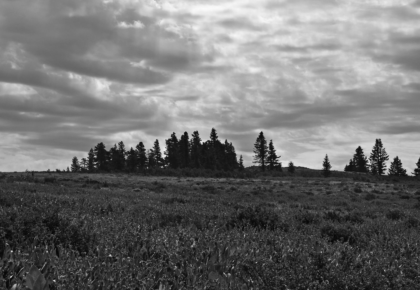
B&W High meadow
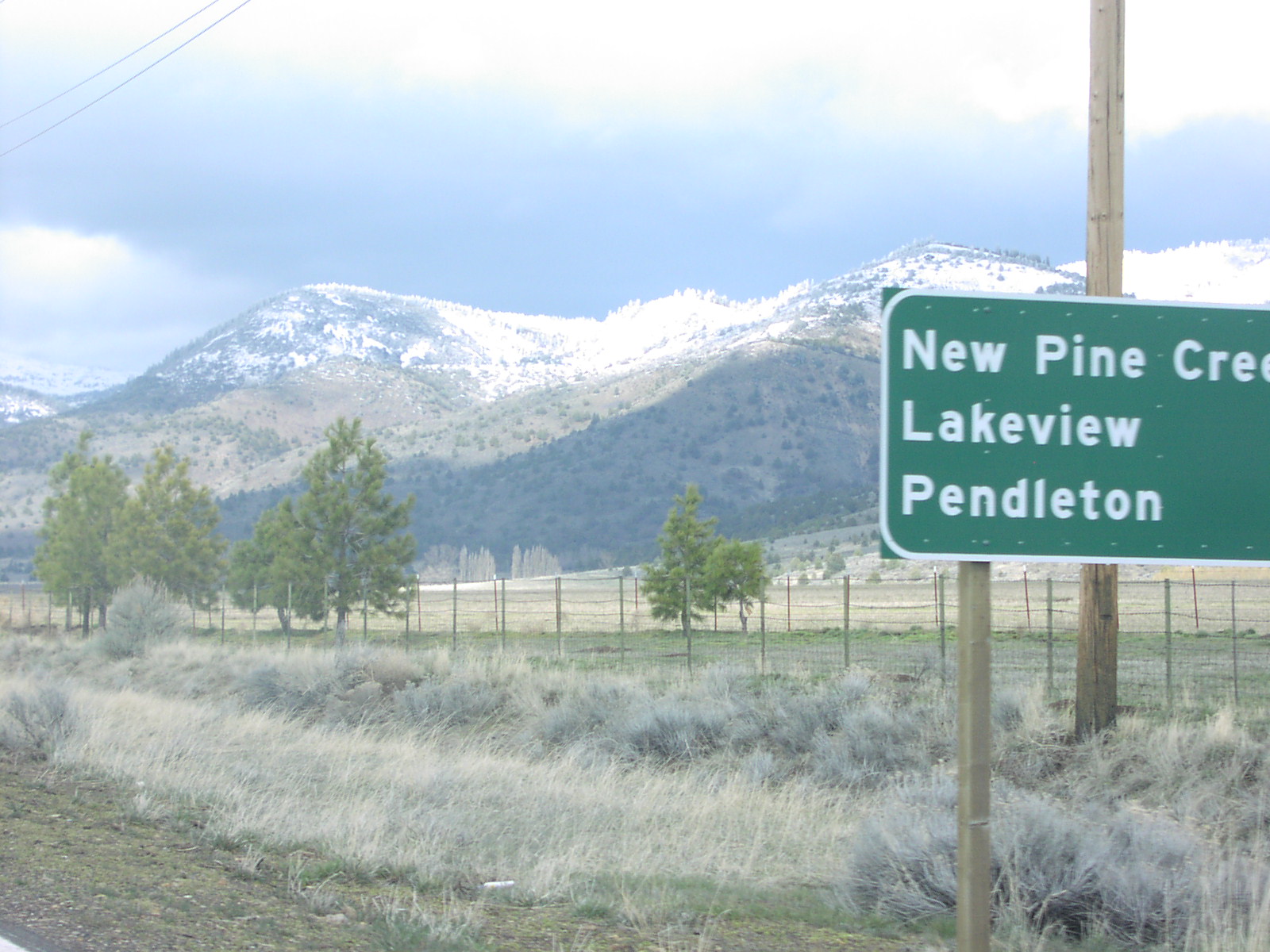
US-395 North - Distance Marker

_8060224.NEF
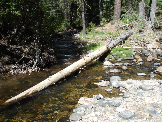
Mill Creek

_8060221.NEF

Mill Creek

_8060225.NEF
Topographic Map of Fort Bidwell, CA, USA
Find elevation by address:

Places in Fort Bidwell, CA, USA:
Places near Fort Bidwell, CA, USA:
Mount Vida
Mount Bidwell
U.s. 395
U.s. 395
Buck Mountain
Crane Mountain
Davis Creek
13851 Us-395
Bald Mountain
Goose Lake
Cedar Mountain
Cedarville
Payne Peak
Cedarville, CA, USA
US-, Alturas, CA, USA
Vya
434 Buffalo Dr
Warren Peak
299 Pintail Dr
Lucilane Blvd, Alturas, CA, USA
Recent Searches:
- Elevation of Corso Fratelli Cairoli, 35, Macerata MC, Italy
- Elevation of Tallevast Rd, Sarasota, FL, USA
- Elevation of 4th St E, Sonoma, CA, USA
- Elevation of Black Hollow Rd, Pennsdale, PA, USA
- Elevation of Oakland Ave, Williamsport, PA, USA
- Elevation of Pedrógão Grande, Portugal
- Elevation of Klee Dr, Martinsburg, WV, USA
- Elevation of Via Roma, Pieranica CR, Italy
- Elevation of Tavkvetili Mountain, Georgia
- Elevation of Hartfords Bluff Cir, Mt Pleasant, SC, USA