Elevation of Cole Peak, California, USA
Location: United States > California > Eagleville >
Longitude: -120.16799
Latitude: 41.2768402
Elevation: 2677m / 8783feet
Barometric Pressure: 73KPa
Elevation Map:
Satellite Map:
Related Photos:
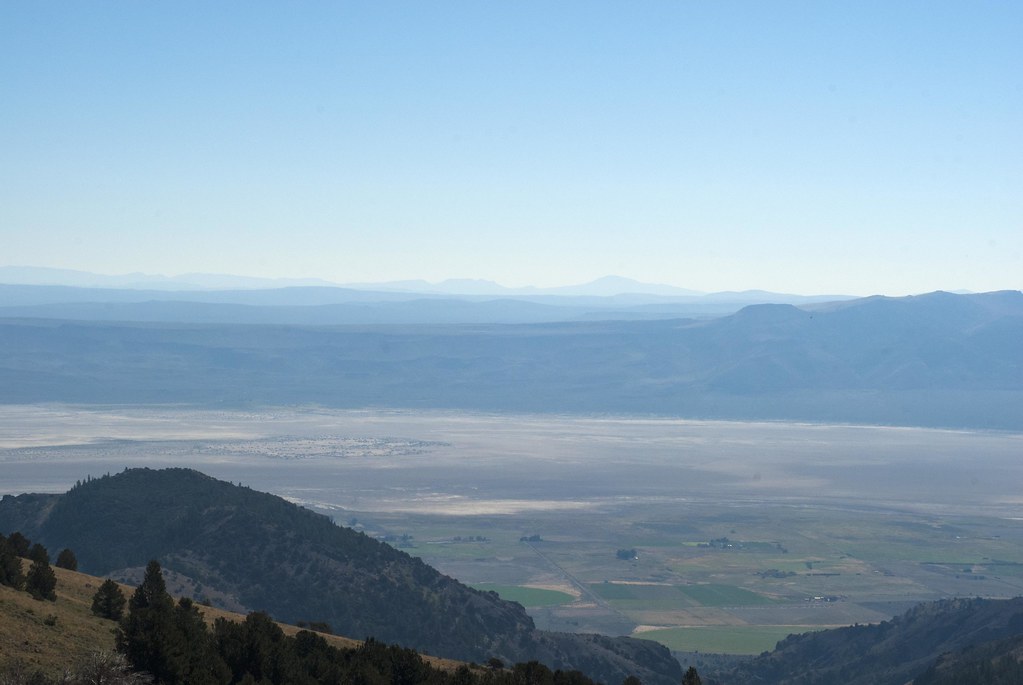
Lower Alkali Lake
Topographic Map of Cole Peak, California, USA
Find elevation by address:

Places near Cole Peak, California, USA:
Emerson Peak
Eagleville
Horse Mountain
Warren Peak
Hat Mountain
Blue Lake Campground
Little Hat Mountain
Cedarville, CA, USA
Cedarville
Payne Peak
Likely Place
Tule Mountain
Likely Place Golf & Rv Resort
Cottonwood Mountains Hp
Jess Valley Rd, Likely, CA, USA
Cedar Mountain
Alturas, CA, USA
Likely
Bald Mountain
1600 A
Recent Searches:
- Elevation of Corso Fratelli Cairoli, 35, Macerata MC, Italy
- Elevation of Tallevast Rd, Sarasota, FL, USA
- Elevation of 4th St E, Sonoma, CA, USA
- Elevation of Black Hollow Rd, Pennsdale, PA, USA
- Elevation of Oakland Ave, Williamsport, PA, USA
- Elevation of Pedrógão Grande, Portugal
- Elevation of Klee Dr, Martinsburg, WV, USA
- Elevation of Via Roma, Pieranica CR, Italy
- Elevation of Tavkvetili Mountain, Georgia
- Elevation of Hartfords Bluff Cir, Mt Pleasant, SC, USA