Elevation of Cottonwood Mountains HP, California, USA
Location: United States > California > Termo >
Longitude: -120.06722
Latitude: 40.9727777
Elevation: 2206m / 7238feet
Barometric Pressure: 77KPa
Elevation Map:
Satellite Map:
Related Photos:
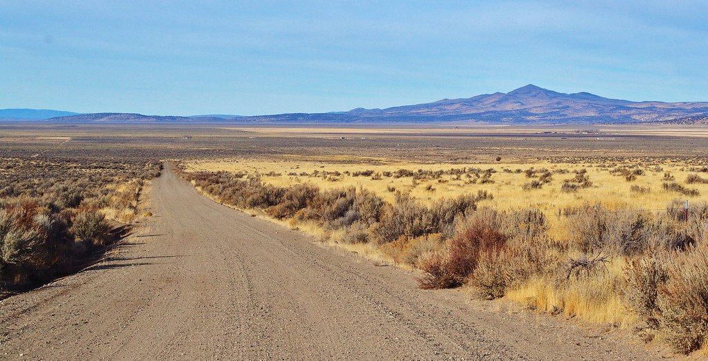
madeline plains

pilgrim lake 6230' nv
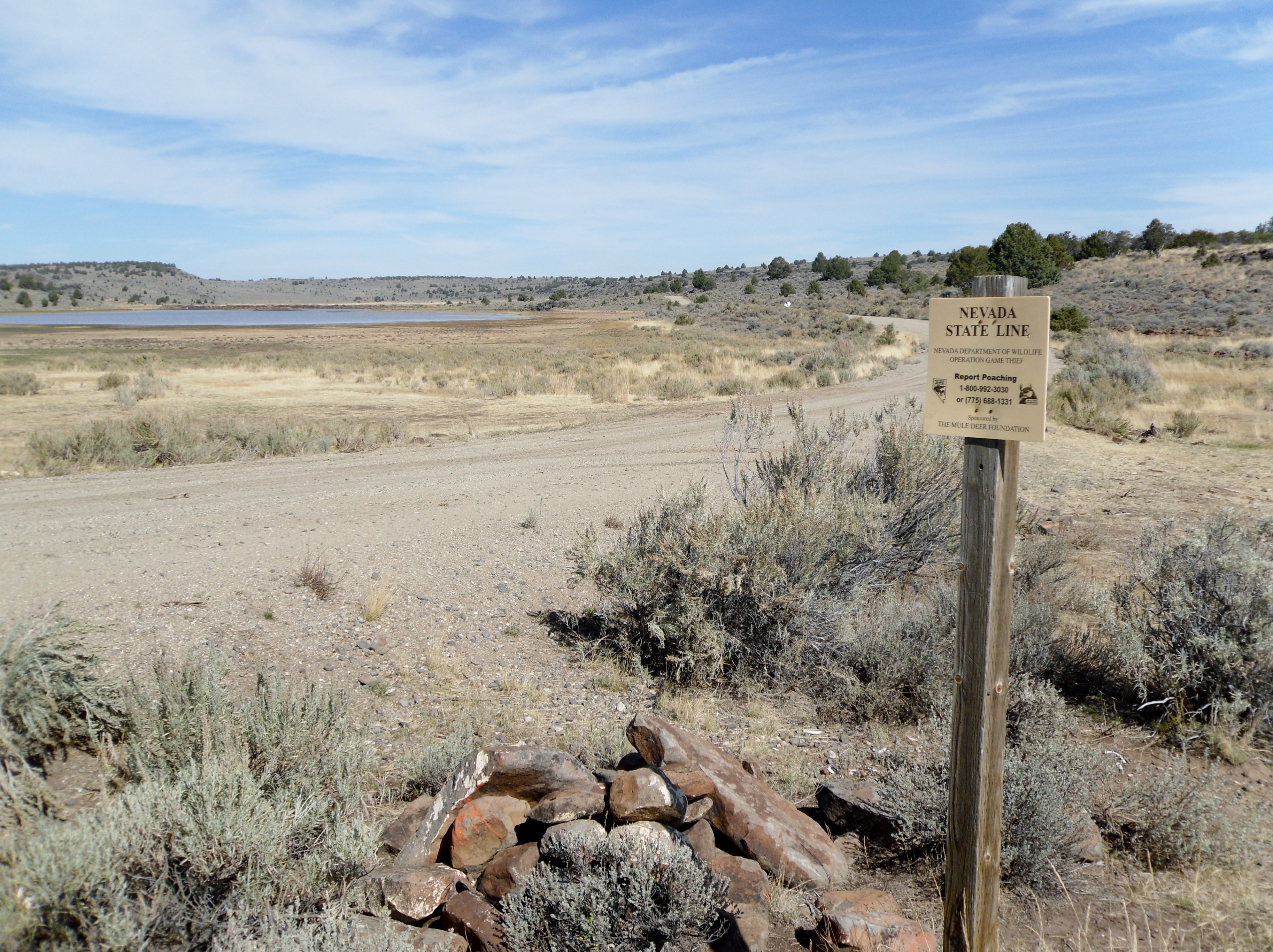
Nevada State Line on Buckhorn Rd. at Pilgrim Lake northwest of Gerlach, Nevada

Satyrium californica cygnus

Satyrium behrii
Topographic Map of Cottonwood Mountains HP, California, USA
Find elevation by address:

Places near Cottonwood Mountains HP, California, USA:
Little Hat Mountain
Hat Mountain
Horse Mountain
Blue Lake Campground
Emerson Peak
Cole Peak
Ravendale
Eagleville
Juniper Ridge Road
Termo
Madeline
Tule Mountain
Warren Peak
Likely Place Golf & Rv Resort
Likely Place
Williams Road
Jess Valley Rd, Likely, CA, USA
Likely
1422 A
Cedarville, CA, USA
Recent Searches:
- Elevation of Corso Fratelli Cairoli, 35, Macerata MC, Italy
- Elevation of Tallevast Rd, Sarasota, FL, USA
- Elevation of 4th St E, Sonoma, CA, USA
- Elevation of Black Hollow Rd, Pennsdale, PA, USA
- Elevation of Oakland Ave, Williamsport, PA, USA
- Elevation of Pedrógão Grande, Portugal
- Elevation of Klee Dr, Martinsburg, WV, USA
- Elevation of Via Roma, Pieranica CR, Italy
- Elevation of Tavkvetili Mountain, Georgia
- Elevation of Hartfords Bluff Cir, Mt Pleasant, SC, USA