Elevation of Olive, IA, USA
Location: United States > Iowa > Clinton County >
Longitude: -90.7342734
Latitude: 41.8179887
Elevation: 215m / 705feet
Barometric Pressure: 0KPa
Related Photos:
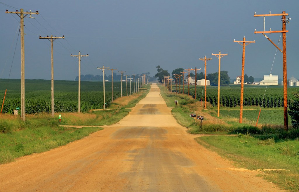
The old way west

20140310 54 Lincoln Highway, near Calamus, Iowa

UP Train ICSKER-10
Missing Feet
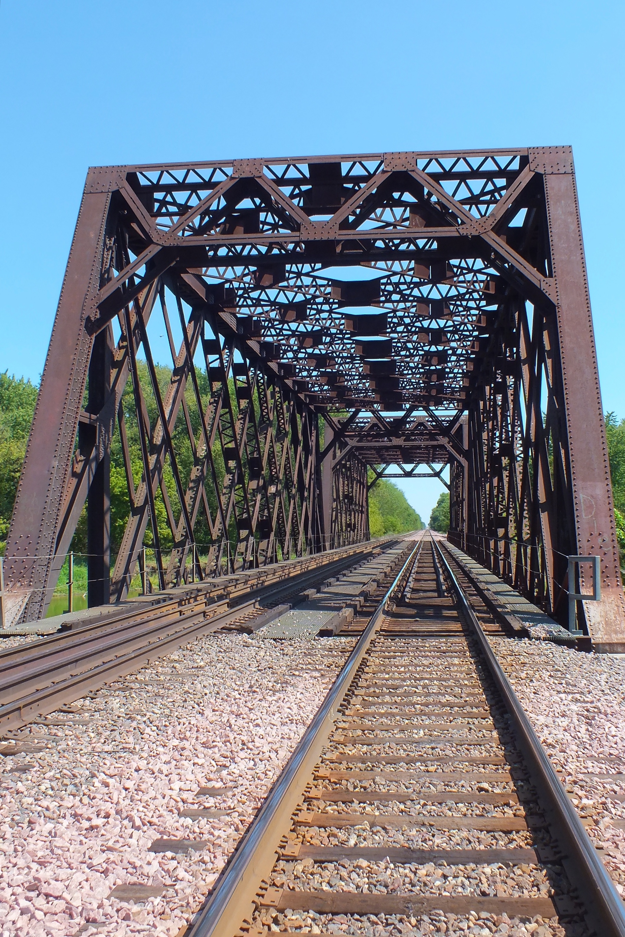
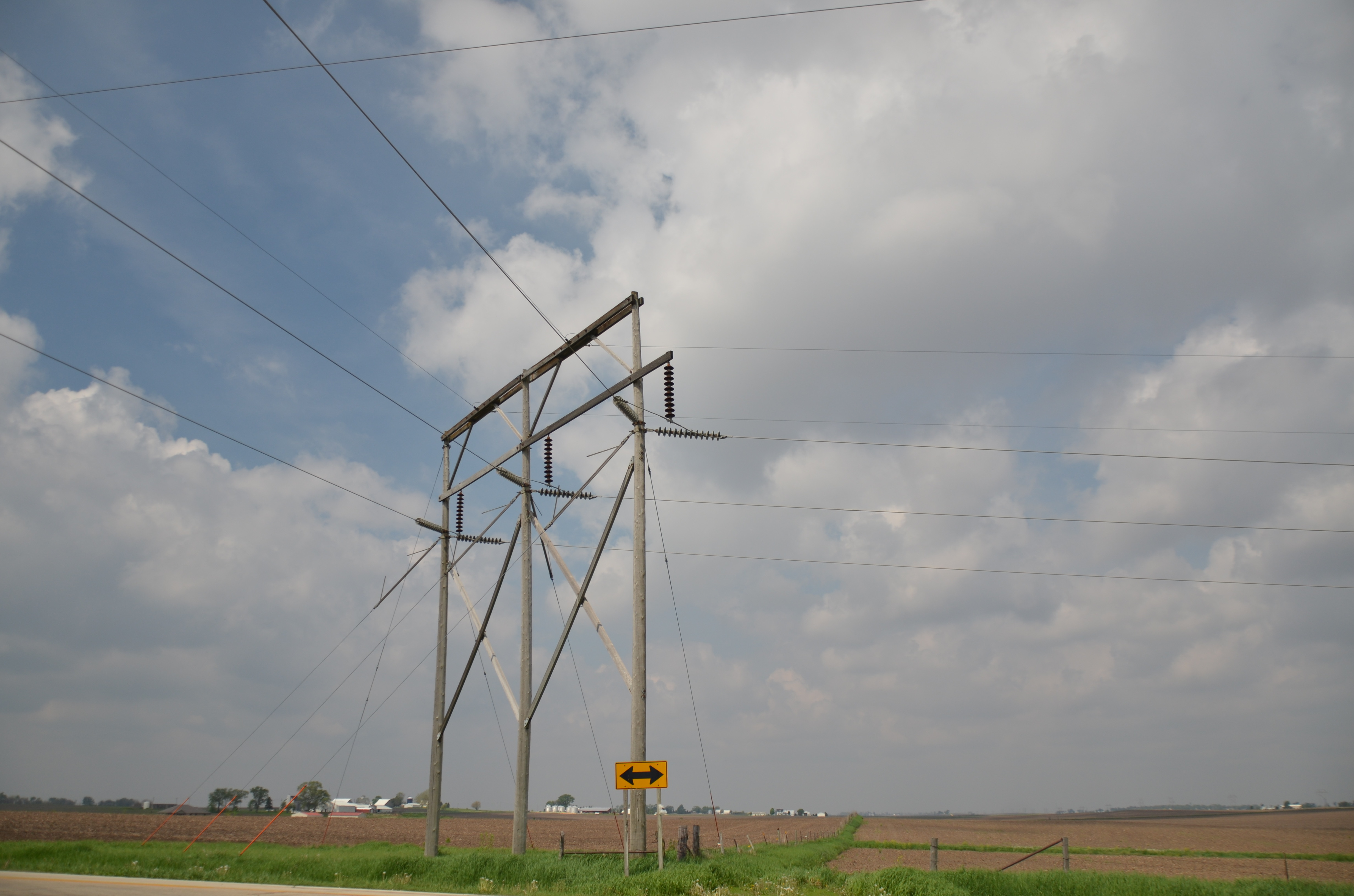
RR East
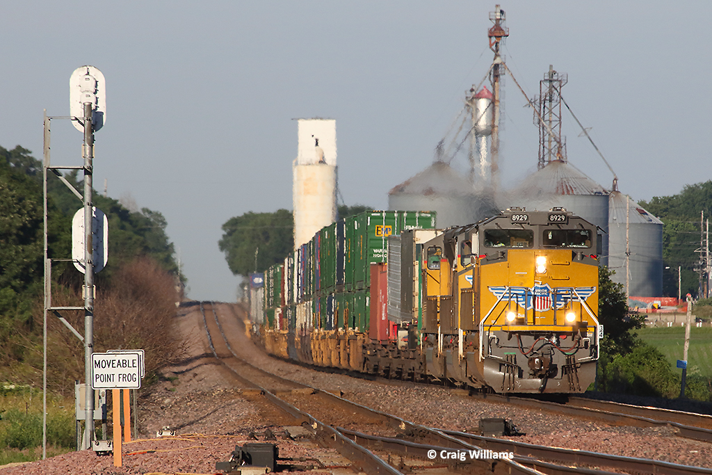
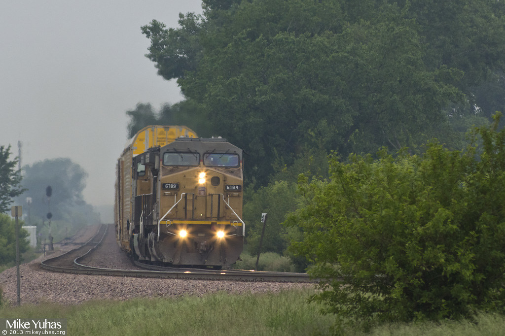
UP 8929 Westbound ZG2OA West of Calamus IA
Old & New Life
UP 5984 Eastbund UGINS West of Calamus IA
1986.35.509
20140310 62 Union Pacific RR, 190th Ave. crossing, Calamus, Iowa

It's great to be a #HAWKEYE!!
Homemade numbers
Maquoketa Caves 097
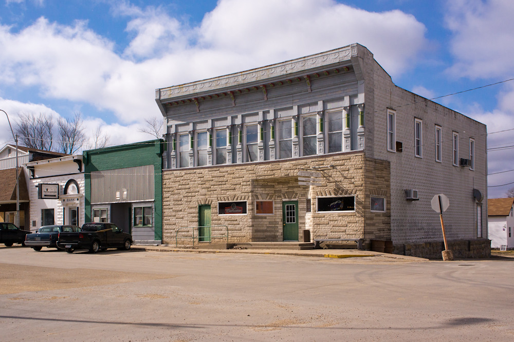
Steffen's Tap

Dec 2012
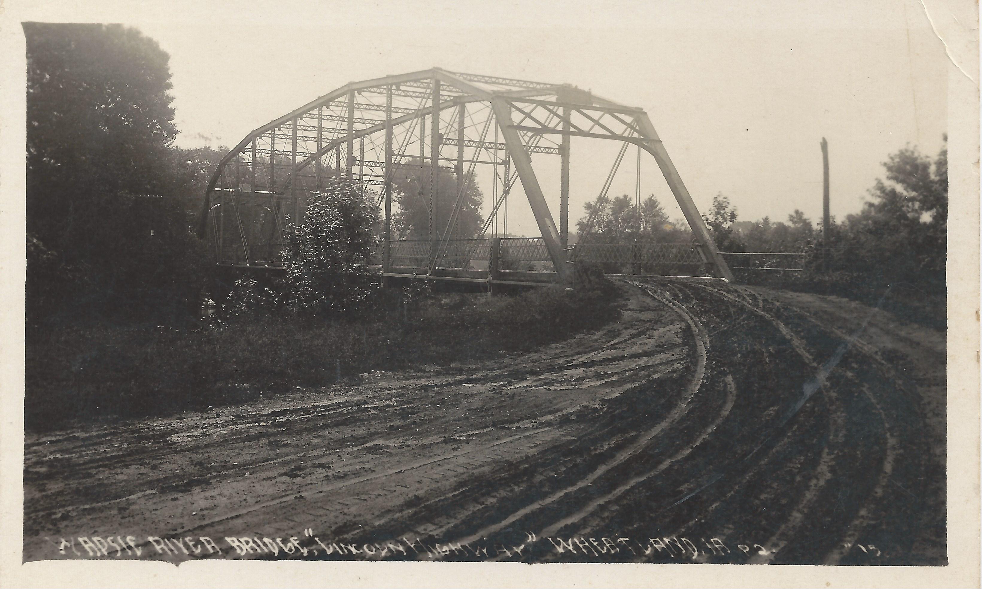
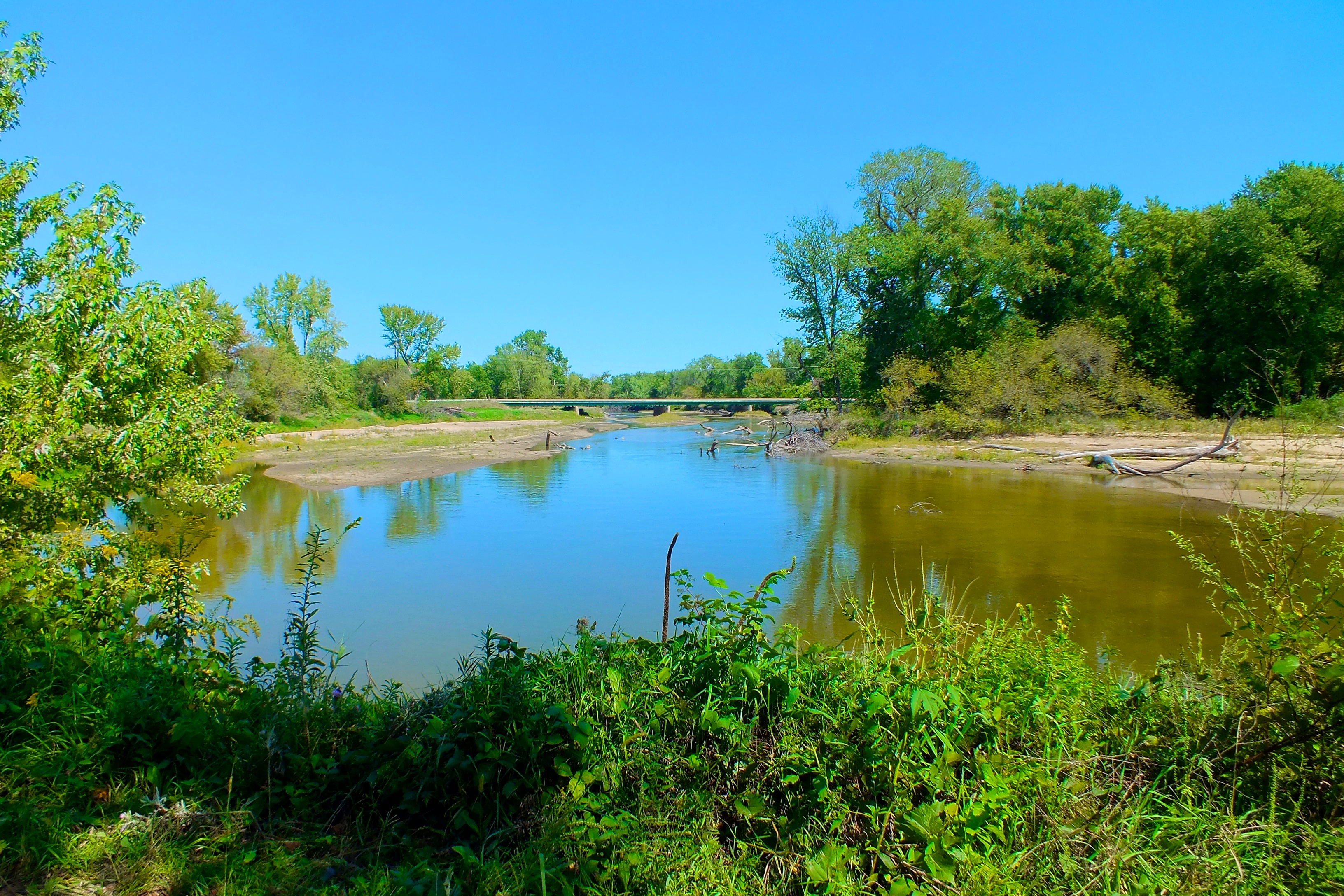
Wheatland, Iowa, Wapsipinicon River, Bridge, Lincoln Highway
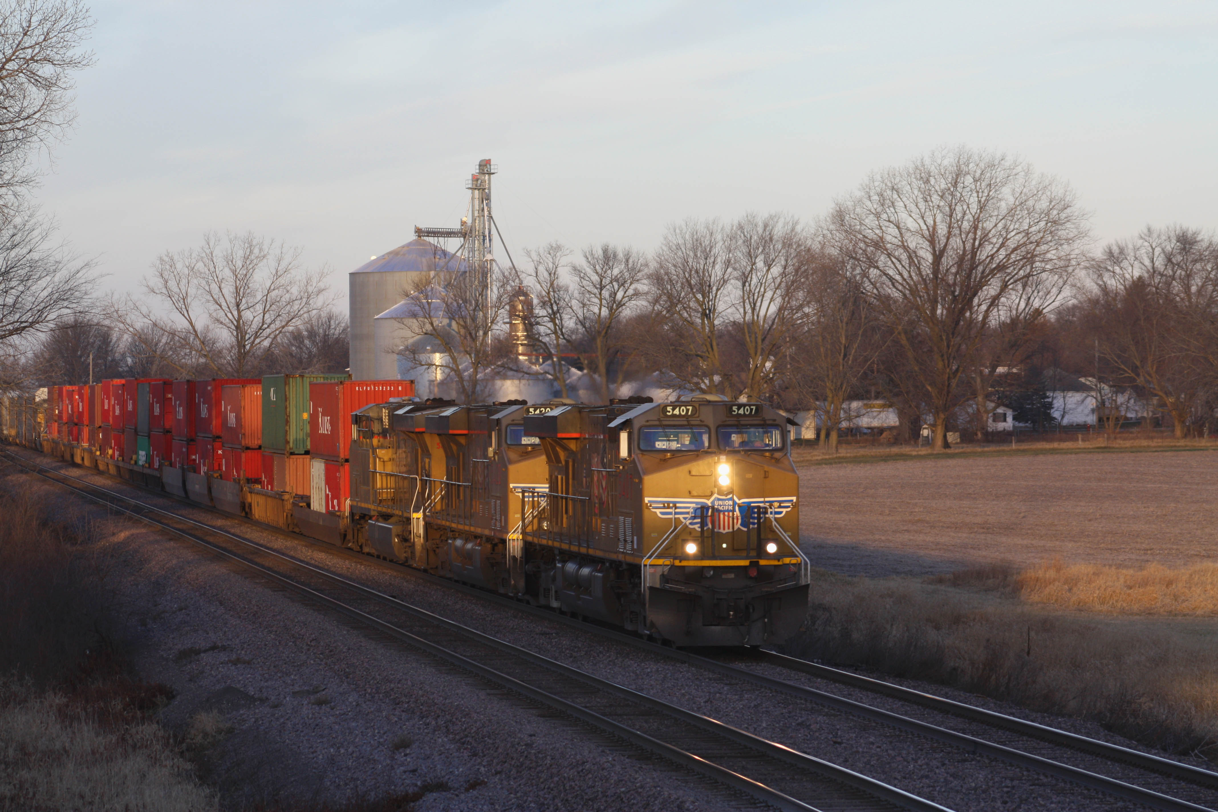
UP 5407 @ Wheatland, IA
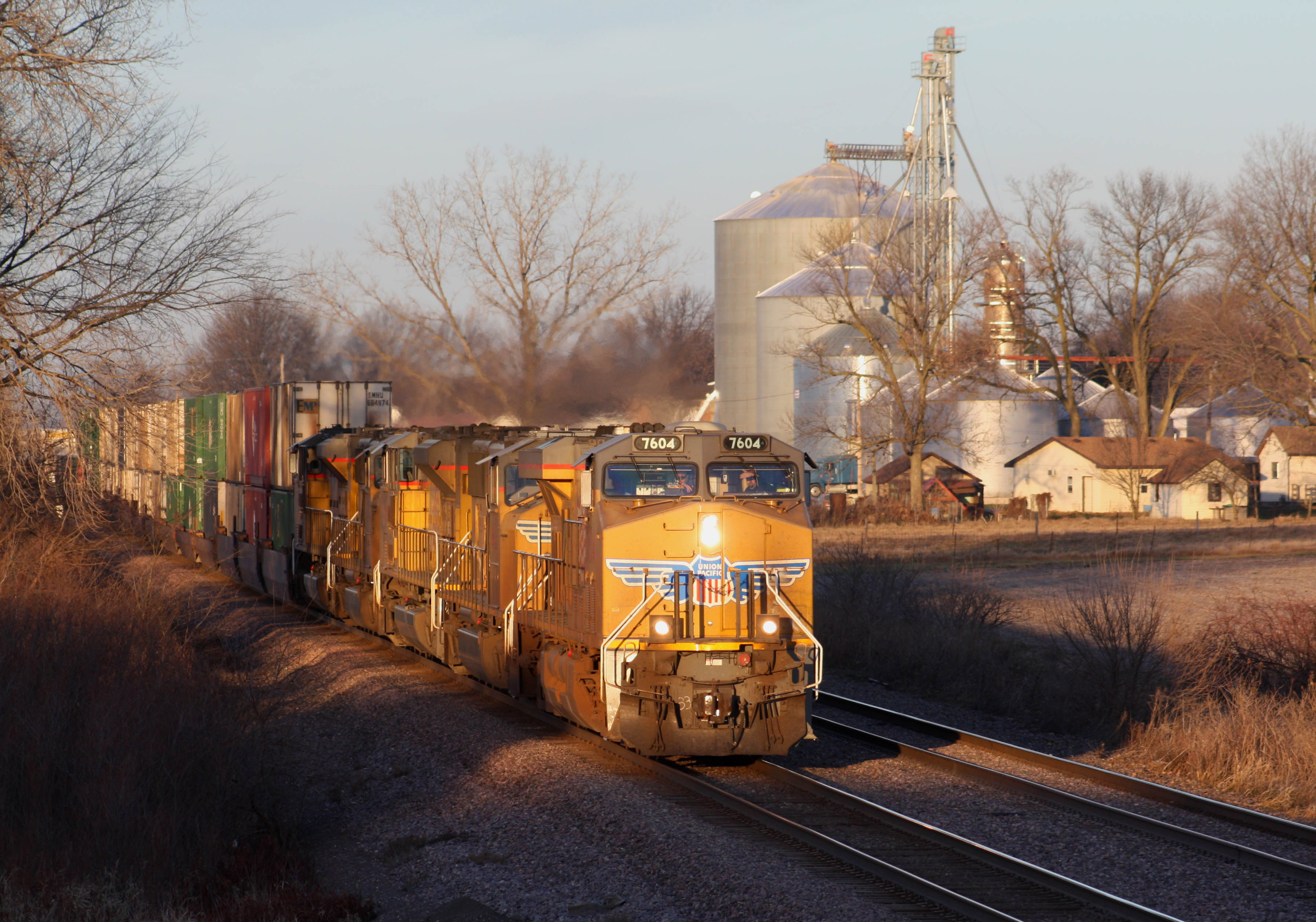
UP 7604 @ Wheatland, IA

US 30 westbound at US 61

Post Office 52774 (Welton, Iowa)
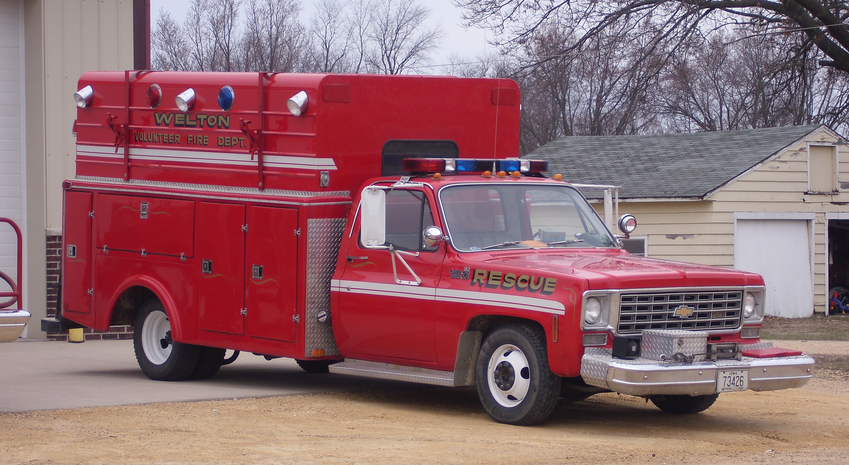
Welton Volunteer Fire Dept. Rescue
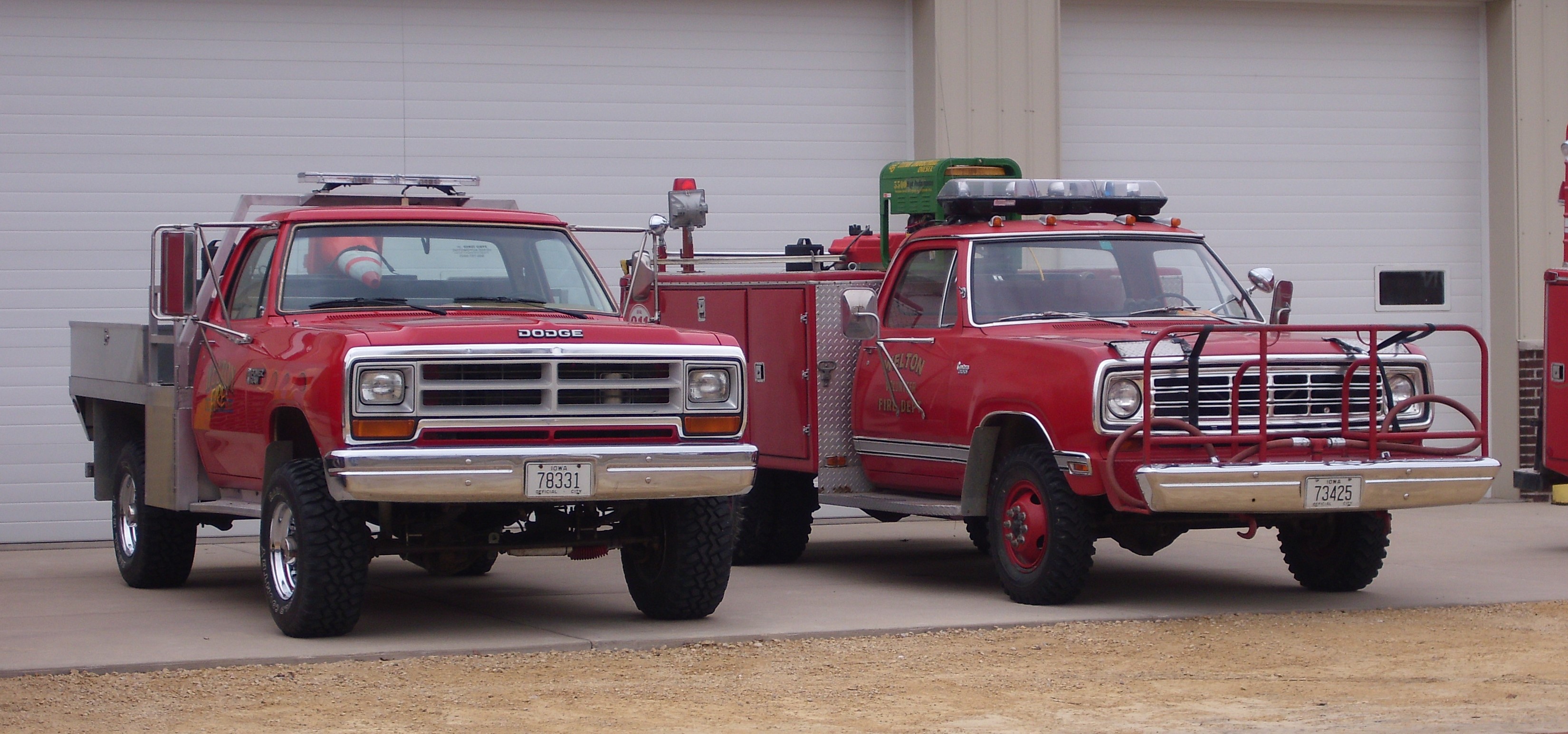
Welton Volunteer Fire Dept. Brush Units

Welton Volunteer Fire Dept. Engine
Topographic Map of Olive, IA, USA
Find elevation by address:

Places in Olive, IA, USA:
Places near Olive, IA, USA:
Main St, Calamus, IA, USA
Calamus
Dixon
Big Rock Rd, Dixon, IA, USA
E Jefferson St, Wheatland, IA, USA
Wheatland
Allens Grove
27400 97th Ave
N Main St, Donahue, IA, USA
Donahue
Welton
Liberty
New Liberty Rd, Walcott, IA, USA
Hickory Grove
New Liberty Rd, Walcott, IA, USA
Welton
Church St, Delmar, IA, USA
Long Ave, Lost Nation, IA, USA
Lost Nation
New Liberty Rd, Maysville, IA, USA
Recent Searches:
- Elevation of Pasing, Munich, Bavaria, 81241, Germany
- Elevation of 24, Auburn Bay Crescent SE, Auburn Bay, Calgary, Alberta, T3M 0A6, Canada
- Elevation of Denver, 2314, Arapahoe Street, Five Points, Denver, Colorado, 80205, USA
- Elevation of Community of the Beatitudes, 2924, West 43rd Avenue, Sunnyside, Denver, Colorado, 80211, USA
- Elevation map of Litang County, Sichuan, China
- Elevation map of Madoi County, Qinghai, China
- Elevation of 3314, Ohio State Route 114, Payne, Paulding County, Ohio, 45880, USA
- Elevation of Sarahills Drive, Saratoga, Santa Clara County, California, 95070, USA
- Elevation of Town of Bombay, Franklin County, New York, USA
- Elevation of 9, Convent Lane, Center Moriches, Suffolk County, New York, 11934, USA
- Elevation of Saint Angelas Convent, 9, Convent Lane, Center Moriches, Suffolk County, New York, 11934, USA
- Elevation of 131st Street Southwest, Mukilteo, Snohomish County, Washington, 98275, USA
- Elevation of 304, Harrison Road, Naples, Cumberland County, Maine, 04055, USA
- Elevation of 2362, Timber Ridge Road, Harrisburg, Cabarrus County, North Carolina, 28075, USA
- Elevation of Ridge Road, Marshalltown, Marshall County, Iowa, 50158, USA
- Elevation of 2459, Misty Shadows Drive, Pigeon Forge, Sevier County, Tennessee, 37862, USA
- Elevation of 8043, Brightwater Way, Spring Hill, Williamson County, Tennessee, 37179, USA
- Elevation of Starkweather Road, San Luis, Costilla County, Colorado, 81152, USA
- Elevation of 5277, Woodside Drive, Baton Rouge, East Baton Rouge Parish, Louisiana, 70808, USA
- Elevation of 1139, Curtin Street, Shepherd Park Plaza, Houston, Harris County, Texas, 77018, USA