Elevation of 97th Ave, Donahue, IA, USA
Location: United States > Iowa > Scott County > Allens Grove > Donahue >
Longitude: -90.710569
Latitude: 41.703427
Elevation: 226m / 741feet
Barometric Pressure: 99KPa
Elevation Map:
Satellite Map:
Related Photos:
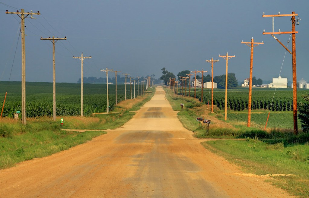
The old way west

view from above

View off my vantage. Lovely night in Walcott.

view from the upper level

Autumn Skies

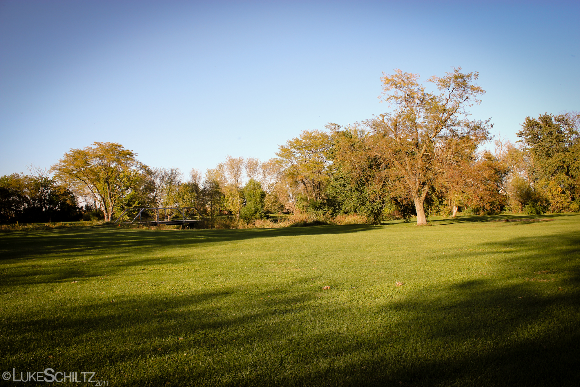
Rolling Fields

Fire!

Oct 2, 2011 2:12 PM

Spooky Nights

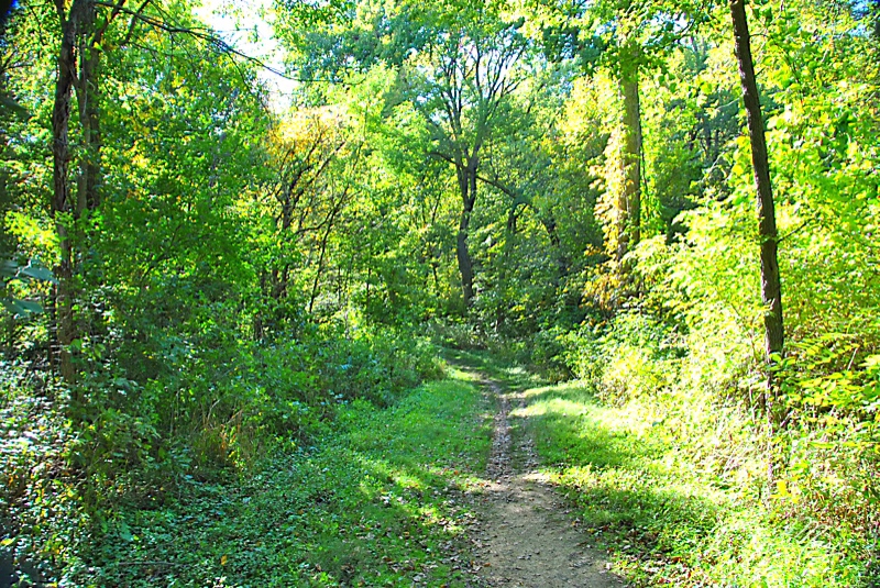
Afternoon Woods
Oct 2, 2011 2:44 PM

Oct 2, 2011 2:16 PM
Oct 2, 2011 2:56 PM

Image of Silence

Oct 2, 2011 2:29 PM
family-91

family-94
Oct 2, 2011 2:50 PM

Oct 2, 2011 2:15 PM
Oct 2, 2011 2:22 PM

20140310 54 Lincoln Highway, near Calamus, Iowa
Iowa Stitch 0613

IAIS Train BICB

fpu_tmp_1376675677.6907_225b60

2012-03-12 18.35.12 HDR
Topographic Map of 97th Ave, Donahue, IA, USA
Find elevation by address:

Places near 97th Ave, Donahue, IA, USA:
Allens Grove
Donahue
N Main St, Donahue, IA, USA
Hickory Grove
New Liberty Rd, Maysville, IA, USA
Maysville
New Liberty Rd, Walcott, IA, USA
New Liberty Rd, Walcott, IA, USA
Dixon
Scott County
Sheridan
Olive
Hillandale Rd, Davenport, IA, USA
Main St, Calamus, IA, USA
W Walcott Rd, Walcott, IA, USA
US-6, Davenport, IA, USA
Calamus
Big Rock Rd, Dixon, IA, USA
Eldridge
Walcott
Recent Searches:
- Elevation of Corso Fratelli Cairoli, 35, Macerata MC, Italy
- Elevation of Tallevast Rd, Sarasota, FL, USA
- Elevation of 4th St E, Sonoma, CA, USA
- Elevation of Black Hollow Rd, Pennsdale, PA, USA
- Elevation of Oakland Ave, Williamsport, PA, USA
- Elevation of Pedrógão Grande, Portugal
- Elevation of Klee Dr, Martinsburg, WV, USA
- Elevation of Via Roma, Pieranica CR, Italy
- Elevation of Tavkvetili Mountain, Georgia
- Elevation of Hartfords Bluff Cir, Mt Pleasant, SC, USA