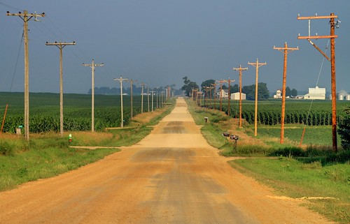
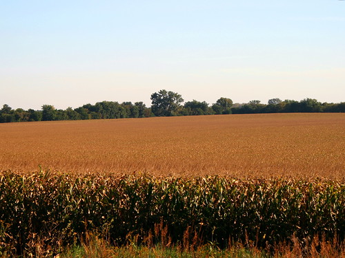
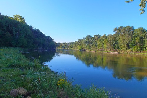
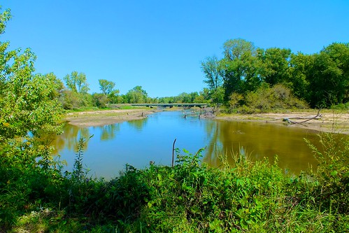
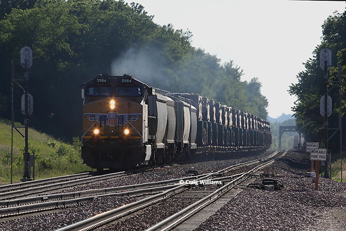
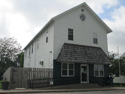
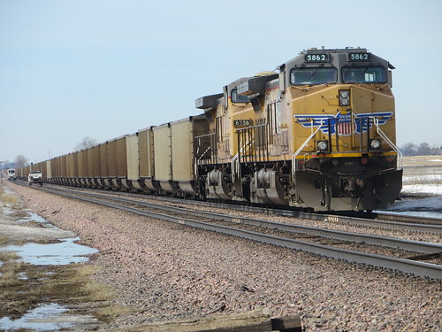
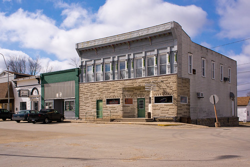
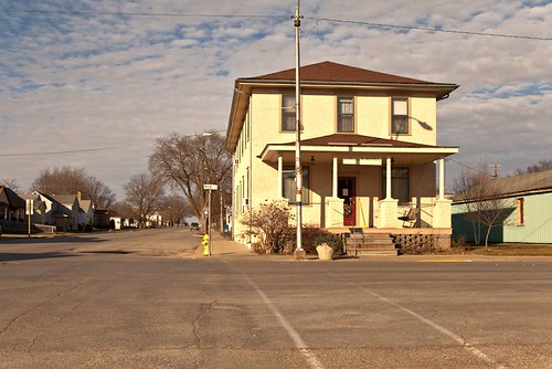
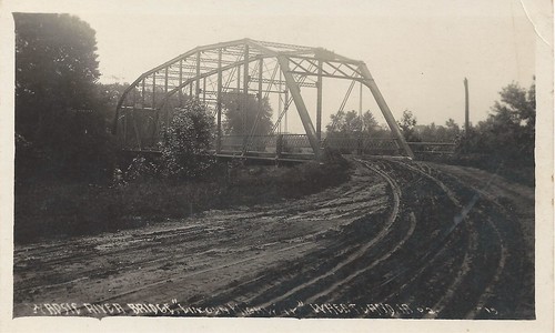
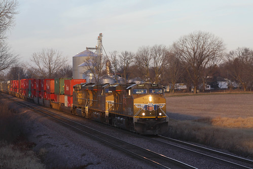
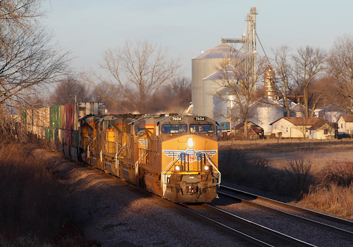
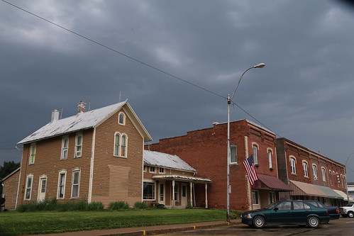
Elevation of Main St, Calamus, IA, USA
Location: United States > Iowa > Clinton County > Olive > Calamus >
Longitude: -90.758032
Latitude: 41.8254631
Elevation: 215m / 705feet
Barometric Pressure: 99KPa
Related Photos:
Topographic Map of Main St, Calamus, IA, USA
Find elevation by address:

Places near Main St, Calamus, IA, USA:
Calamus
Olive
E Jefferson St, Wheatland, IA, USA
Wheatland
Dixon
Big Rock Rd, Dixon, IA, USA
Allens Grove
Liberty
27400 97th Ave
Long Ave, Lost Nation, IA, USA
Lost Nation
N Main St, Donahue, IA, USA
Donahue
Welton
New Liberty Rd, Walcott, IA, USA
Main St, New Liberty, IA, USA
New Liberty
Hickory Grove
Lowden
New Liberty Rd, Walcott, IA, USA
Recent Searches:
- Elevation of Corso Fratelli Cairoli, 35, Macerata MC, Italy
- Elevation of Tallevast Rd, Sarasota, FL, USA
- Elevation of 4th St E, Sonoma, CA, USA
- Elevation of Black Hollow Rd, Pennsdale, PA, USA
- Elevation of Oakland Ave, Williamsport, PA, USA
- Elevation of Pedrógão Grande, Portugal
- Elevation of Klee Dr, Martinsburg, WV, USA
- Elevation of Via Roma, Pieranica CR, Italy
- Elevation of Tavkvetili Mountain, Georgia
- Elevation of Hartfords Bluff Cir, Mt Pleasant, SC, USA
