Elevation of Big Rock Rd, Dixon, IA, USA
Location: United States > Iowa > Scott County > Liberty > Dixon >
Longitude: -90.826363
Latitude: 41.770281
Elevation: 207m / 679feet
Barometric Pressure: 99KPa
Elevation Map:
Satellite Map:
Related Photos:
The old way west
family-91

family-94
Iowa Stitch 0613
Missing Feet
Four Horsemen
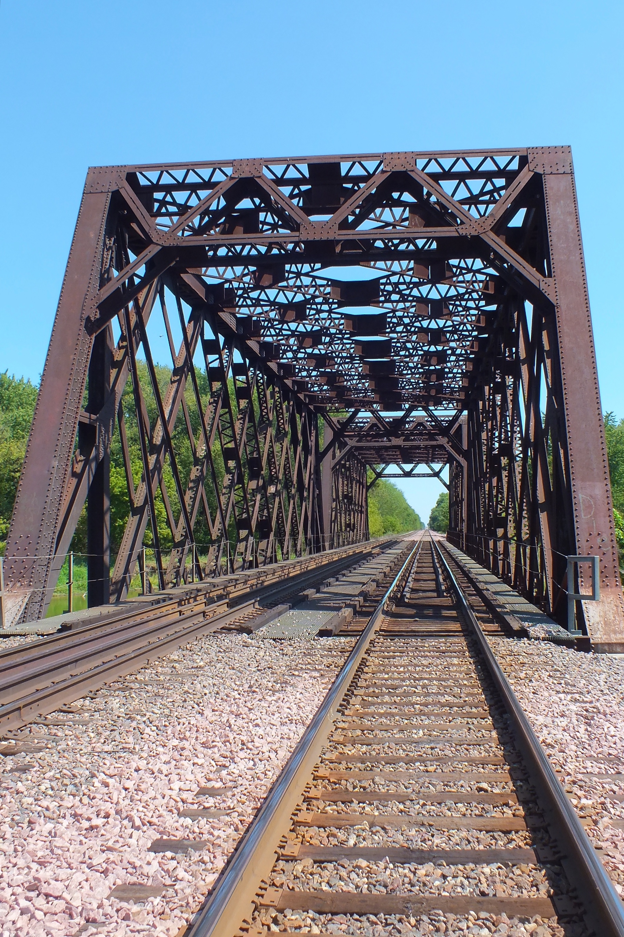
RR East

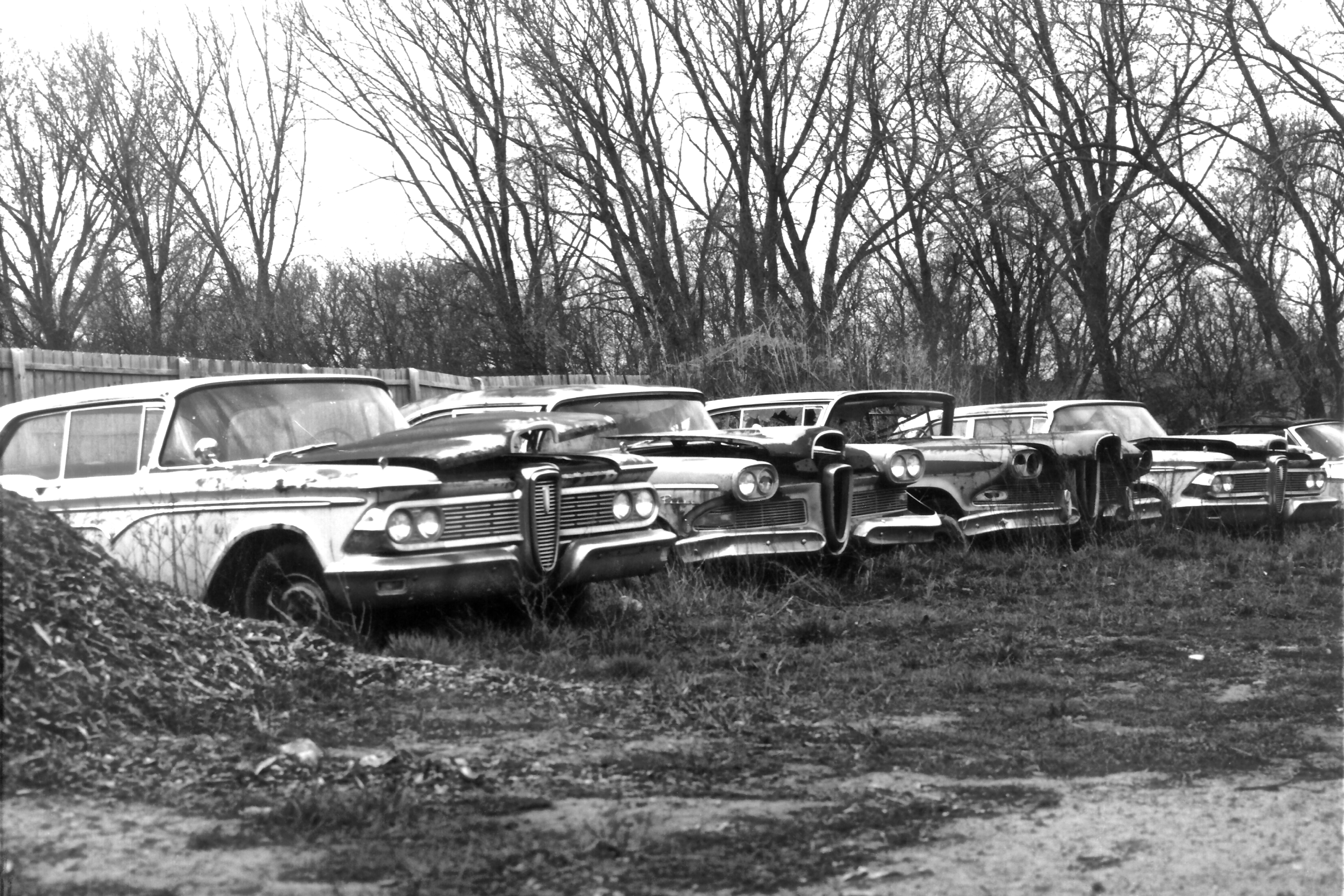
Edsels In Color

UP 8929 Westbound ZG2OA West of Calamus IA

Old & New Life

UP 5984 Eastbund UGINS West of Calamus IA

Spellbinding #rearviewmirror #sunset over the #nebraska #greatplains SS
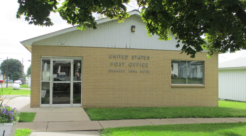
Post Office 52721 (Bennett, Iowa)
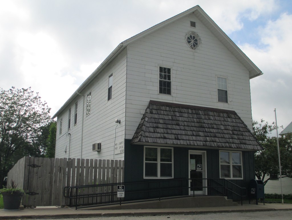
Post Office 52765 (New Liberty, Iowa)
1986.35.509

20140310 62 Union Pacific RR, 190th Ave. crossing, Calamus, Iowa

On the road in Iowa

Iowa Cornfield

Homemade numbers
Steffen's Tap
Lincoln Hotel

Dec 2012
Wheatland, Iowa, Wapsipinicon River, Bridge, Lincoln Highway

UP 5407 @ Wheatland, IA
Topographic Map of Big Rock Rd, Dixon, IA, USA
Find elevation by address:

Places near Big Rock Rd, Dixon, IA, USA:
Liberty
Dixon
E Jefferson St, Wheatland, IA, USA
Wheatland
Main St, New Liberty, IA, USA
New Liberty
Main St, Calamus, IA, USA
Calamus
Olive
New Liberty Rd, Walcott, IA, USA
Allens Grove
Lowden
27400 97th Ave
McKinley Ave, Lowden, IA, USA
New Liberty Rd, Walcott, IA, USA
Inland
Springfield
Hickory Grove
3rd St, Bennett, IA, USA
Bennett
Recent Searches:
- Elevation of Corso Fratelli Cairoli, 35, Macerata MC, Italy
- Elevation of Tallevast Rd, Sarasota, FL, USA
- Elevation of 4th St E, Sonoma, CA, USA
- Elevation of Black Hollow Rd, Pennsdale, PA, USA
- Elevation of Oakland Ave, Williamsport, PA, USA
- Elevation of Pedrógão Grande, Portugal
- Elevation of Klee Dr, Martinsburg, WV, USA
- Elevation of Via Roma, Pieranica CR, Italy
- Elevation of Tavkvetili Mountain, Georgia
- Elevation of Hartfords Bluff Cir, Mt Pleasant, SC, USA