Elevation of Springfield, IA, USA
Location: United States > Iowa > Cedar County >
Longitude: -90.962952
Latitude: 41.8163055
Elevation: 272m / 892feet
Barometric Pressure: 98KPa
Elevation Map:
Satellite Map:
Related Photos:
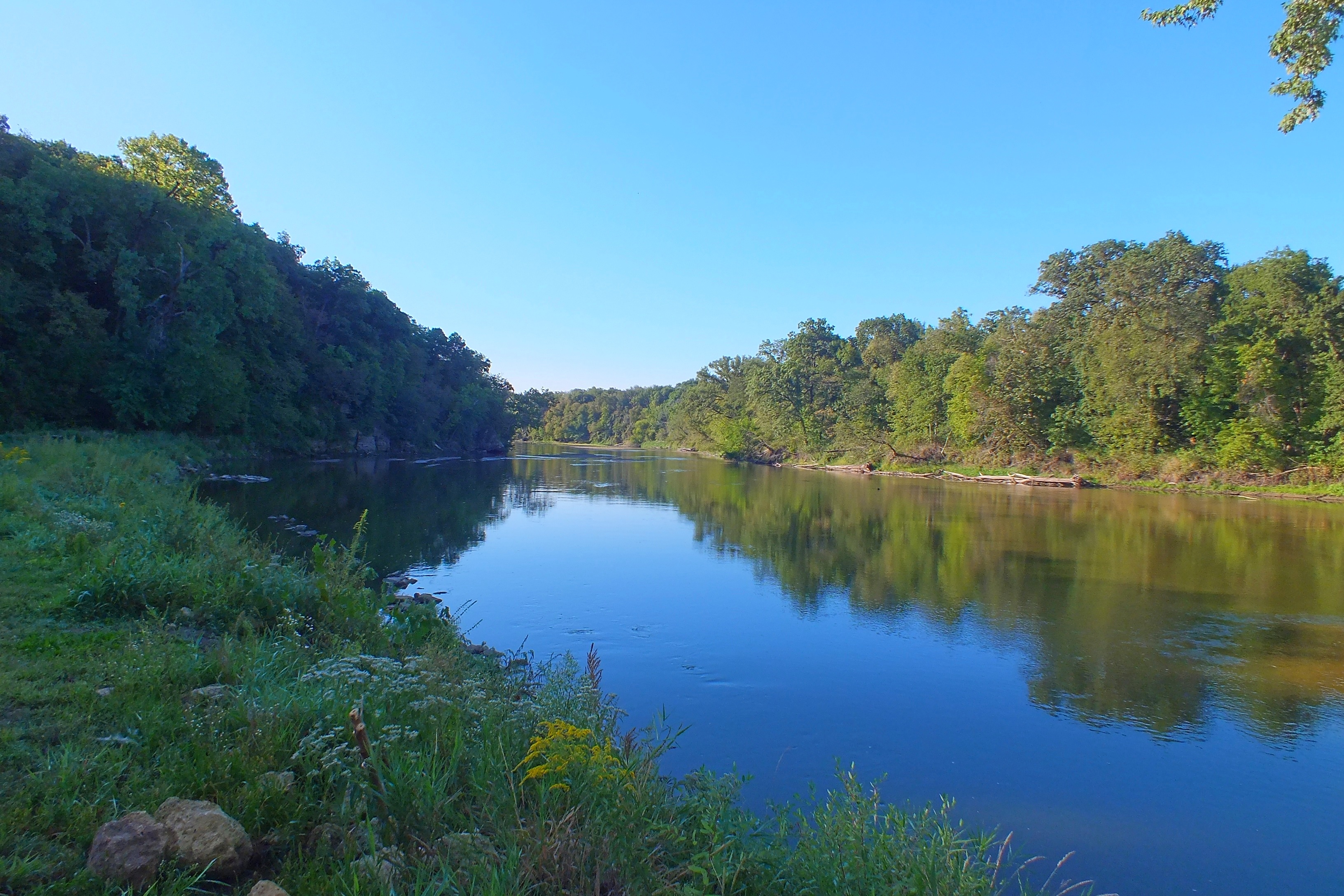
Downstream


UP Train's CWCNA-03 & CNAAU-02

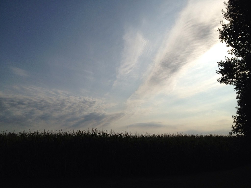
Iowan Skies

Fireworks, 13
Missing Feet

Fireworks, 19

Fire Works, 22

Fireworks, 2

UP 4489 Eastbound ZBRG1B at Clarence IA

UP 7936 Westbound ZG2LT 21 East of Clarence IA

UP 5763 Westbound AGBNPB 21 at Clarence IA

UP 6067 Eastbound DP 2CNAOK9 at Clarence IA

UP 8704 Eastbound ZCIG1 18 at Clarence IA

Fireworks, 7
Fireworks, 5
Four Horsemen
Fireworks, 17

Fireworks, 11
RR East
Edsels In Color
UP 4140 Eastbound MNPCH at Clarence IA

Fireworks, 18
Topographic Map of Springfield, IA, USA
Find elevation by address:

Places in Springfield, IA, USA:
Places near Springfield, IA, USA:
McKinley Ave, Lowden, IA, USA
Lowden
3rd St, Bennett, IA, USA
Bennett
Inland
⛉ Industrial Park Dr, Clarence, IA, USA
Clarence
Wheatland
E Jefferson St, Wheatland, IA, USA
New Liberty
Main St, New Liberty, IA, USA
Liberty
Dayton
Big Rock Rd, Dixon, IA, USA
Oxford Mills
Oxford
Farmington
Oxford Junction
Tipton, IA, USA
Cedar St, Tipton, IA, USA
Recent Searches:
- Elevation of Corso Fratelli Cairoli, 35, Macerata MC, Italy
- Elevation of Tallevast Rd, Sarasota, FL, USA
- Elevation of 4th St E, Sonoma, CA, USA
- Elevation of Black Hollow Rd, Pennsdale, PA, USA
- Elevation of Oakland Ave, Williamsport, PA, USA
- Elevation of Pedrógão Grande, Portugal
- Elevation of Klee Dr, Martinsburg, WV, USA
- Elevation of Via Roma, Pieranica CR, Italy
- Elevation of Tavkvetili Mountain, Georgia
- Elevation of Hartfords Bluff Cir, Mt Pleasant, SC, USA