Elevation of Tipton, IA, USA
Location: United States > Iowa > Cedar County > Center >
Longitude: -91.09694
Latitude: 41.7156082
Elevation: 244m / 801feet
Barometric Pressure: 98KPa
Elevation Map:
Satellite Map:
Related Photos:
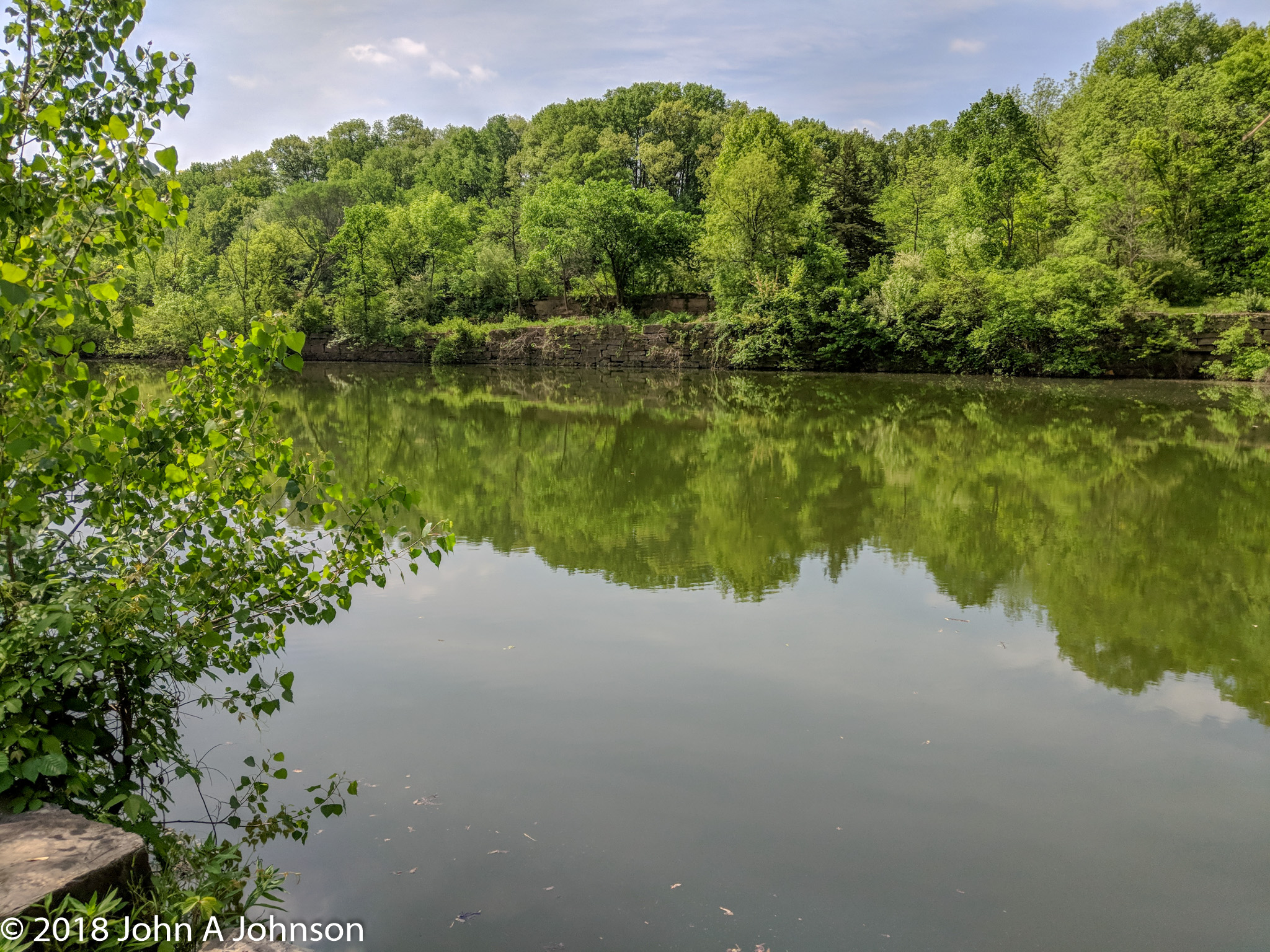
2018-05-19 Cedar River Park quarry

IAIS 6988 at Moscow

2018-05-19 Cedar River Park quarry pano

Cedar River Overflow

Eye Oh Wah

The Jerk

Whatcha looking at?

IAIS CBBI 27

All wired up

iais 6988moscow

Rochester Cemetery

Hidden Gardens

Iowa landscape

Iowa pastoral

Herd of cows

Roadtex pictures

Roadtex pictures

Roadtex pictures

Roadtex pictures

Roadtex pictures

Roadtex pictures
Topographic Map of Tipton, IA, USA
Find elevation by address:

Places near Tipton, IA, USA:
Center
Cedar St, Tipton, IA, USA
Tipton
Cedar County
Bennett
3rd St, Bennett, IA, USA
Inland
Moscow
Moscow Rd, Moscow, IA, USA
Farmington
Wilton
E 4th St, Wilton, IA, USA
Springfield
Wilton
Clarence
⛉ Industrial Park Dr, Clarence, IA, USA
Dayton
Moscow
E Broadway St, Stanwood, IA, USA
Stanwood
Recent Searches:
- Elevation of Corso Fratelli Cairoli, 35, Macerata MC, Italy
- Elevation of Tallevast Rd, Sarasota, FL, USA
- Elevation of 4th St E, Sonoma, CA, USA
- Elevation of Black Hollow Rd, Pennsdale, PA, USA
- Elevation of Oakland Ave, Williamsport, PA, USA
- Elevation of Pedrógão Grande, Portugal
- Elevation of Klee Dr, Martinsburg, WV, USA
- Elevation of Via Roma, Pieranica CR, Italy
- Elevation of Tavkvetili Mountain, Georgia
- Elevation of Hartfords Bluff Cir, Mt Pleasant, SC, USA