Elevation of Tipton, IA, USA
Location: United States > Iowa > Cedar County > Center >
Longitude: -91.127934
Latitude: 41.7697434
Elevation: 251m / 823feet
Barometric Pressure: 98KPa
Elevation Map:
Satellite Map:
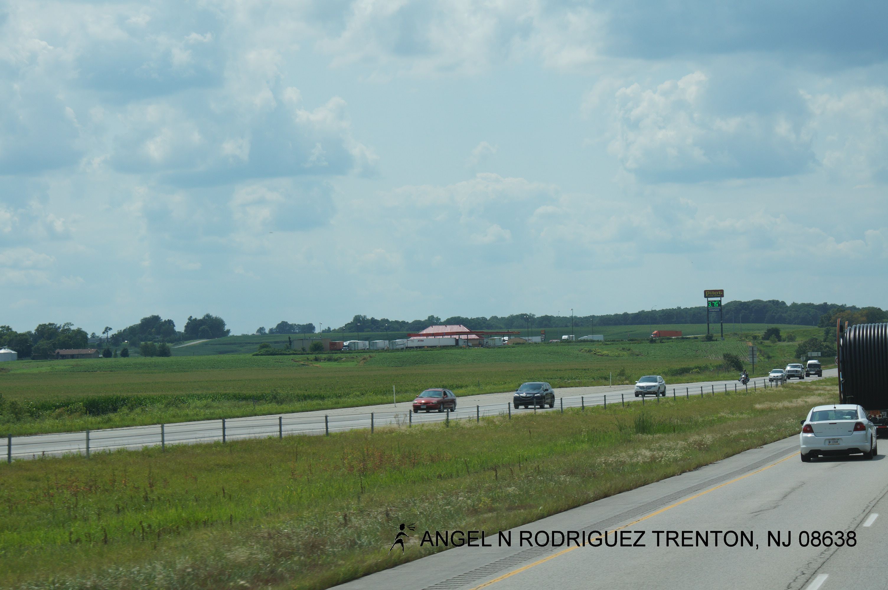
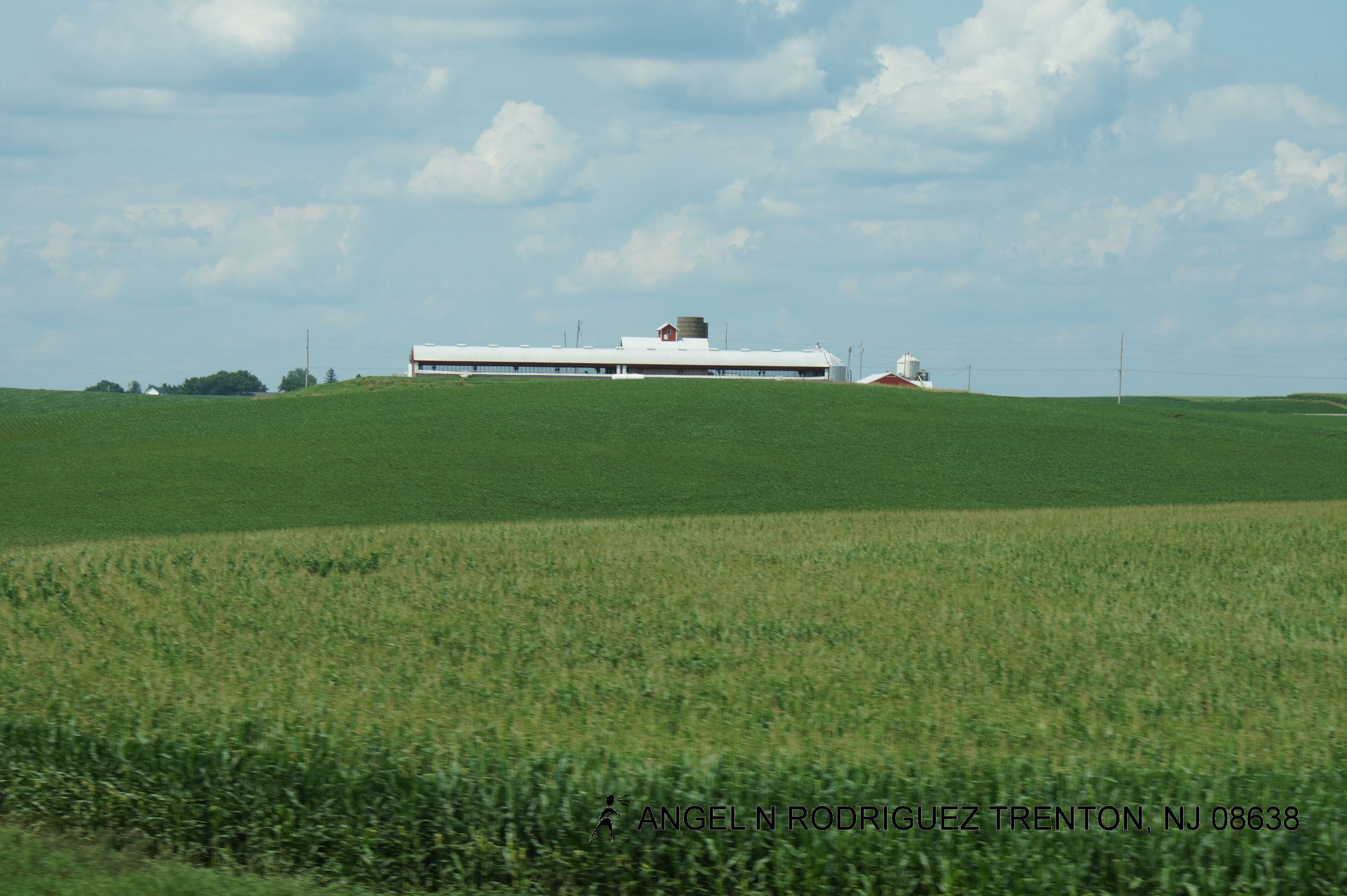
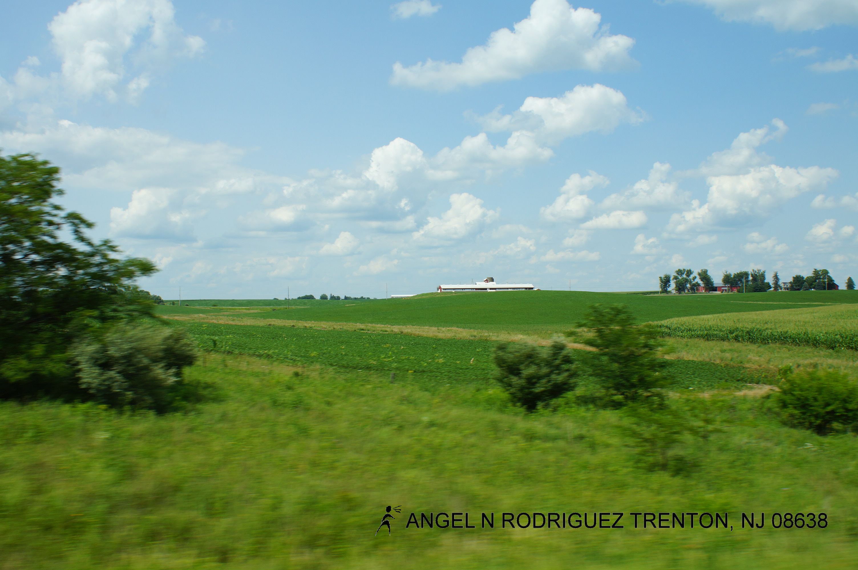
Related Photos:

Eye Oh Wah

Roadside Iowa: Purple, 110907

All wired up

Whatcha looking at?

Herd of cows

Iowa pastoral
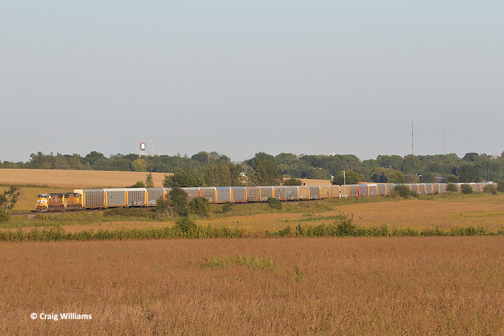
UP 5015 Westbound AGBNPB West of Standwood IA
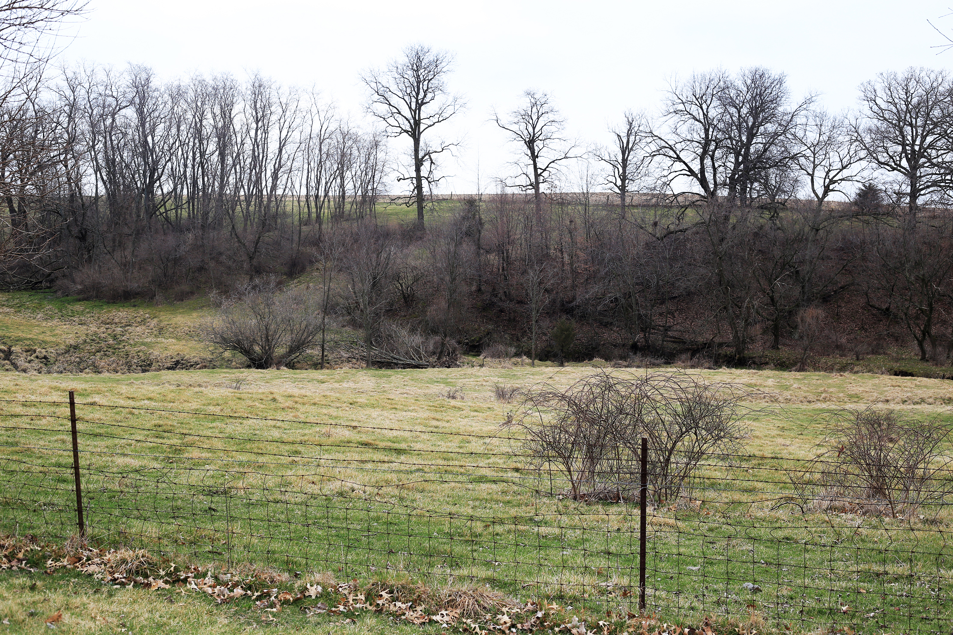
Iowa landscape
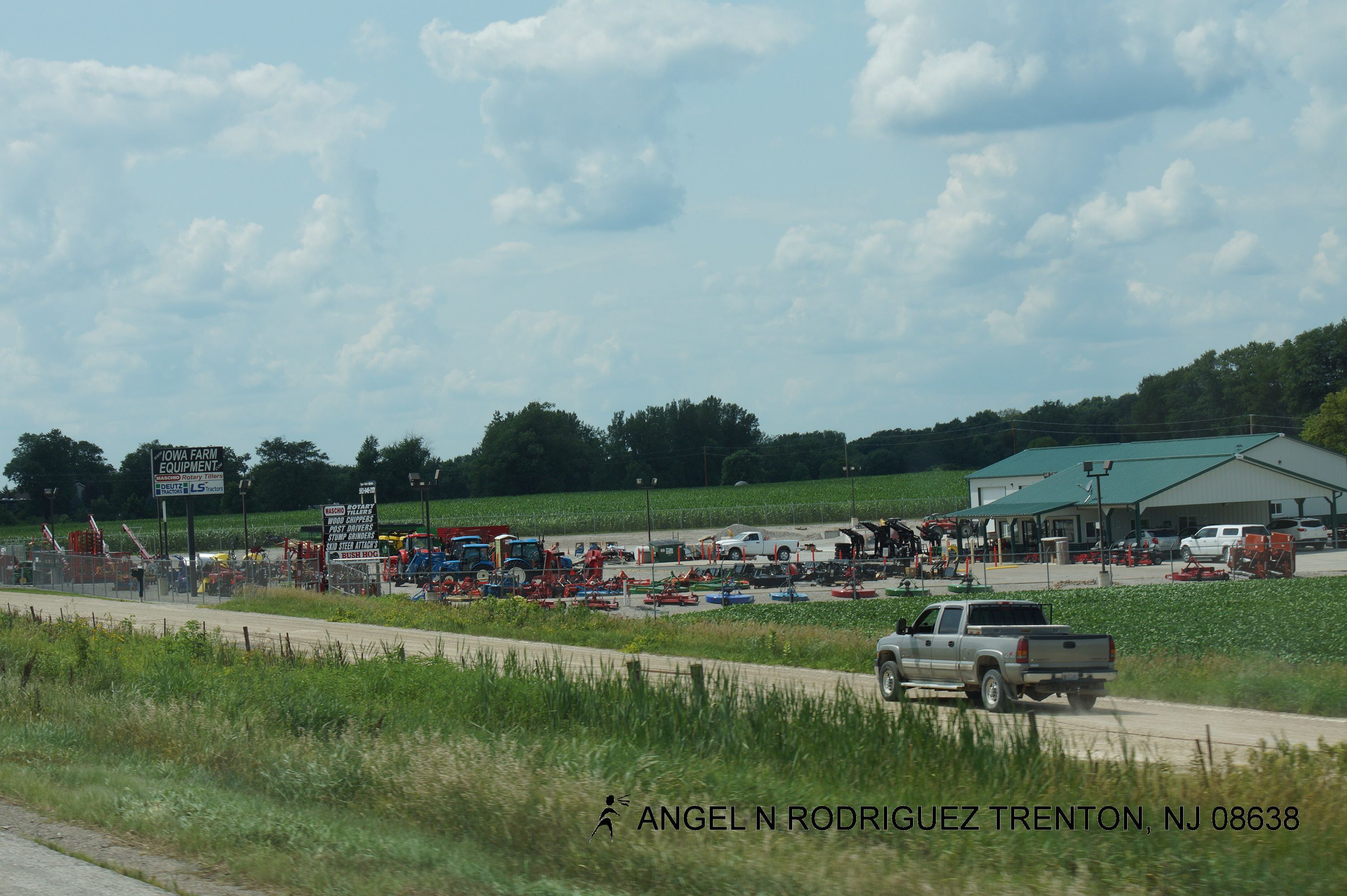
Roadtex pictures
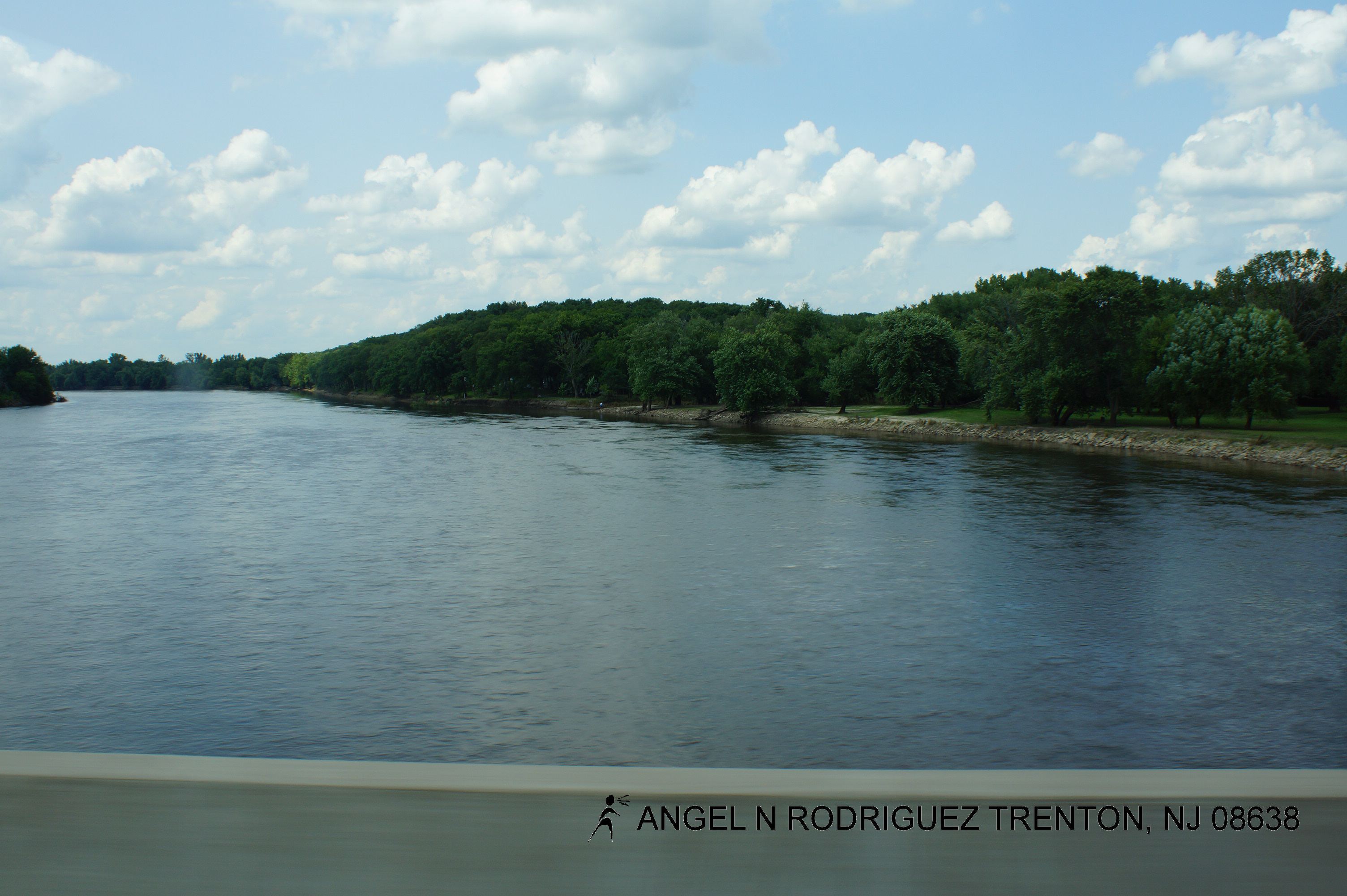
Roadtex pictures

Roadtex pictures
Roadtex pictures
Roadtex pictures
Roadtex pictures

Cedar River Overflow
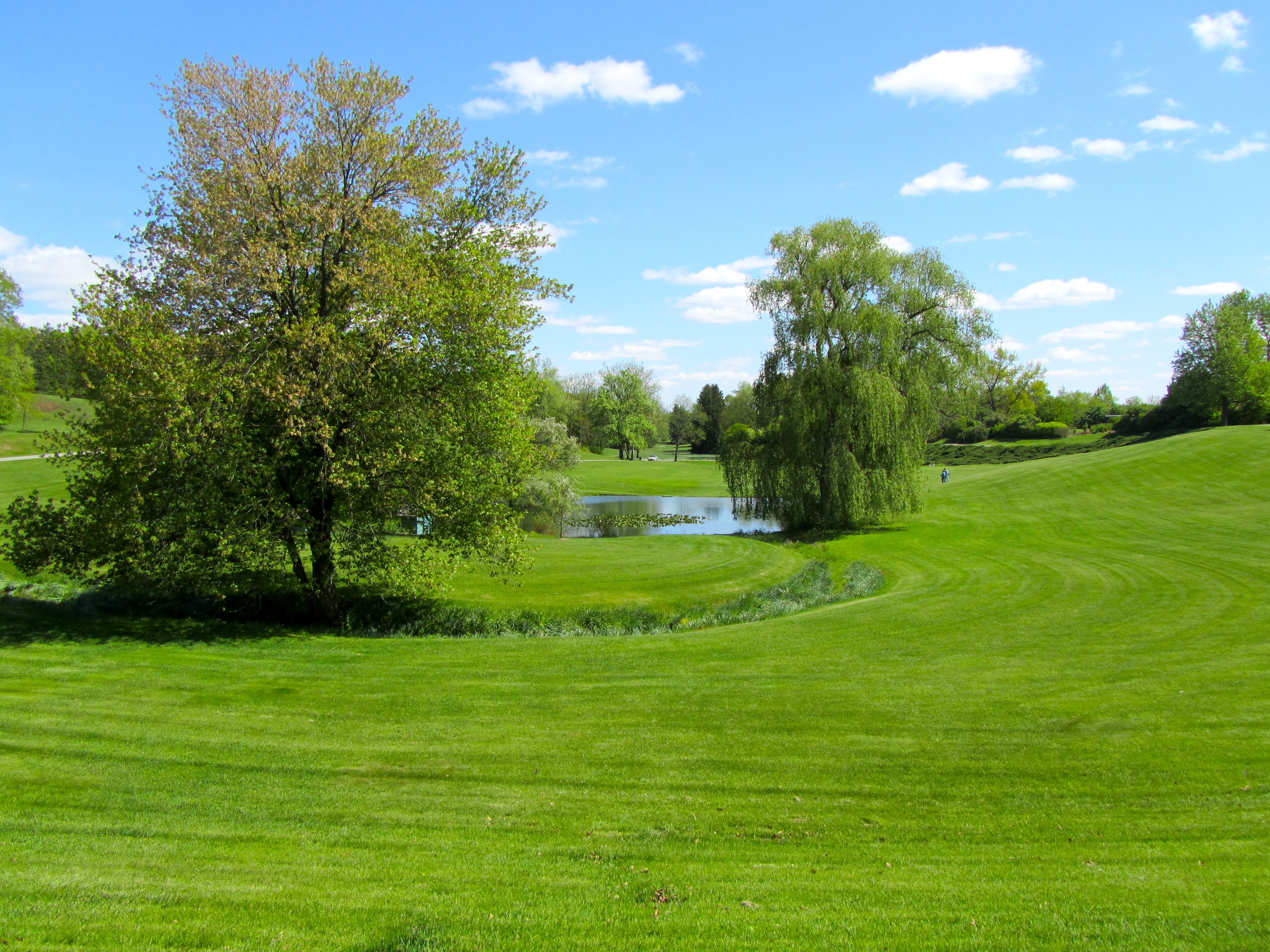
Hidden Gardens
Topographic Map of Tipton, IA, USA
Find elevation by address:

Places in Tipton, IA, USA:
Places near Tipton, IA, USA:
Cedar St, Tipton, IA, USA
Center
Tipton, IA, USA
Cedar County
E Broadway St, Stanwood, IA, USA
Stanwood
Dayton
Clarence
⛉ Industrial Park Dr, Clarence, IA, USA
Fremont
Bennett
3rd St, Bennett, IA, USA
Inland
Springfield
400 E South St
Plato Rd, West Branch, IA, USA
Gower
Moscow
Farmington
Moscow Rd, Moscow, IA, USA
Recent Searches:
- Elevation of Corso Fratelli Cairoli, 35, Macerata MC, Italy
- Elevation of Tallevast Rd, Sarasota, FL, USA
- Elevation of 4th St E, Sonoma, CA, USA
- Elevation of Black Hollow Rd, Pennsdale, PA, USA
- Elevation of Oakland Ave, Williamsport, PA, USA
- Elevation of Pedrógão Grande, Portugal
- Elevation of Klee Dr, Martinsburg, WV, USA
- Elevation of Via Roma, Pieranica CR, Italy
- Elevation of Tavkvetili Mountain, Georgia
- Elevation of Hartfords Bluff Cir, Mt Pleasant, SC, USA