Elevation of Allens Grove, IA, USA
Location: United States > Iowa > Scott County >
Longitude: -90.724773
Latitude: 41.7085871
Elevation: 228m / 748feet
Barometric Pressure: 0KPa
Related Photos:
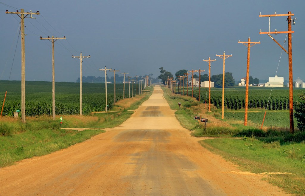
The old way west
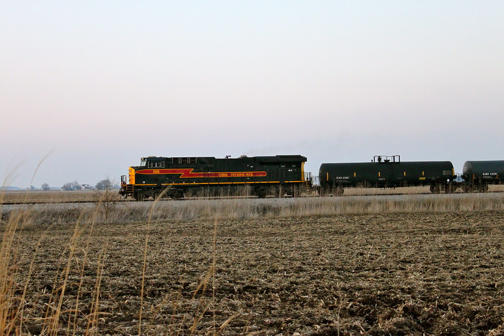
Iowa 509 West

view from above

View off my vantage. Lovely night in Walcott.

view from the upper level

I love driving through the open roads of random small towns out in Iowa.
Oct 2, 2011 2:12 PM
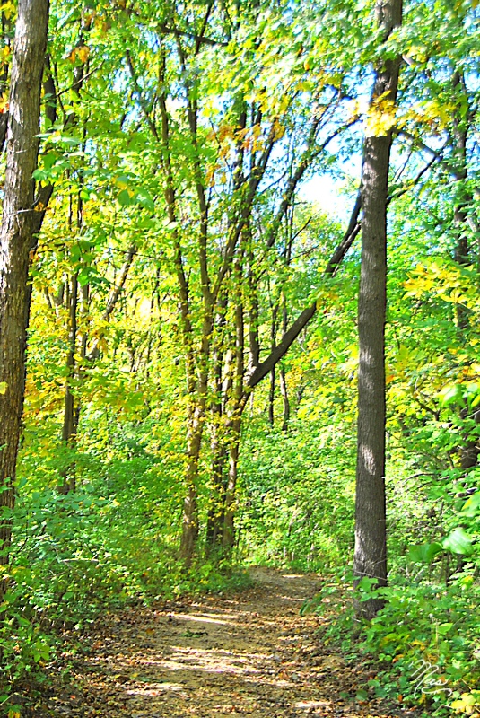
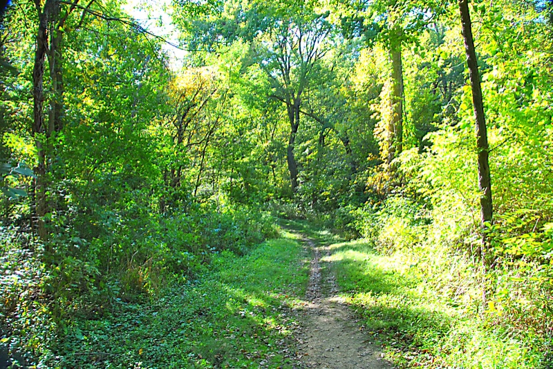
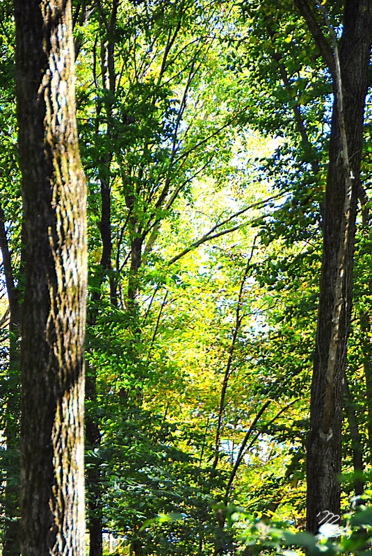
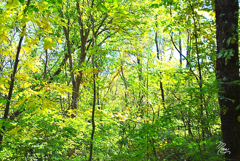
Afternoon Woods
Oct 2, 2011 2:44 PM
Oct 2, 2011 2:16 PM
Oct 2, 2011 2:56 PM

Oct 2, 2011 2:29 PM

Iowa. #nofilter
Oct 2, 2011 2:50 PM

family-94
Oct 2, 2011 2:34 PM
family-91

Spooky Nights
Oct 2, 2011 2:24 PM
Oct 2, 2011 2:15 PM
Iowa Stitch 0613
Oct 2, 2011 2:12 PM
Oct 2, 2011 2:22 PM

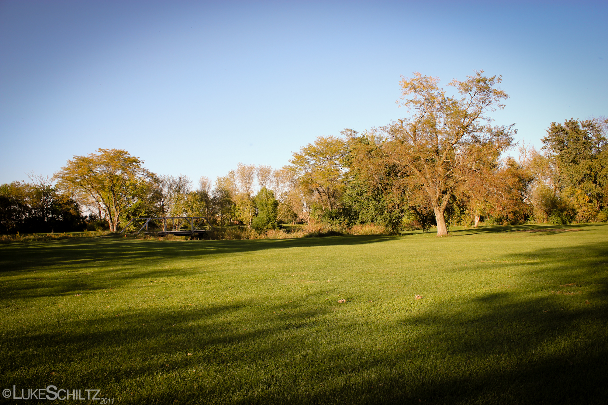
Rolling Fields
Image of Silence
Topographic Map of Allens Grove, IA, USA
Find elevation by address:

Places in Allens Grove, IA, USA:
Places near Allens Grove, IA, USA:
27400 97th Ave
Hickory Grove
Donahue
N Main St, Donahue, IA, USA
New Liberty Rd, Walcott, IA, USA
New Liberty Rd, Maysville, IA, USA
Maysville
Dixon
New Liberty Rd, Walcott, IA, USA
Olive
Scott County
Sheridan
Big Rock Rd, Dixon, IA, USA
Main St, Calamus, IA, USA
Calamus
Liberty
W Walcott Rd, Walcott, IA, USA
Walcott
Hillandale Rd, Davenport, IA, USA
US-6, Davenport, IA, USA
Recent Searches:
- Elevation map of Litang County, Sichuan, China
- Elevation map of Madoi County, Qinghai, China
- Elevation of 3314, Ohio State Route 114, Payne, Paulding County, Ohio, 45880, USA
- Elevation of Sarahills Drive, Saratoga, Santa Clara County, California, 95070, USA
- Elevation of Town of Bombay, Franklin County, New York, USA
- Elevation of 9, Convent Lane, Center Moriches, Suffolk County, New York, 11934, USA
- Elevation of Saint Angelas Convent, 9, Convent Lane, Center Moriches, Suffolk County, New York, 11934, USA
- Elevation of 131st Street Southwest, Mukilteo, Snohomish County, Washington, 98275, USA
- Elevation of 304, Harrison Road, Naples, Cumberland County, Maine, 04055, USA
- Elevation of 2362, Timber Ridge Road, Harrisburg, Cabarrus County, North Carolina, 28075, USA
- Elevation of Ridge Road, Marshalltown, Marshall County, Iowa, 50158, USA
- Elevation of 2459, Misty Shadows Drive, Pigeon Forge, Sevier County, Tennessee, 37862, USA
- Elevation of 8043, Brightwater Way, Spring Hill, Williamson County, Tennessee, 37179, USA
- Elevation of Starkweather Road, San Luis, Costilla County, Colorado, 81152, USA
- Elevation of 5277, Woodside Drive, Baton Rouge, East Baton Rouge Parish, Louisiana, 70808, USA
- Elevation of 1139, Curtin Street, Shepherd Park Plaza, Houston, Harris County, Texas, 77018, USA
- Elevation of 136, Sellers Lane, Repton, Monroe County, Alabama, 36475, USA
- Elevation of 12914, Elmington Drive, Lakewood Forest, Houston, Harris County, Texas, 77429, USA
- Elevation of 417, Camelot Drive, Statesville, Iredell County, North Carolina, 28625, USA
- Elevation of 5792, Wildridge Road, Avon, Eagle County, Colorado, 81620, USA