Elevation of Ogden Rd, Wilmington, OH, USA
Location: United States > Ohio > Clinton County > Wilmington >
Longitude: -83.911455
Latitude: 39.430873
Elevation: 278m / 912feet
Barometric Pressure: 98KPa
Elevation Map:
Satellite Map:
Related Photos:

Caesar Creek Lake View
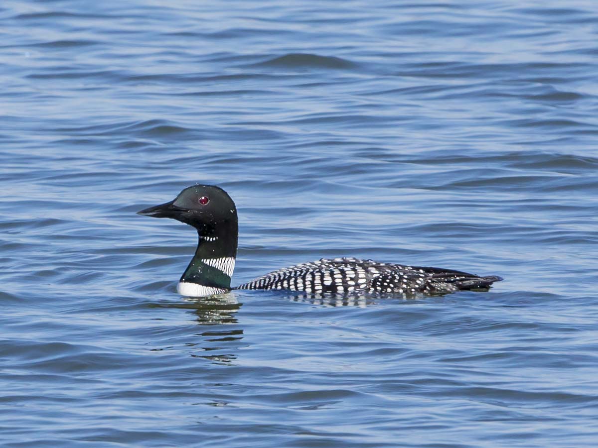
COMMON LOON

Caesar Creek Lake View
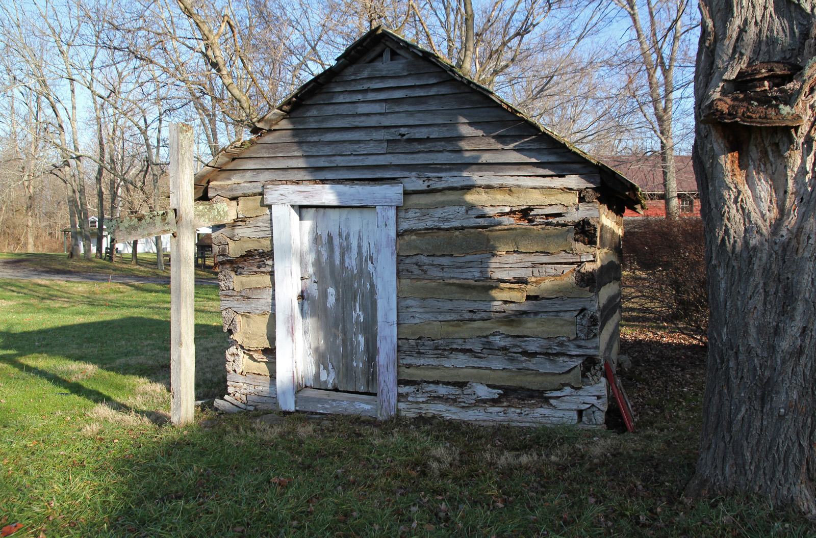
Elam Smokehouse — Caesar's Creek Pioneer Village, Harveysburg, OH

LOOKING FOR A CALIFORNIA -- LARGER GULLS OFF HARVEYSBURG RD on MARCH 26th

WIDOW SKIMMER DRAGONFLY
Caesar Creek Spillway View

NORTHERN FLICKER

Caesar Creek Spillway View

The Sky turns Pastel

BONAPARTE'S GULL
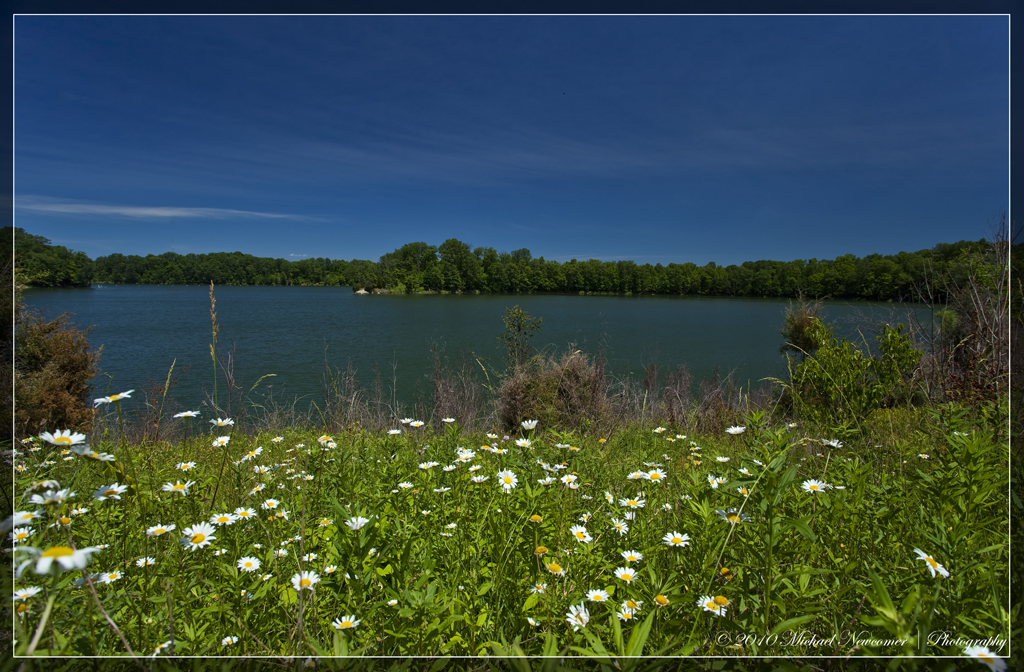
Caesar Creek Lake View

HORNED GREBE LANDING

EASTERN PONDHAWKS - MATING WHEEL

PILEATED WOODPECKER

MOUND ROAD MUDFLAT - DUCKS, SHOREBIRDS, & WADERS

GREAT BLUE HERON

GREAT BLUE HERON

Caesar Creek Spillway View

COMMON LOON
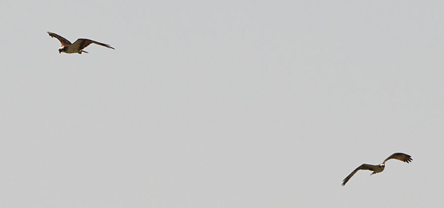
OSPREYS off HAINES RD BOAT RAMP

2011-05-07 at 08-44-00

2011-07-03 at 07-27-46

2011-07-03 at 06-27-50

GREAT BLUE HERON at the MUDFLAT

Caterpillar grass

A sullen sun

SACHEM SKIPPER

SILVER-SPOTTED SKIPPER

CAESAR CREEK STATE PARK - MOUND ROAD MUDFLAT

BLACK SWALLOWTAIL

Horseshoe Falls

2011-05-07 at 09-30-14

Legacy 2011-061
Caesar's Creek Trail

Xmas Dayton 2005

The Big Dipper

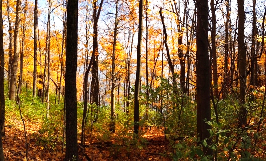
Forest sunset

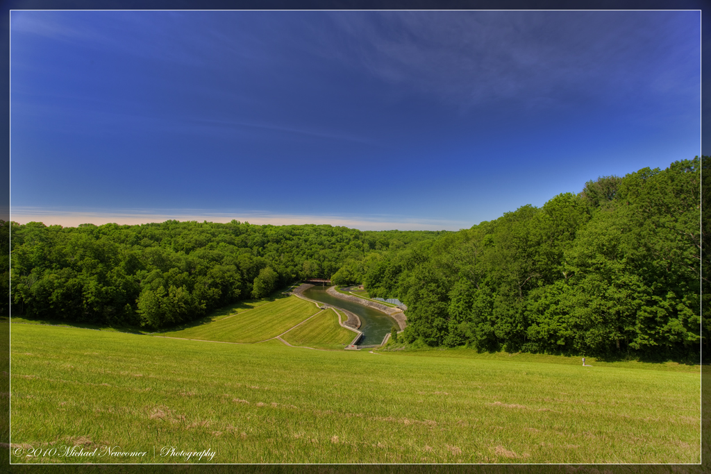
Caesar Creek HDR Pano

Eastern Wood Pewee
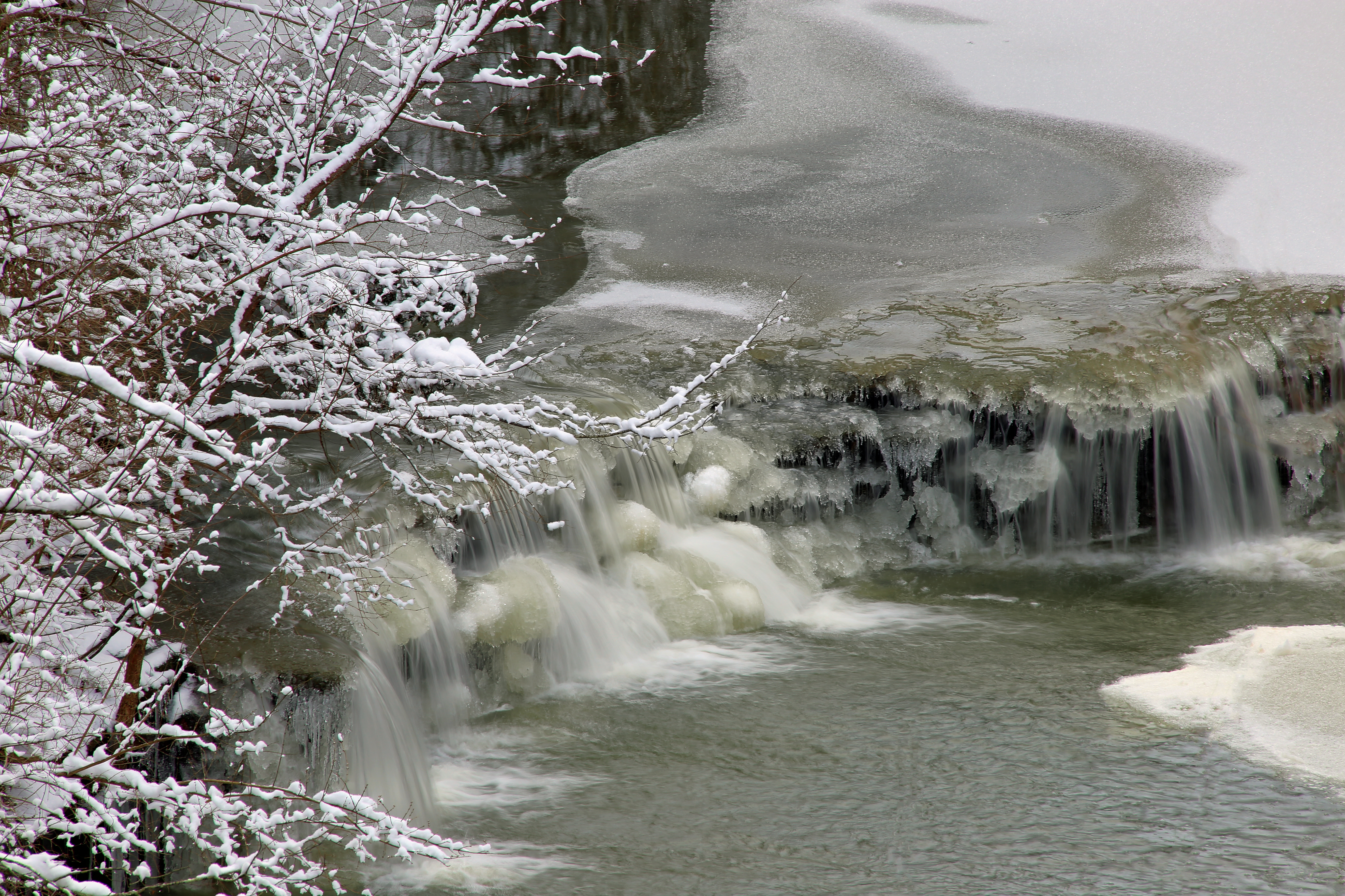
Icy Falls
Topographic Map of Ogden Rd, Wilmington, OH, USA
Find elevation by address:

Places near Ogden Rd, Wilmington, OH, USA:
OH-73, Wilmington, OH, USA
1499 Hiatt Rd
Vernon Township
Meadow Ridge Cir, Wilmington, OH, USA
5124 Oh-350
Clinton County
Clarksville
Wilmington
12 S South St, Wilmington, OH, USA
521 E Locust St
Clinton County
Union Township
9213 Us-22
Wilmington Air Park
Massie Township
Washington Township
25 New Burlington Rd, Wilmington, OH, USA
33 Hiawatha Rd, Wilmington, OH, USA
2211 Jeffery Rd
Olive Branch Road
Recent Searches:
- Elevation of Corso Fratelli Cairoli, 35, Macerata MC, Italy
- Elevation of Tallevast Rd, Sarasota, FL, USA
- Elevation of 4th St E, Sonoma, CA, USA
- Elevation of Black Hollow Rd, Pennsdale, PA, USA
- Elevation of Oakland Ave, Williamsport, PA, USA
- Elevation of Pedrógão Grande, Portugal
- Elevation of Klee Dr, Martinsburg, WV, USA
- Elevation of Via Roma, Pieranica CR, Italy
- Elevation of Tavkvetili Mountain, Georgia
- Elevation of Hartfords Bluff Cir, Mt Pleasant, SC, USA