Elevation of Clinton County, OH, USA
Location: United States > Ohio >
Longitude: -83.847301
Latitude: 39.4067432
Elevation: 325m / 1066feet
Barometric Pressure: 97KPa
Elevation Map:
Satellite Map:
Related Photos:

The Sky turns Pastel

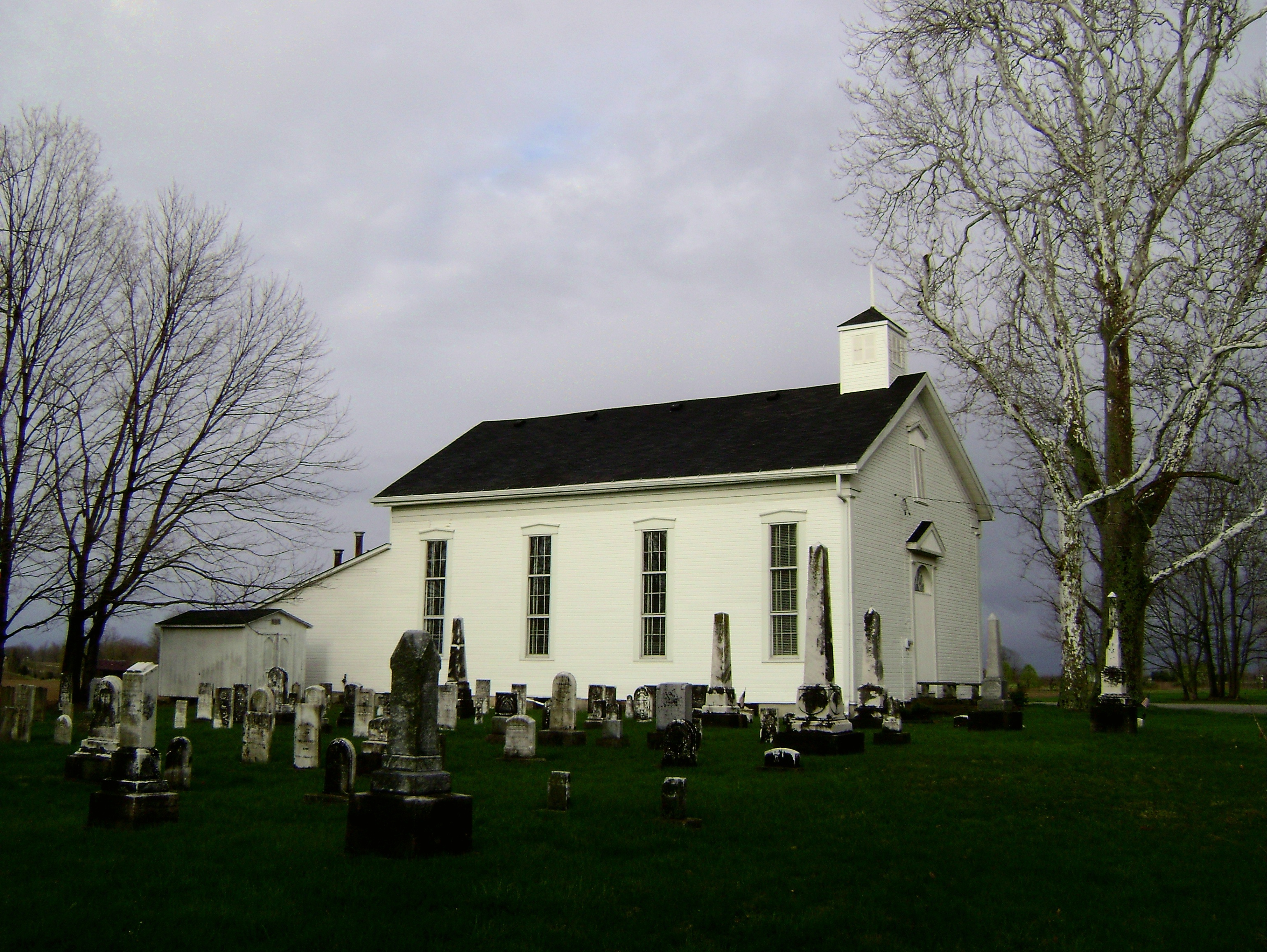
Martinsville, Ohio- Unknown Schoolhouse
South Kingman, Ohio

View in Wilmington

Peggy Hampson

Fred Matthews
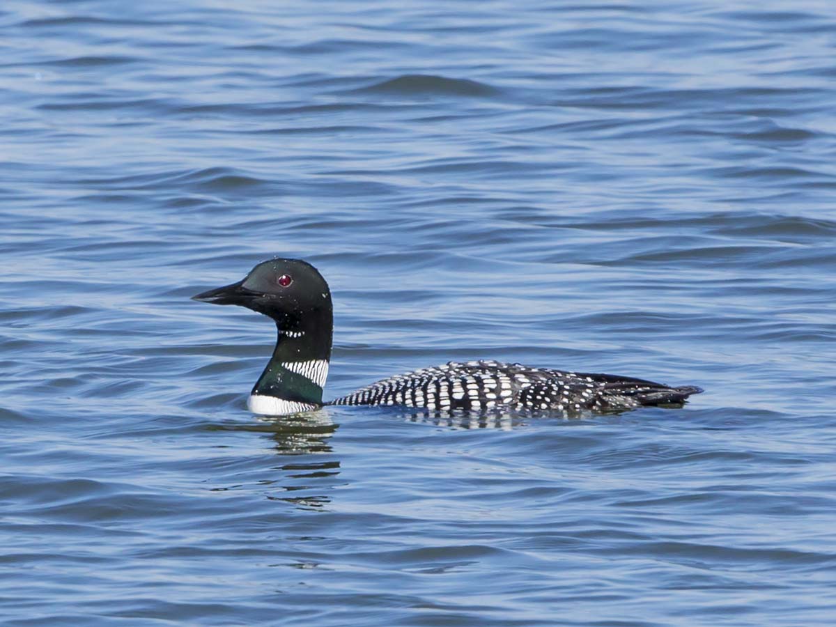
COMMON LOON

WIDOW SKIMMER DRAGONFLY

HORNED GREBE LANDING

NORTHERN FLICKER

PILEATED WOODPECKER

EASTERN PONDHAWKS - MATING WHEEL

GREAT BLUE HERON

COMMON LOON

EASTERN PONDHAWK - DRAGONFLY

COMMON LOON

MALLARDS - 6 IMAGE PANO
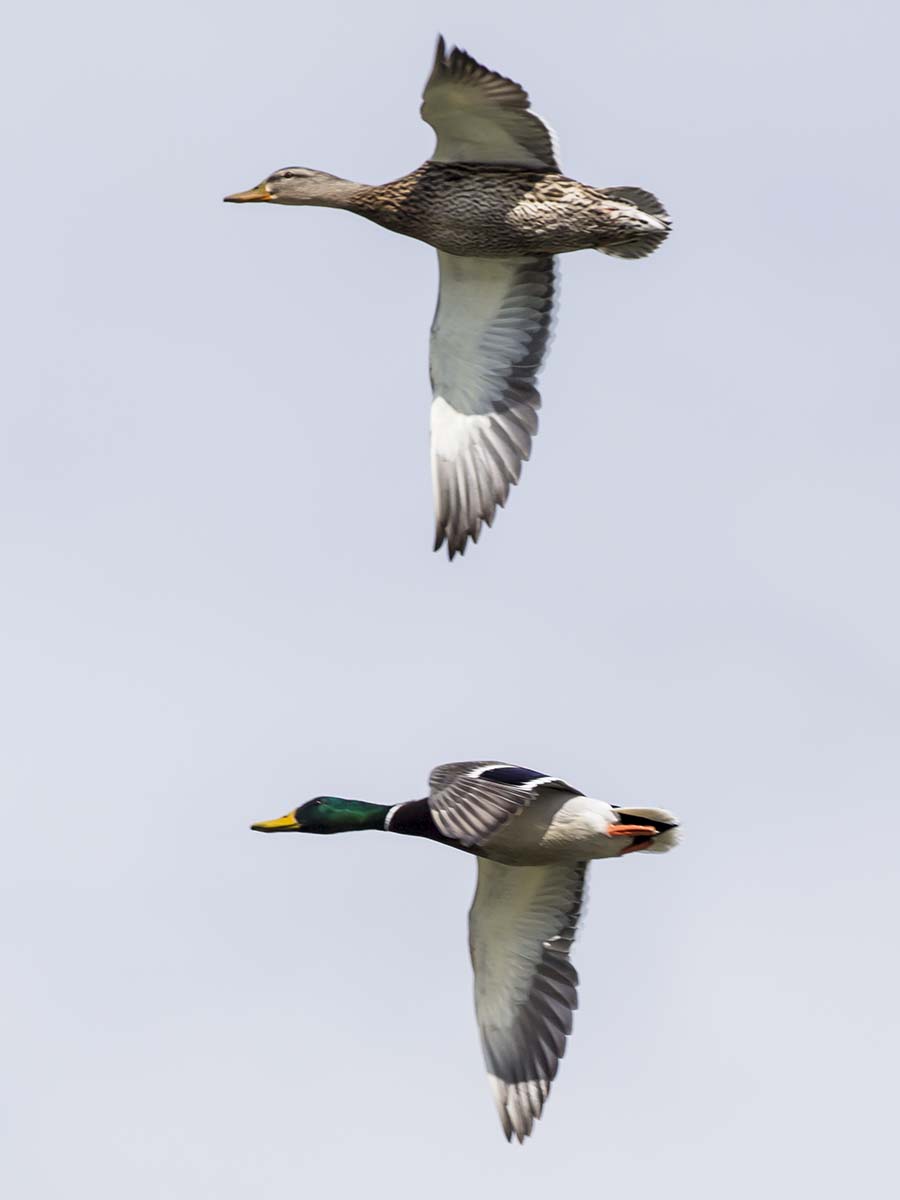
MALLARDS m/fm

BLACK SADDLEBAGS IN FLIGHT

6 IMAGE PANORAMA - LOTUS AT COWAN LAKE

RING-BILLED GULLS on the beach

IMG_8719.JPG

IMG_9297.JPG

IMG_2421.JPG

Xmas Dayton 2005

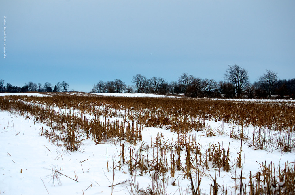
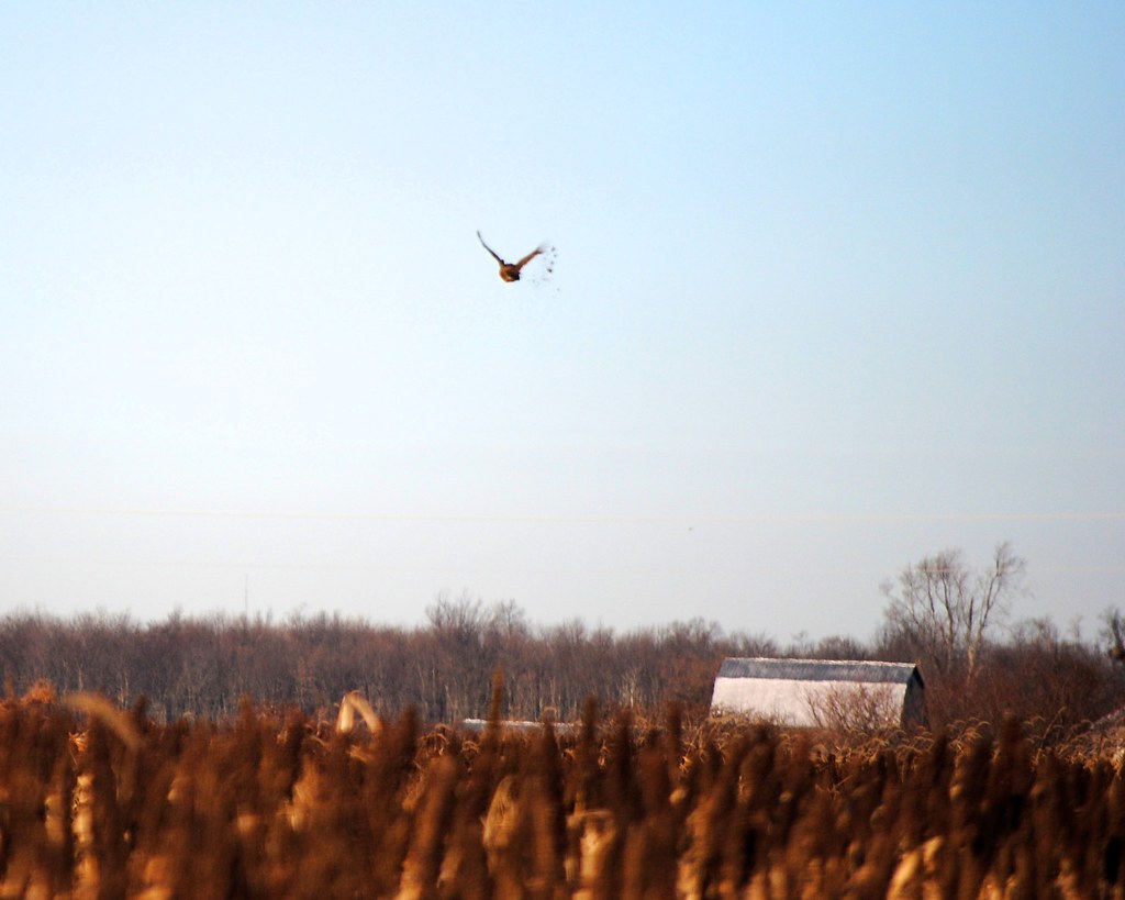
After the Harvest

Jeff taking aim at his first pheasant

Cherry Bend Pheasant Farm - 12/26/11
Cold winter day, a big change from last year's hunt
Feathers flying!

Couldn't ask for a much better day in late December

IMG_4498.JPG

Confusion Fog

The Farm

IMG_2152.JPG

IMG_5820.JPG

Country Roads

Legacy 2011-061

Caterpillar grass

IMG_2436.JPG

IMG_3370.JPG

IMG_5818.JPG
Topographic Map of Clinton County, OH, USA
Find elevation by address:

Places in Clinton County, OH, USA:
Wilmington
Richland Township
Marion Township
Jefferson Township
Marion Township
Marion Township
Marion Township
Wayne Township
Clark Township
Union Township
2nd St, Port William, OH, USA
Clarksville
Washington Township
Vernon Township
Places near Clinton County, OH, USA:
Meadow Ridge Cir, Wilmington, OH, USA
Clinton County
Wilmington
12 S South St, Wilmington, OH, USA
521 E Locust St
Wilmington Air Park
Ogden Rd, Wilmington, OH, USA
Union Township
OH-73, Wilmington, OH, USA
Antioch Rd, Wilmington, OH, USA
Vernon Township
5124 Oh-350
1499 Hiatt Rd
Clarksville
Cherrybend Rd, Wilmington, OH, USA
Melvin Rd, Wilmington, OH, USA
25 New Burlington Rd, Wilmington, OH, USA
2nd St, Port William, OH, USA
Paintersville New Jasper Rd, Jamestown, OH, USA
9213 Us-22
Recent Searches:
- Elevation of Corso Fratelli Cairoli, 35, Macerata MC, Italy
- Elevation of Tallevast Rd, Sarasota, FL, USA
- Elevation of 4th St E, Sonoma, CA, USA
- Elevation of Black Hollow Rd, Pennsdale, PA, USA
- Elevation of Oakland Ave, Williamsport, PA, USA
- Elevation of Pedrógão Grande, Portugal
- Elevation of Klee Dr, Martinsburg, WV, USA
- Elevation of Via Roma, Pieranica CR, Italy
- Elevation of Tavkvetili Mountain, Georgia
- Elevation of Hartfords Bluff Cir, Mt Pleasant, SC, USA