Elevation of Paintersville New Jasper Rd, Jamestown, OH, USA
Location: United States > Ohio > Greene County >

Longitude: -83.819722

Latitude: 39.5856308

Elevation: 311m / 1020feet

Barometric Pressure: 98KPa

Elevation Map:

elevation map of Paintersville New Jasper Rd, Jamestown, OH, USA
Satellite Map:

Satellite map of Paintersville New Jasper Rd, Jamestown, OH, USA

Related Photos:

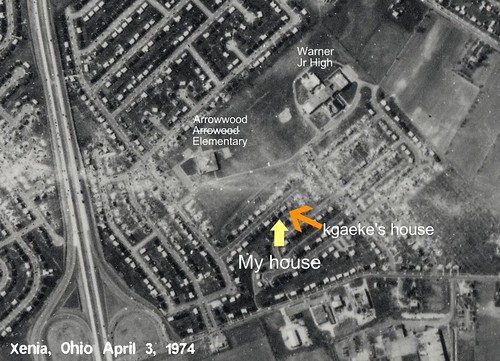
ohio 1974 path aerial warner xenia screencapture tornado arrowhead arrowwood kgaeke dcbprime
Path of Destruction
ohio killdeer greatblueheron greategret ardeaherodias ardeaalba spottedsandpiper bluewingedteal charadriusvociferus anasdiscors caesarcreekstatepark harveysburg actitismacularius moundroadmudflat
MOUND ROAD MUDFLAT - DUCKS, SHOREBIRDS, & WADERS
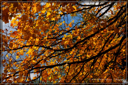
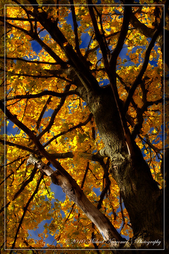
autumn fall fallfoliage foliage orton cobalt
Squirrels View
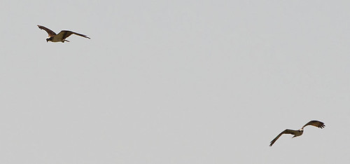
ohio flight osprey pandionhaliaetus caesarcreekstatepark harveysburg hainesroad
OSPREYS off HAINES RD BOAT RAMP
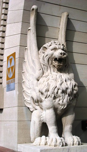
ohio statue courthouse xenia falloutshelter greenecounty xeniaohio countycourthouse usccohgreene
Detail of Greene County Courthouse IMG_3779
ohio bicycle canon trains xenia railstotrails railroads rebelt3i
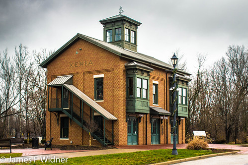
Xenia Station alternate view
ohio heron greatblueheron caesarcreekstatepark harveysburg
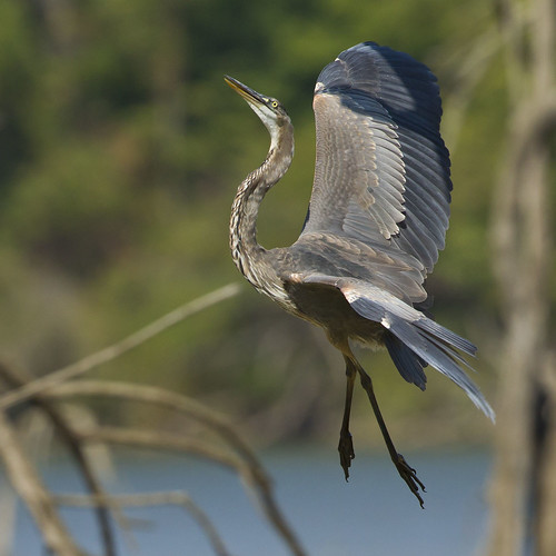
GREAT BLUE HERON
windows ohio red urban brick broken allison factory empty xenia exploration hooven abandoend
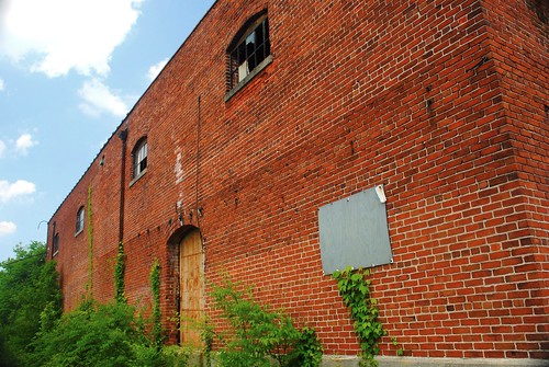
Brick Fortress
ohio leastsandpiper calidrisminutilla caesarcreekstatepark harveysburg moundroadmudflat
LEAST SANDPIPERS - LANDING
ohio greatblueheron mudflat ardeaherodias moundroad caesarcreekstatepark harveysburg
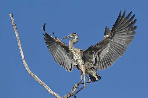
GREAT BLUE HERON
Whole view
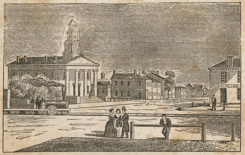
ohio xenia 1840s greenecounty ohioartthrough1865
View in Xenia
Back Door View
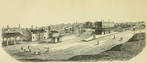
ohio print xenia 1850s greenecounty ohioartthrough1865 citylevelgeotagging
View of Xenia
greenecountypubliclibrary xeniahometownchristmas
Back View
greenecountypubliclibrary xeniahometownchristmas
Xenia Hometown Christmas Display
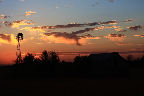
sunset ohio sky windmill clouds barn
The Sky turns Pastel
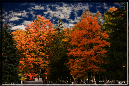
flowers autumn fall cemetery woodland places fallfoliage foliage orton cobalt
Squirrels View
autumn fall fallfoliage foliage orton cobalt
Cemetery View
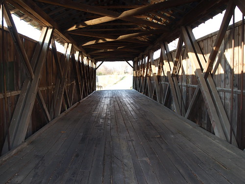
ohio greenecounty ohiocoveredbridge ballardroad
Ballard Road Covered Bridge barrel view, Greene County, OH
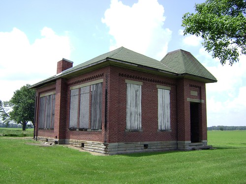
county school ohio house brick abandoned rural one decay clinton room forgotten bloomington schoolhouse woodside 1913
Bloomington, Ohio- Woodside Schoolhouse
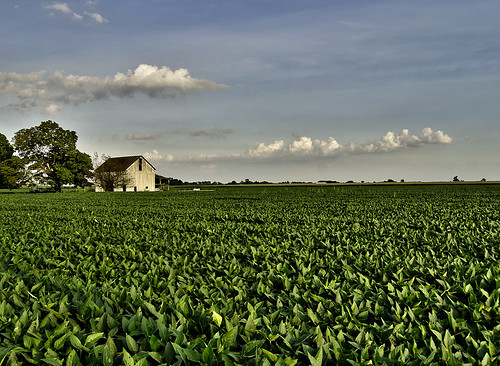
ohio sky field clouds corn grow bean crops agriculture flickrcentral hdr abigfave esmithiii esmithiii2003
The Barn and field-HDR
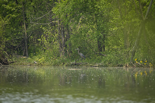
ohio greatblueheron ardeaherodias caesarcreekstatepark harveysburg
GREAT BLUE HERON at the MUDFLAT
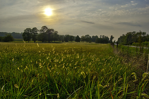
sky sun field grass fence meadow caterpillar esmithiii esmithiii2003 caterpillargrass
Caterpillar grass
Xenia Sunset 2
Xmas Dayton 2005
ohio library xenia publiclibrary carnegielibrary
Carnegie Library, Xenia, OH
ohio sky sun field esmithiii esmithiii2003
A sullen sun
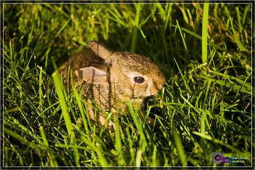
Baby Bunny
sunset sky sunrise landscape redsky
Tuesday Sunset 2
winter sun weather farm cincinnati cincy cincinnatiweather
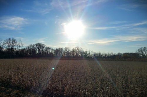
Sun Over Farm
sunset orange weather landscape
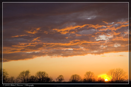
Xenia Sunset
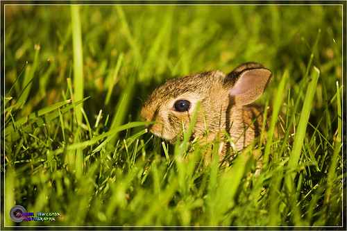
Baby Bunny
sunset sky sunrise landscape redsky
Tuesday Sunset 3
sunset ohio corn farm silo filds
After the Harvest
sunset sky sunrise landscape redsky
Tuesday Sunset 1
ohio caesarcreekstatepark harveysburg moundroadmudflat
CAESAR CREEK STATE PARK - MOUND ROAD MUDFLAT
ohio butterfly silverspottedskipper moundroad caesarcreekstatepark harveysburg
SILVER-SPOTTED SKIPPER
county new bridge ohio history abandoned burlington ghost greene towns
Grenne County - New Burlington, OH
ohio mudflat moundroad caesarcreekstatepark
MOUND ROAD MUDFLAT
trees sun water clouds sunrise bench dock nikon ducks oh shawneelake jamestown geotaggedohio nikond5100 kkfrombb
Shawnee Lake Sunrise 01
cameraphone usa roadtrip rolandtanglaophoto nokia808 roadtrip2013 nokia808photo
2013-08-10 roadtrip day 1