Elevation of Jamestown, OH, USA

Location: United States > Ohio > Greene County > Silvercreek Township >

Longitude: -83.734923

Latitude: 39.6581163

Elevation: 323m / 1060feet

Barometric Pressure: 98KPa

Elevation Map:

elevation map of Jamestown, OH, USA

Satellite Map:

Satellite map of Jamestown, OH, USA

Related Photos:

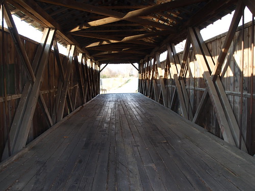
ohio greenecounty ohiocoveredbridge ballardroad
Ballard Road Covered Bridge barrel view, Greene County, OH
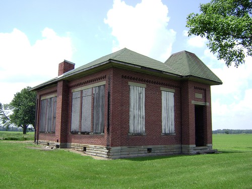
county school ohio house brick abandoned rural one decay clinton room forgotten bloomington schoolhouse woodside 1913
Bloomington, Ohio- Woodside Schoolhouse
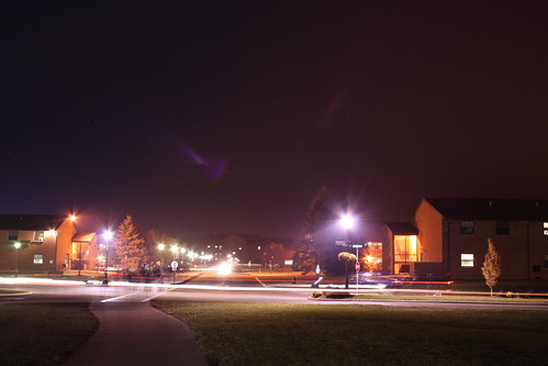
street ohio people cars night canon long exposure university cedarville xti 400d
After hours
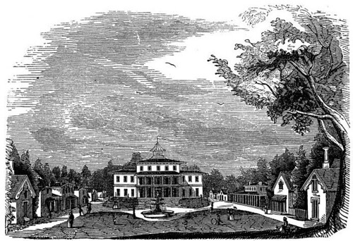
ohio print xenia 1850s greenecounty ohioartthrough1865
View of Tawawa Springs
county ohio house abandoned farmhouse rural decay farm forgotten fayette milledgeville
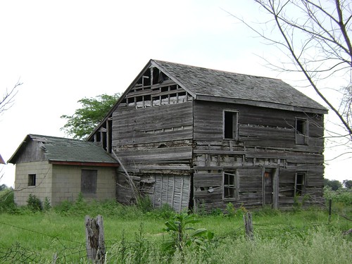
Milledgeville, Ohio
wedding ohio
The reception
ohio sky field clouds corn grow bean crops agriculture flickrcentral hdr abigfave esmithiii esmithiii2003
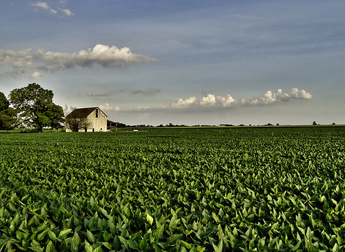
The Barn and field-HDR
sunset ohio clouds farm farmland rays dailyville ohiofoothills binglandfarms
day is done
ohio field corn unitedstates oh greene jamestown greenecounty apt12 grapegrove paullinrdgrapegroveohiounitedstates
Corn Field
square squareformat amaro iphoneography instagramapp uploaded:by=instagram
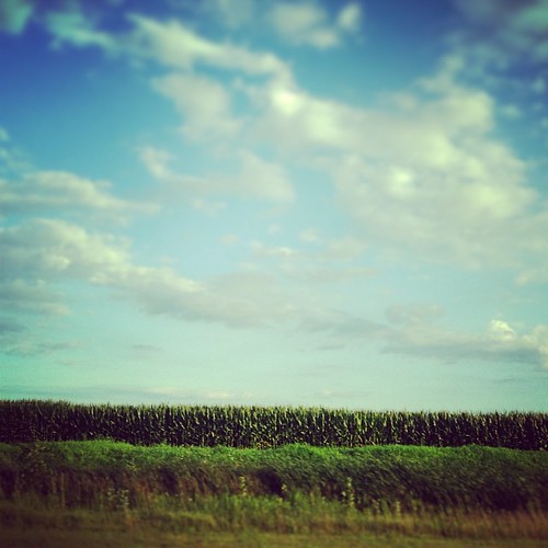
Driving home after fun day at Kings Island. Corn corn and more corn #Ohio #country #evening #vacation #funday #kingsisland
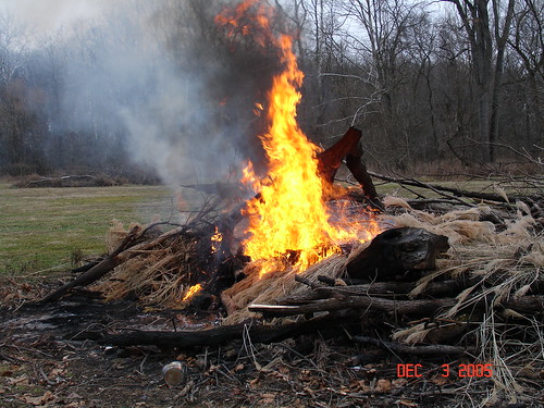
Xmas Dayton 2005
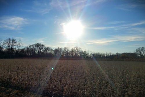
winter sun weather farm cincinnati cincy cincinnatiweather
Sun Over Farm
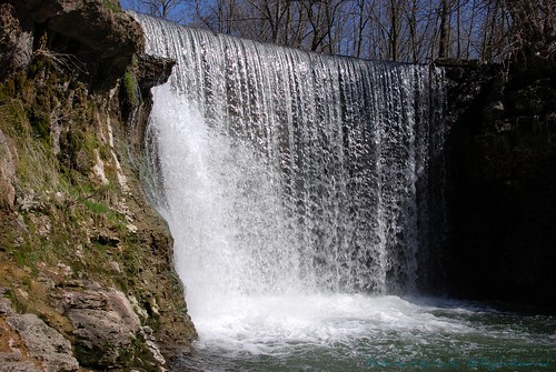
ohio nature beautiful waterfall nikon falls cedarville greenecounty blueribbonwinner tamron28300 d80 ruralohio nikond80 impressedbeauty geotaggedohio cedarclifffalls usrt42
Cedar Cliff Falls
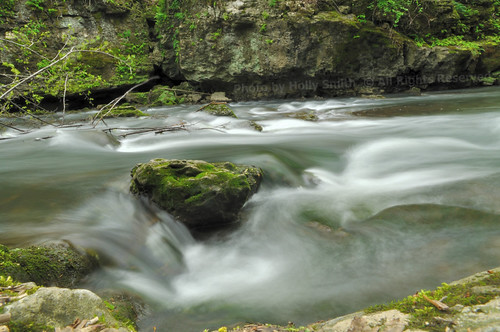
longexposure ohio nature beautiful nikon cedarville greenecounty flowingwater d90 cedarvilleoh tamron1750f28 nikond90 geotaggedohio cedarclifffalls usrt42 hollyannsmith photobyhollyannsmith massiecreekgorge massiecreek
Flowing Water
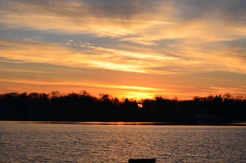
trees sun water clouds sunrise nikon oh shawneelake jamestown geotaggedohio nikond5100 kkfrombb
Shawnee Lake Sunrise 08
ohio nature water waterfall nikon falls cedarville greenecounty d90 blueribbonwinner cedarvilleoh tamron1750f28 nikond90 geotaggedohio cedarclifffalls usrt42 hollyannsmith photobyhollyannsmith massiecreek
Cedar Cliff Falls
ohio creek waterfall cedarville massies
Lower Falls on Massies Creek
blue sunset sky orange clouds contrast cedarville
taking it all in.
trees sun heron water clouds sunrise nikon oh shawneelake jamestown geotaggedohio nikond5100 kkfrombb
Shawnee Lake Sunrise 03
ohio mill water creek waterfall cedarville cedarfalls greenecounty cedarcliff cedarvilleohio
Cedar Cliff Falls
trees sun water clouds sunrise nikon oh shawneelake jamestown geotaggedohio nikond5100 kkfrombb
Shawnee Lake Sunrise 02
trees sun water clouds sunrise nikon oh shawneelake jamestown geotaggedohio nikond5100 kkfrombb
Shawnee Lake Sunrise 05
Cedar Cliff Falls 2007 0210 (07)
ohio lake night university cedarville
Cedarville lake
trees sun water clouds sunrise dock nikon oh shawneelake 1000 jamestown geotaggedohio nikond5100 kkfrombb
Shawnee Lake Sunrise 09
ybike
Blue Steel took a picture!
ohio summer nature creek canon outdoors rebel waterfall 2008 cedarcliffwaterfall craigsorenson
Cedar Cliff Waterfall