Elevation of Wilmington Air Park, Airport Rd, Wilmington, OH, USA

Location: United States > Ohio > Clinton County > Wilmington >

Longitude: -83.785670

Latitude: 39.4319998

Elevation: 325m / 1066feet

Barometric Pressure: 97KPa

Elevation Map:

elevation map of Wilmington Air Park, Airport Rd, Wilmington, OH, USA

Satellite Map:

Satellite map of Wilmington Air Park, Airport Rd, Wilmington, OH, USA

Related Photos:

clarksville greatblueheron ohio birds cowanlake clintoncounty
GREAT BLUE HERON
shorebird clarksville ringbilledgull greategret ohio birds cowanlake waterfowl clintoncounty
GREAT EGRETS and ....
clarksville clintoncounty ringbilledgull fish ohio birds cowanlake doublecrestedcormorant wilmington unitedstatesofamerica
CORMORANTS & GULLS DIVING FOR FISH
clarksville greatblueheron ohio birds cowanlake clintoncounty
GREAT BLUE HERON
pano1 canadagoose brantacanadensis snowgoose chencaerulescens clarksville ohio cowanlake clintoncounty
CANADA GEESE AT THE ISLAND 12162016
ohio clarksville commonloon gaviaimmer
COMMON LOON
ohio clarksville commonloon gaviaimmer cowanlake
COMMON LOON
wilmington ohio oh wilmingtonairpark clintoncounty jet jets cargo cargoairline cargoairlines freight freighter airtransportinternational ati atn n752cx boeing757 b757 boeing757200 b752 flight flying aviation aviationphotography planespotting plane planes airplane airplanes aircraft avion aviao flugzeug walmart retail retailer store shop shopping approach landing finalapproach landinggear clouds sky skies aeroplane aero samolet 飞机 самалёт 飛行機 самолет lentokone 7572g5pcc combi 757combi boeing7572g5pcc
My kind of Walmart
pano2 cowanlake clarksville ohio clintoncounty
Cowan Lake, East end, 5 image pano 12162016
ohio clarksville bonapartesgull cowanlake chroicocephalusphiladelphia
BONAPARTE'S GULL
healthcare 45177 wilmingtonoh clintoncountyoh warrencountyoh empathysurplusproject
Peggy Hampson
healthcare democratic 45177 wilmingtonoh clintoncountyoh empathysurplusproject unionnorthb
Fred Matthews
ohio clarksville hornedgrebe podicepsauritus cowanlake
HORNED GREBE
ohio mallard clarksville anasplatyrhynchos cowanlake
MALLARDS m/fm
ohio juvenile clarksville redshoulderedhawk buteolineatus cowanlake
RED-SHOULDERED HAWK
ohio clarksville redbreastedmerganser mergusserrator cowanlake
RED-BREASTED MERGANSER - FEMALE
ohio clarksville hornedgrebe podicepsauritus cowanlake
HORNED GREBE
ohio clarksville hornedgrebe podicepsauritus cowanlake
HORNED GREBE
county school ohio house brick abandoned rural one decay clinton room forgotten bloomington schoolhouse woodside 1913
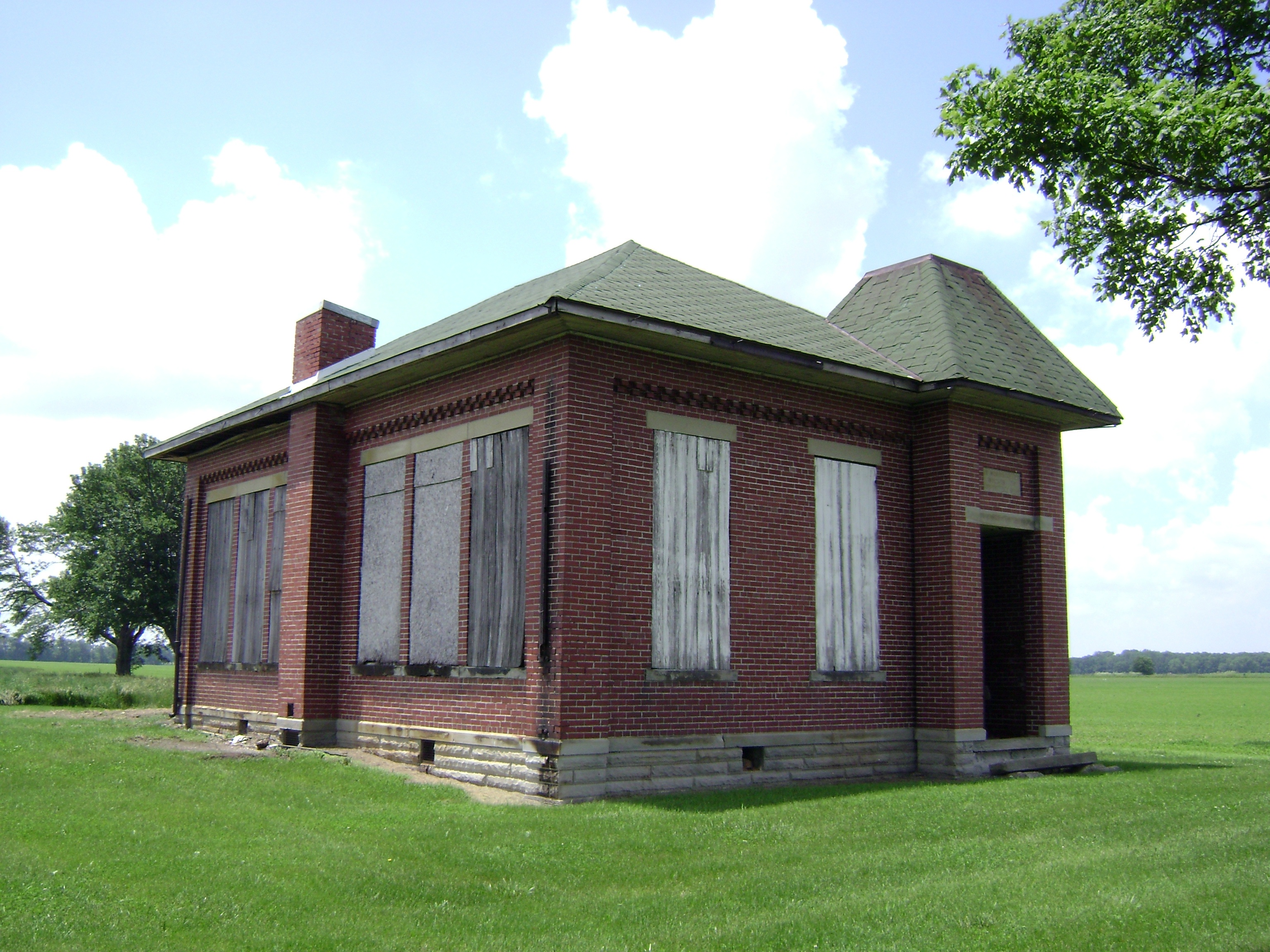
Bloomington, Ohio- Woodside Schoolhouse
county school ohio house brick abandoned rural one decay clinton room forgotten schoolhouse martinsville
Martinsville, Ohio- Unknown Schoolhouse
ohio clarksville dryocopuspileatus pileatedwoodpecker cowanlake
PILEATED WOODPECKER
iphoneedit handyphoto jamiesmed app snapseed sony a200 landscape summer september rural ohio dslr alpha midwest 2012 photography facebook tumblr clintoncounty geotag geotagged country sports sport
IMG_3773.JPG
wilmington ohio oh wilmingtonohio clintonfieldairport clintonfield i66 airport airports airplane airplanes generalaviation aviation aviationphotography planespotting prop propeller props flight flying avion aviao flugzeug cessna cessnaaircraft cessnaskylark cessna175skylark 175skylark 175 skylark n9372b c175 farm landscape tower parked tiedown ramp grass
175 Skylark N9372B at I66
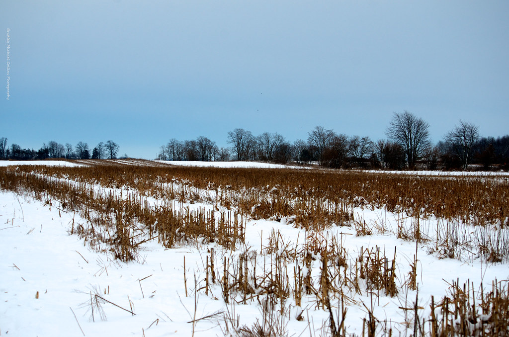
ohio food rural landscape landscapes farm farming crop oh farms crops farmer wilmington agriculture breadbasket farmcountry foodproduction ruralohio
Ohio Farm Country
farmland fog sunrise wilmington ohio unitedstates us uniontownship field landscape scenic pleasant trees stubble mist clintoncounty
Farmland — Union Township, Clinton County, Ohio
farmland fog wilmington ohio unitedstates us sunrise uniontownship field landscape scenic pleasant trees stubble mist clintoncounty
Farmland — Union Township, Clinton County, Ohio
ohio plants rural landscape landscapes farm farming crop oh sorghum crops wilmington agriculture ruralohio 2b6 hollisterfield cherrybendfarm
Fields of Sorghum
ohio fall rural evening flying airport flight oh blueskies wilmington airports flughafen aeropuerto runway taxiway i66 clintoncounty runways ruralohio clintonfield ohioairports clintonfieldairport
Looking Northeast
square gingham squareformat iphoneography instagramapp uploaded:by=instagram
Trying a new course out today, weather is perfect
clarksville clintoncounty cowanlake ohio osprey doublecrestedcormorant
DOUBLE-CRESTED CORMORANTS-09183548.jpg
rosssgoose cowanlake clarksville ohio canadagoose americancoot clintoncounty
ROSS'S GOOSE
ohio sky field clouds corn grow bean crops agriculture flickrcentral hdr abigfave esmithiii esmithiii2003
The Barn and field-HDR
iphoneedit handyphoto jamiesmed app snapseed sony a200 landscape september rural ohio dslr alpha vsco midwest vscocam 2012 seton photography summer clintoncounty geotag geotagged fauxvintage country facebook sports sport
IMG_3775.JPG
mygearandme mygearandmepremium
The Farm
app handyphoto iphoneedit snapseed jamiesmed sony a200 landscape summer september ohio rural alpha dslr vsco blackandwhite bw blackwhite midwest vscocam 2012 photography facebook tumblr clintoncounty geotagged geotag fauxvintage country sports sport
IMG_3774.JPG
trees ohio sky cloud motion night clouds canon dark stars star big long exposure nightscape north nighttime wilmington constellation bigdipper dipper hollon
The Big Dipper
bird pheasant englishpointer hunting birdhunting birddogs pheasanthunting cherrybend
Jeff taking aim at his first pheasant
sunset ohio corn farm silo filds
After the Harvest
nikon pheasant hunting birdhunting pheasanthunting cherrybend nikond7000
Cold winter day, a big change from last year's hunt
sunset ohio plane landscape evening flying airport aviation hangar flight planes oh wilmington airports flughafen aeropuerto runway evenings controltower taxiway hangars taxiways iln runways aviationphotography airborneairpark wilmingtonairpark clintoncountyafb
Wilmington Air Park
pheasant birddogs pheasanthunting cherrybend
Cherry Bend Pheasant Farm - 12/26/11
pheasant birddogs pheasanthunting cherrybend
Feathers flying!