Elevation of 33 Hiawatha Rd, Wilmington, OH, USA
Location: United States > Ohio > Clinton County > Wilmington >

Longitude: -83.965845

Latitude: 39.561911

Elevation: 277m / 909feet

Barometric Pressure: 98KPa

Elevation Map:

elevation map of 33 Hiawatha Rd, Wilmington, OH, USA
Satellite Map:

Satellite map of 33 Hiawatha Rd, Wilmington, OH, USA
Related Photos:

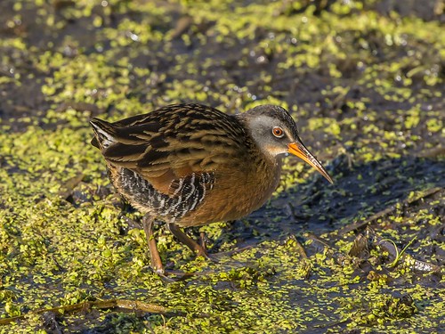
ohio rail virginiarail waynesville ralluslimicola springvalleywildlife
VIRGINIA RAIL
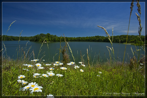
lake pond wideangle wildflowers prairie hdr caesarcreek
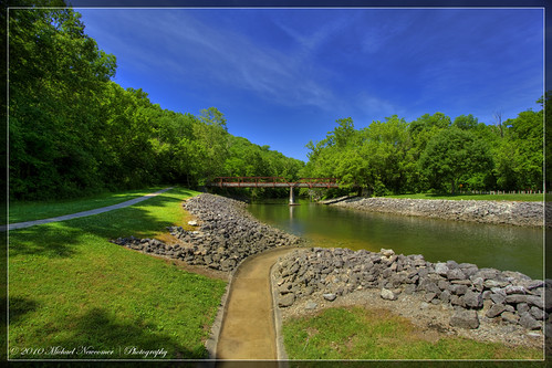
Caesar Creek Lake View
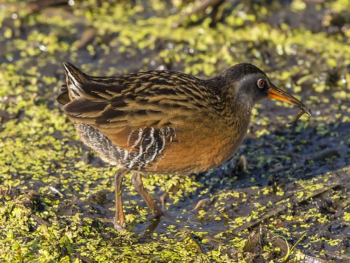
ohio prey virginiarail waynesville ralluslimicola springvalleywildlife
VIRGINIA RAIL with PREY
lake pond wideangle wildflowers prairie hdr caesarcreek
Caesar Creek Lake View
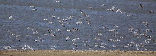
ohio herringgull ringbilledgull harveysburg
LOOKING FOR A CALIFORNIA -- LARGER GULLS OFF HARVEYSBURG RD on MARCH 26th
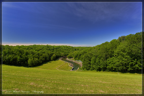
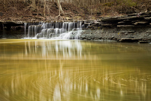
creek pond dam prairie hdr spillway caesarcreek
Caesar Creek Spillway View
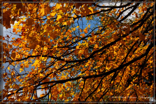
flowers autumn fall cemetery woodland places fallfoliage foliage orton cobalt
Squirrels View
ohio dragonfly waynesville bluedasher springvalleywildlife
BLUE DASHER
creek pond dam hdr spillway caesarcreek
Caesar Creek Spillway View
lake pond wideangle wildflowers prairie hdr caesarcreek
Caesar Creek Lake View
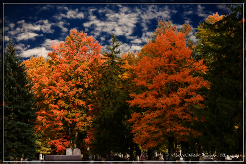
autumn fall fallfoliage foliage orton cobalt
Cemetery View
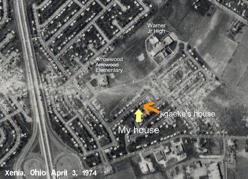
ohio 1974 path aerial warner xenia screencapture tornado arrowhead arrowwood kgaeke dcbprime
Path of Destruction
ohio killdeer greatblueheron greategret ardeaherodias ardeaalba spottedsandpiper bluewingedteal charadriusvociferus anasdiscors caesarcreekstatepark harveysburg actitismacularius moundroadmudflat
MOUND ROAD MUDFLAT - DUCKS, SHOREBIRDS, & WADERS
autumn fall fallfoliage foliage orton cobalt
Squirrels View
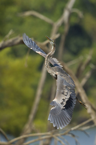
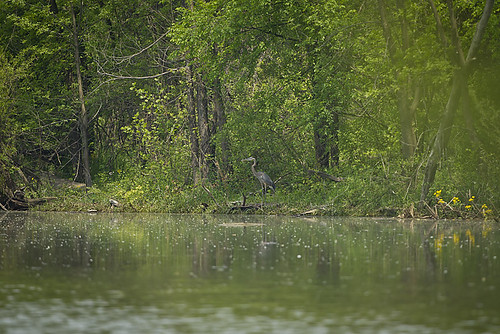
ohio greatblueheron caesarcreekstatepark
GREAT BLUE HERON
ohio virginiarail waynesville ralluslimicola springvalleywildlife
VIRGINIA RAIL
creek pond dam spillway caesarcreek hdrbridge
Caesar Creek Spillway View
ohio bicycle canon trains xenia railstotrails railroads rebelt3i
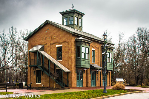
Xenia Station alternate view
ohio flight osprey pandionhaliaetus caesarcreekstatepark harveysburg hainesroad
OSPREYS off HAINES RD BOAT RAMP
ohio statue courthouse xenia falloutshelter greenecounty xeniaohio countycourthouse usccohgreene
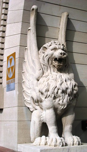
Detail of Greene County Courthouse IMG_3779
ohio larusargentatus herringgull ringbilledgull larusdelawarensis caesarcreekstatepark harveysburg harveysburgroad
GULLS OFF HARVEYSBURG ROAD at CAESAR CREEK STATE PARK
HorseShoe Falls
2011-07-03 at 06-03-37
ohio 1212 caesarcreek ceasarcreekstatepark radarbrat 5dm2
Horseshoe Falls
2011-05-07 at 09-30-14
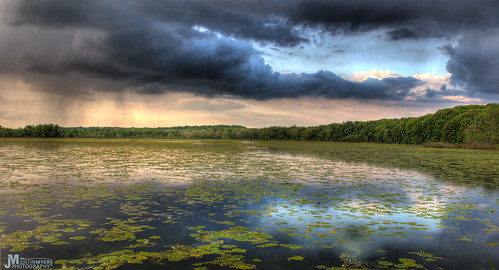
park sunset storm nature rain clouds america creek landscape state wildlife parks caesar wetlands marsh lilypads beautifulsunset amazingsunset beautifullandscapes americanlandscape
Stormy Marsh
2011-05-07 at 08-44-00
2011-07-03 at 07-27-46
ohio greatblueheron ardeaherodias caesarcreekstatepark harveysburg
GREAT BLUE HERON at the MUDFLAT
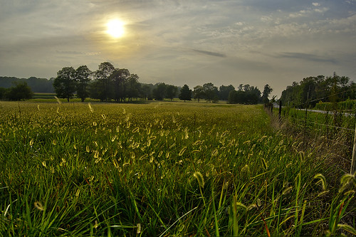
sky sun field grass fence meadow caterpillar esmithiii esmithiii2003 caterpillargrass
Caterpillar grass
square squareformat iphoneography instagramapp xproii uploaded:by=instagram
Pic doesn't quite catch how pretty tonight's sunset was...
Caesar's Creek Trail
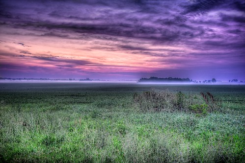
pink november ohio sky night sunrise purple contestwinner bellbrook impublished geotaggedohio washingtonmillpark kkfrombb
Washington Mill Park Sunrise - 2
Xenia Sunset 2
Xmas Dayton 2005
Forest sunset
autumn landscape waterfall tahquamenon
Upper Tahquamenon Falls
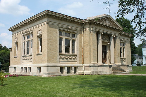
ohio library xenia publiclibrary carnegielibrary
Carnegie Library, Xenia, OH
autumn ohio fall nature nikon october colorful hike trail 2014 sugarcreekmetropark nikond5100 kkfrombb
Grass Blowing in the Wind
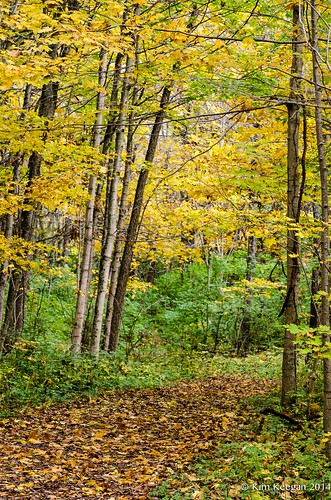
autumn ohio fall nature nikon october colorful hiking trail 2014 sugarcreekmetropark nikond5100 kkfrombb
Orange Trail - Color Zones
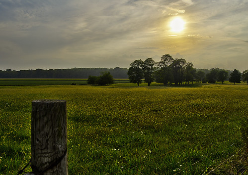
ohio sky sun field esmithiii esmithiii2003
A sullen sun
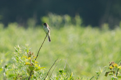
bird easternwoodpewee 2011 caesercreek
Eastern Wood Pewee