Elevation of Massie Township, OH, USA
Location: United States > Ohio > Warren County >
Longitude: -84.027316
Latitude: 39.4883563
Elevation: 280m / 919feet
Barometric Pressure: 98KPa
Elevation Map:
Satellite Map:
Related Photos:

Parachute deployment

VIRGINIA RAIL

VIRGINIA RAIL with PREY
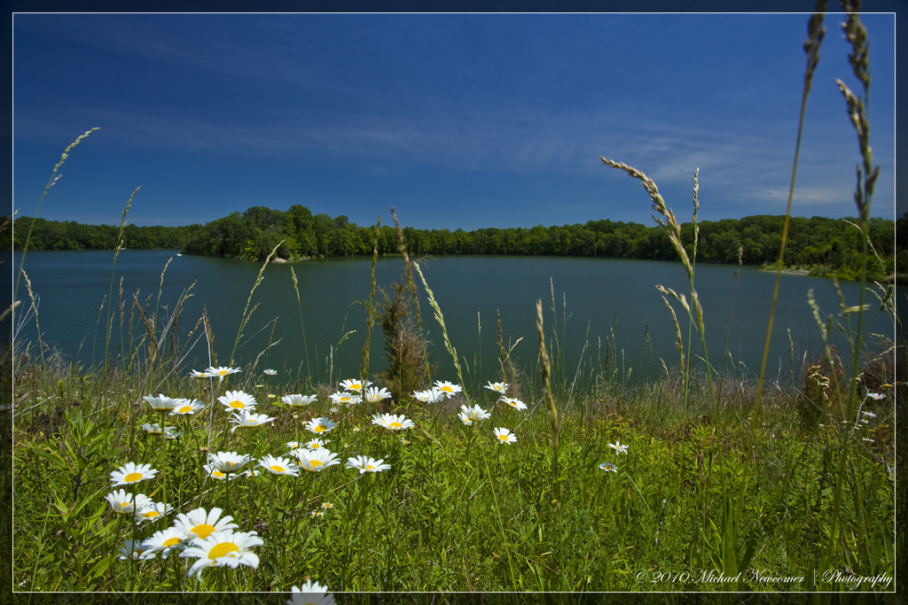
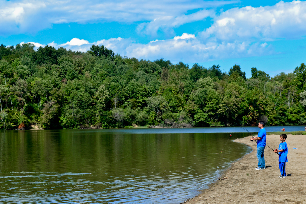
Caesar Creek Lake View
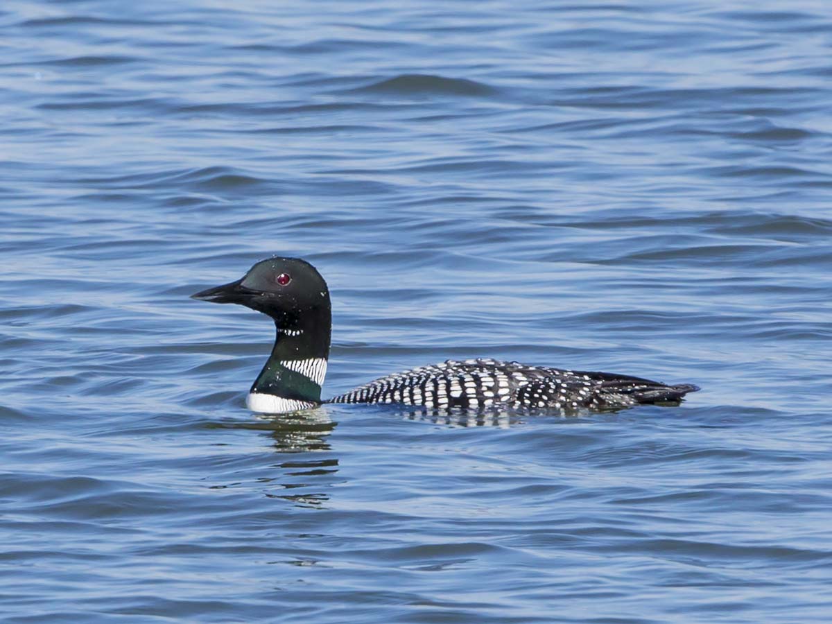
COMMON LOON

LOOKING FOR A CALIFORNIA -- LARGER GULLS OFF HARVEYSBURG RD on MARCH 26th
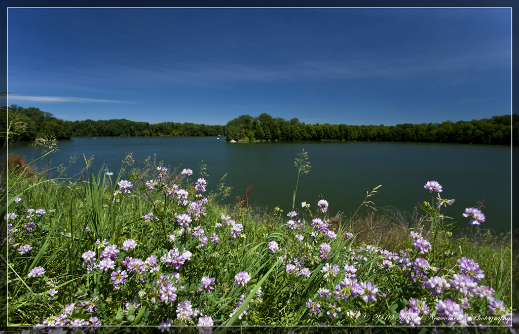
Caesar Creek Lake View
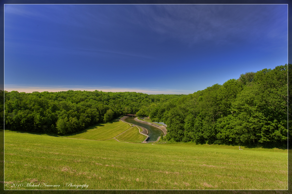
Caesar Creek Spillway View

HORNED GREBE LANDING

BONAPARTE'S GULL

Caesar Creek Spillway View

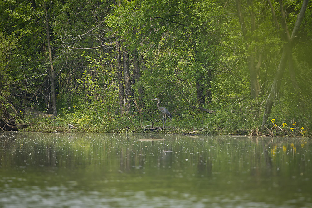
GREAT BLUE HERON

BLUE DASHER

VIRGINIA RAIL
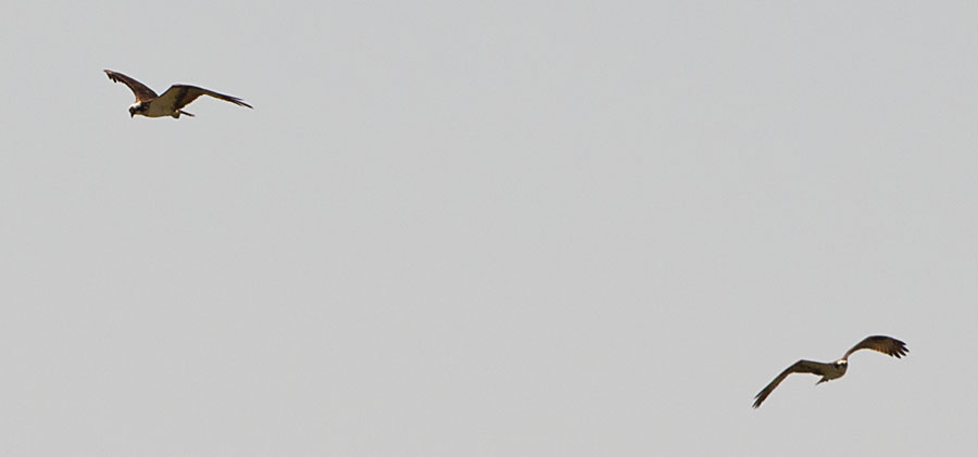
OSPREYS off HAINES RD BOAT RAMP
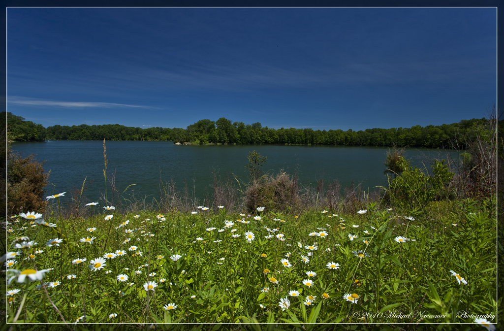
Caesar Creek Lake View

COMMON LOON
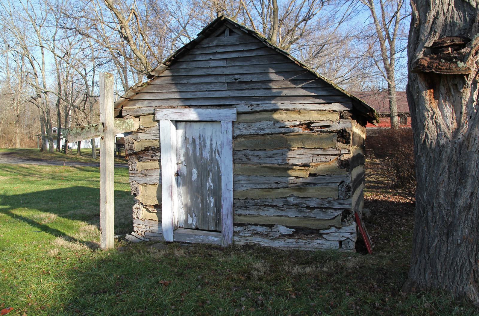
Elam Smokehouse — Caesar's Creek Pioneer Village, Harveysburg, OH

MOUND ROAD MUDFLAT - DUCKS, SHOREBIRDS, & WADERS

Caesar Creek Spillway View

MALLARDS - 6 IMAGE PANO
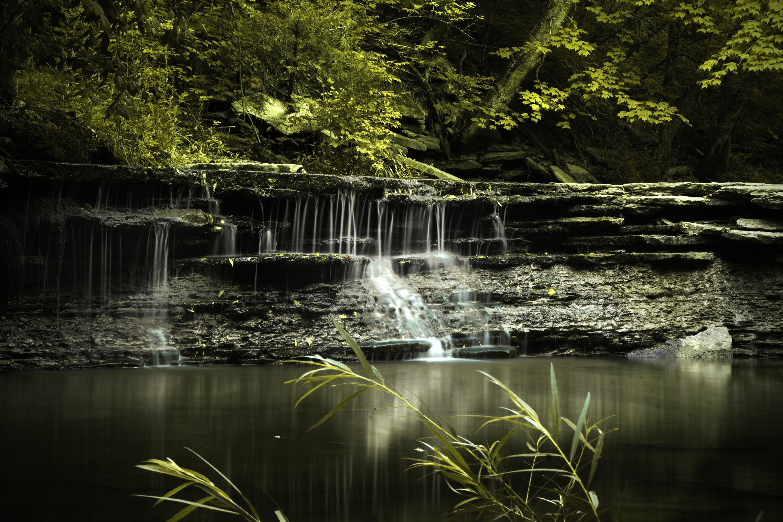
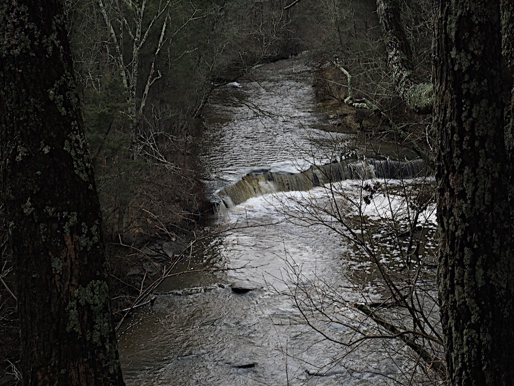
HorseShoe Falls

Horseshoe Falls
2011-05-07 at 09-30-14
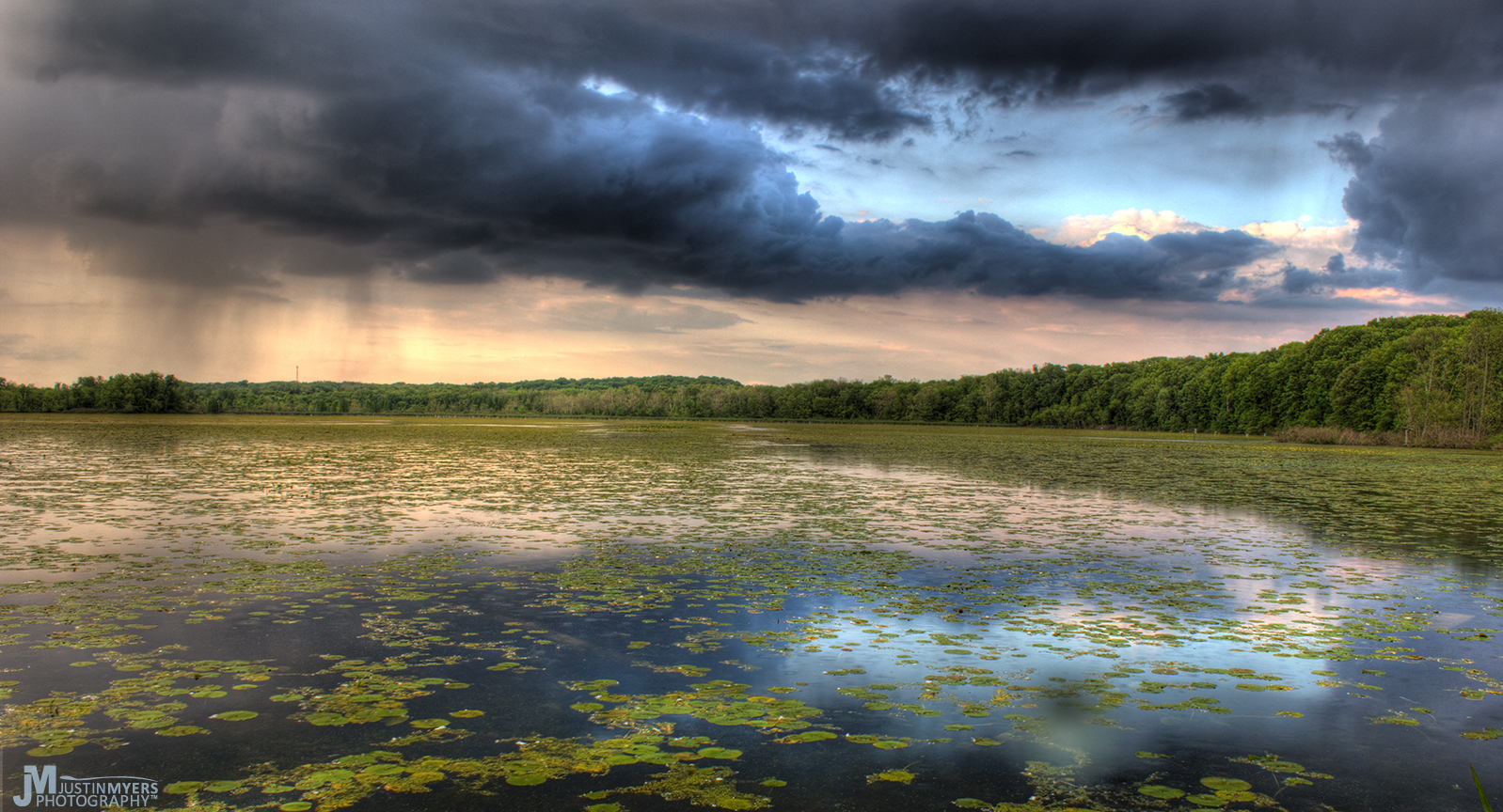
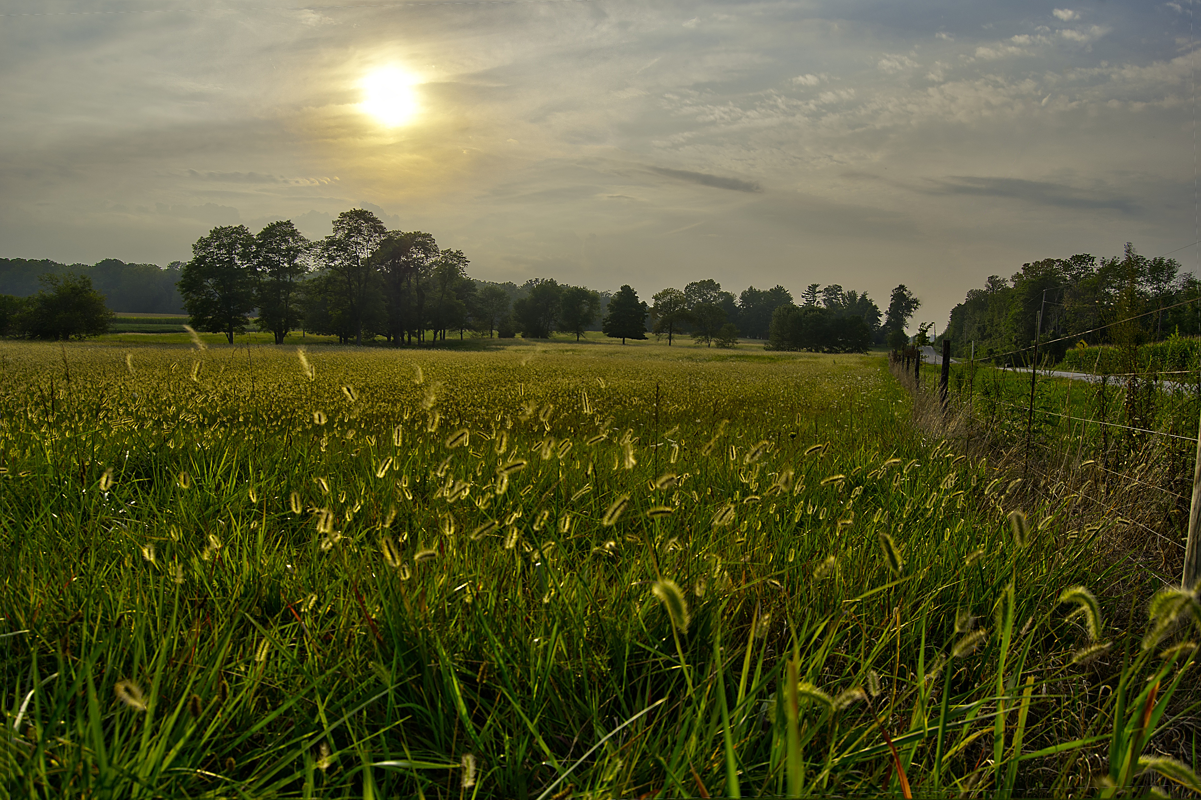
Stormy Marsh

2011-05-07 at 08-44-00

2011-07-03 at 07-27-46
Legacy 2011-061

2011-07-03 at 06-27-50
Nature...we meet again
GREAT BLUE HERON at the MUDFLAT

cast my worries to the sky
Caterpillar grass
Caesar's Creek Trail

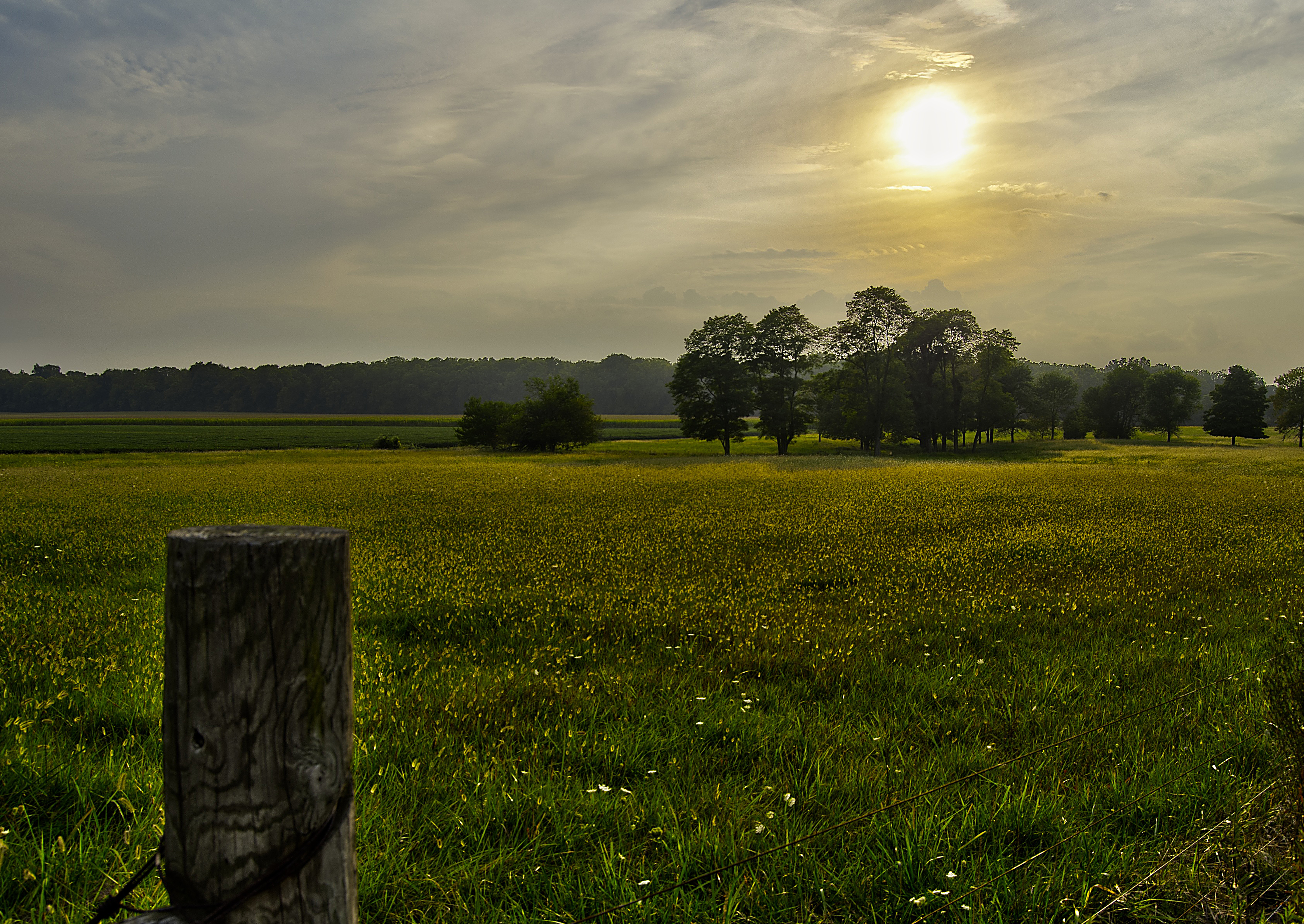
Just corn

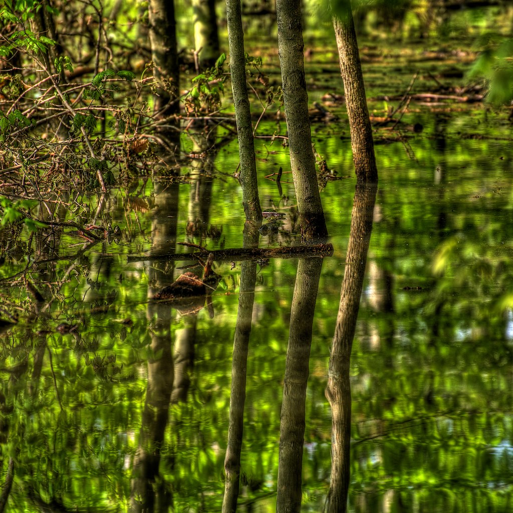
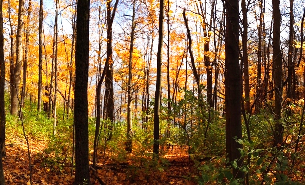
Forest sunset
Horseshoe Waterfall
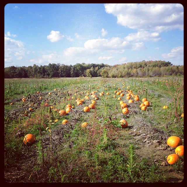
@asteegs pumpkin patch behind the house.
A sullen sun

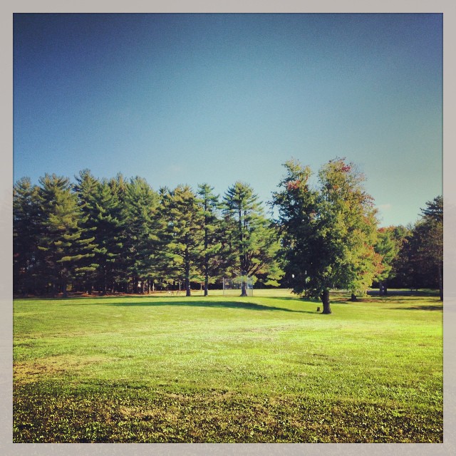
Gulley Park at dusk

SACHEM SKIPPER

Eastern Wood Pewee
Topographic Map of Massie Township, OH, USA
Find elevation by address:

Places near Massie Township, OH, USA:
2211 Jeffery Rd
Wayne Township
Olive Branch Road
Waynesville
465 Old Stage Rd
The Little River Café
5509 Emmons Rd
923 Camp Creek Rd
Hollingsworth Road
4554 Oregonia Rd
Washington Township
Corwin Rd, Oregonia, OH, USA
9213 Us-22
3770 Us-42
4306 Wilmington Rd
3266 Oregonia Rd
421 N Waynesville Rd
3120 Oregonia Rd
Michael B. Dulan, Md
Fox Brush Dr, Lebanon, OH, USA
Recent Searches:
- Elevation of Corso Fratelli Cairoli, 35, Macerata MC, Italy
- Elevation of Tallevast Rd, Sarasota, FL, USA
- Elevation of 4th St E, Sonoma, CA, USA
- Elevation of Black Hollow Rd, Pennsdale, PA, USA
- Elevation of Oakland Ave, Williamsport, PA, USA
- Elevation of Pedrógão Grande, Portugal
- Elevation of Klee Dr, Martinsburg, WV, USA
- Elevation of Via Roma, Pieranica CR, Italy
- Elevation of Tavkvetili Mountain, Georgia
- Elevation of Hartfords Bluff Cir, Mt Pleasant, SC, USA