Elevation of North East Margaree, NS B0E 2H0, Canada

Location: Canada > Nova Scotia > Victoria County > Victoria, Subd. B > Gold Brook >

Longitude: -60.895928

Latitude: 46.2400964

Elevation: 344m / 1129feet

Barometric Pressure: 97KPa

Elevation Map:

elevation map of North East Margaree, NS B0E 2H0, Canada

Satellite Map:

Satellite map of North East Margaree, NS B0E 2H0, Canada

Related Photos:

cape breton highlands sunset autumn fall october margaree nova scotia canada maritimes road trail island
Margaree Sunset
cape clear breton highlands margaree river valley ridge mountain october fall autumn colours foliage nova scotia canada maritimes island
Jagged Ridges
view from atop the root pile
tree-canopy-view
ariel-view
mountain waterfall moss spring falls capebreton gairloch middleriver
Gairloch Mountain Falls
capebreton calm lake mountains cloud moonlight cabottrail reflection
moonlight and still water
Pine Tunnel
Walk on Water...
Lake O'Law
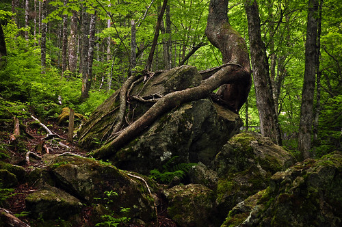
trees plants green nature forest moss rocks gallery novascotia hiking branches roots boulders trunk capebreton d90
Nature's Embrace
macintyres sunset barn
canada capebreton danhartfordphoto fallfoliage foliage huntersmountaiarea lake landscape novascotia reflection water exif:aperture=ƒ11 geo:country=canada camera:make=canon geo:state=novascotiacapebretonisland geo:city=huntersmountain geolocation exif:focallength=105mm geo:lat=461082915 exif:model=canoneos5dmarkiii exif:lens=ef24105mmf4lisusm exif:isospeed=400 geo:lon=608596735 camera:model=canoneos5dmarkiii exif:make=canon 5d3r046469
Fall Reflections in pond near Hunter's Mountin (Cape Breton Island, NS Canada)
after-clearing
our-forest
starting to clear
building site
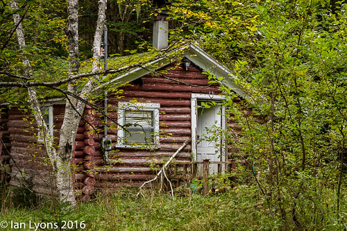
architecturebuildingsfeatures shack dwellings northamerica margareeforks forestscene fall fallcolours landscape middleriverwildernessarea capebretton scenic cabottrail capebretonisland canada tranquilscene novascotia concepts forest
Abandoned Dwelling - Middle River Wilderness Area, Nova Scotia
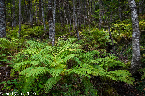
concepts northamerica margareeforks forestscene fall fallcolours landscape forest scenic middleriverwildernessarea capebretonisland canada novascotia tranquilscene capebretton cabottrail
Forest Ferns - Middle River Wilderness Area, Nova Scotia
muck-hole2
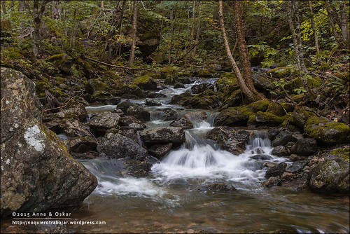
park travel viaje parque canada water canon landscape blog agua novascotia paisaje can falls national 5d nacional g12 1dx newglen
Uisge Ban Falls, Cape Breton Island - Nova Scotia (Canada)
park travel viaje parque canada water canon landscape blog agua novascotia paisaje can falls national 5d nacional g12 1dx newglen
Uisge Ban Falls, Cape Breton Island - Nova Scotia (Canada)
park travel viaje parque canada water canon landscape blog agua novascotia paisaje can falls national 5d nacional g12 1dx newglen
Uisge Ban Falls, Cape Breton Island - Nova Scotia (Canada)
park travel viaje parque canada water canon landscape blog agua novascotia paisaje can falls national 5d nacional g12 1dx newglen
Uisge Ban Falls, Cape Breton Island - Nova Scotia (Canada)