Elevation map of Cape Breton Island, Nova Scotia, Canada
Location: Canada > Nova Scotia > North East Margaree >
Longitude: -60.851817
Latitude: 46.2486851
Elevation: 380m / 1247feet
Barometric Pressure: 97KPa
Elevation Map:
Satellite Map:
Related Photos:
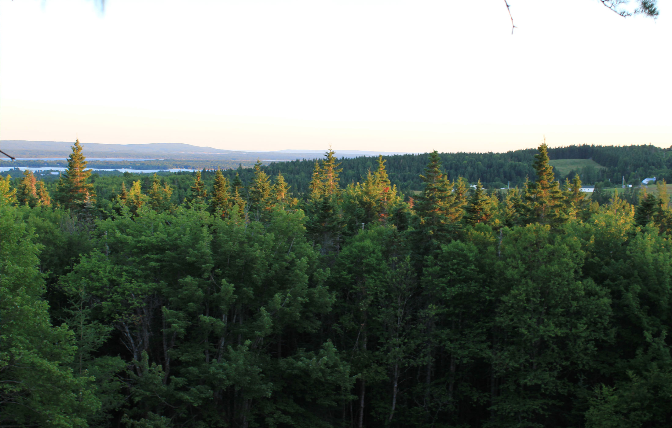
tree-canopy-view
view from atop the root pile
ariel-view
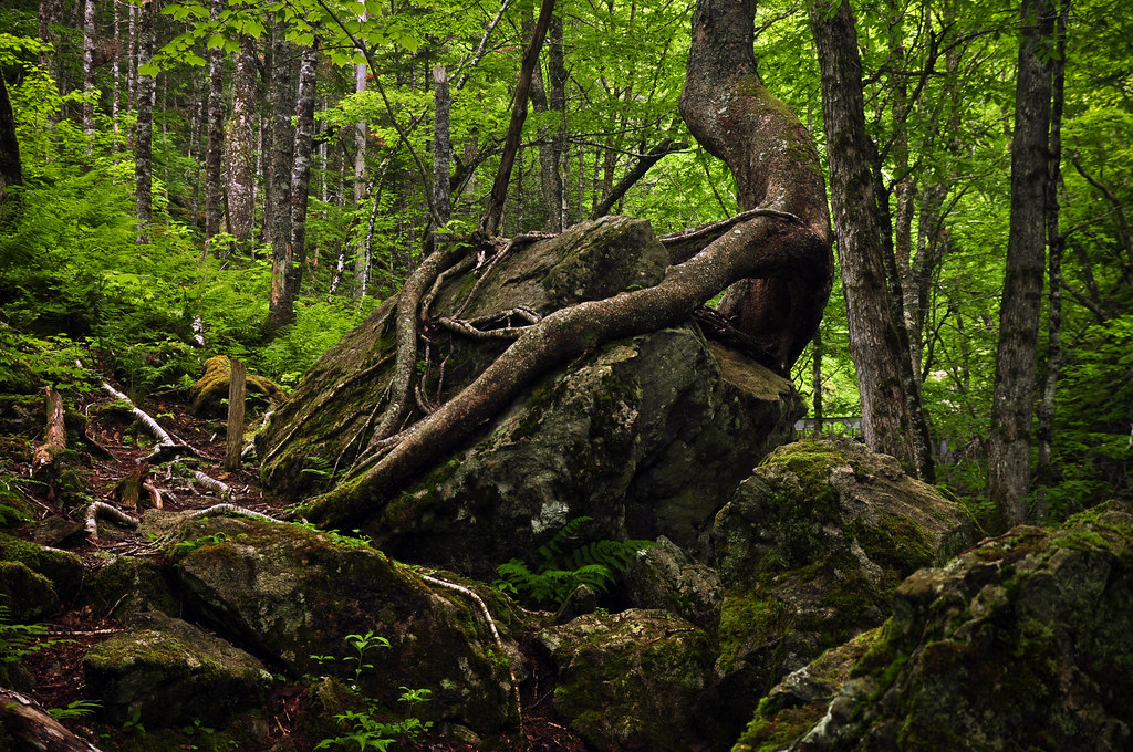
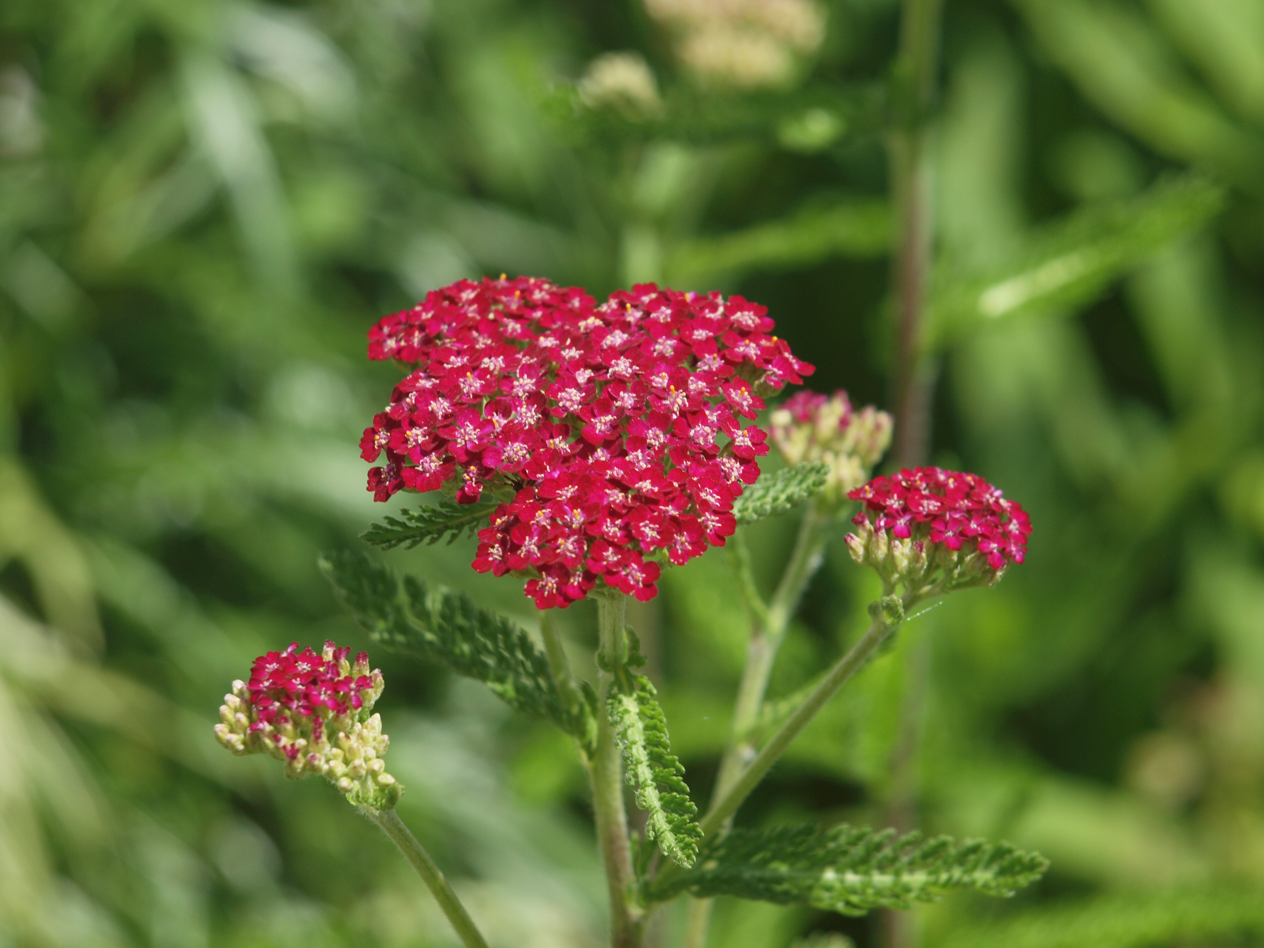
Nature's Embrace
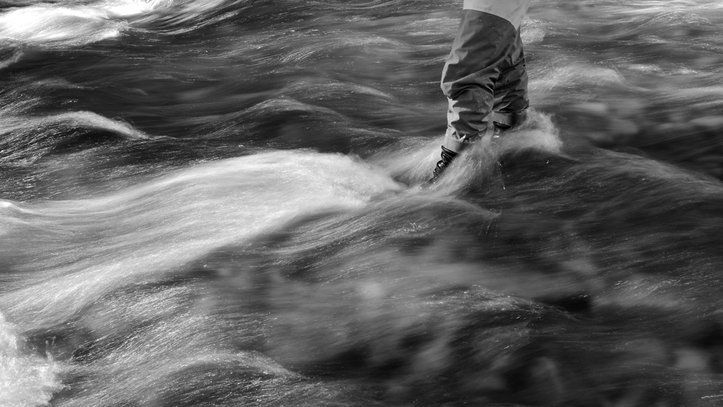
Walk on Water...

macintyres sunset barn
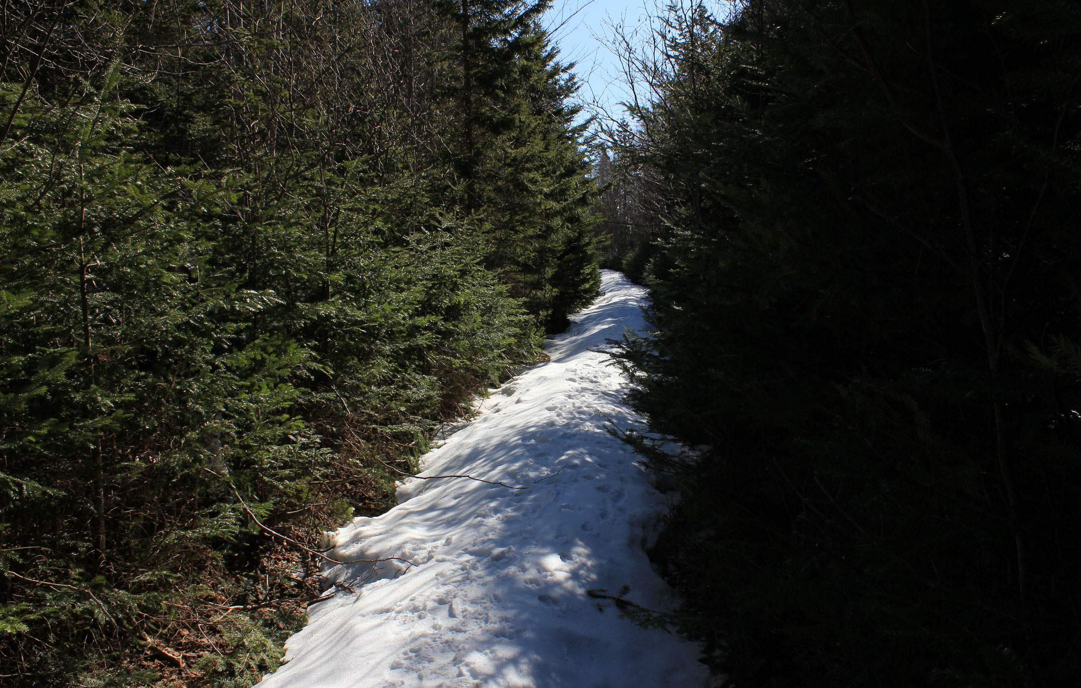
this-will-be-our-drive

#HikeNovaScotia #CapeBretonIsland #ExploreNovaScotia #VisitCapeBreton #CabotTrail #CelticColours
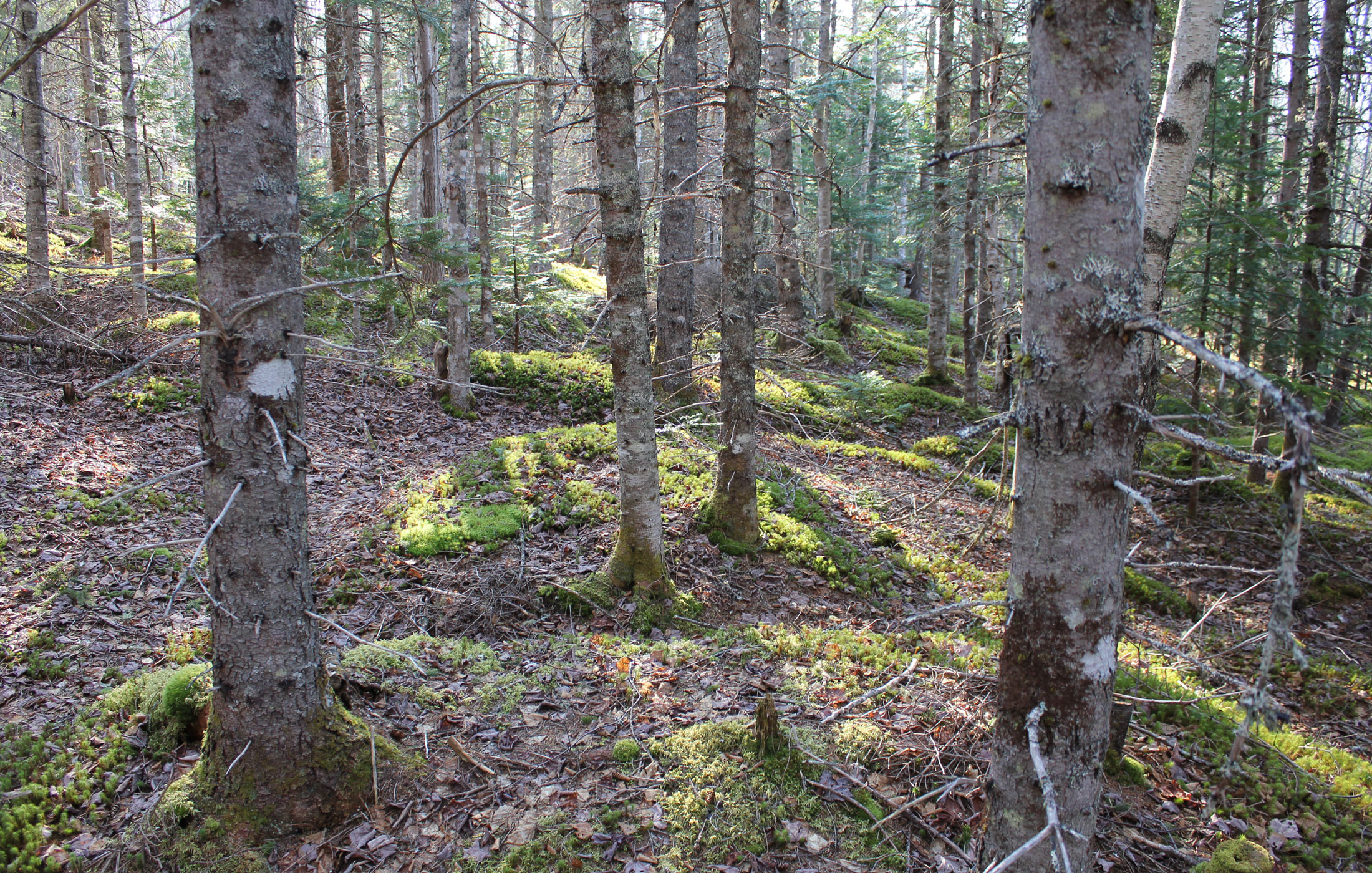
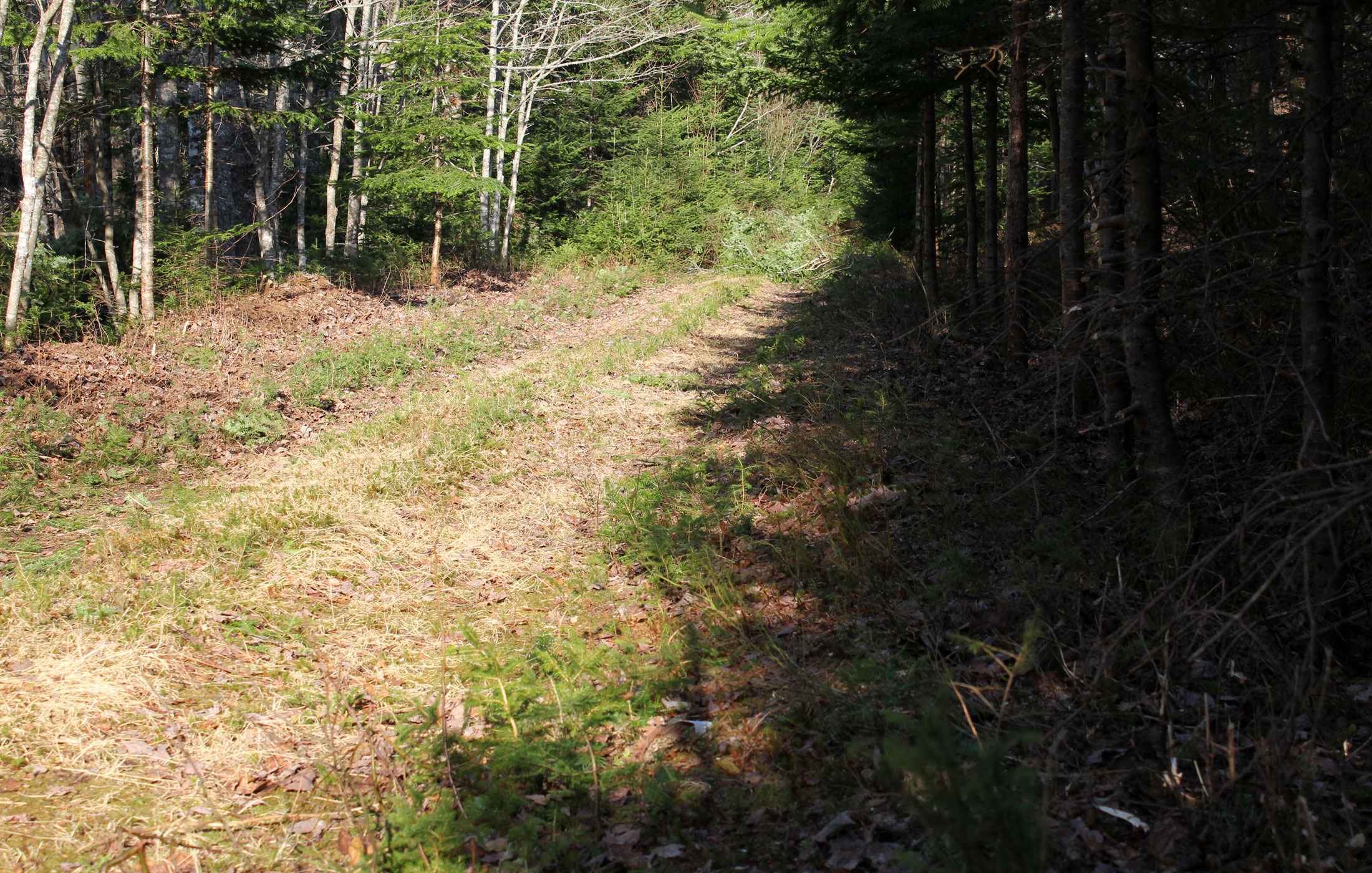
our-forest
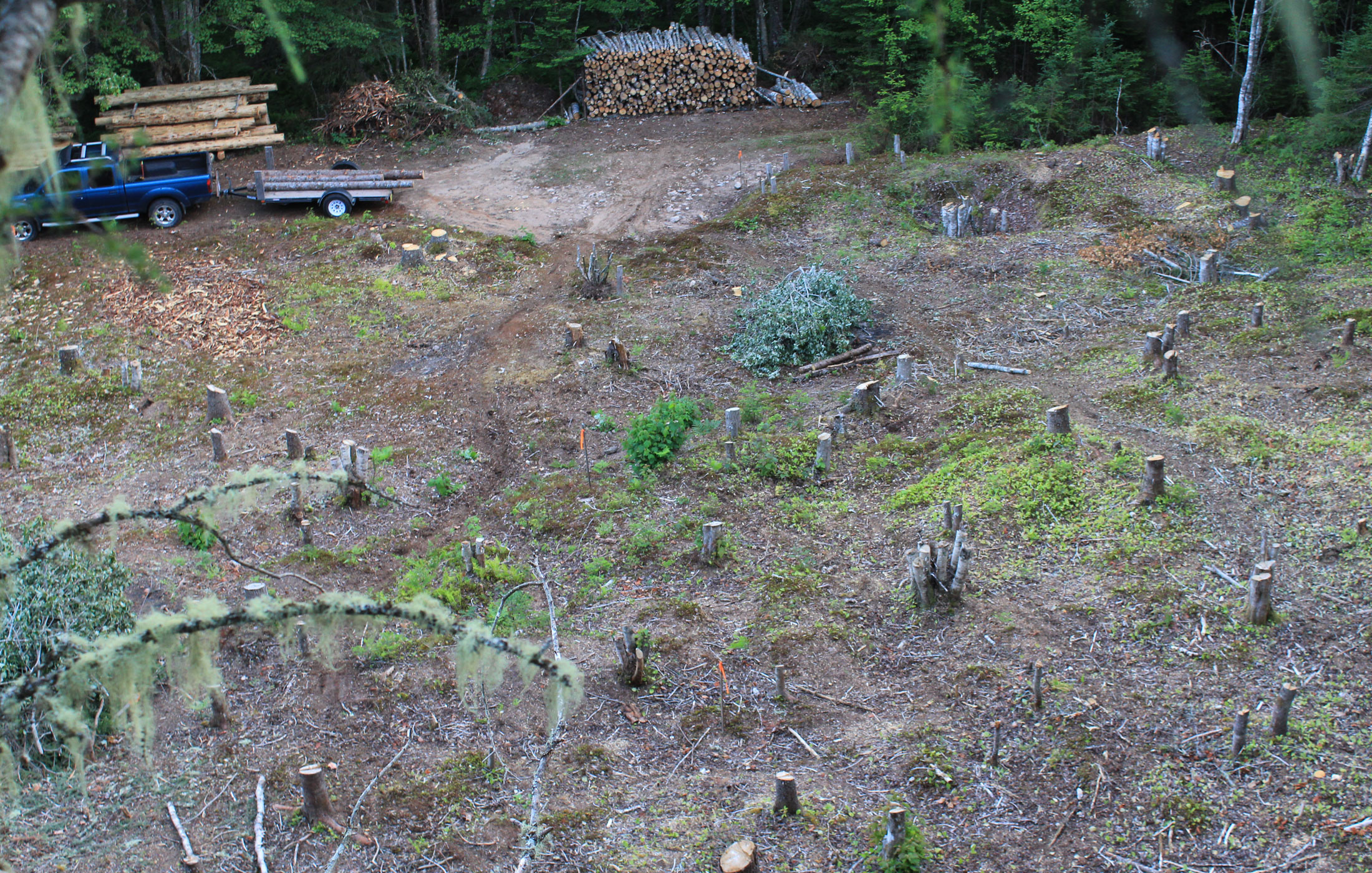
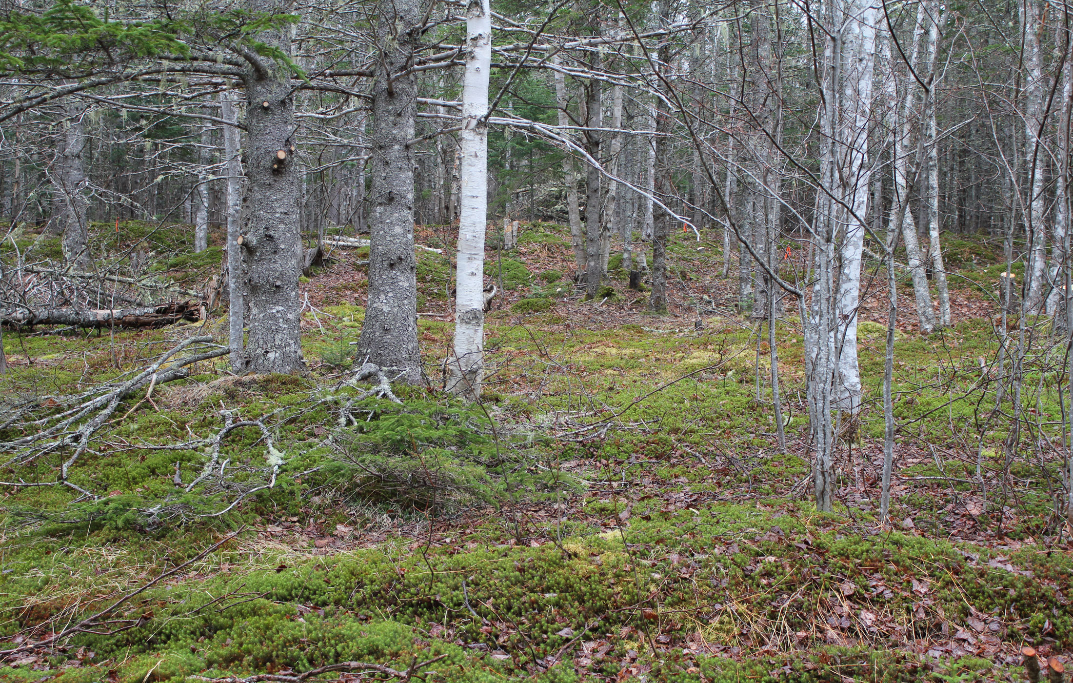
after-clearing

Mary Ann Falls - 2
A milfoil?

Mabou—Fishing - 7
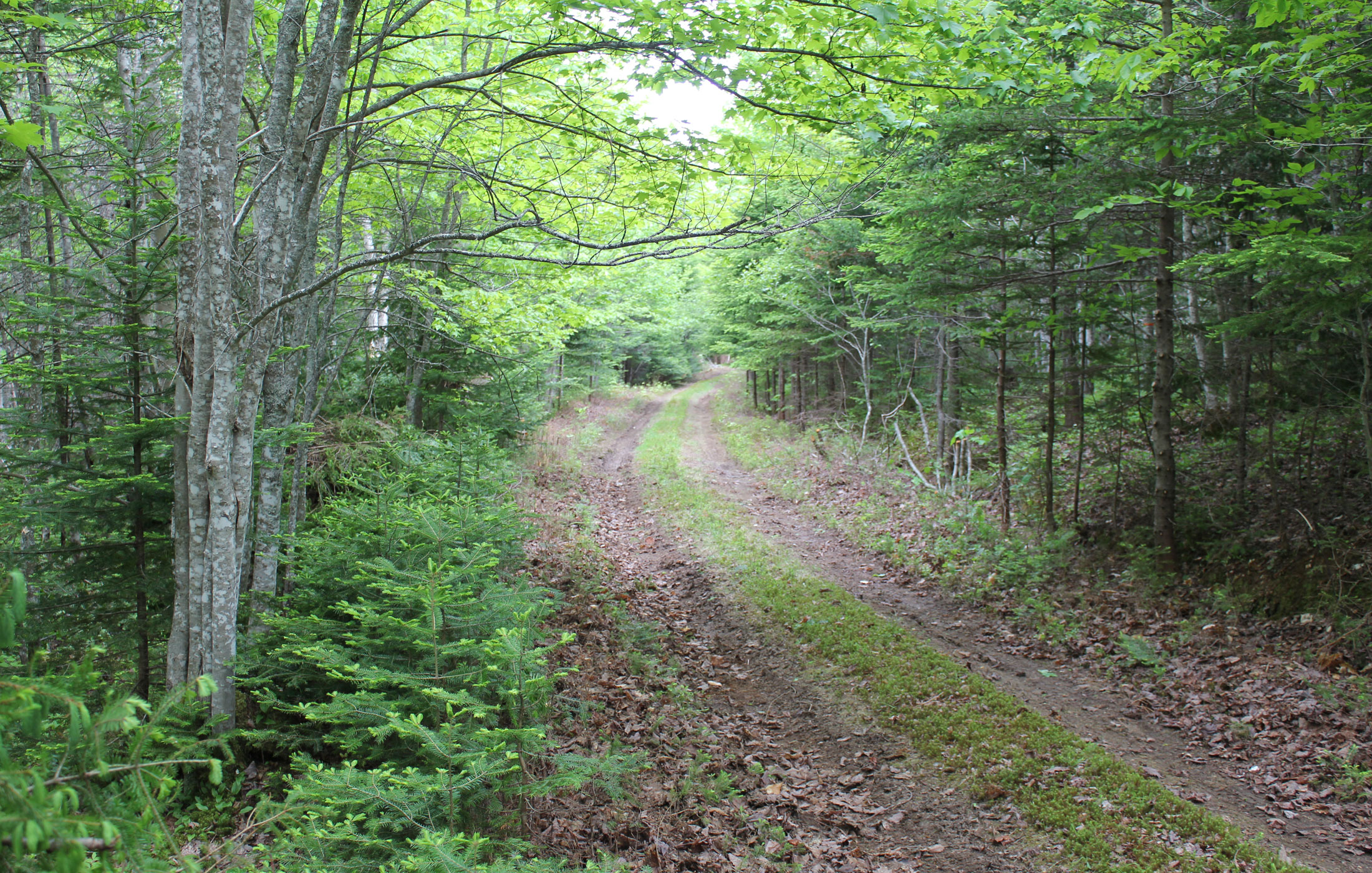
drive-1
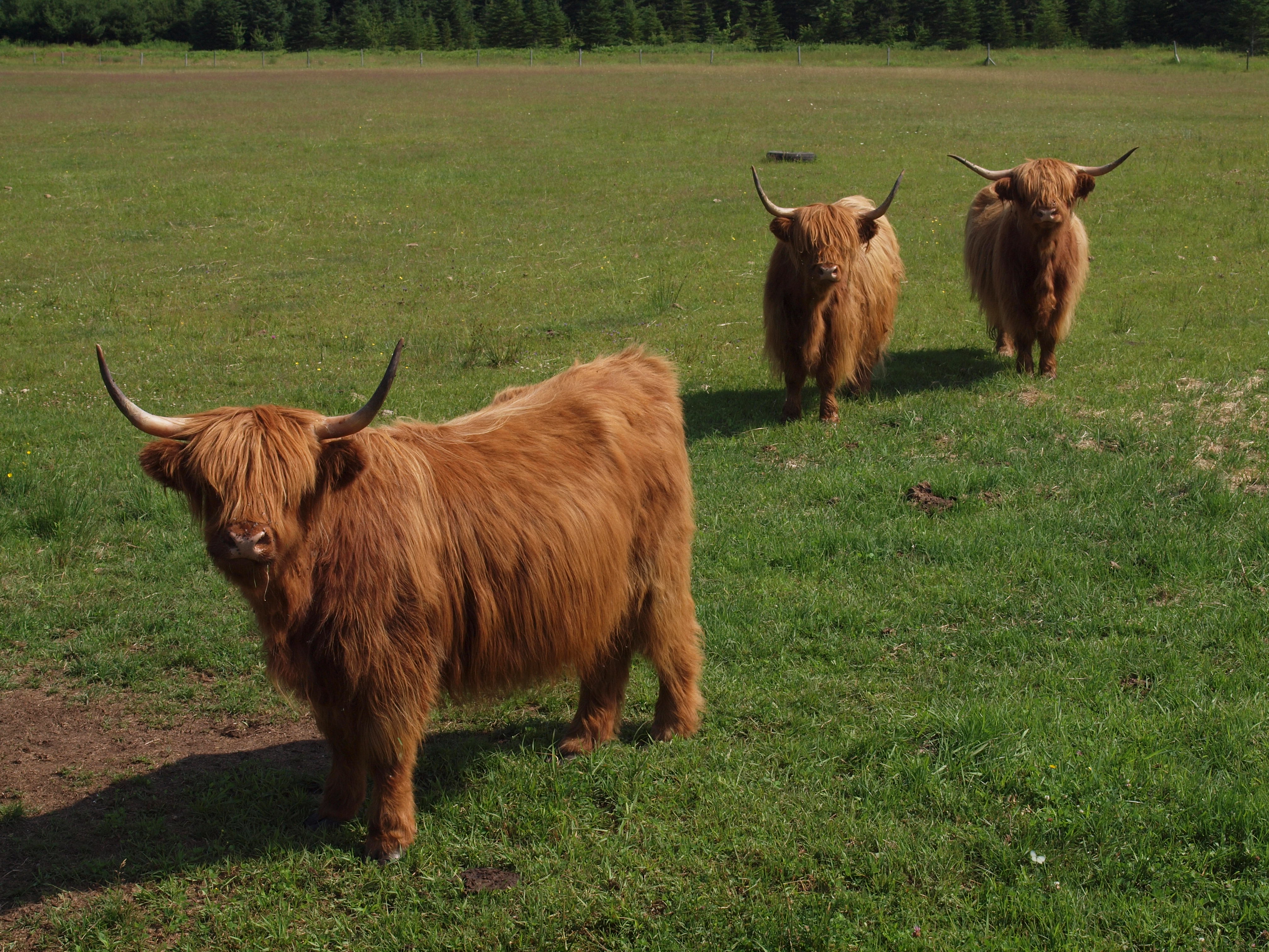
Eatum, Rumen and Cud
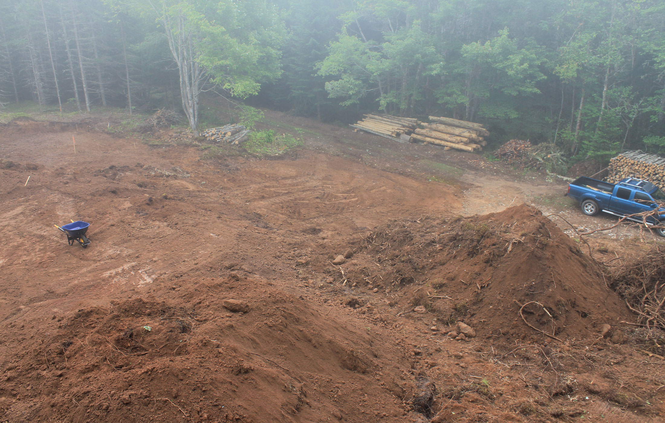
building site
Topographic Map of Cape Breton Island, Nova Scotia, Canada
Find elevation by address:

Places near Cape Breton Island, Nova Scotia, Canada:
B0e 2h0
Gold Brook
816 W Side Middle River Rd
816 Middle River West Rd
Egypt Road
Orangedale Presbyterian Church
Valley View Chalets
Margaree Valley
Baddeck Cabot Trail Campground
69 MacDonald Ln, Margaree Valley, NS B0E 2C0, Canada
North East Margaree
Margaree Centre
Baddeck
W Big Intervale Rd, Margaree Centre, NS B0E 1Z0, Canada
Chebucto Street
60 Humes Rear W Loop, Nova Scotia B0E 3N0, Canada
Marsh Brook Rd, Margaree Valley, NS B0E 2C0, Canada
Lower Washabuck
NS-, Baddeck, NS B0E 1B0, Canada
North River Provincial Park
Recent Searches:
- Elevation of Corso Fratelli Cairoli, 35, Macerata MC, Italy
- Elevation of Tallevast Rd, Sarasota, FL, USA
- Elevation of 4th St E, Sonoma, CA, USA
- Elevation of Black Hollow Rd, Pennsdale, PA, USA
- Elevation of Oakland Ave, Williamsport, PA, USA
- Elevation of Pedrógão Grande, Portugal
- Elevation of Klee Dr, Martinsburg, WV, USA
- Elevation of Via Roma, Pieranica CR, Italy
- Elevation of Tavkvetili Mountain, Georgia
- Elevation of Hartfords Bluff Cir, Mt Pleasant, SC, USA