Elevation of 69 MacDonald Ln, Margaree Valley, NS B0E 2C0, Canada
Location: Canada > Nova Scotia > Inverness County > Inverness, Subd. A > Margaree Valley >
Longitude: -60.948822
Latitude: 46.384096
Elevation: 75m / 246feet
Barometric Pressure: 100KPa
Elevation Map:
Satellite Map:
Related Photos:
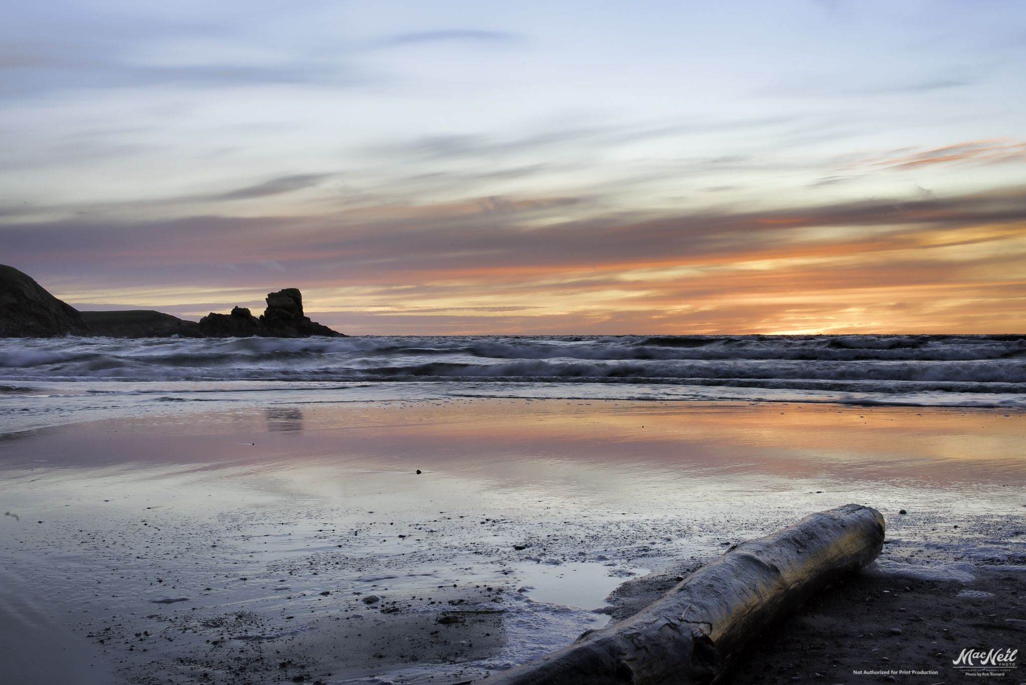
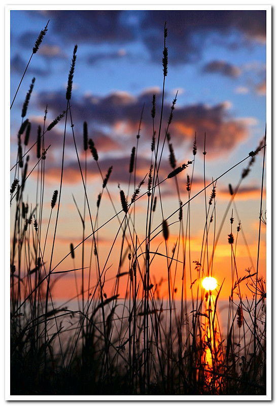
MacKinnon's Beach after sunset tonight
sunset over the banks of Terre Noire
051913-544F

The Margaree Forks in the road

a small Aurora at the end of the Margaree River
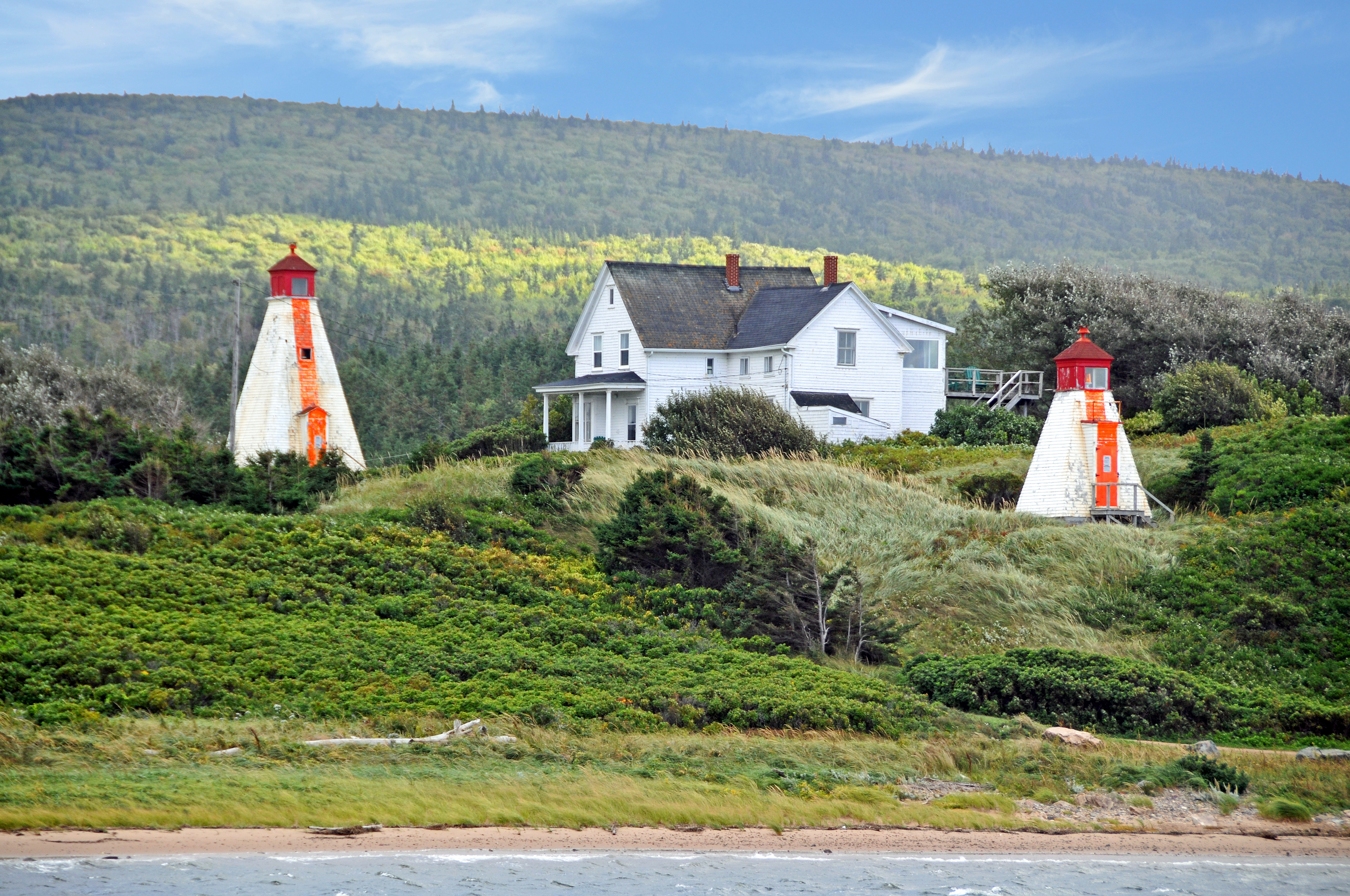
DGJ_4502 - Margaree Harbour Range Lights
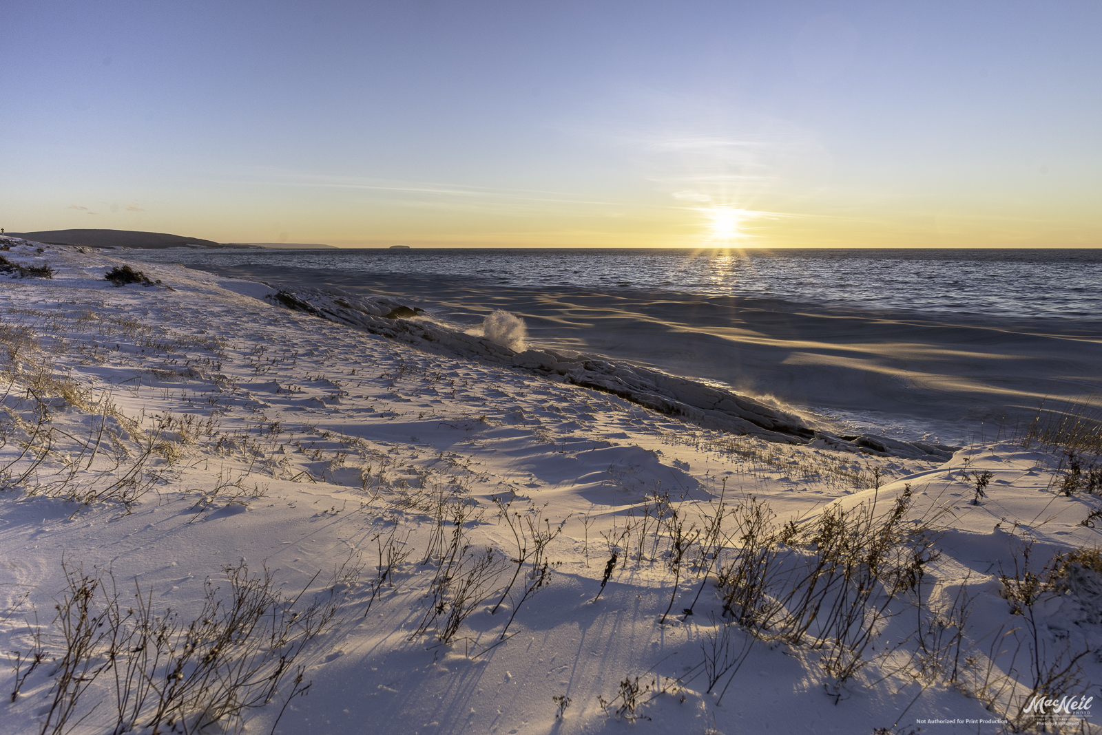
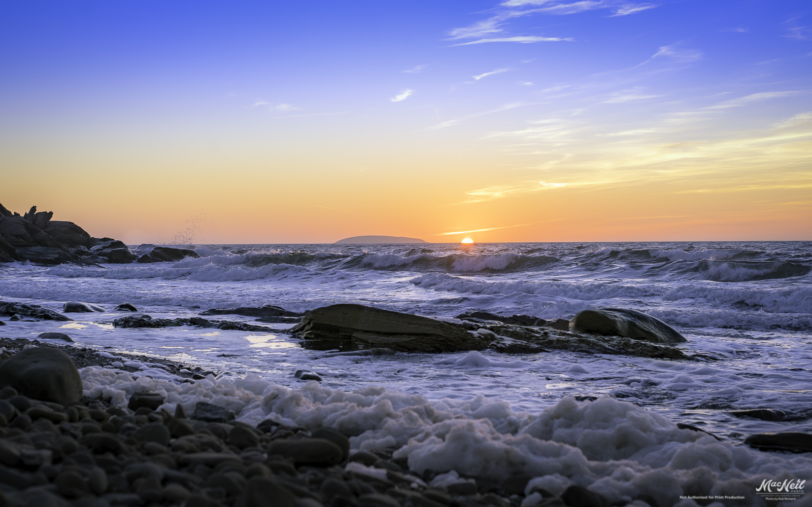
Cheticamp Sunset
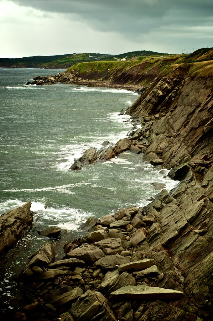
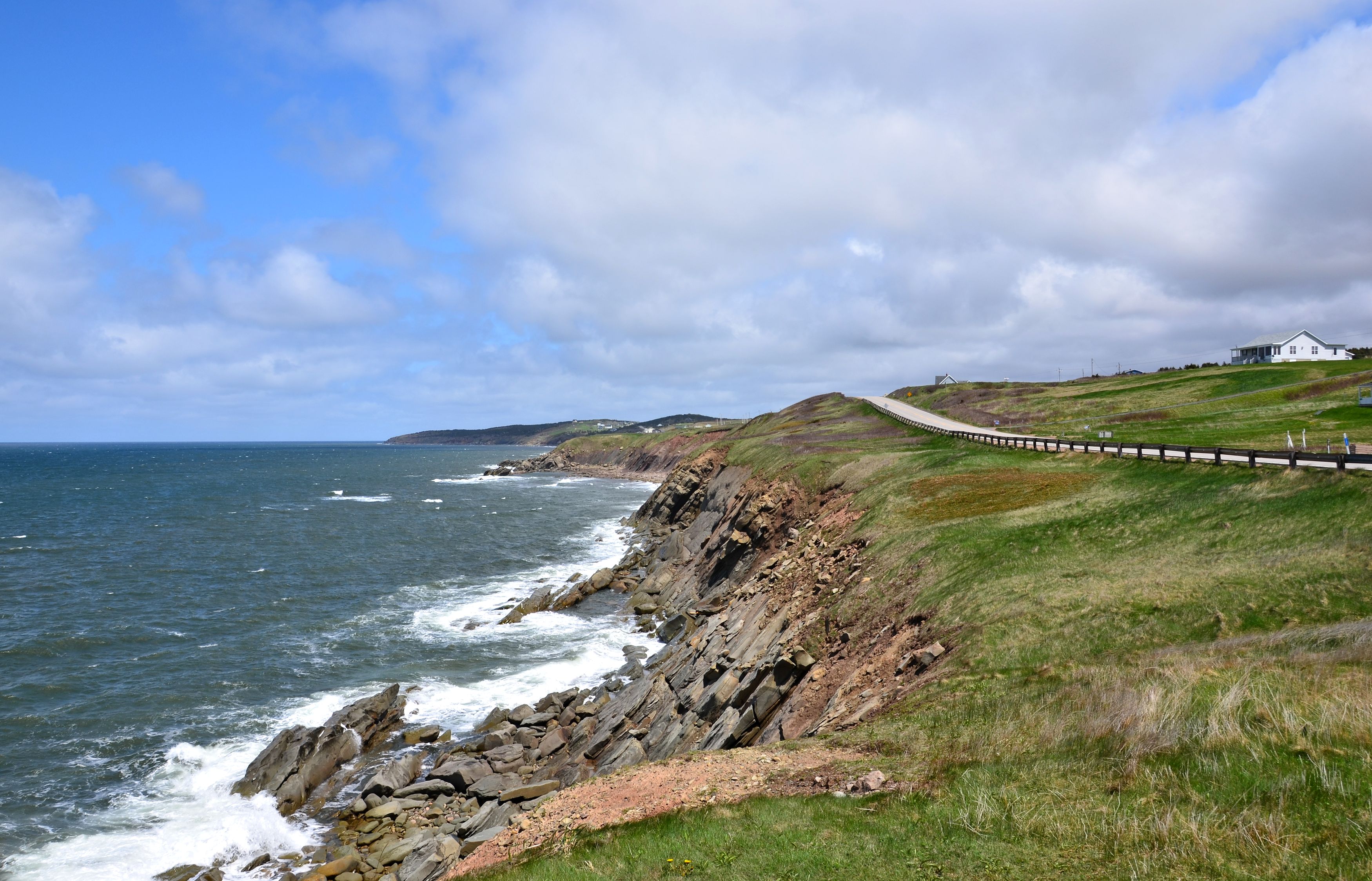
Cape Breton Coastal
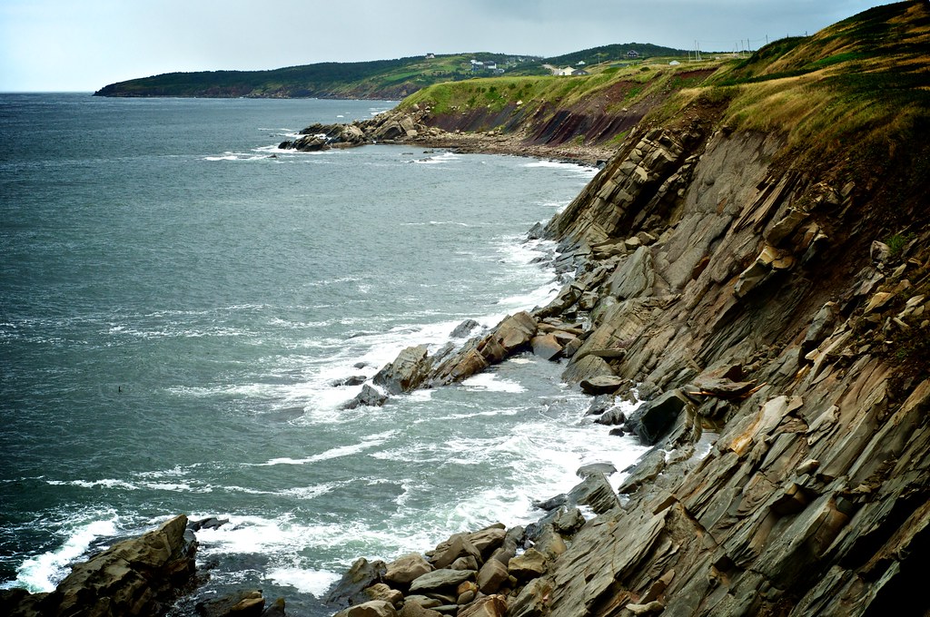
Cape Breton Coastal
sunset next to Sea Wolf Island this evening

Raindrops in a Pond near Phillips Mountain
Topographic Map of 69 MacDonald Ln, Margaree Valley, NS B0E 2C0, Canada
Find elevation by address:

Places near 69 MacDonald Ln, Margaree Valley, NS B0E 2C0, Canada:
Valley View Chalets
Margaree Valley
Marsh Brook Rd, Margaree Valley, NS B0E 2C0, Canada
Egypt Road
Margaree Centre
W Big Intervale Rd, Margaree Centre, NS B0E 1Z0, Canada
Marsh Brook Road
North East Margaree
E Margaree Rd, Margaree Valley, NS B0E 2C0, Canada
Inverness County
B0e 2h0
Gold Brook
Cape Breton Island
816 W Side Middle River Rd
816 Middle River West Rd
South West Margaree
2101 Shore Rd
NS-, Scotsville, NS B0E 3E0, Canada
115 Pipers Glen Rd
Scotsville
Recent Searches:
- Elevation of Corso Fratelli Cairoli, 35, Macerata MC, Italy
- Elevation of Tallevast Rd, Sarasota, FL, USA
- Elevation of 4th St E, Sonoma, CA, USA
- Elevation of Black Hollow Rd, Pennsdale, PA, USA
- Elevation of Oakland Ave, Williamsport, PA, USA
- Elevation of Pedrógão Grande, Portugal
- Elevation of Klee Dr, Martinsburg, WV, USA
- Elevation of Via Roma, Pieranica CR, Italy
- Elevation of Tavkvetili Mountain, Georgia
- Elevation of Hartfords Bluff Cir, Mt Pleasant, SC, USA