Elevation of Marsh Brook Rd, Margaree Valley, NS B0E 2C0, Canada
Location: Canada > Nova Scotia > Inverness County > Inverness, Subd. A > Margaree Valley >
Longitude: -61.003557
Latitude: 46.372426
Elevation: 74m / 243feet
Barometric Pressure: 100KPa
Elevation Map:
Satellite Map:
Related Photos:
WhaleCove_Panorama_02
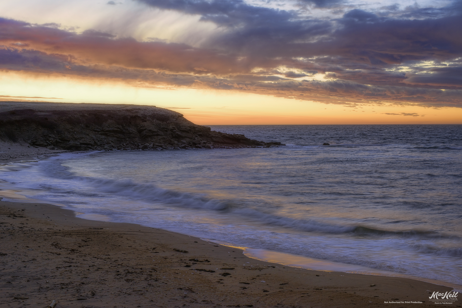
MacKinnon's Beach after sunset tonight
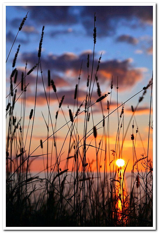
sunset over the banks of Terre Noire
sunset next to Sea Wolf Island this evening
Whale Cove after sunset last night
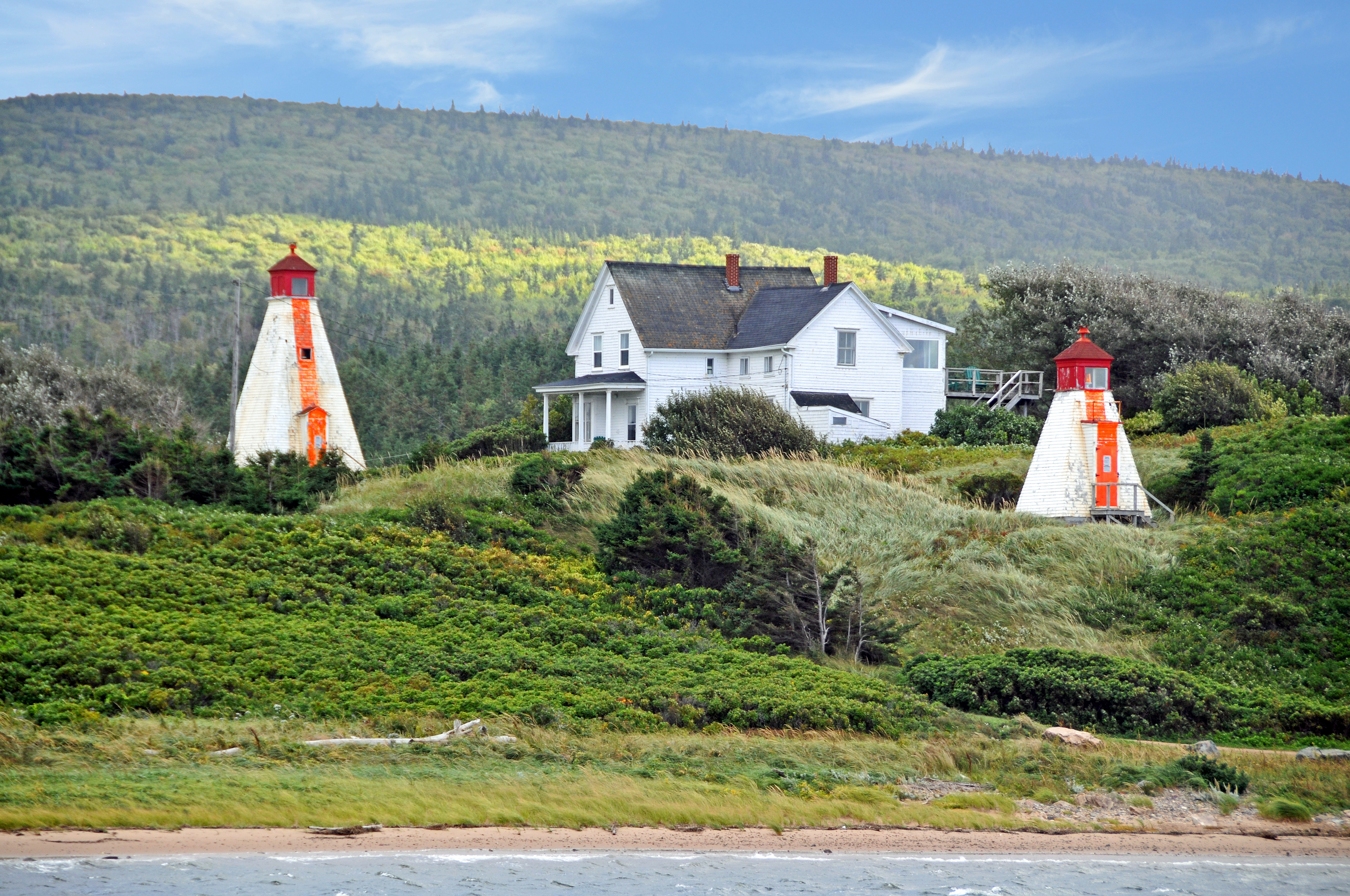
DGJ_4502 - Margaree Harbour Range Lights
Cheticamp Sunset
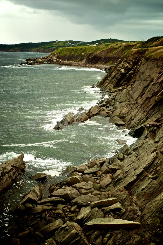
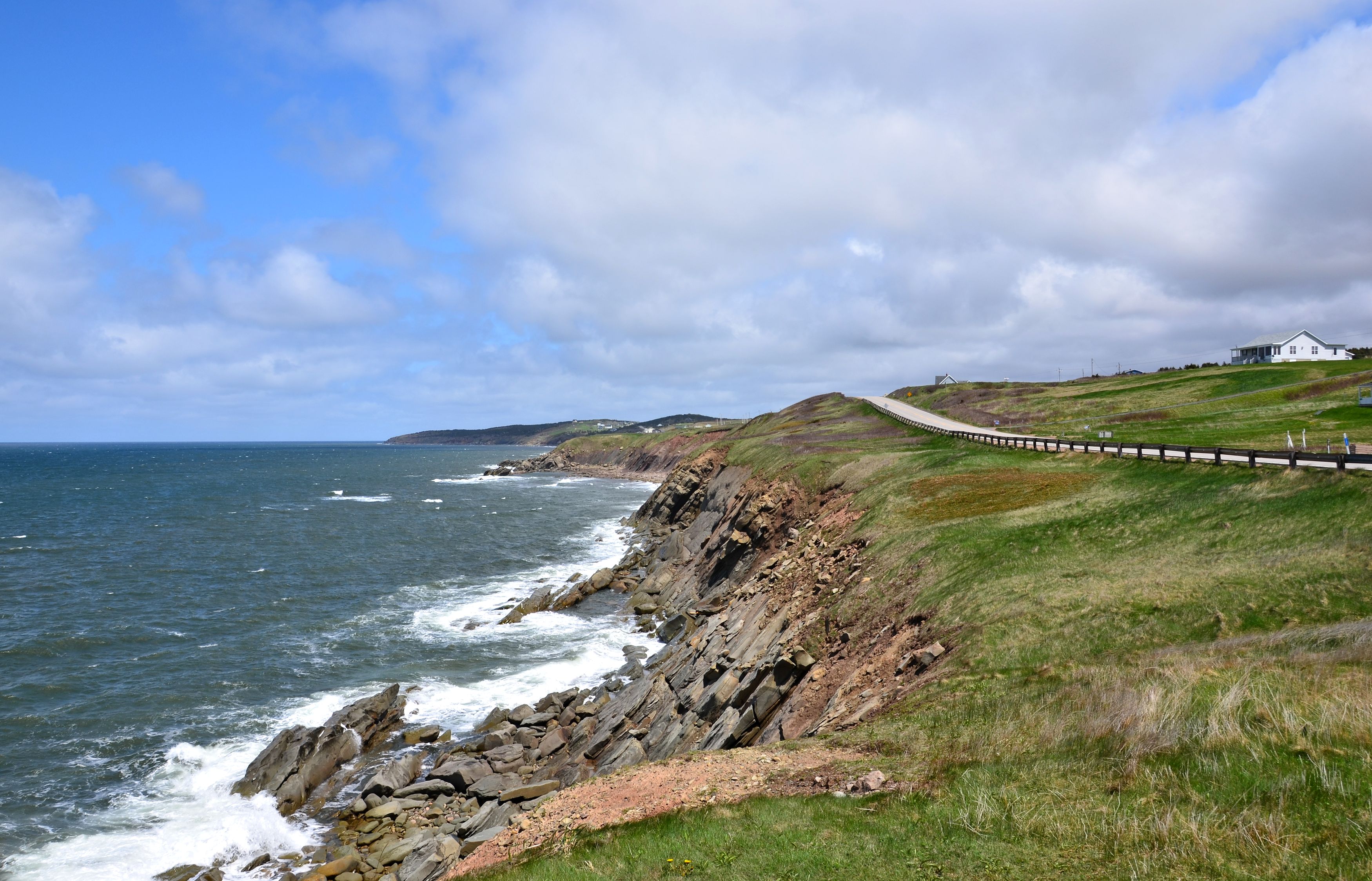
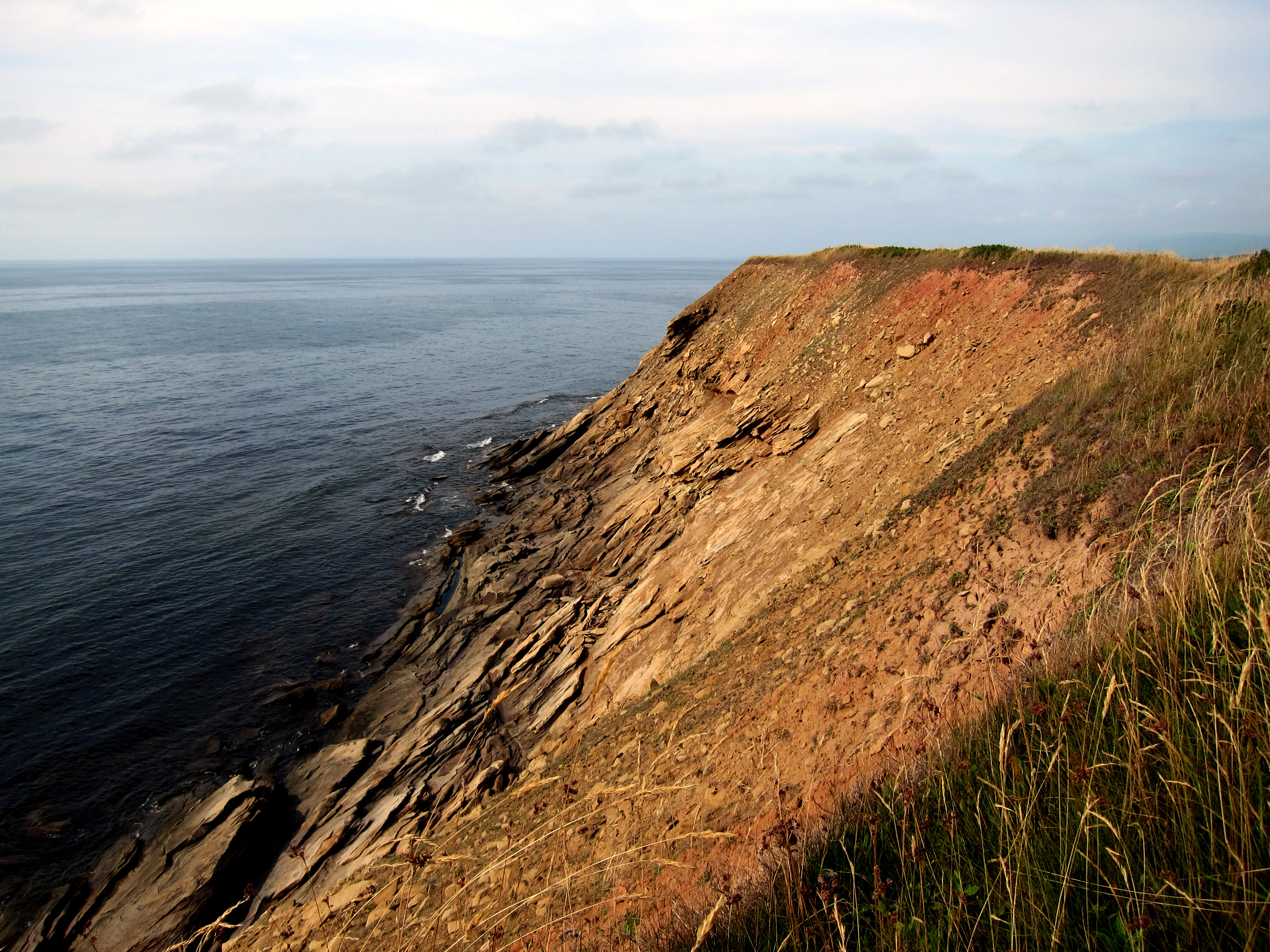
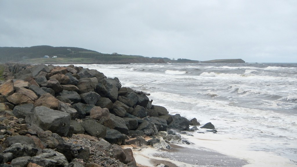
Cape Breton Coastal
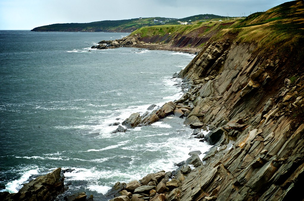
Cape Breton Coastal
051913-544F

The Margaree Forks in the road

Raindrops in a Pond near Phillips Mountain

a small Aurora at the end of the Margaree River
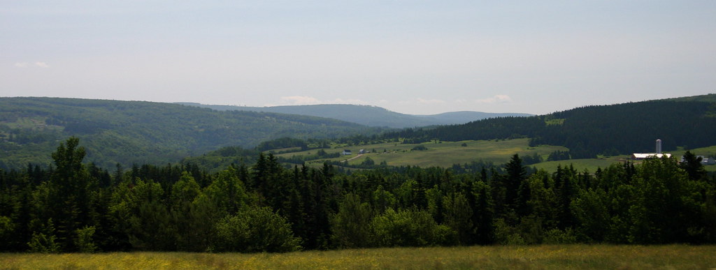
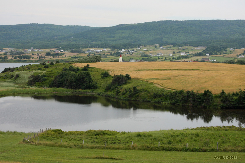
rolling hills

130907-154023.jpg
Whale Cove
Whale Cove
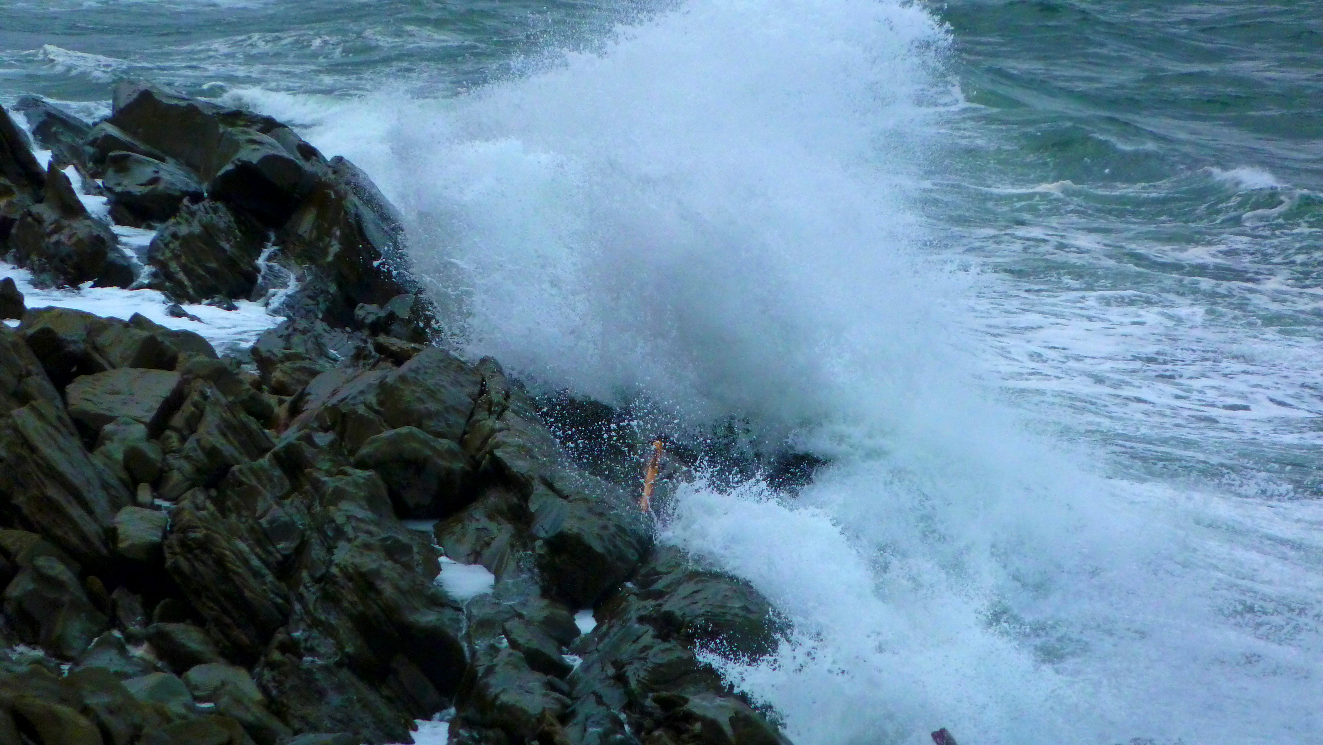
Waves in Chetticamp
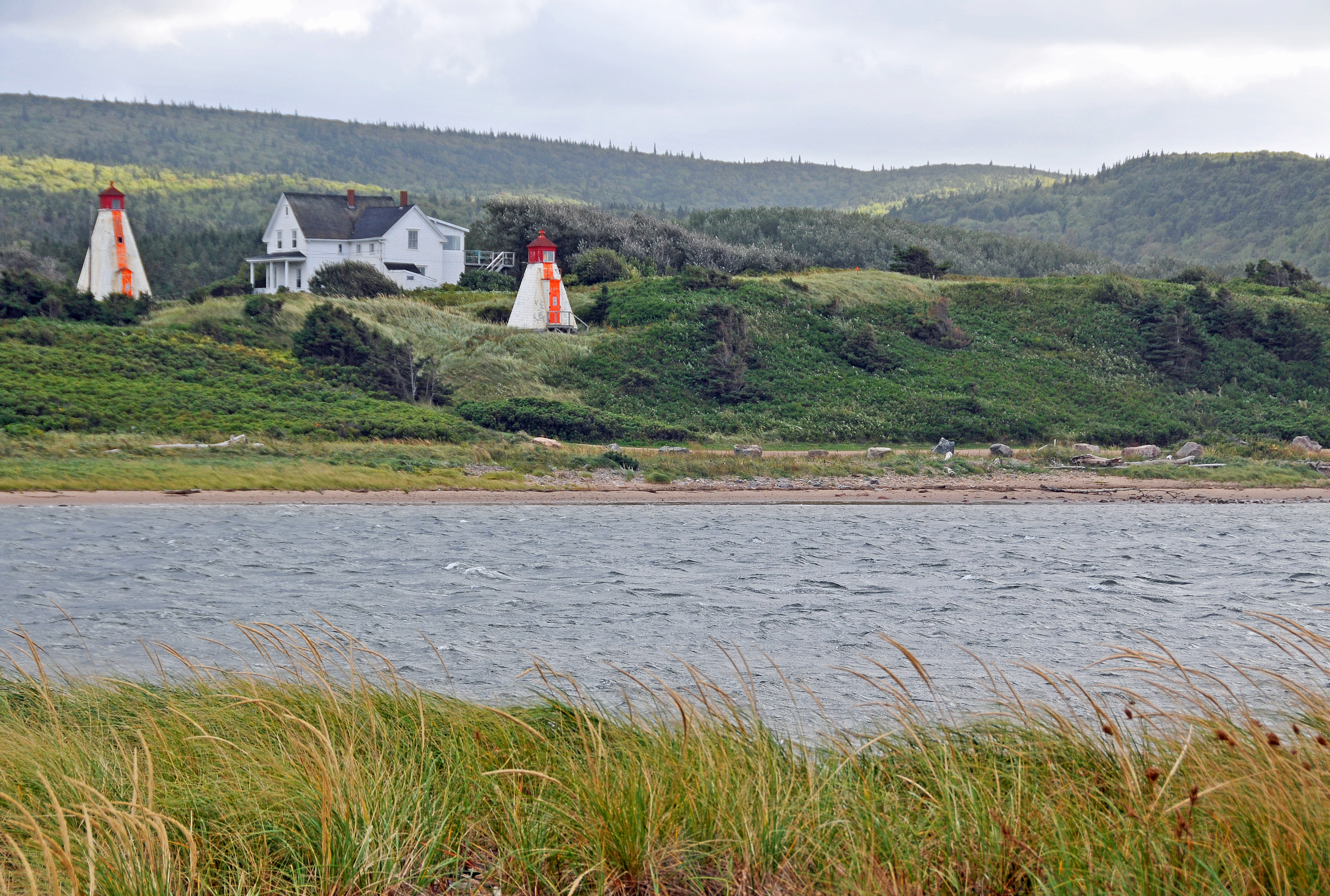
DGJ_4503 - Margaree Harbour Range Lights
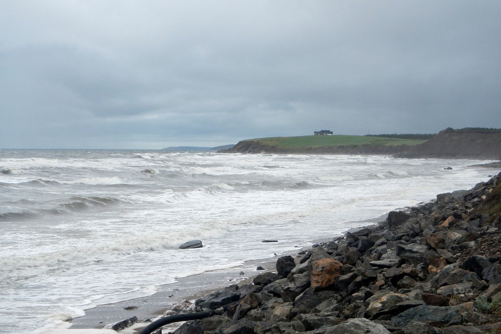
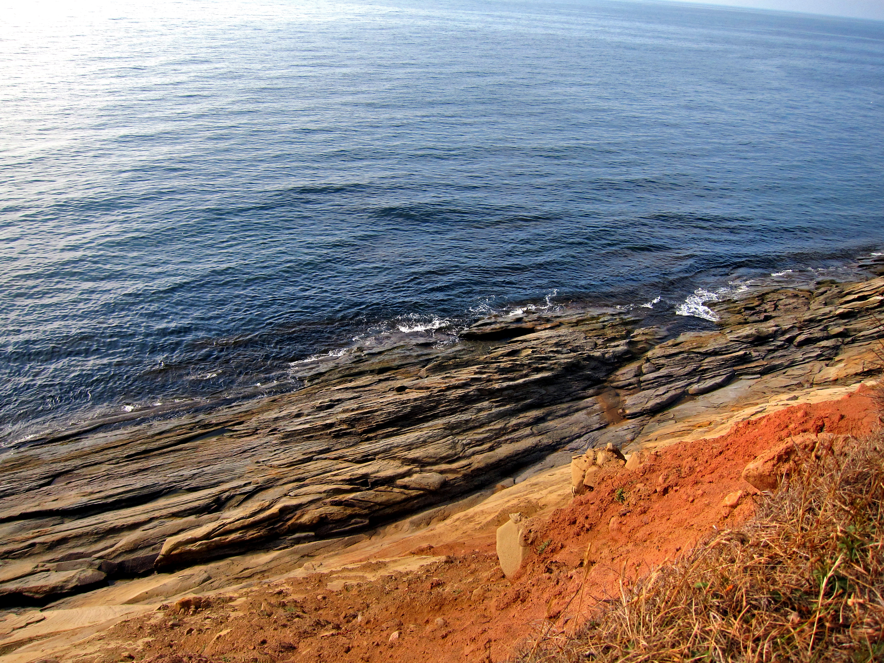
Belle Cote Beach
Rural Nova Scotia
Belle Cote Beach
Topographic Map of Marsh Brook Rd, Margaree Valley, NS B0E 2C0, Canada
Find elevation by address:

Places near Marsh Brook Rd, Margaree Valley, NS B0E 2C0, Canada:
W Big Intervale Rd, Margaree Centre, NS B0E 1Z0, Canada
Margaree Centre
Marsh Brook Road
Margaree Valley
North East Margaree
Valley View Chalets
69 MacDonald Ln, Margaree Valley, NS B0E 2C0, Canada
Egypt Road
E Margaree Rd, Margaree Valley, NS B0E 2C0, Canada
Inverness County
Gold Brook
2101 Shore Rd
South West Margaree
B0e 2h0
816 W Side Middle River Rd
816 Middle River West Rd
Cape Breton Island
NS-, Scotsville, NS B0E 3E0, Canada
115 Pipers Glen Rd
Shore Rd, Inverness, NS B0E 1N0, Canada
Recent Searches:
- Elevation of Corso Fratelli Cairoli, 35, Macerata MC, Italy
- Elevation of Tallevast Rd, Sarasota, FL, USA
- Elevation of 4th St E, Sonoma, CA, USA
- Elevation of Black Hollow Rd, Pennsdale, PA, USA
- Elevation of Oakland Ave, Williamsport, PA, USA
- Elevation of Pedrógão Grande, Portugal
- Elevation of Klee Dr, Martinsburg, WV, USA
- Elevation of Via Roma, Pieranica CR, Italy
- Elevation of Tavkvetili Mountain, Georgia
- Elevation of Hartfords Bluff Cir, Mt Pleasant, SC, USA