Elevation of Shore Rd, Inverness, NS B0E 1N0, Canada
Location: Canada > Nova Scotia > Inverness County > Inverness, Subd. B > Inverness >
Longitude: -61.230125
Latitude: 46.322867
Elevation: 15m / 49feet
Barometric Pressure: 101KPa
Elevation Map:
Satellite Map:
Related Photos:

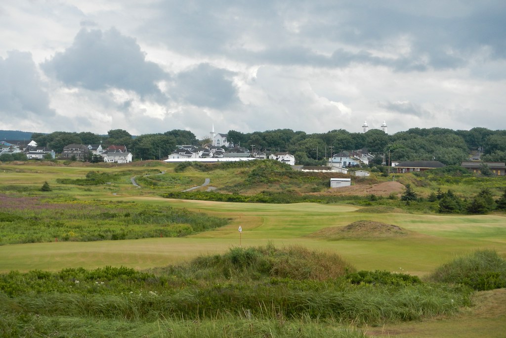
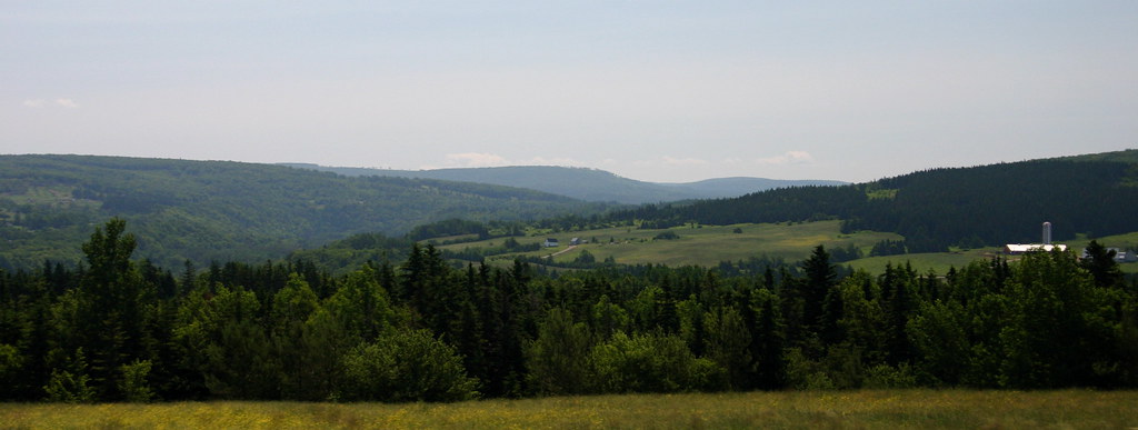
great view from the Celtic Shores Trail
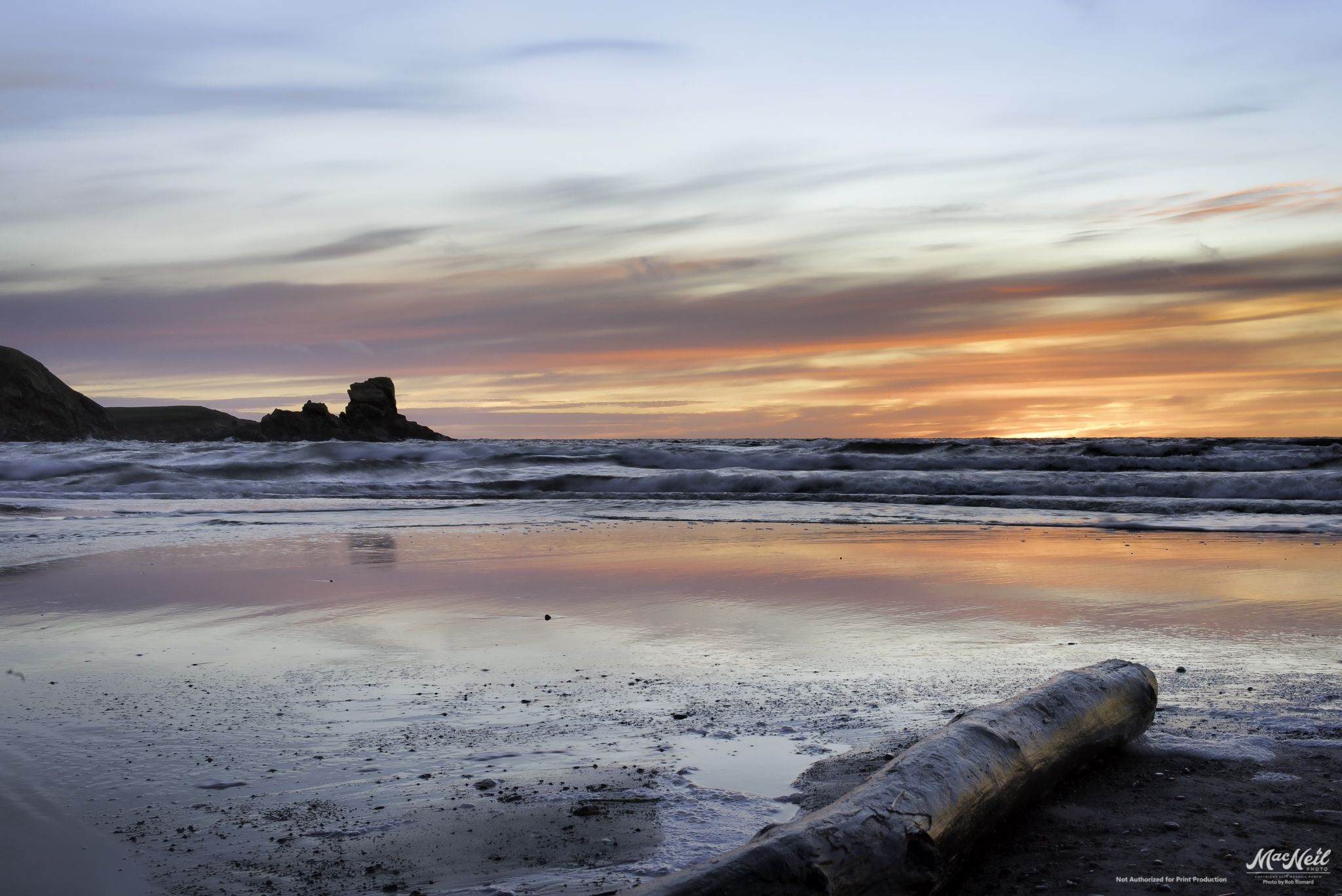
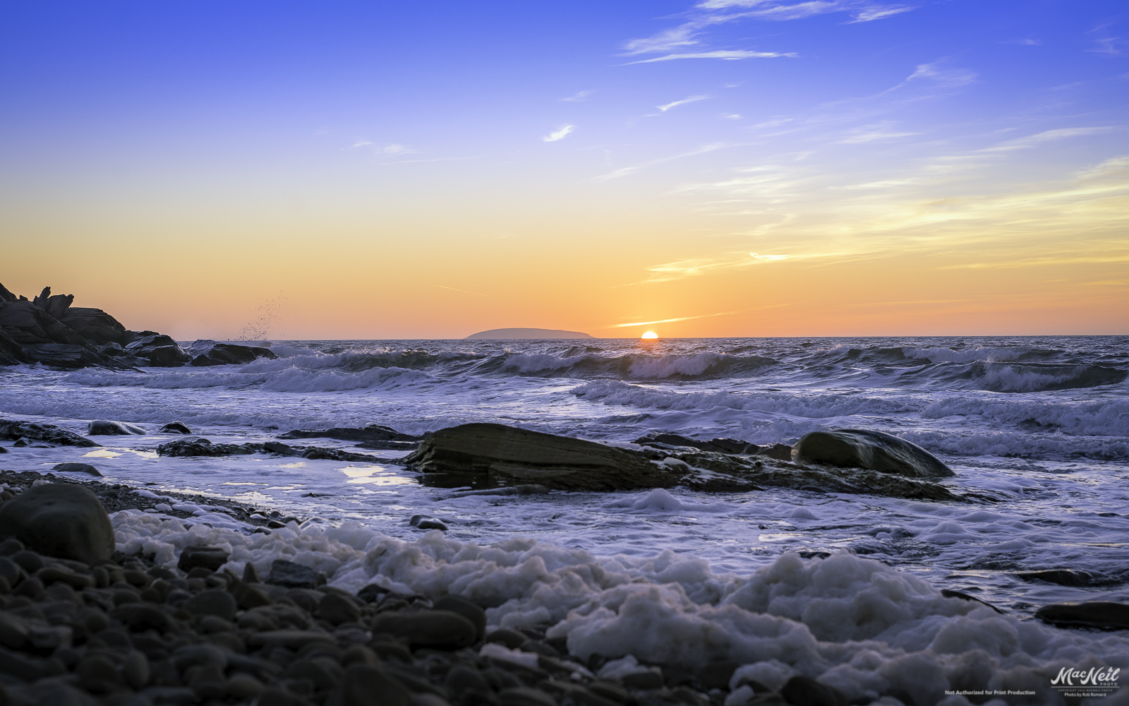
MacKinnon's Beach after sunset tonight
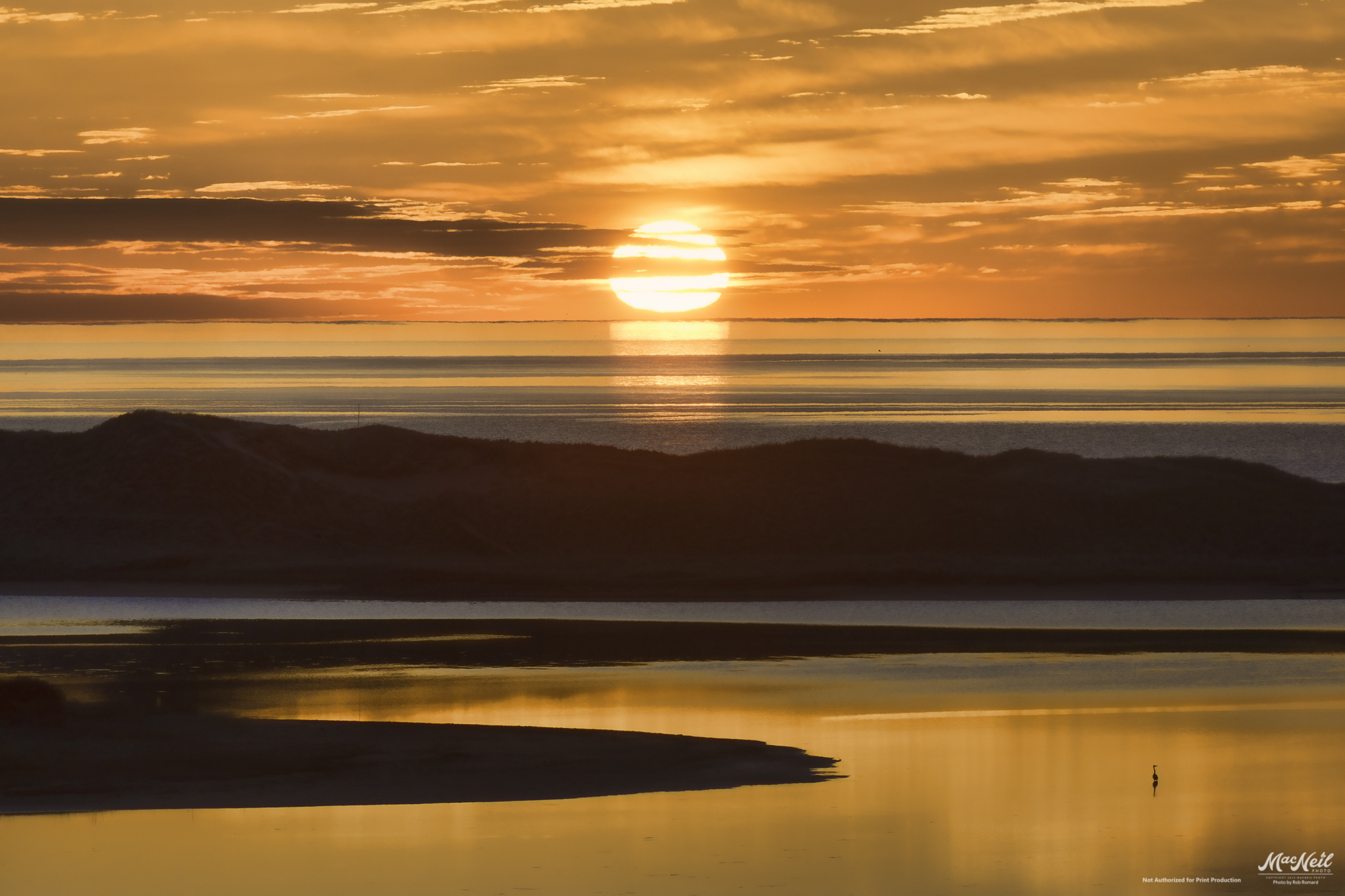
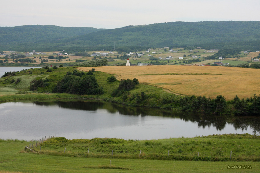
Golden Pond
Chimney Corner

The Margaree Forks in the road

a small Aurora at the end of the Margaree River
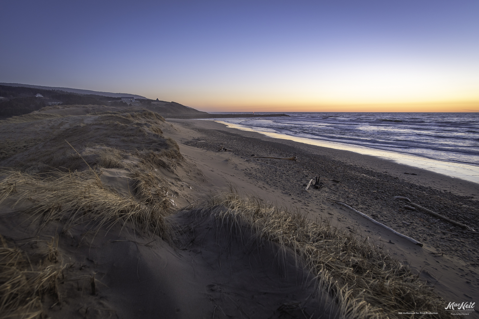
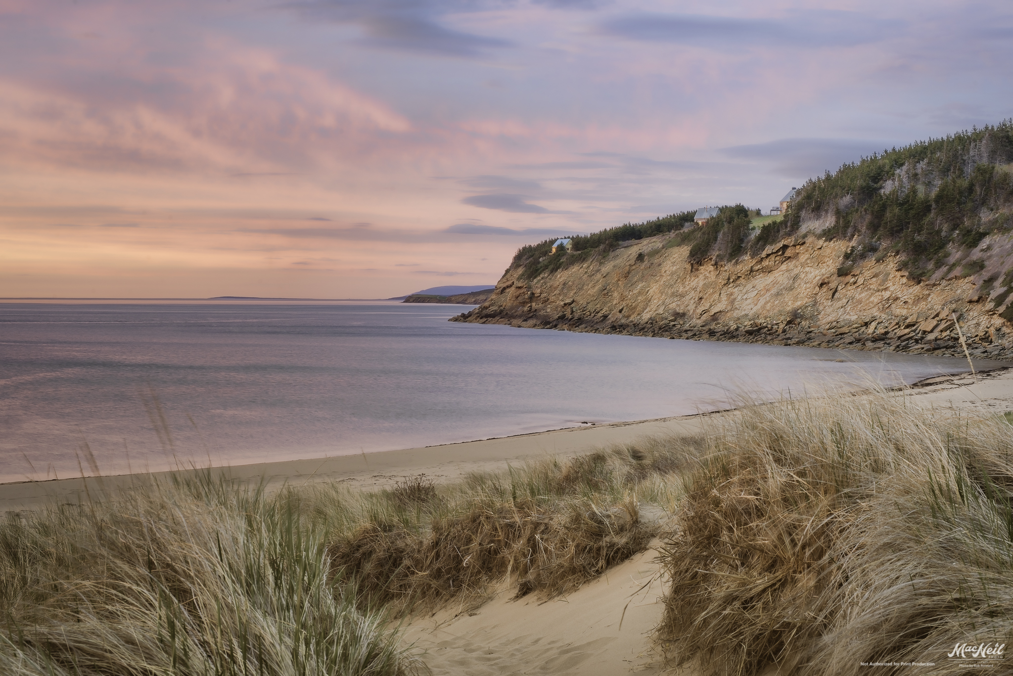
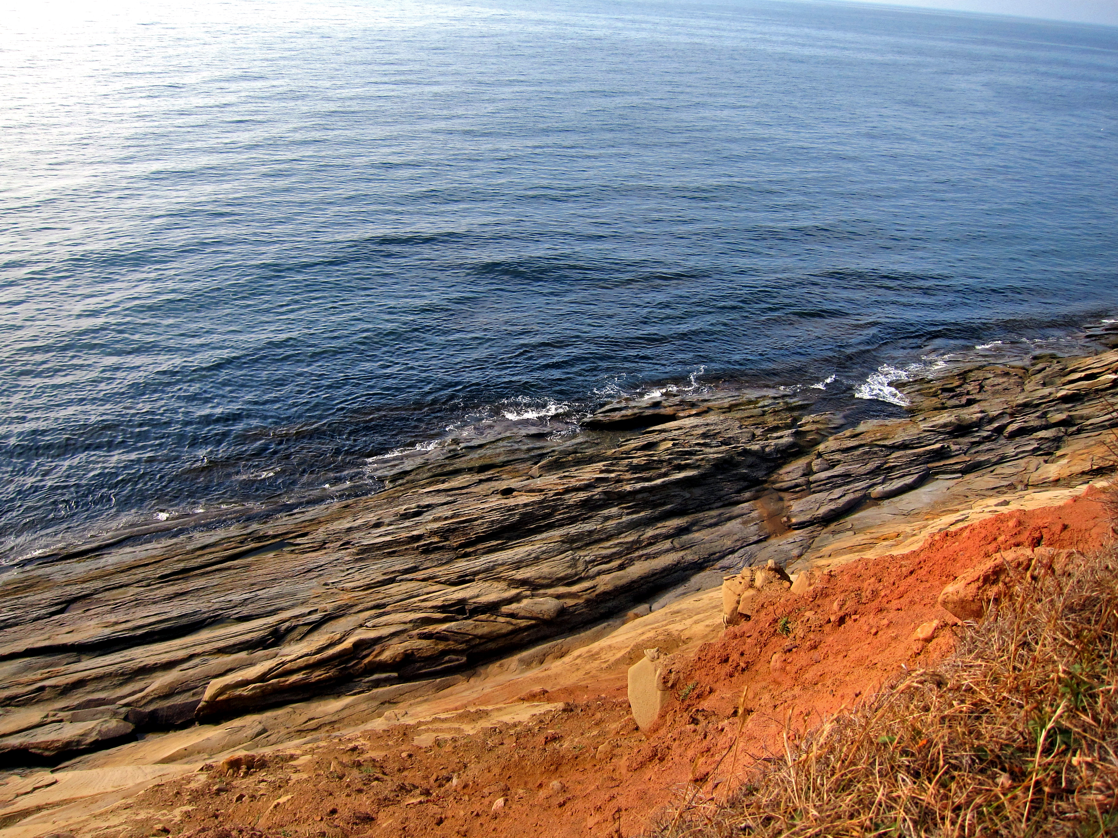
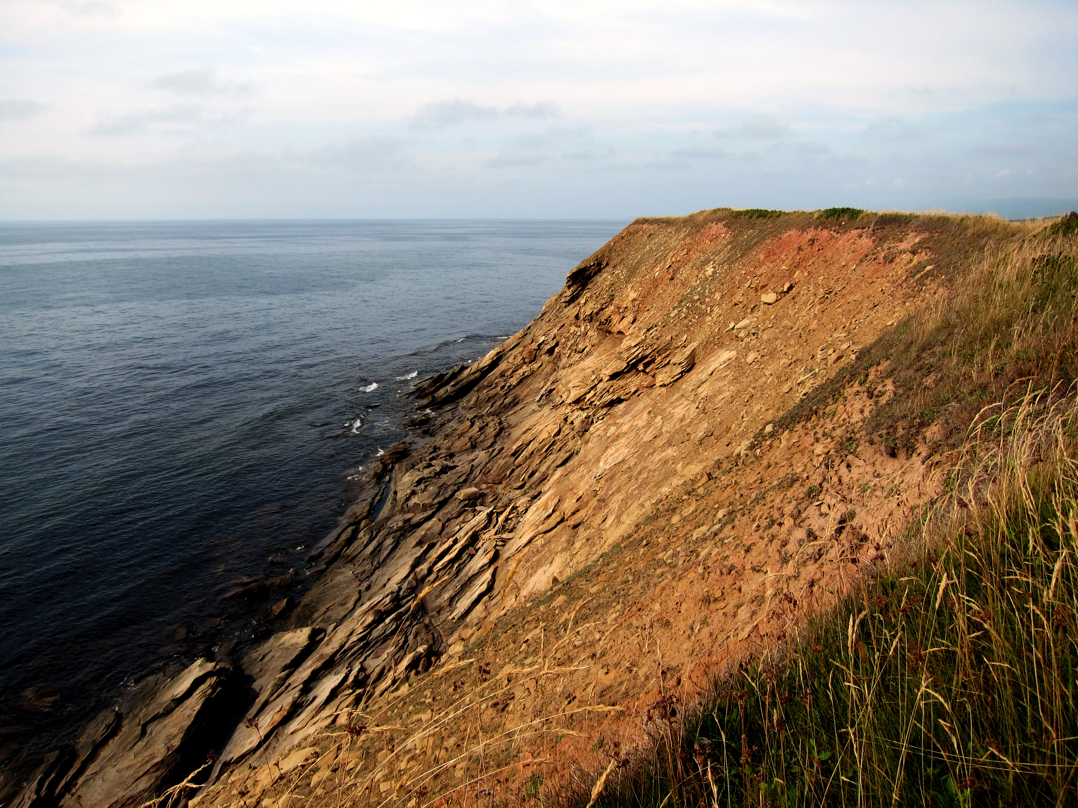
the beach and dunes of Inverness
Inverness, NS

iPhone photos in the Maritimes on a Motorcycle
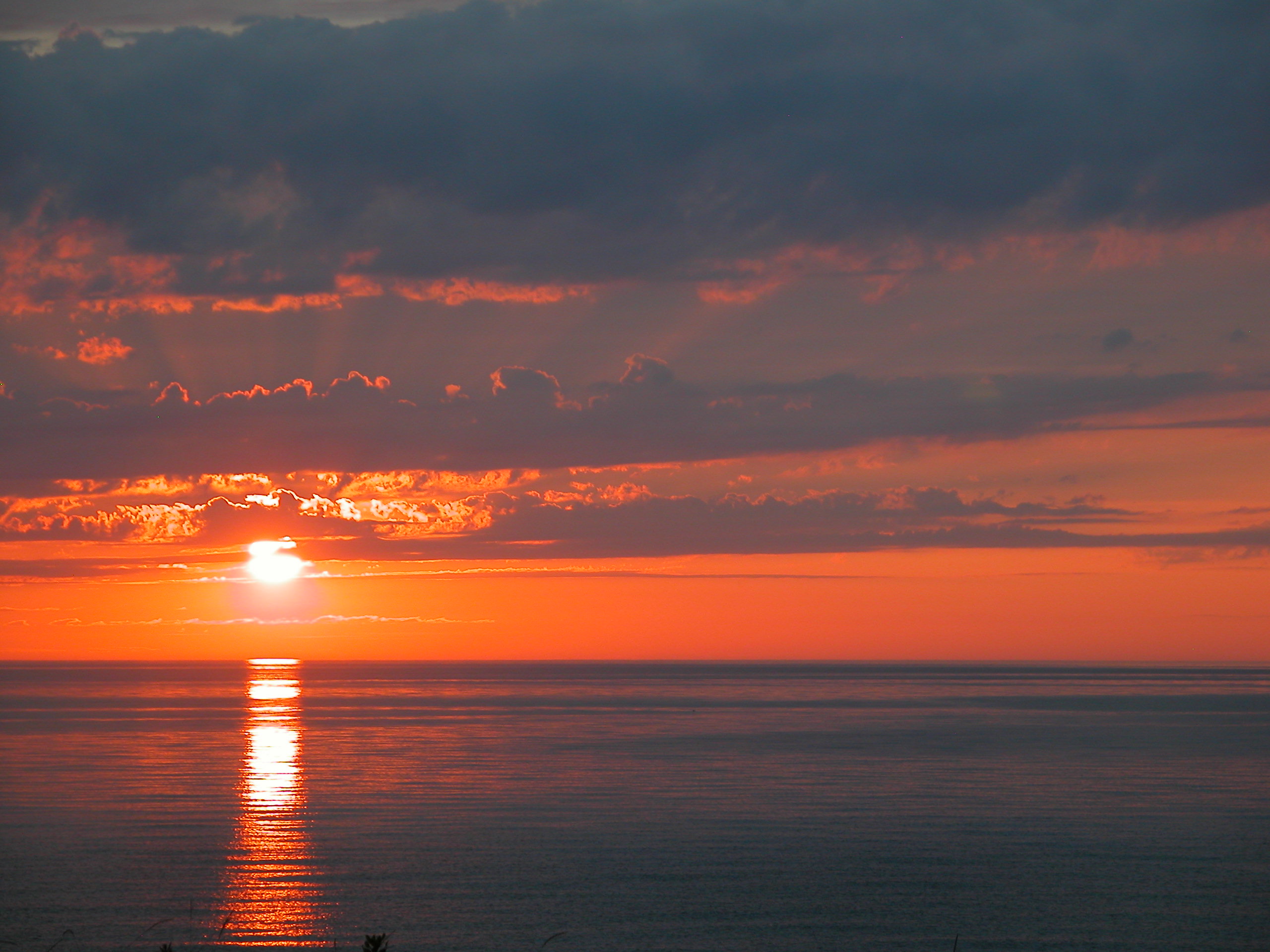
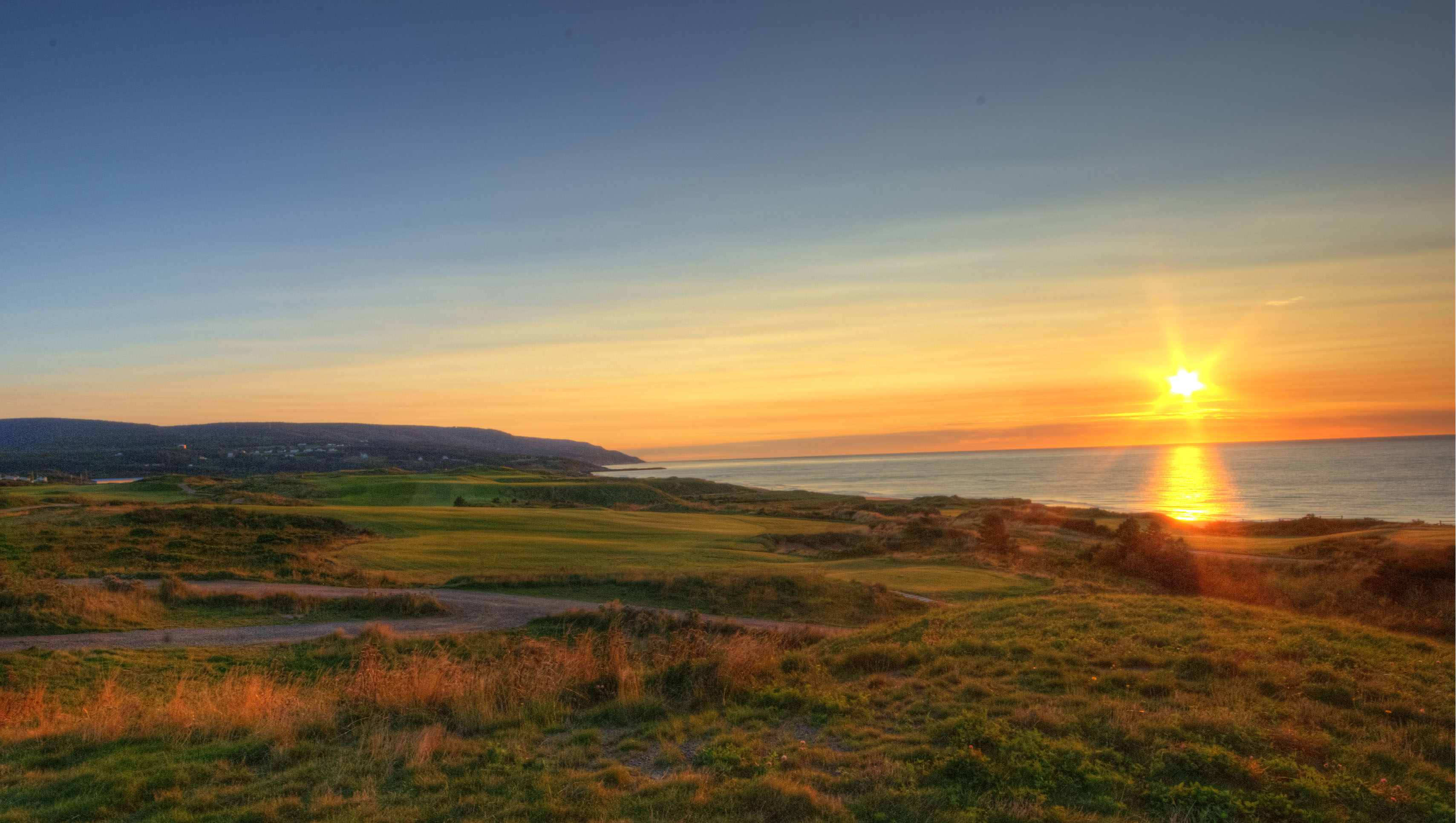
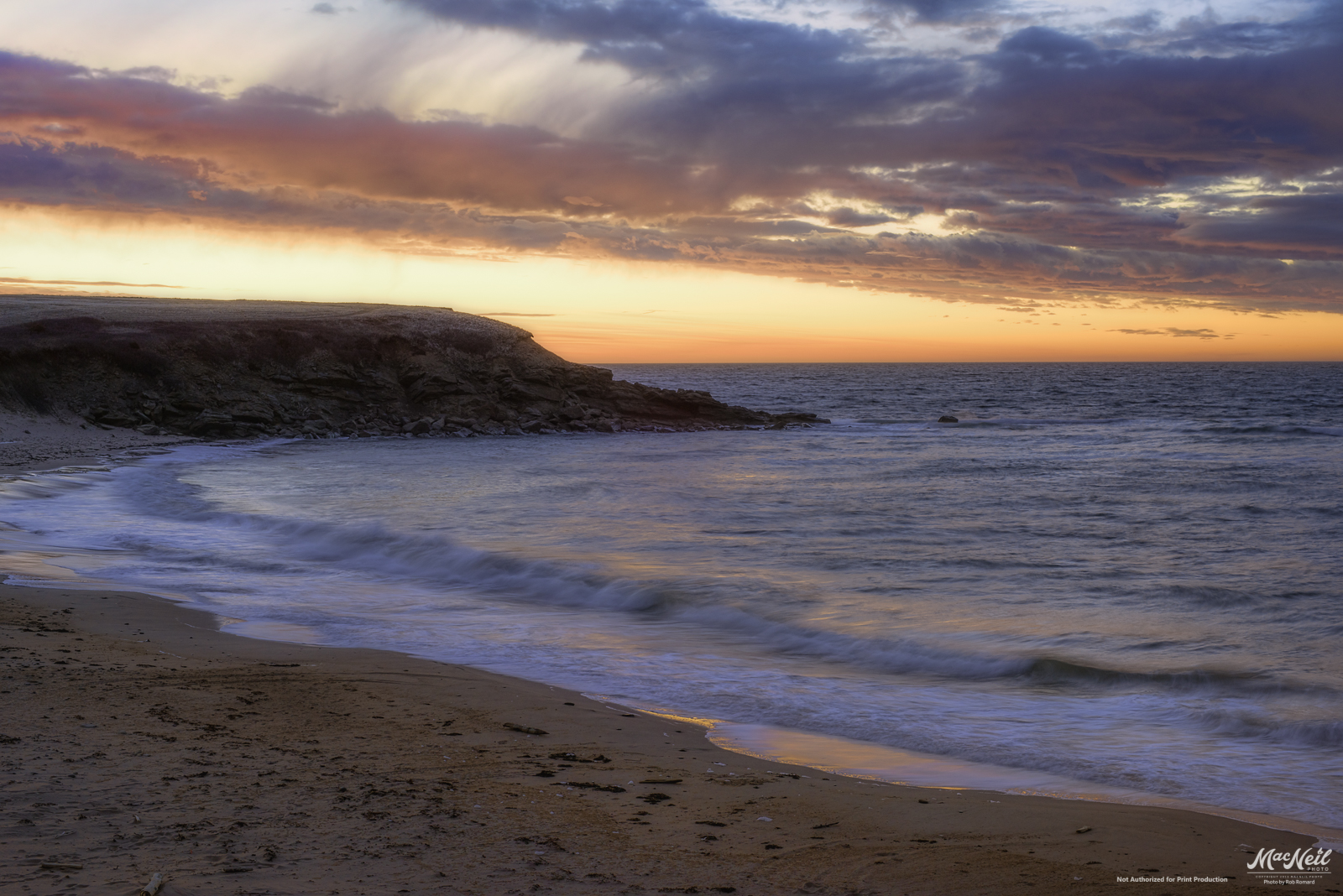
Cape Breton Sunset
Cape Breton Sunset

Inverness NS - Beach, Late Afternoon - September 1978
sunset next to Sea Wolf Island this evening

Raindrops in a Pond near Phillips Mountain
rolling hills
cabot-2-sunset

130907-154023.jpg

Rain Clouds Building
Whale Cove
Whale Cove
Rural Nova Scotia
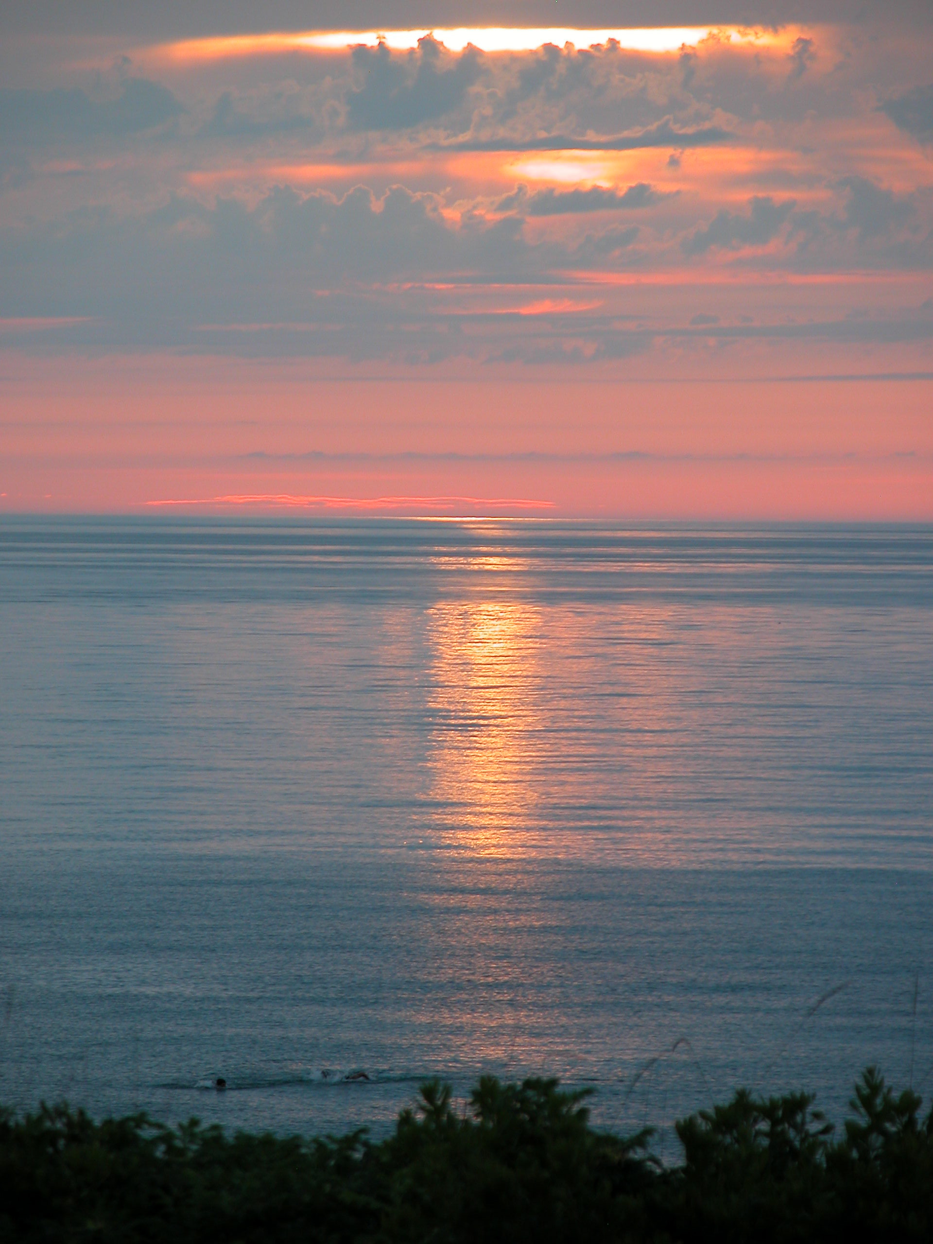
Whale Cove after sunset last night
Topographic Map of Shore Rd, Inverness, NS B0E 1N0, Canada
Find elevation by address:

Places near Shore Rd, Inverness, NS B0E 1N0, Canada:
Kauzmann Trail
60 Shore Rd, South West Margaree, NS B0E 3H0, Canada
Campbellton Road
30 Broad Cove Marsh Rd, Inverness, NS B0E 1N0, Canada
2101 Shore Rd
South West Margaree
72 Forest St
Inverness
Mann Avenue
Cameron Drive
NS-, Scotsville, NS B0E 3E0, Canada
Nova Scotia Trunk 19, Inverness, NS B0E 1N0, Canada
Strathlorne Scotsville Rd, Inverness, NS B0E 1N0, Canada
Strathlorne Scotsville Rd, Scotsville, NS B0E 3E0, Canada
Scotsville
E Margaree Rd, Margaree Valley, NS B0E 2C0, Canada
115 Pipers Glen Rd
Inverness County
Ceilidh Trail, Inverness, NS B0E 1N0, Canada
Broad Cove Banks Rd, Inverness, NS B0E 1N0, Canada
Recent Searches:
- Elevation of Corso Fratelli Cairoli, 35, Macerata MC, Italy
- Elevation of Tallevast Rd, Sarasota, FL, USA
- Elevation of 4th St E, Sonoma, CA, USA
- Elevation of Black Hollow Rd, Pennsdale, PA, USA
- Elevation of Oakland Ave, Williamsport, PA, USA
- Elevation of Pedrógão Grande, Portugal
- Elevation of Klee Dr, Martinsburg, WV, USA
- Elevation of Via Roma, Pieranica CR, Italy
- Elevation of Tavkvetili Mountain, Georgia
- Elevation of Hartfords Bluff Cir, Mt Pleasant, SC, USA