Elevation of Shore Rd, Margaree, NS B0E 1Y0, Canada
Location: Canada > Nova Scotia > Inverness County > Inverness, Subd. A > Margaree Centre >
Longitude: -61.170276
Latitude: 46.3753844
Elevation: 42m / 138feet
Barometric Pressure: 101KPa
Elevation Map:
Satellite Map:
Related Photos:

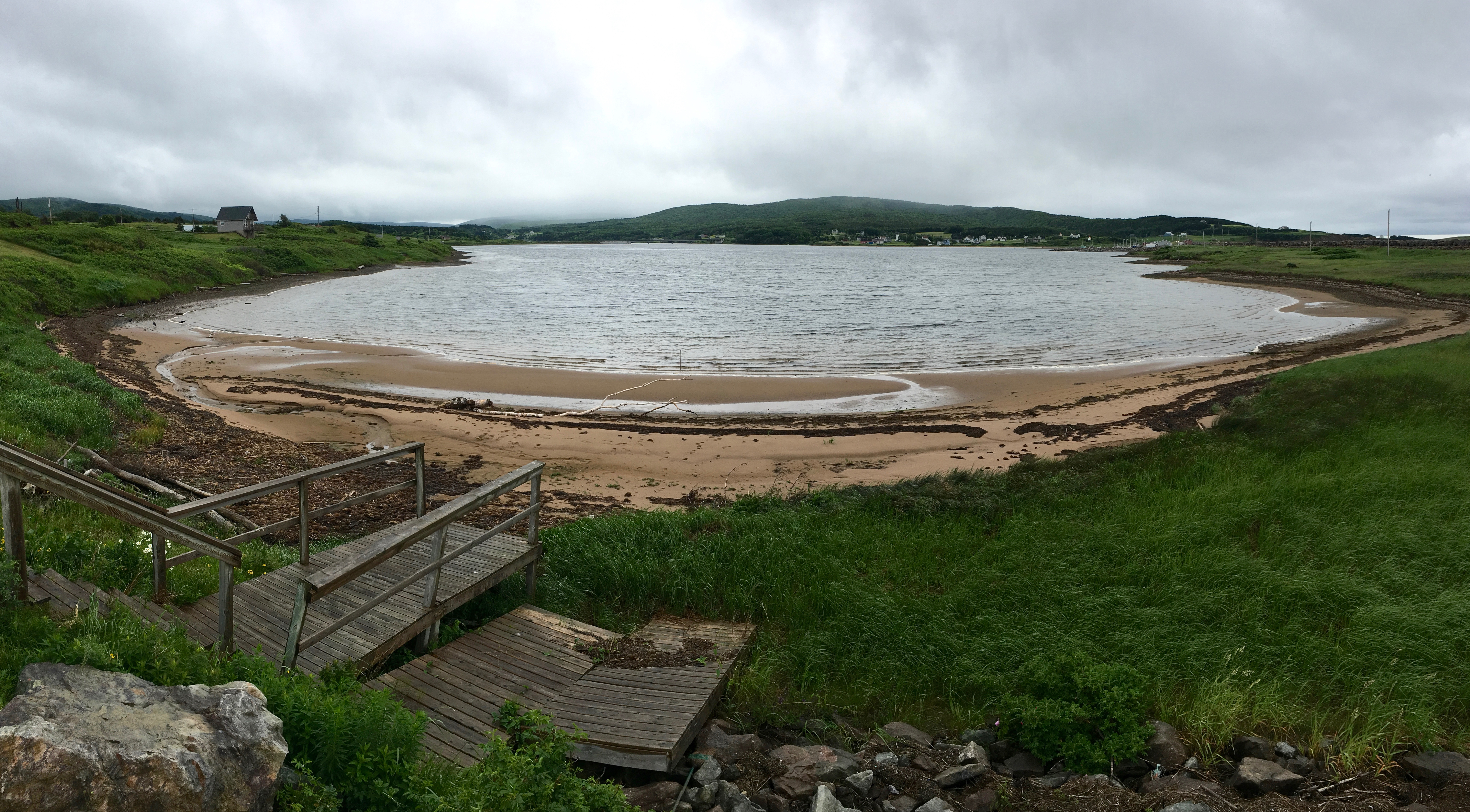
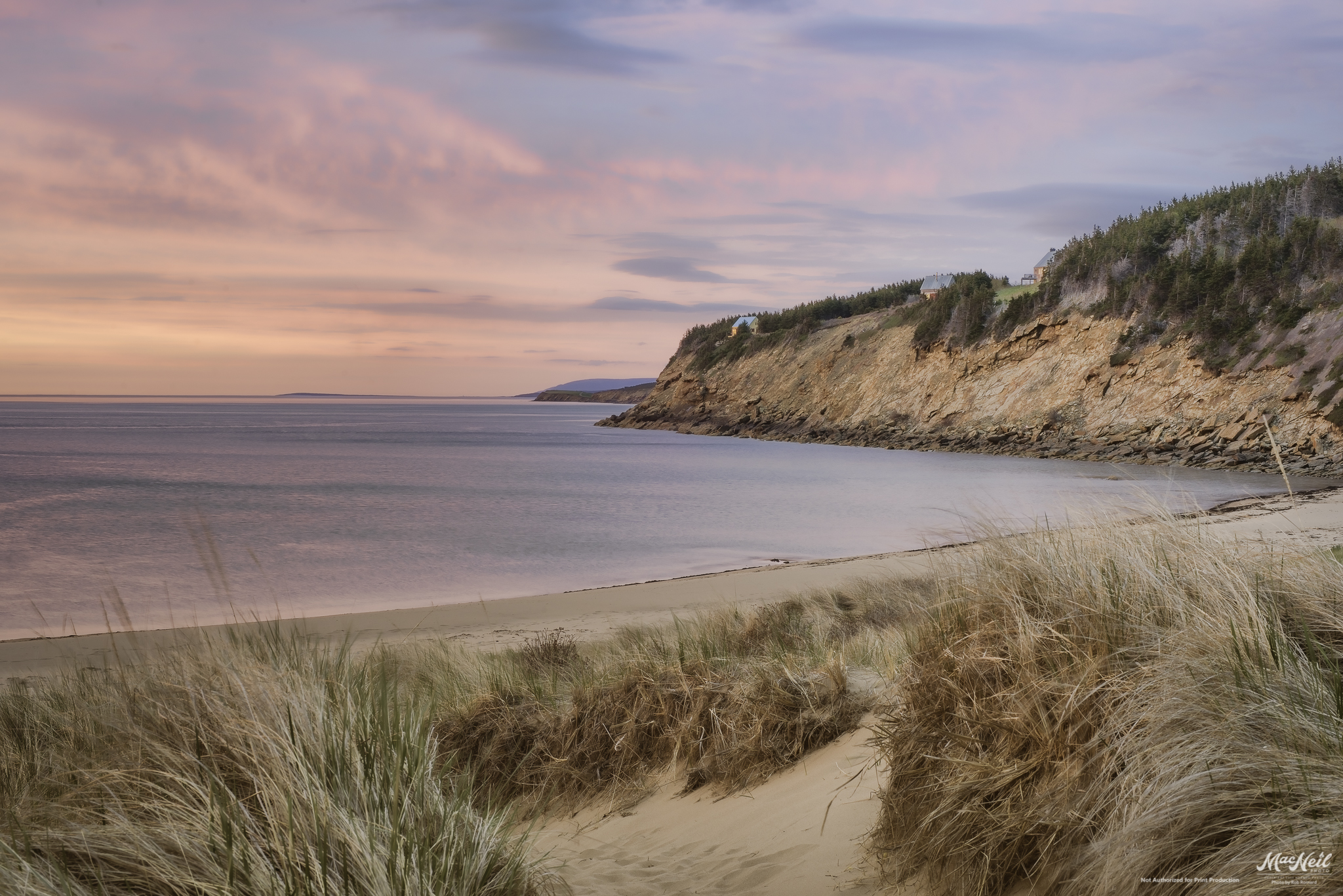
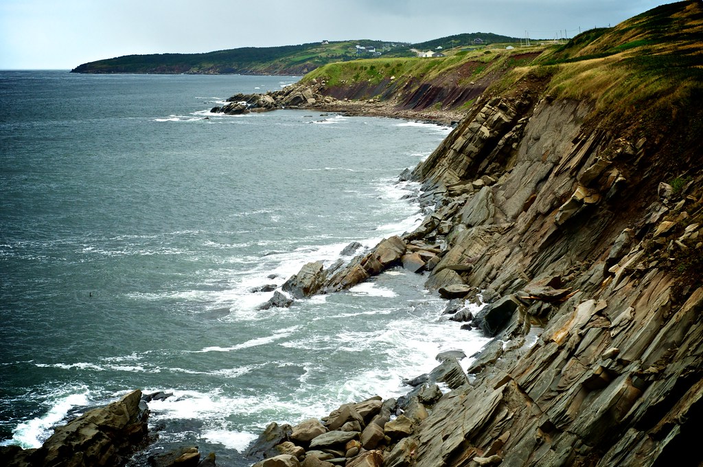
Whale Cove view
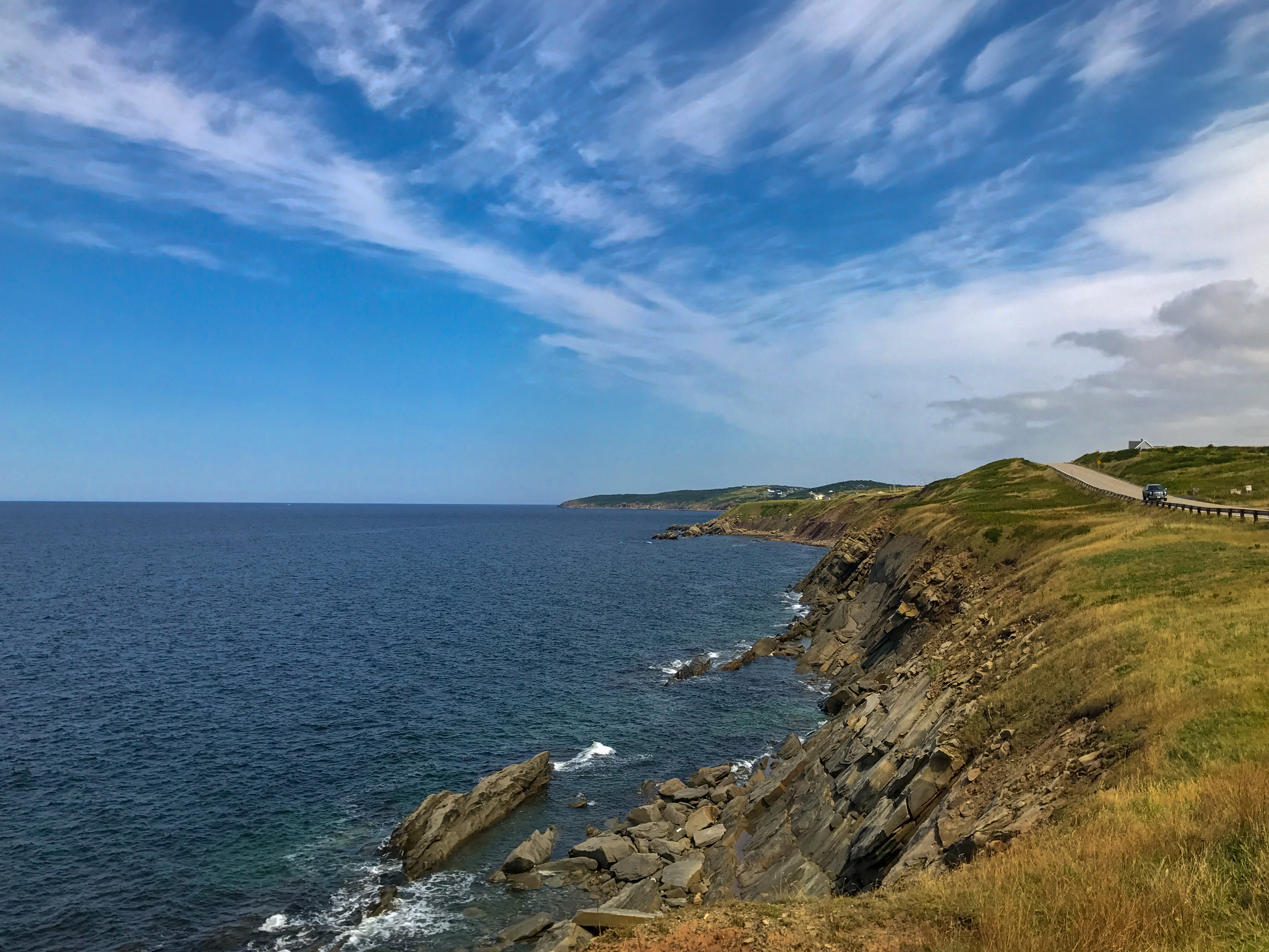
Cabot Trail Nova Scotia Canada IMG_2899.jpg
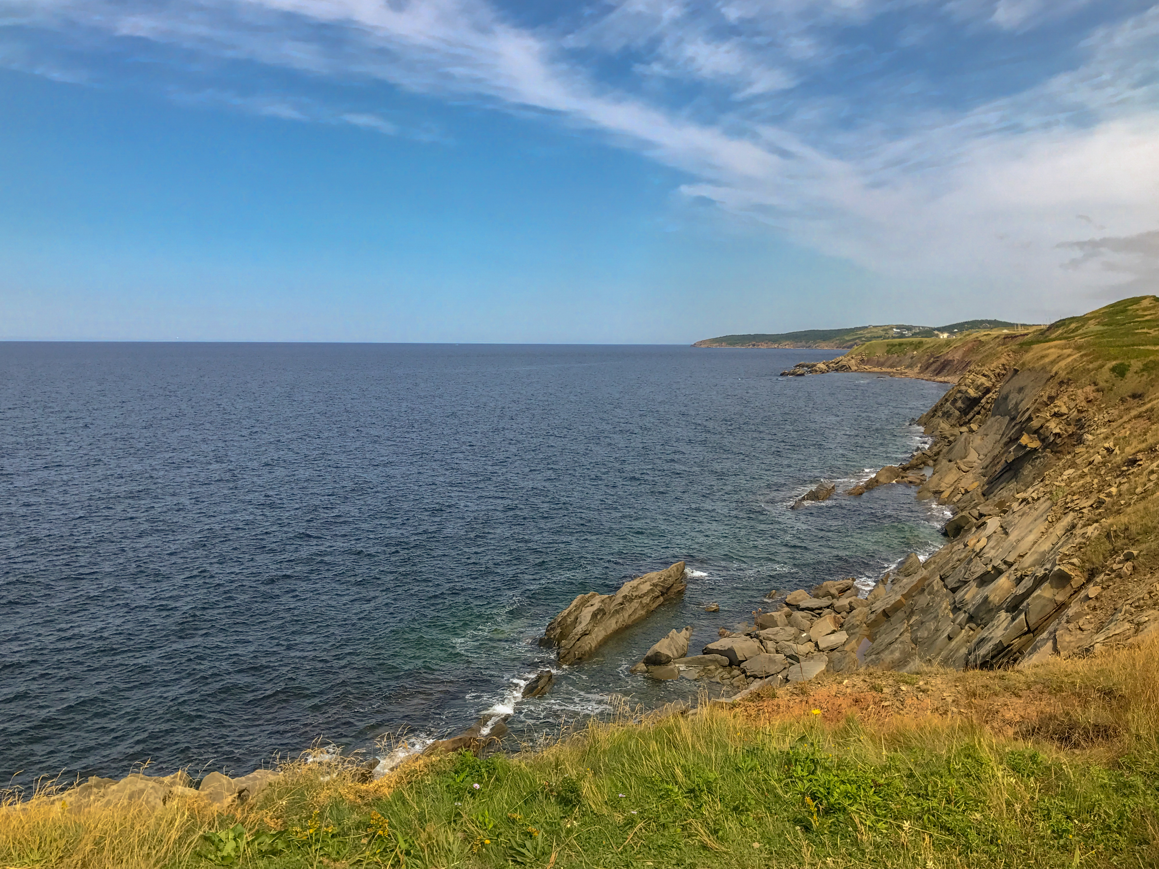
Cabot Trail Nova Scotia Canada IMG_2901.jpg
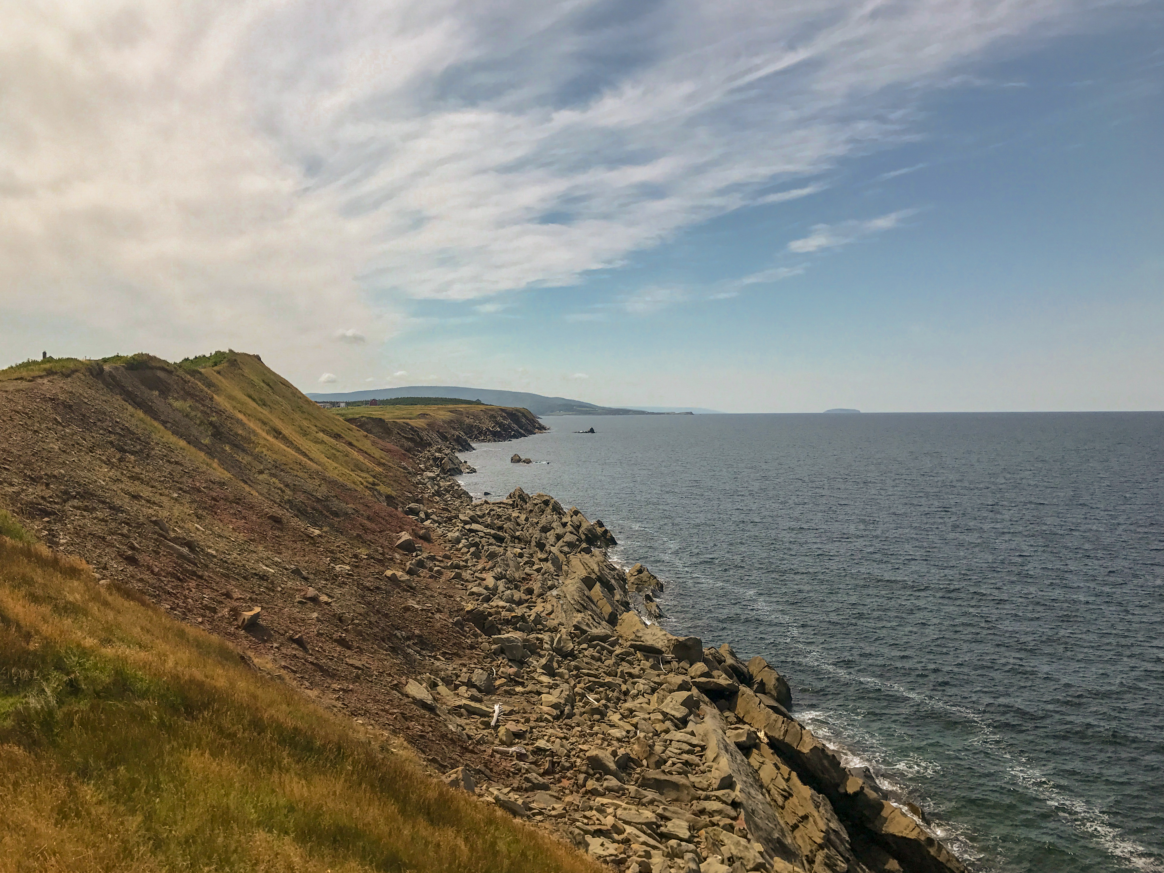
Cabot Trail Nova Scotia Canada IMG_2897 2.jpg
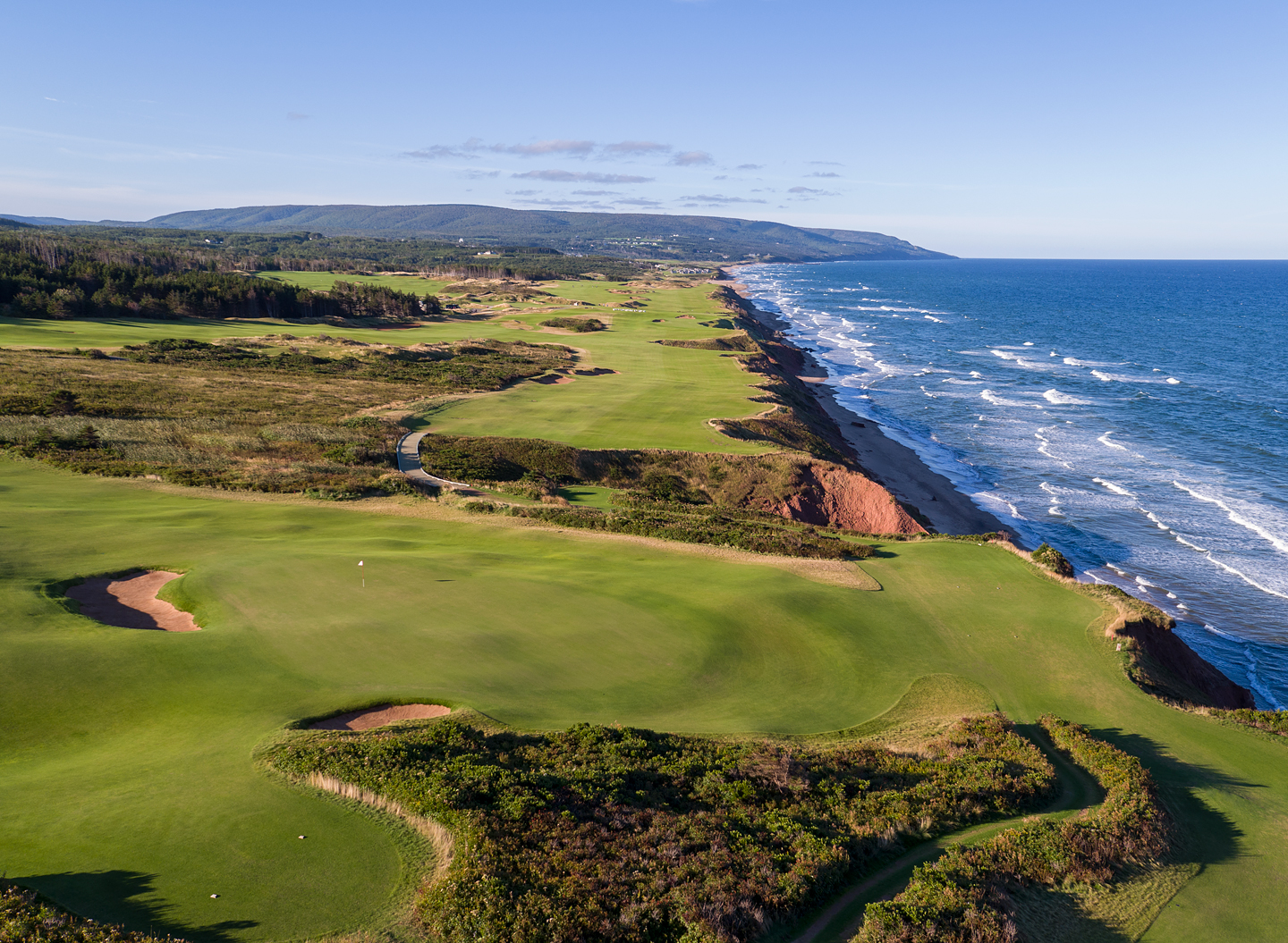
18th Hole, Cabot Cliffs
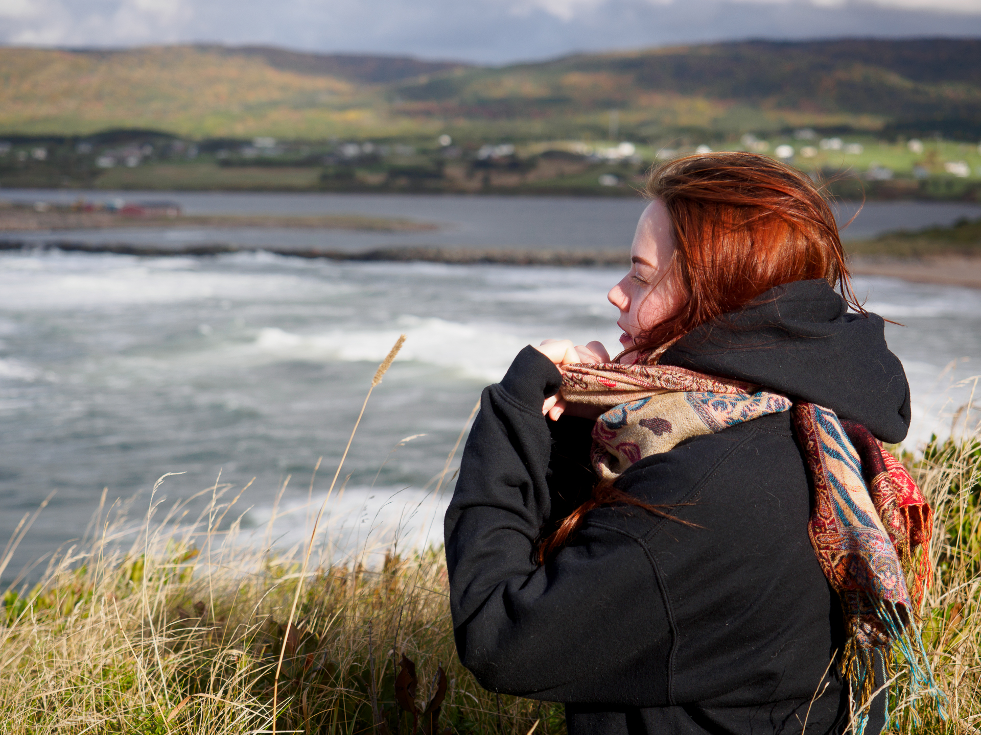
View from the Lobster Pound
5.05
DGJ_4502 - Margaree Harbour Range Lights
sunset next to Sea Wolf Island this evening
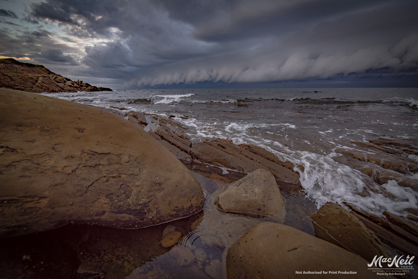
just as the rain starts
sunset over the banks of Terre Noire

a small Aurora at the end of the Margaree River
Evening Drive on Cape Breton
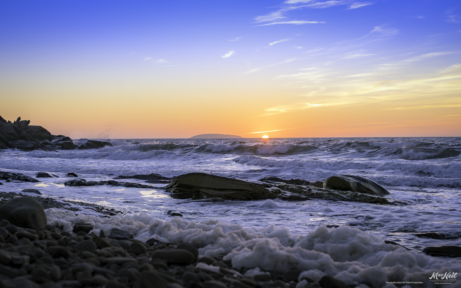
Cheticamp Sunset
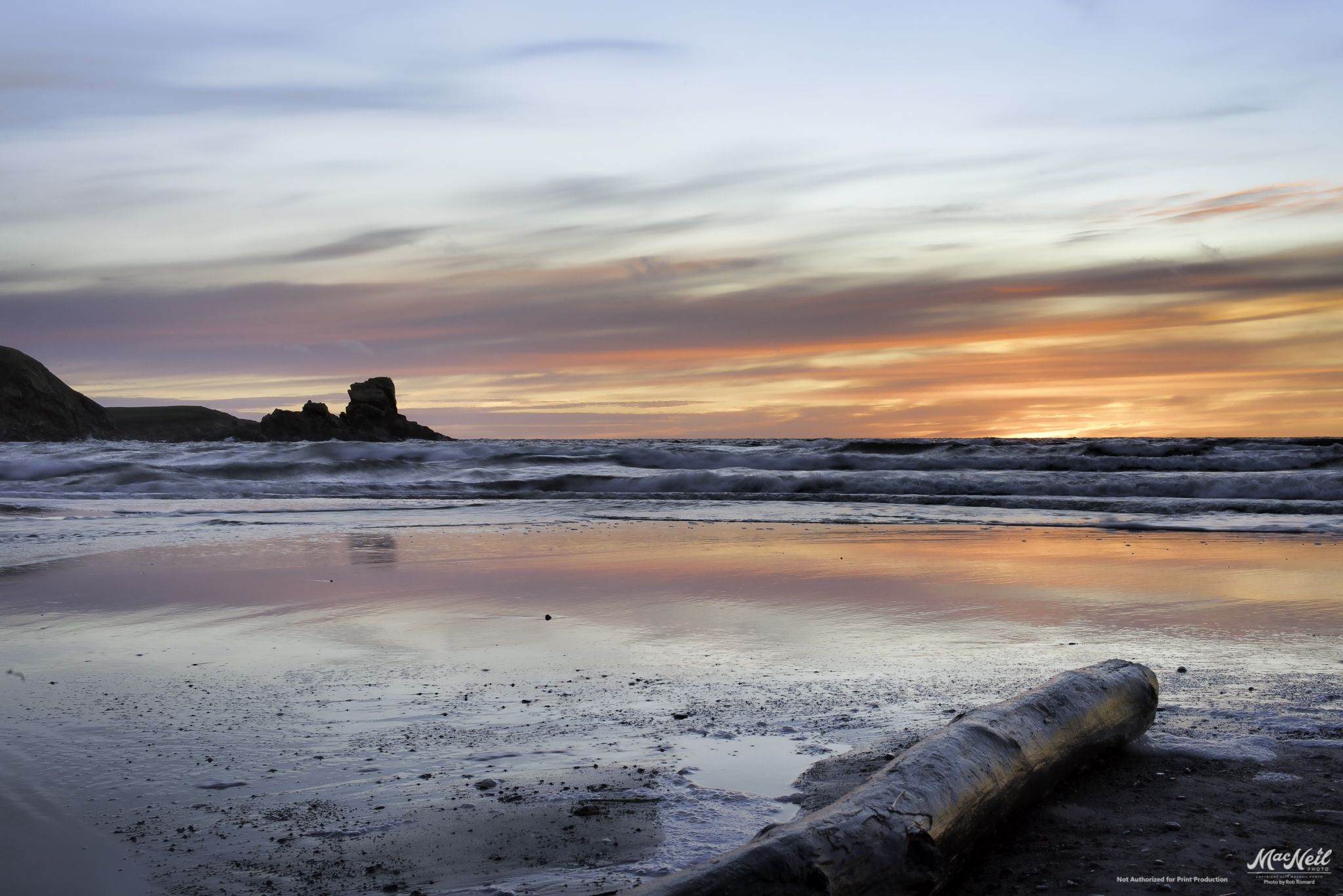
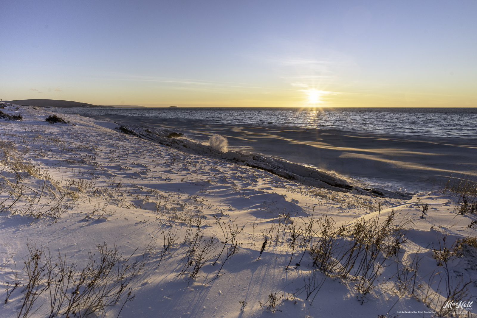
MacKinnon's Beach after sunset tonight

Whale Cove Cemetery
Chimney Corner
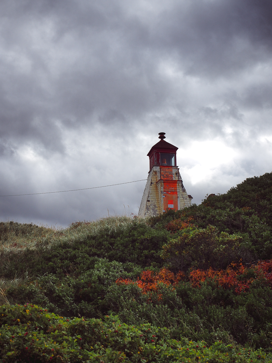
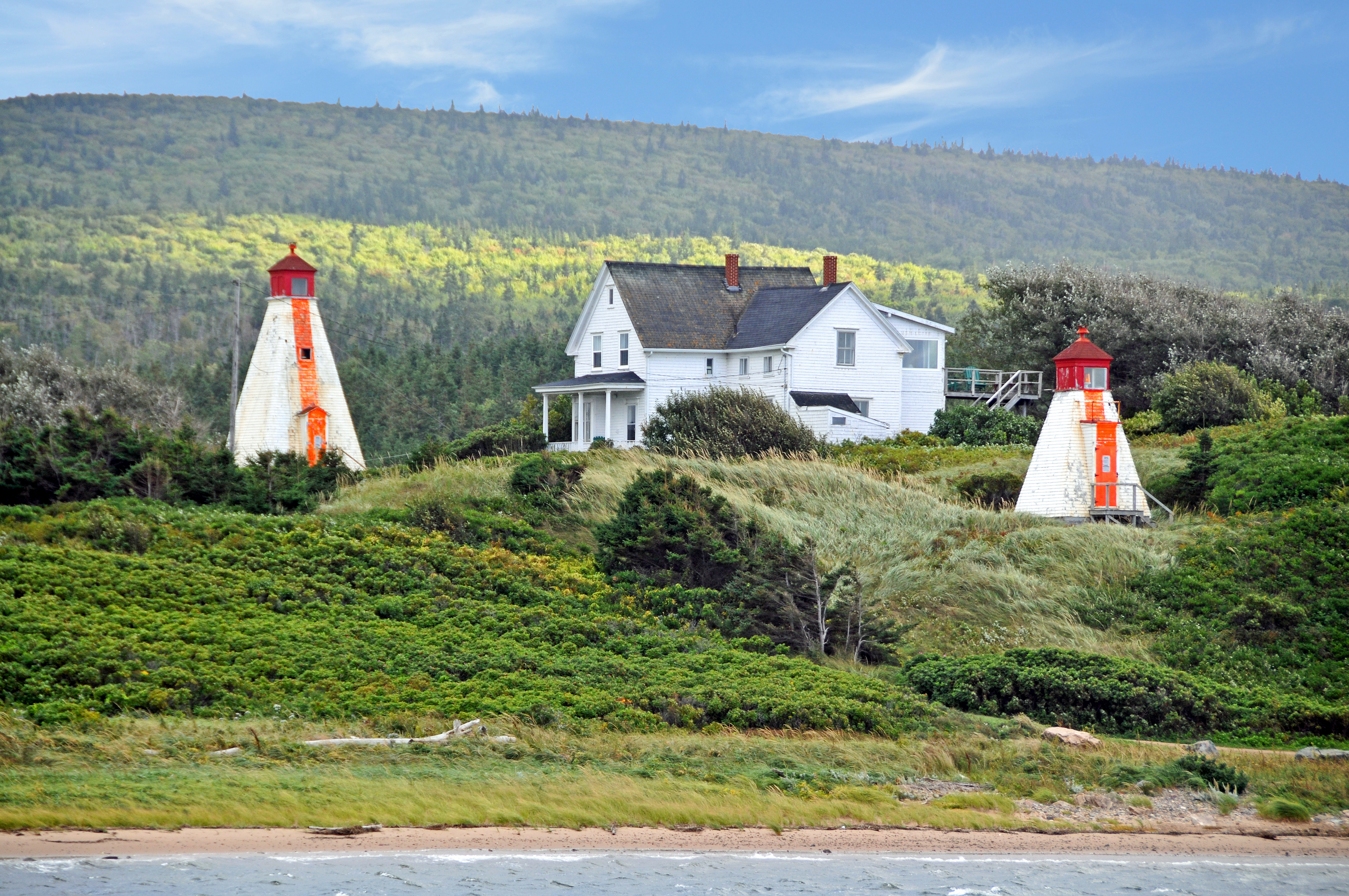
Margaree Lighthouse

Cabot Trail Near Cheticamp Nova Scotia Canada.jpg
051913-544F
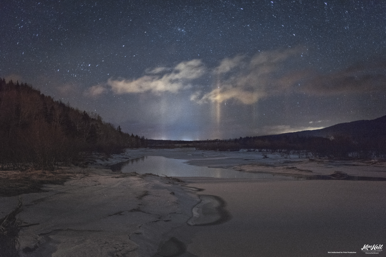
Ice Pillars lighting up the Margaree River
Kanada 2017
Margaree Harbour
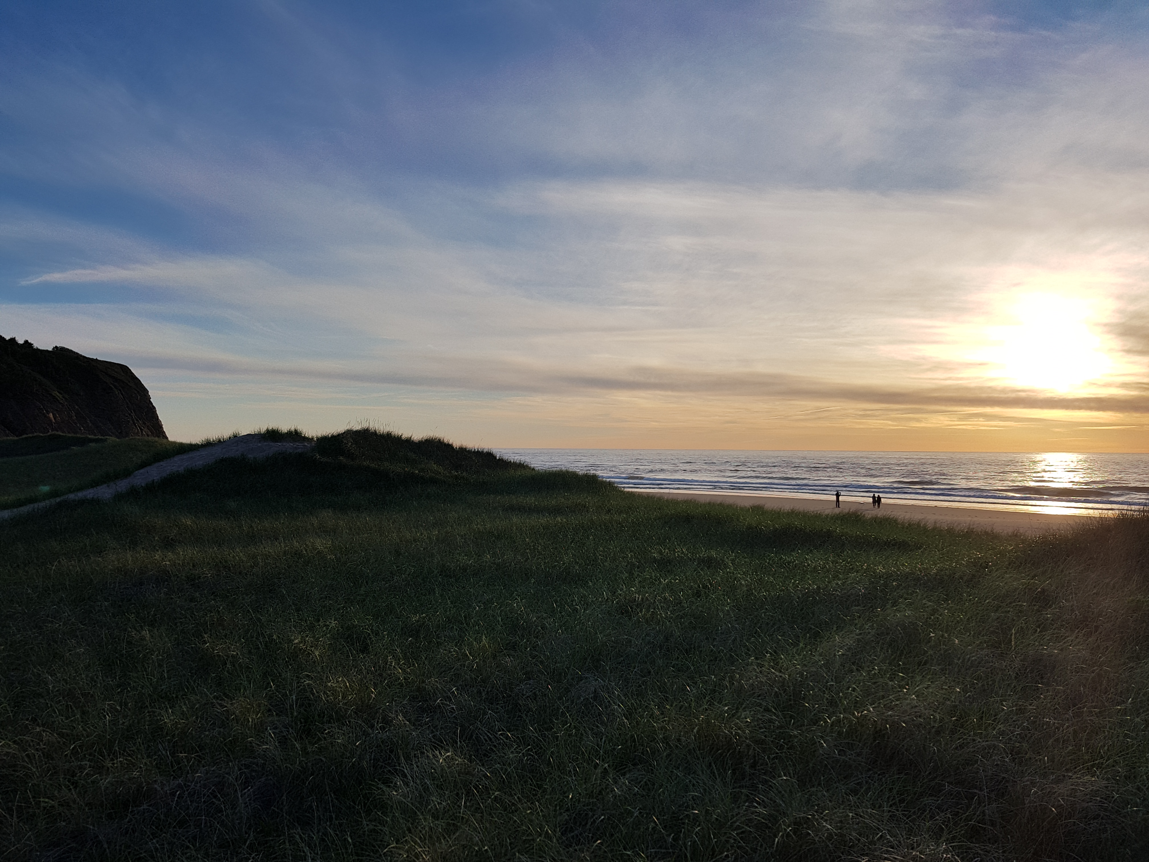
Belle Cote Beach
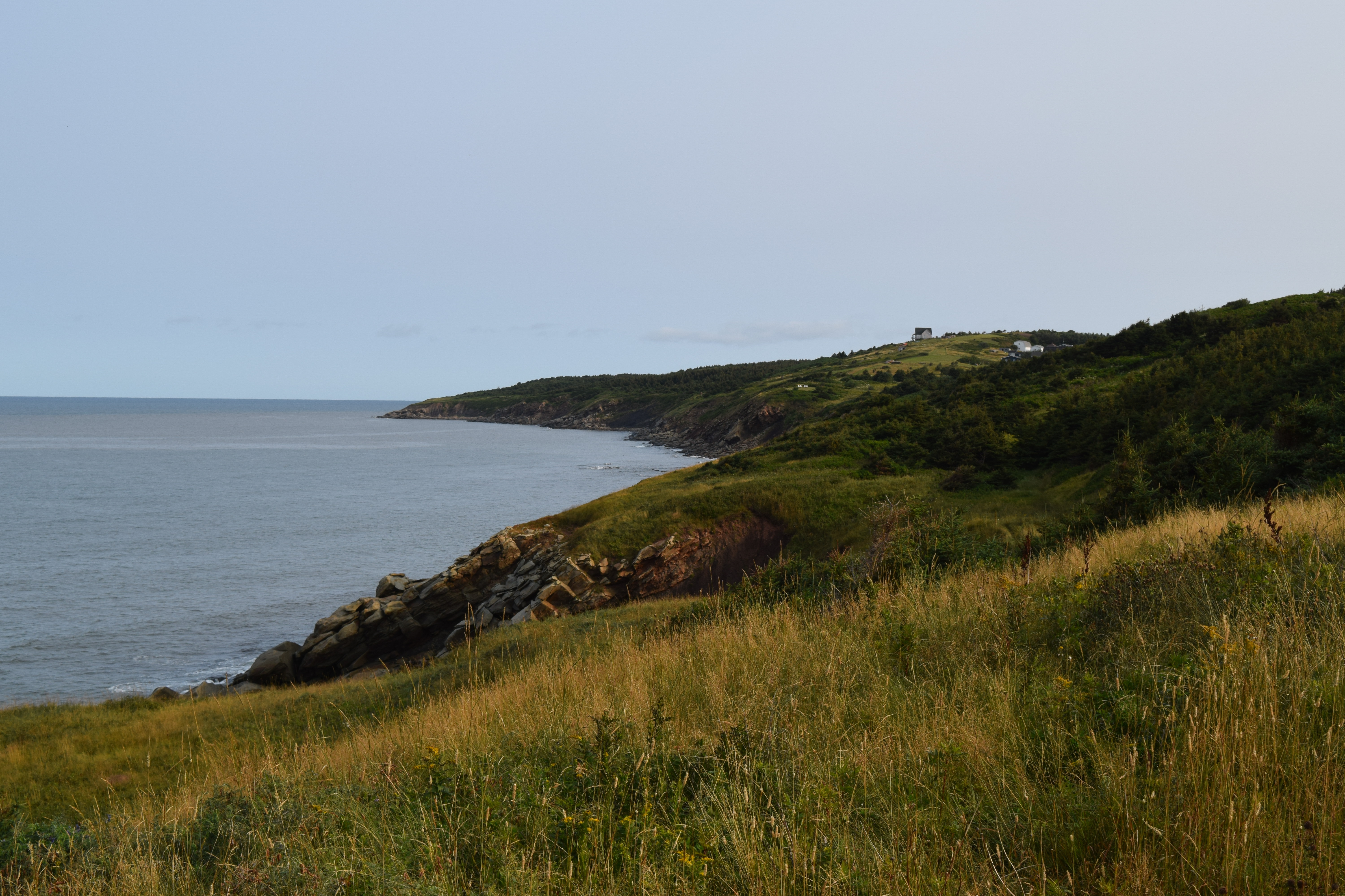
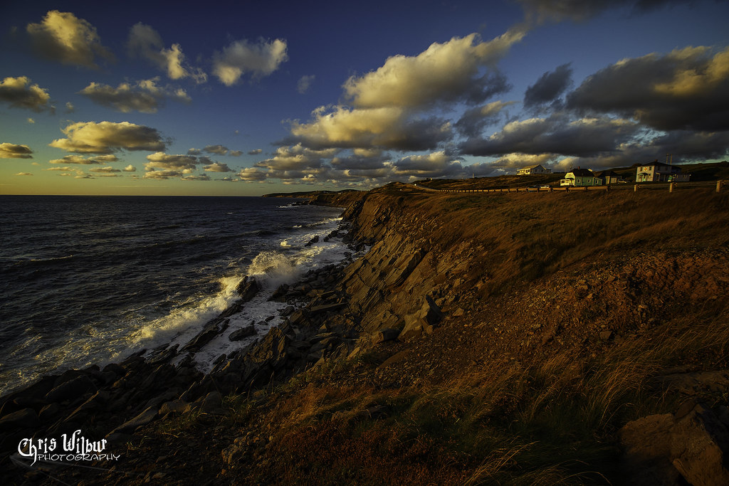
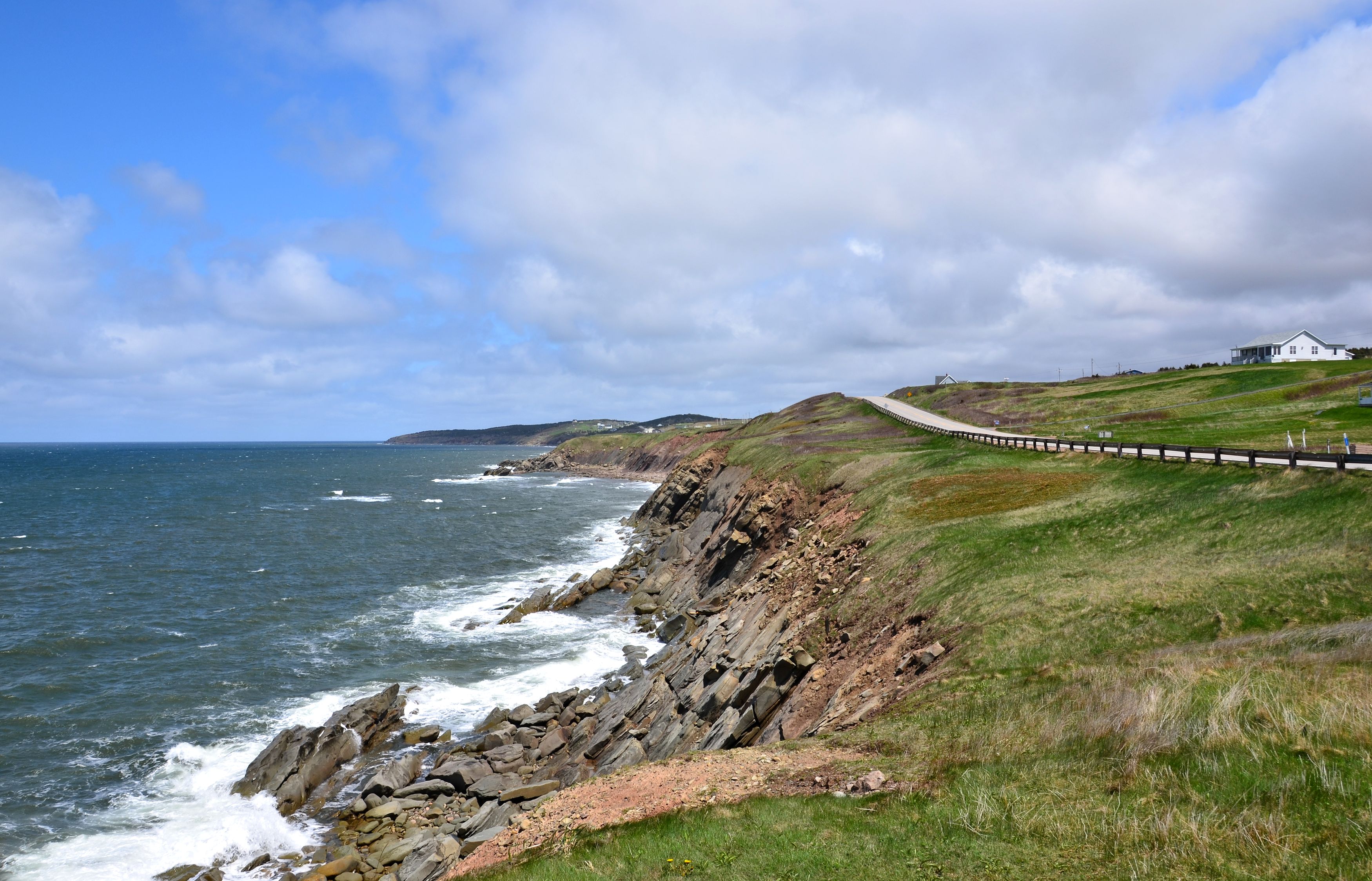
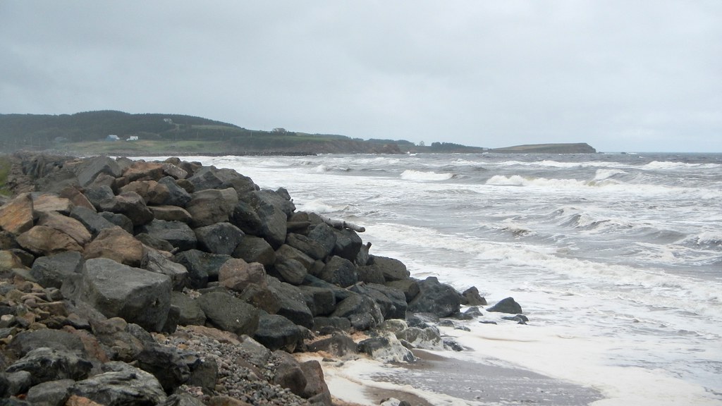
Cape Breton Coastal

130907-154023.jpg
Topographic Map of Shore Rd, Margaree, NS B0E 1Y0, Canada
Find elevation by address:

Places near Shore Rd, Margaree, NS B0E 1Y0, Canada:
Shore Rd, Inverness, NS B0E 1N0, Canada
Kauzmann Trail
E Margaree Rd, Margaree Valley, NS B0E 2C0, Canada
60 Shore Rd, South West Margaree, NS B0E 3H0, Canada
South West Margaree
Marsh Brook Road
Campbellton Road
Inverness County
30 Broad Cove Marsh Rd, Inverness, NS B0E 1N0, Canada
NS-, Scotsville, NS B0E 3E0, Canada
Marsh Brook Rd, Margaree Valley, NS B0E 2C0, Canada
North East Margaree
W Big Intervale Rd, Margaree Centre, NS B0E 1Z0, Canada
Margaree Centre
115 Pipers Glen Rd
Strathlorne Scotsville Rd, Scotsville, NS B0E 3E0, Canada
Scotsville
72 Forest St
Inverness
Mann Avenue
Recent Searches:
- Elevation of Corso Fratelli Cairoli, 35, Macerata MC, Italy
- Elevation of Tallevast Rd, Sarasota, FL, USA
- Elevation of 4th St E, Sonoma, CA, USA
- Elevation of Black Hollow Rd, Pennsdale, PA, USA
- Elevation of Oakland Ave, Williamsport, PA, USA
- Elevation of Pedrógão Grande, Portugal
- Elevation of Klee Dr, Martinsburg, WV, USA
- Elevation of Via Roma, Pieranica CR, Italy
- Elevation of Tavkvetili Mountain, Georgia
- Elevation of Hartfords Bluff Cir, Mt Pleasant, SC, USA