Elevation of Baddeck, NS, Canada
Location: Canada > Nova Scotia > Victoria County > Victoria, Subd. B >
Longitude: -60.754676
Latitude: 46.0999169
Elevation: 26m / 85feet
Barometric Pressure: 101KPa
Elevation Map:
Satellite Map:
Related Photos:
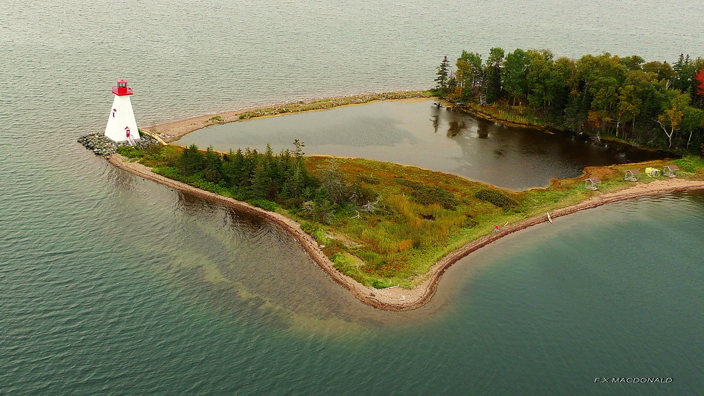
Kidston Island lighthouse, Baddeck, Nova Scotia #2
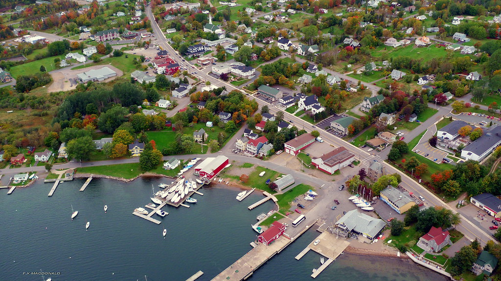
Baddeck ,Nova Scotia #2
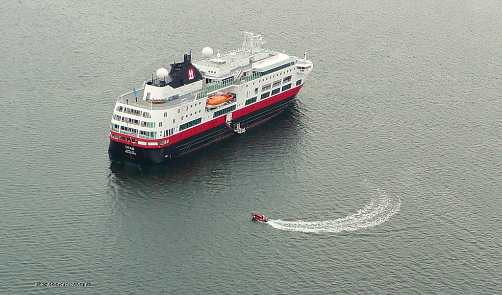
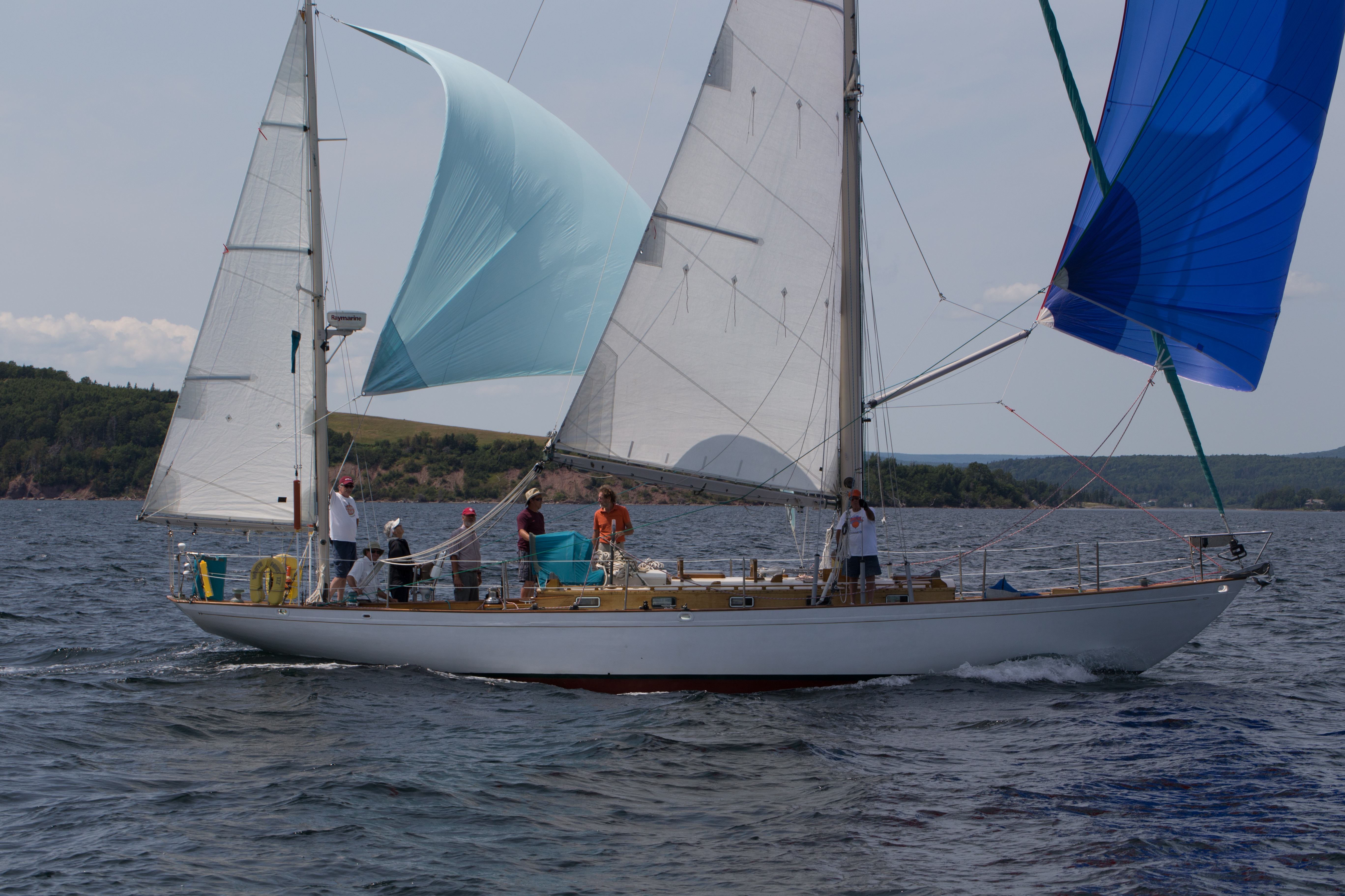
Cruise ship in Baddeck, Nova Scotia
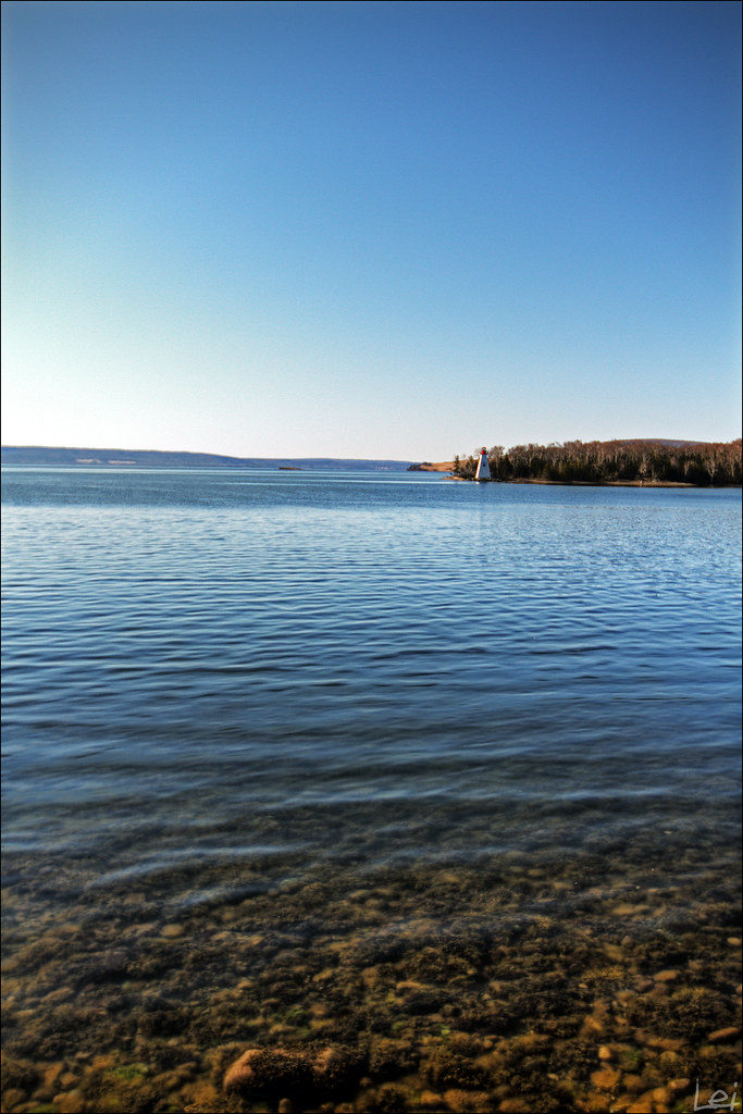
"a little lighthouse"
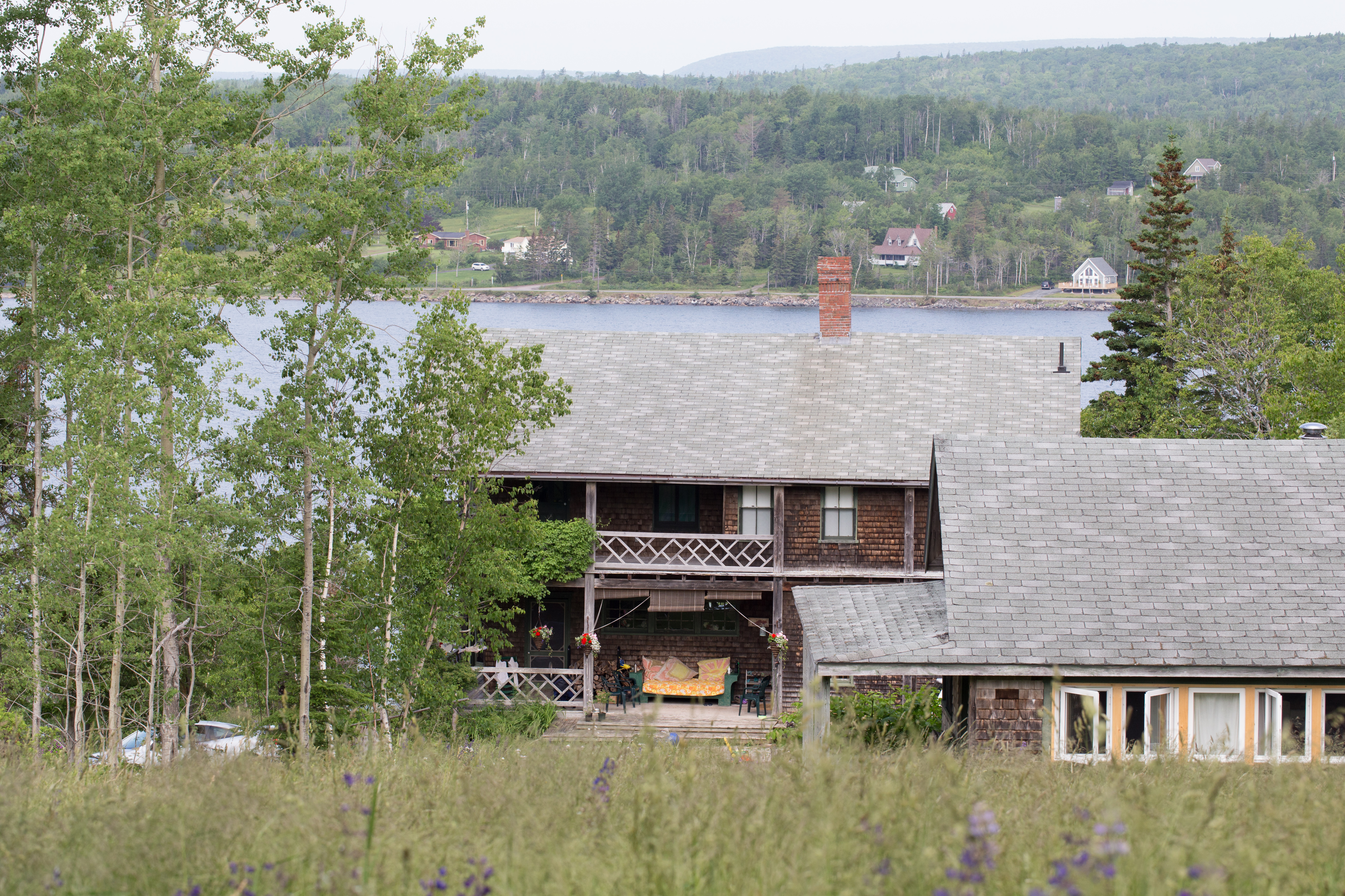
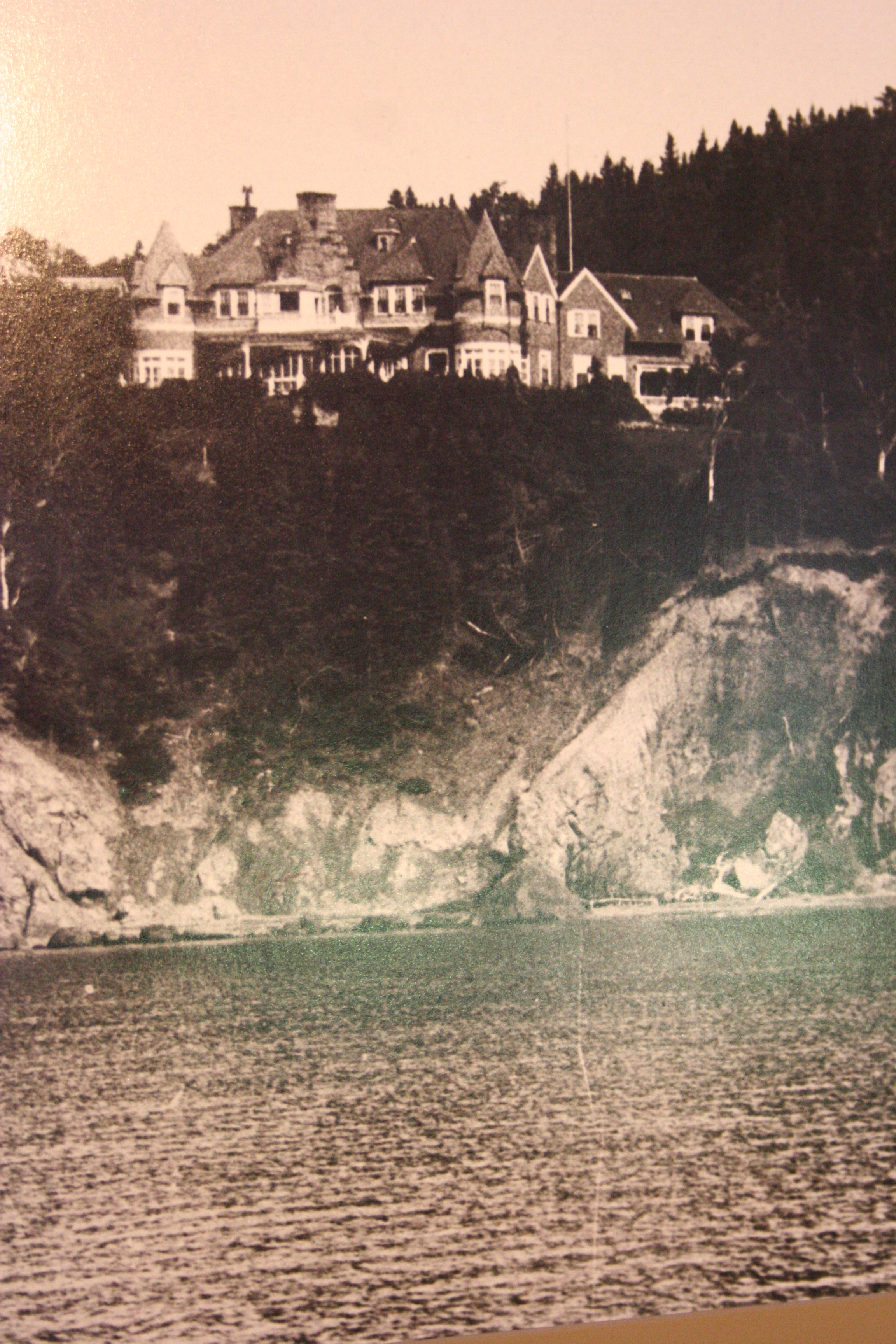
The Lodge and Pansy Cottage
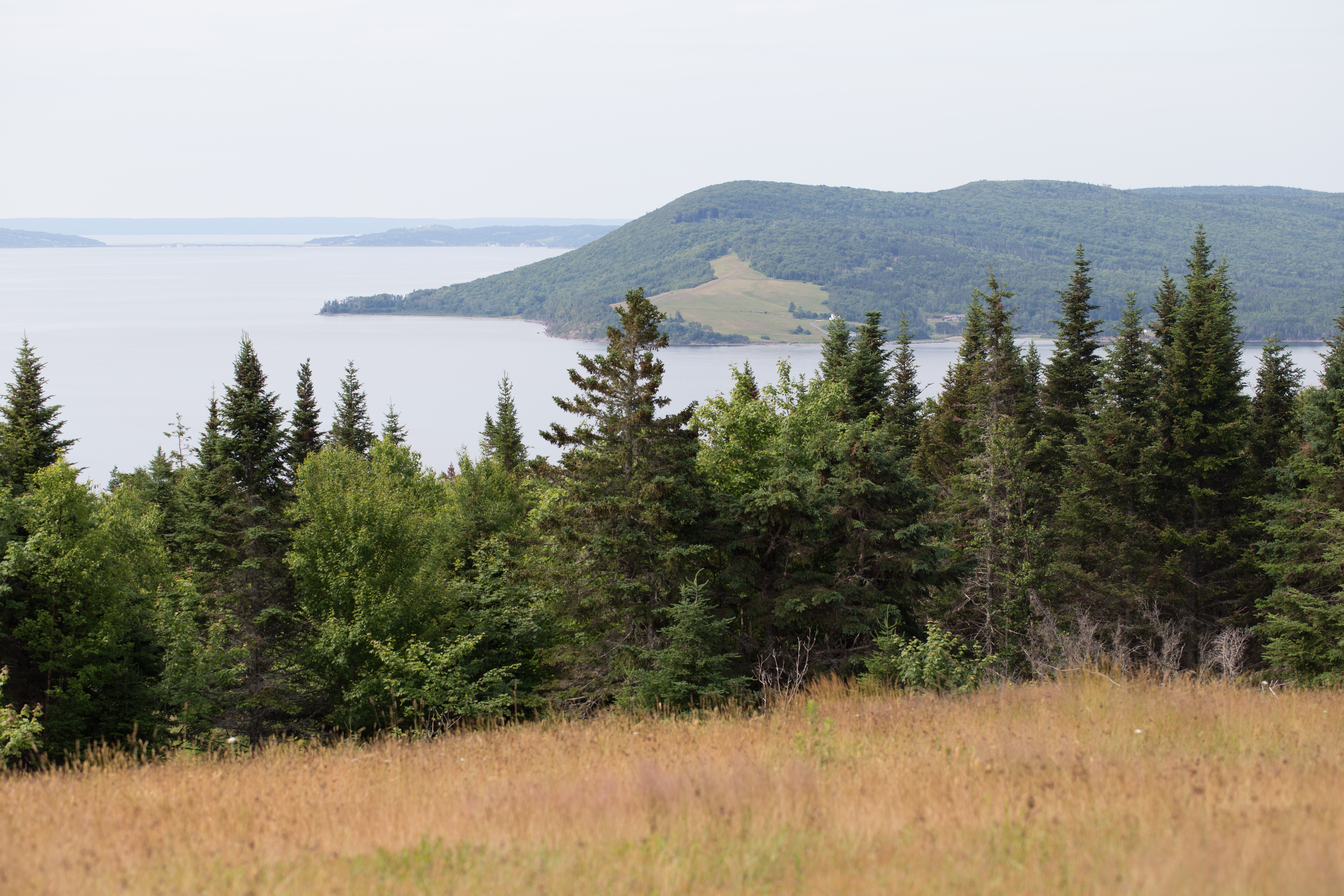
View of Lower Washabuck from the top
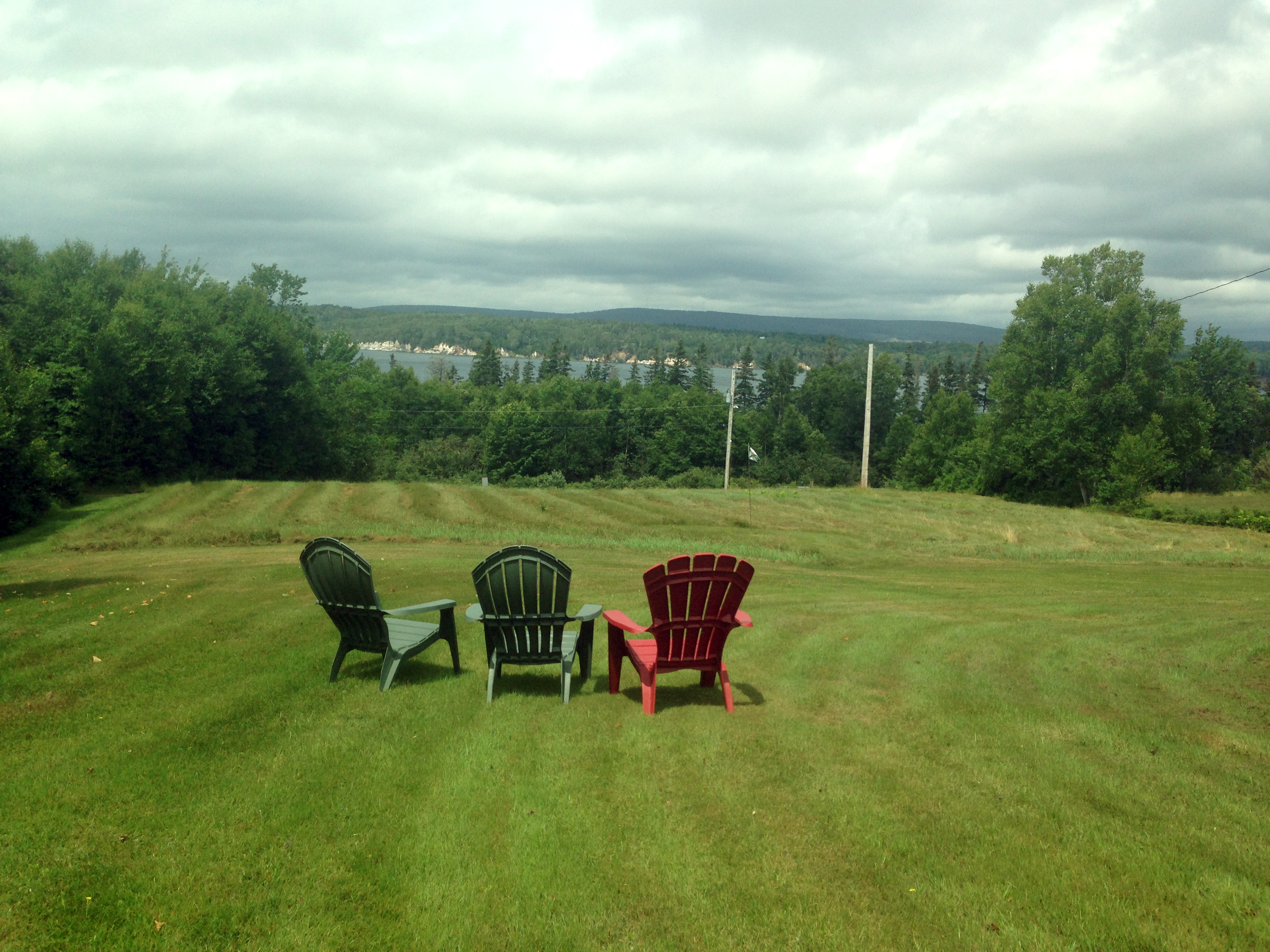
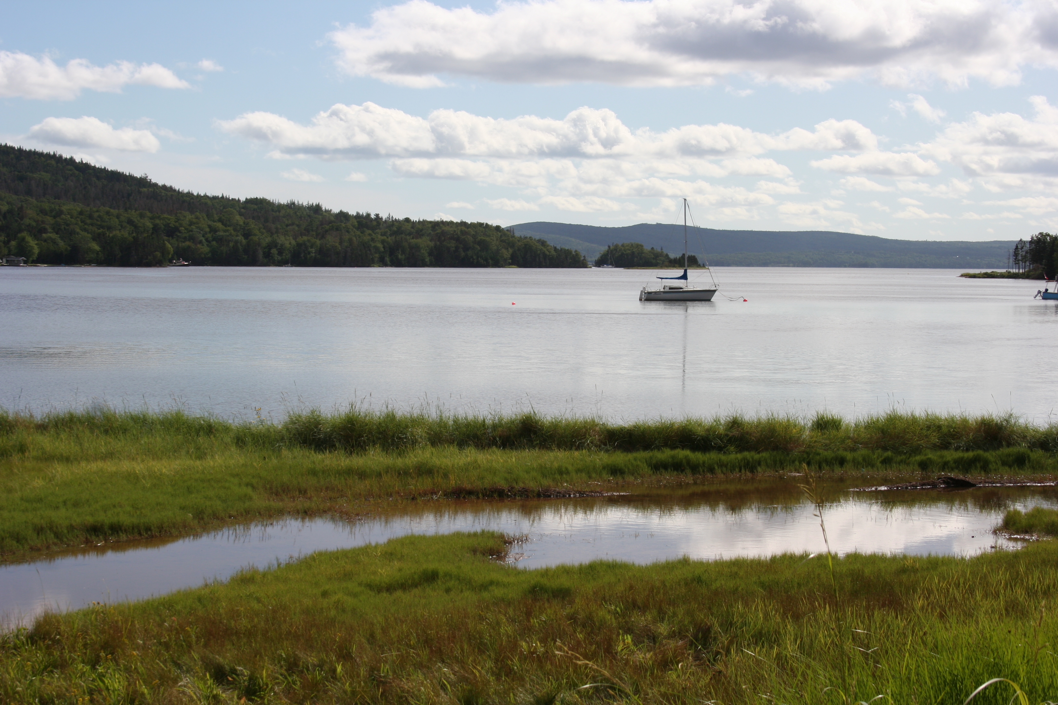
View across the Baddeck Bay

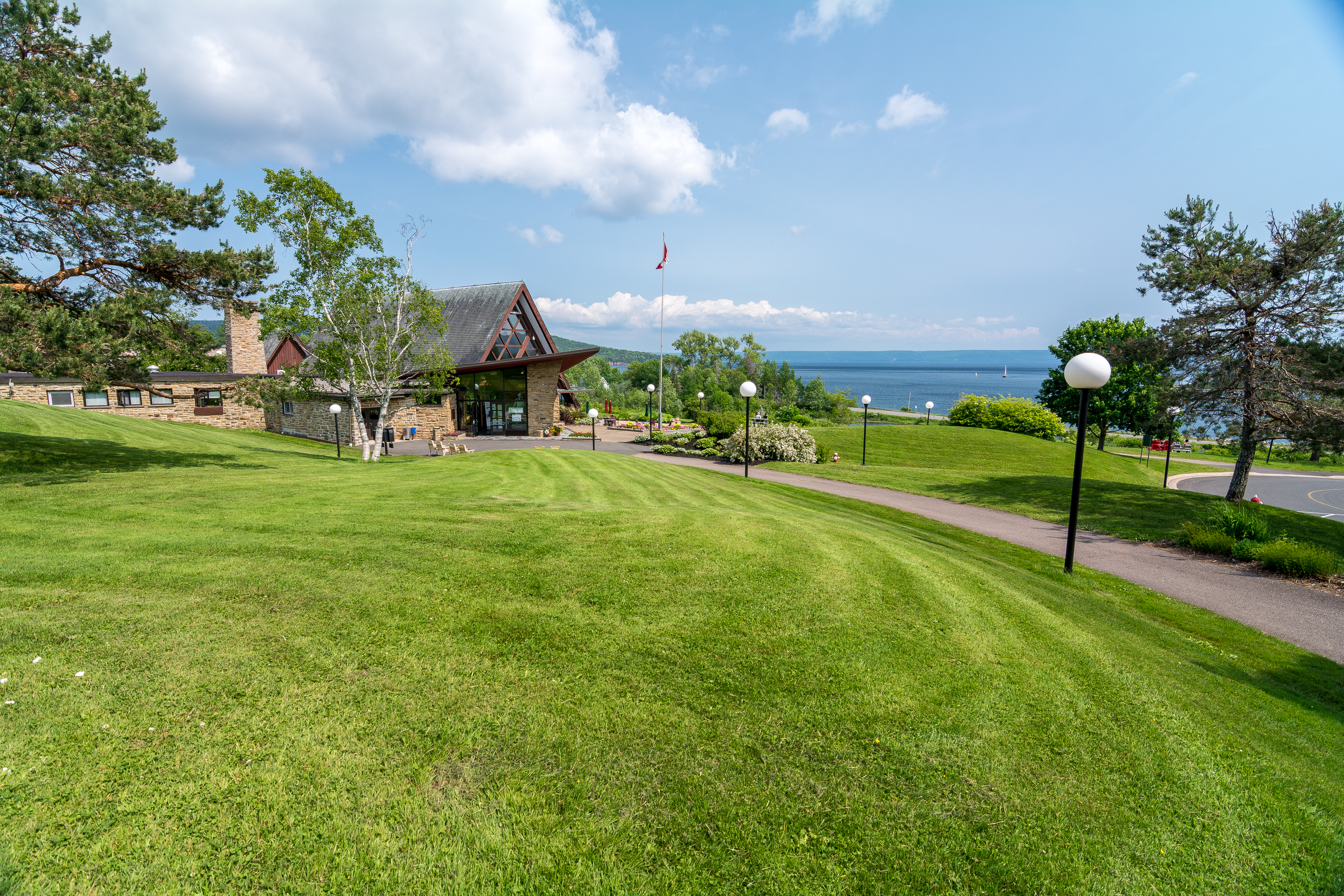
The view from Bell View Suites B&B
Romantic?
The White Mist from the side
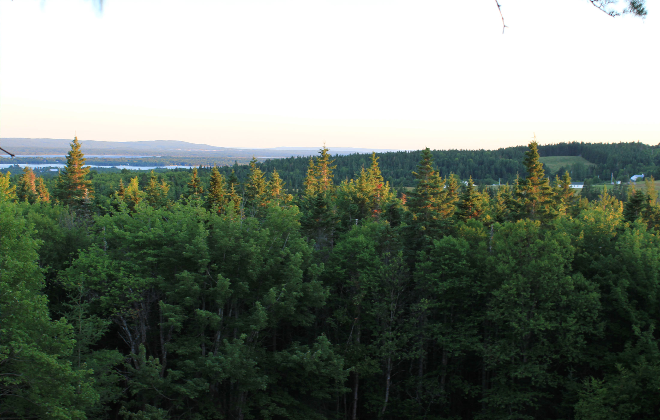
tree-canopy-view
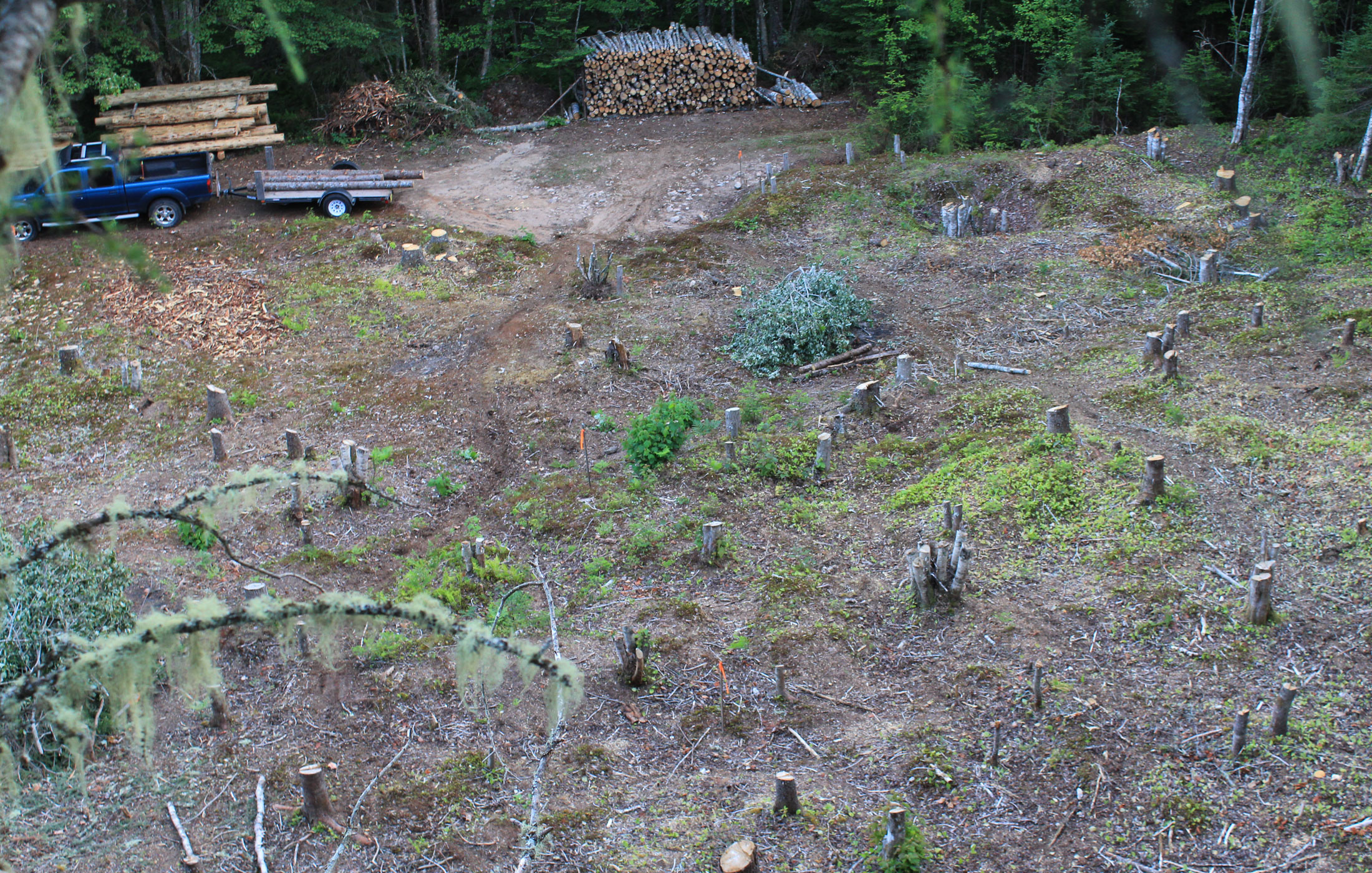
view from atop the root pile
ariel-view
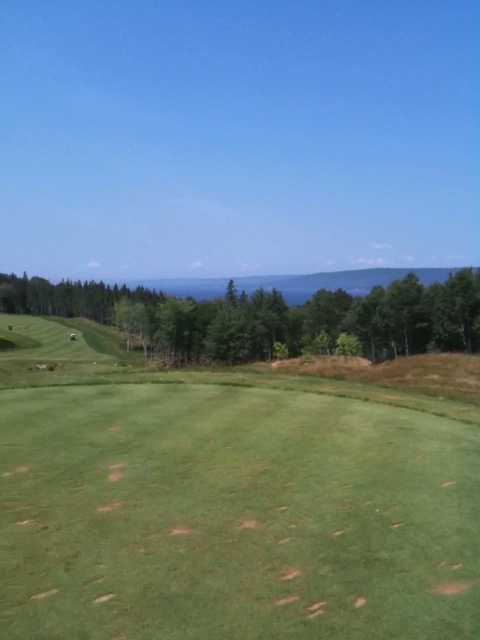
6th Hole, The Lakes at Ben Eoin

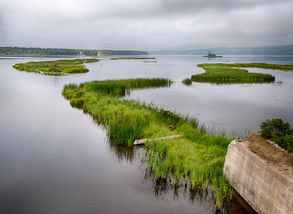
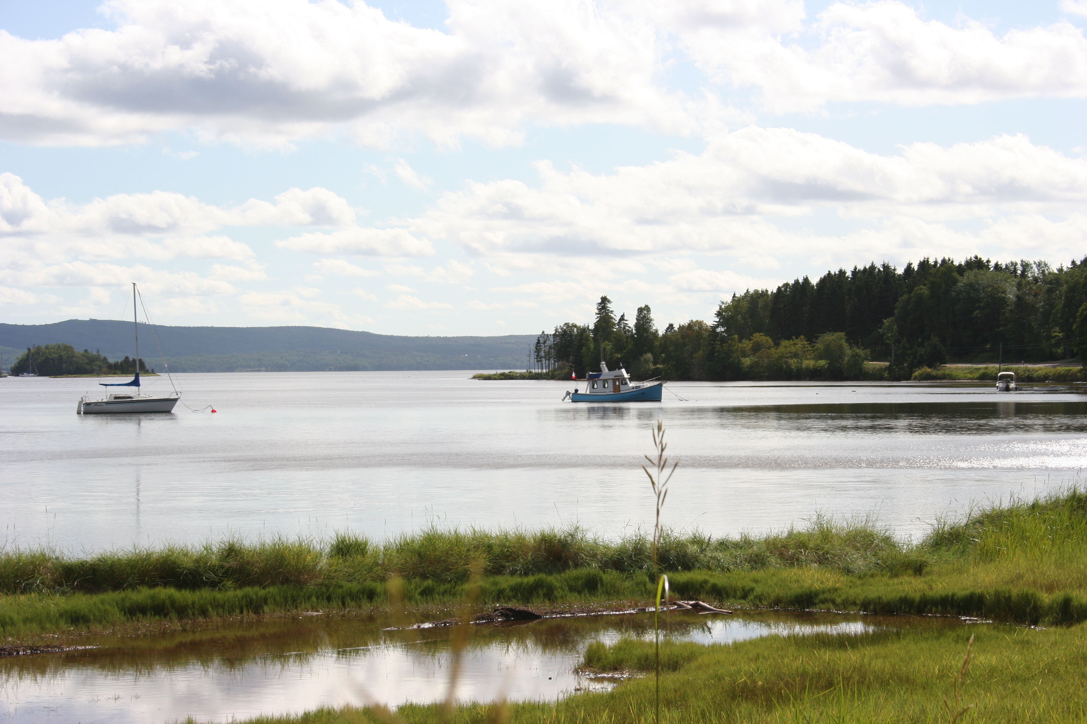
Bras D'Or Lake
Baddeck River, Nova Scotia
Come to life ~

Winding Road - HDR

macintyres sunset barn
Nature's Embrace
Walk on Water...
this-will-be-our-drive

#HikeNovaScotia #CapeBretonIsland #ExploreNovaScotia #VisitCapeBreton #CabotTrail #CelticColours
Baddeck, Nova Scotia

east coast.
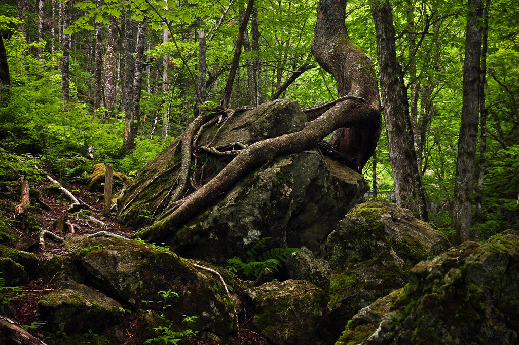
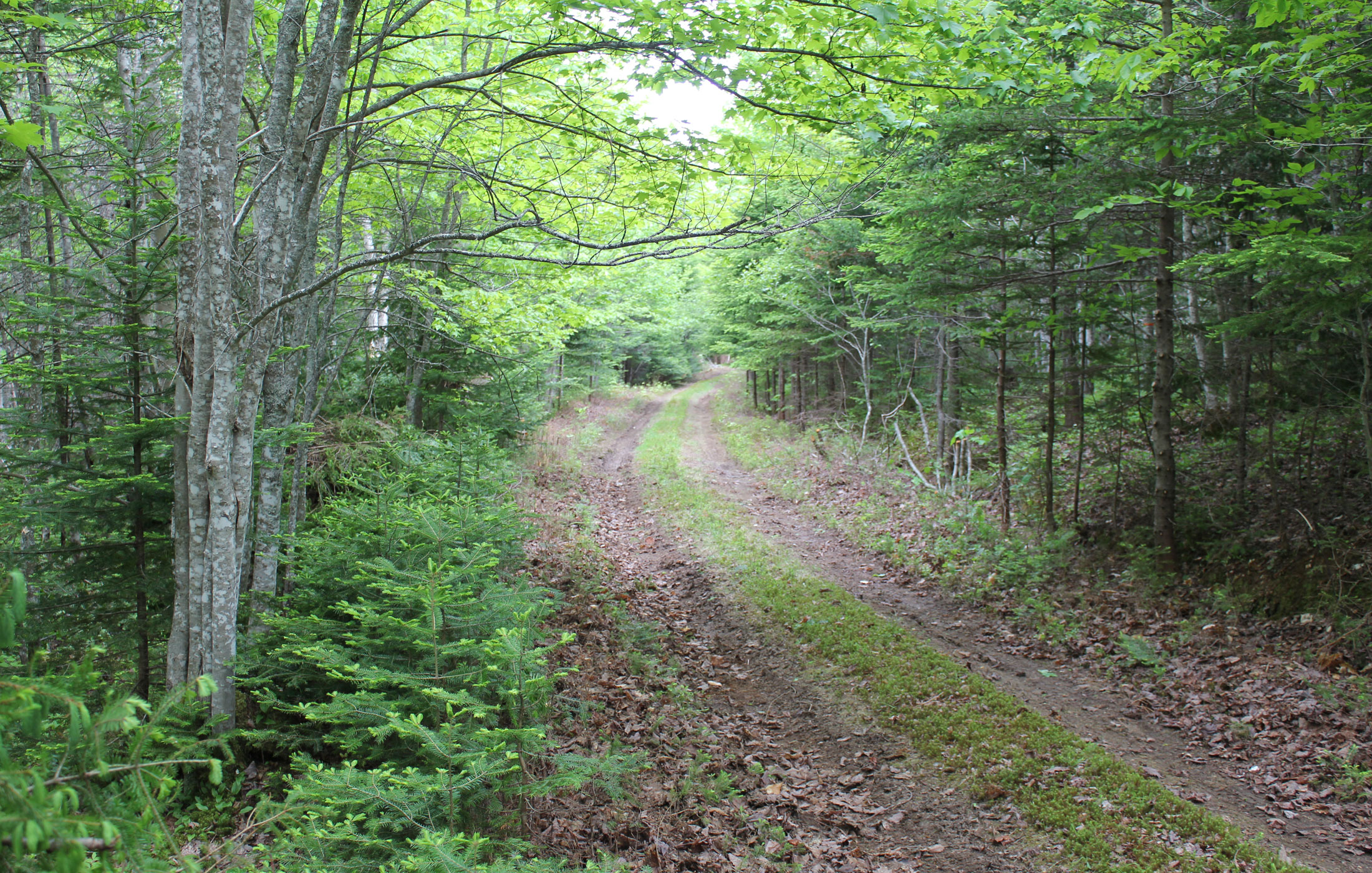
our-forest
CapeBreton-View2
Alexander Graham Bell Museum
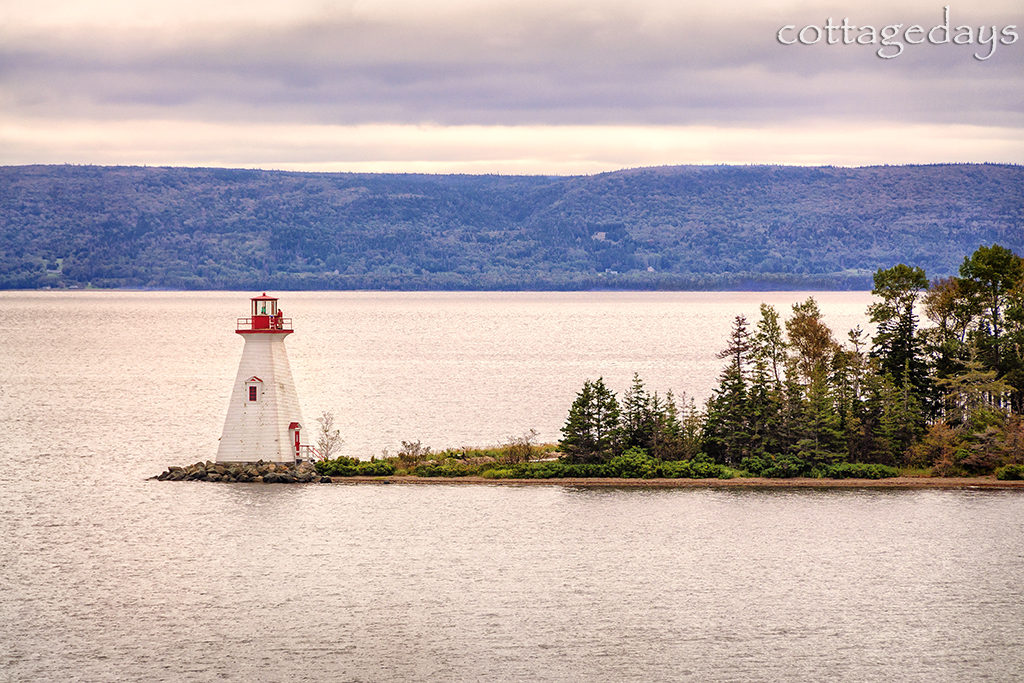
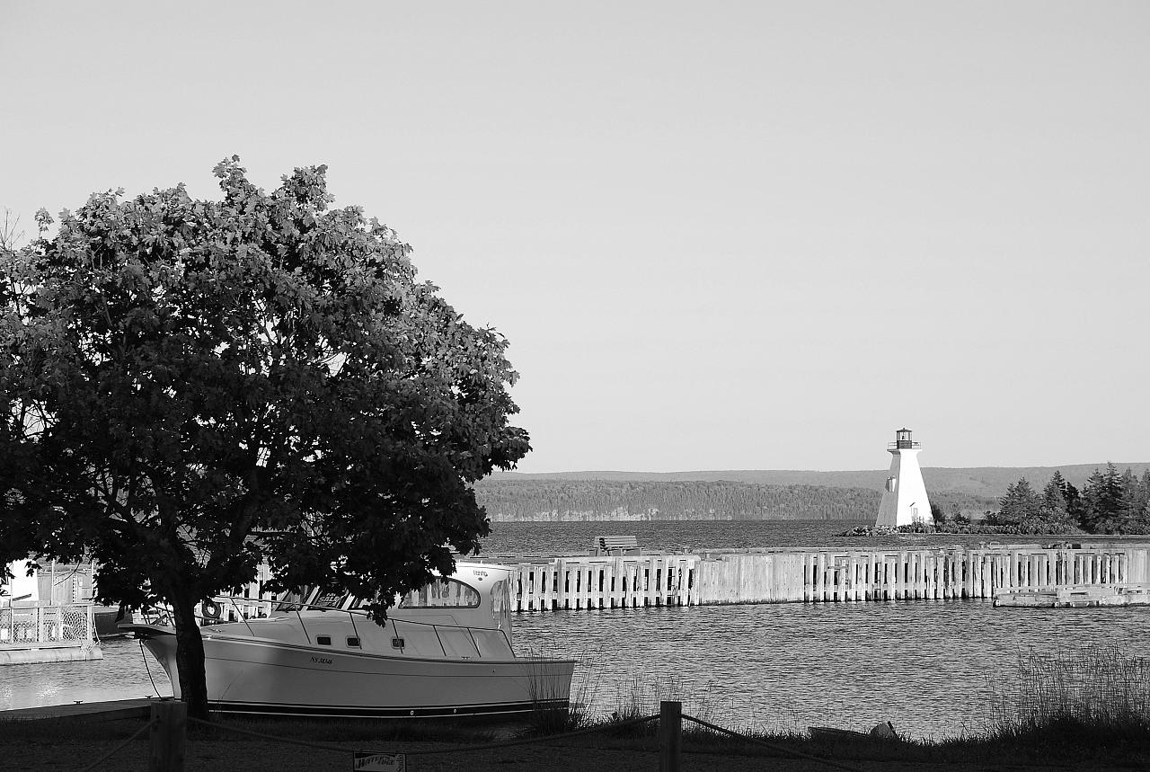
Baddeck Lighthouse
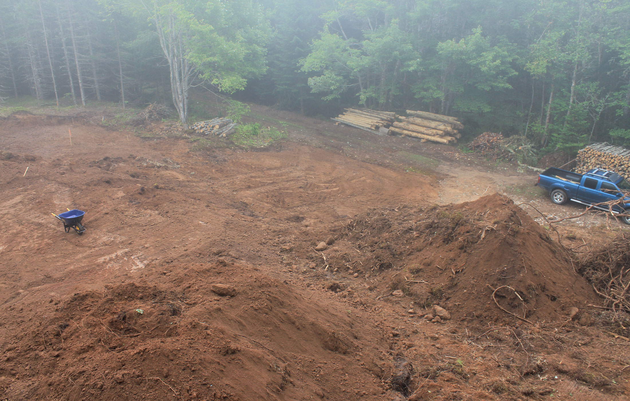
after-clearing

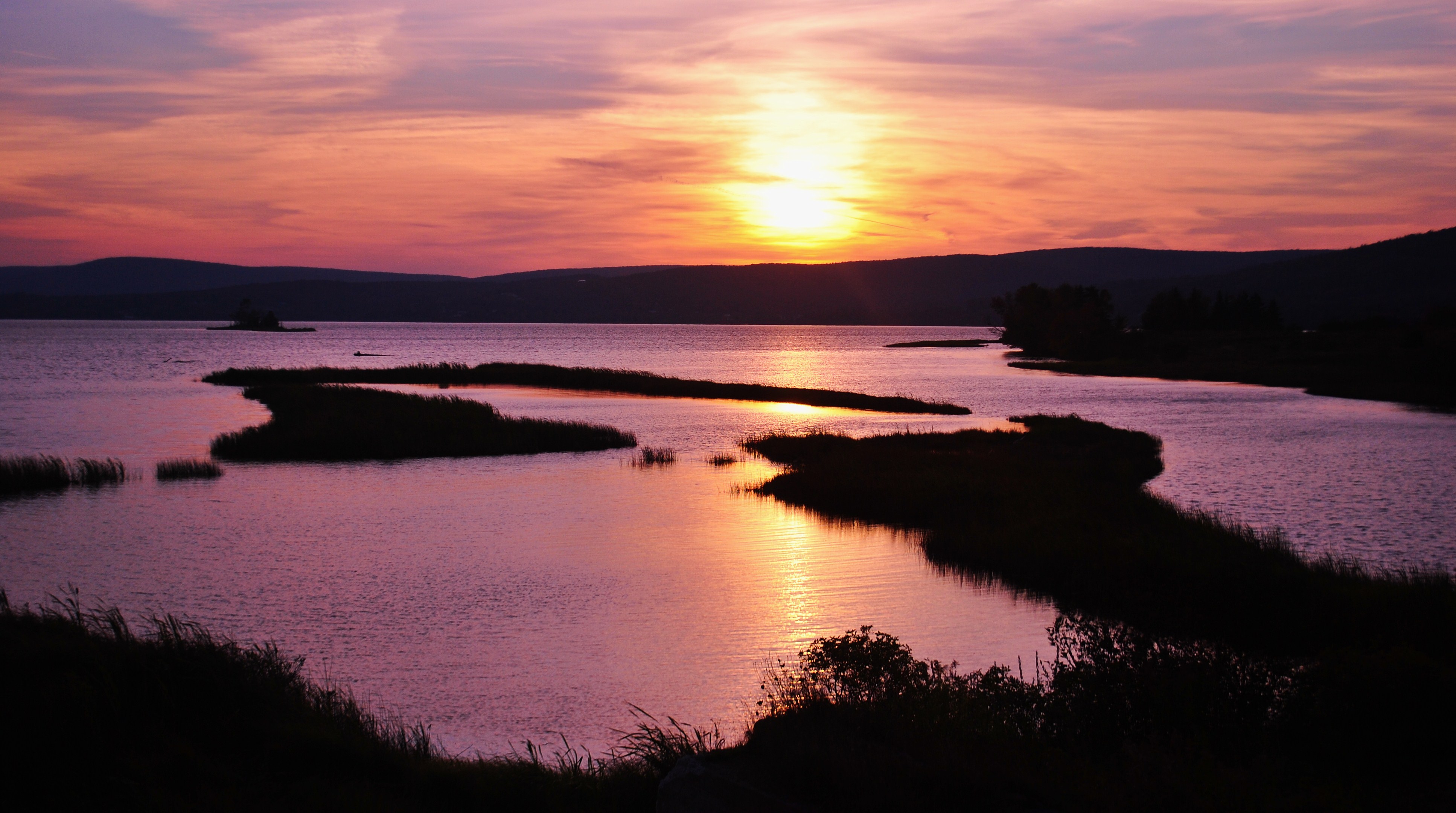
Sunset on Bras d'Or Lakes in Baddeck on Cape Breton Island, Nova Scotia
Herring Cove
Alexander Graham Bell's House
Herring Cove
Topographic Map of Baddeck, NS, Canada
Find elevation by address:

Places in Baddeck, NS, Canada:
Places near Baddeck, NS, Canada:
Chebucto Street
Washabuck Rd, Lower Washabuck, NS B2C 1N6, Canada
Lower Washabuck
Orangedale Presbyterian Church
NS-, Baddeck, NS B0E 1B0, Canada
Kempt Head Rd, Kempt Head, NS B1X 1R9, Canada
B1x 1r9
Kempt Head
Kempt Head Rd, Kempt Head, NS B1X 1R8, Canada
9368 Kempt Head Rd
Grand Narrows Hwy, Beaver Cove, NS B1T 1N8, Canada
Ross Ferry
Kempt Head Rd, Ross Ferry, NS B1X 1N9, Canada
Kempt Head Rd, Ross Ferry, NS B1X 1N8, Canada
Beaver Cove
Victoria, Subd. B
South Haven
Boularderie
South Side Of Boularderie
Kempt Head Rd, Southside Boularderie, NS B1Y 2P9, Canada
Recent Searches:
- Elevation of Corso Fratelli Cairoli, 35, Macerata MC, Italy
- Elevation of Tallevast Rd, Sarasota, FL, USA
- Elevation of 4th St E, Sonoma, CA, USA
- Elevation of Black Hollow Rd, Pennsdale, PA, USA
- Elevation of Oakland Ave, Williamsport, PA, USA
- Elevation of Pedrógão Grande, Portugal
- Elevation of Klee Dr, Martinsburg, WV, USA
- Elevation of Via Roma, Pieranica CR, Italy
- Elevation of Tavkvetili Mountain, Georgia
- Elevation of Hartfords Bluff Cir, Mt Pleasant, SC, USA