Elevation of Victoria, Subd. B, NS, Canada
Location: Canada > Nova Scotia > Victoria County >
Longitude: -60.593831
Latitude: 46.2082411
Elevation: 7m / 23feet
Barometric Pressure: 101KPa
Elevation Map:
Satellite Map:
Related Photos:
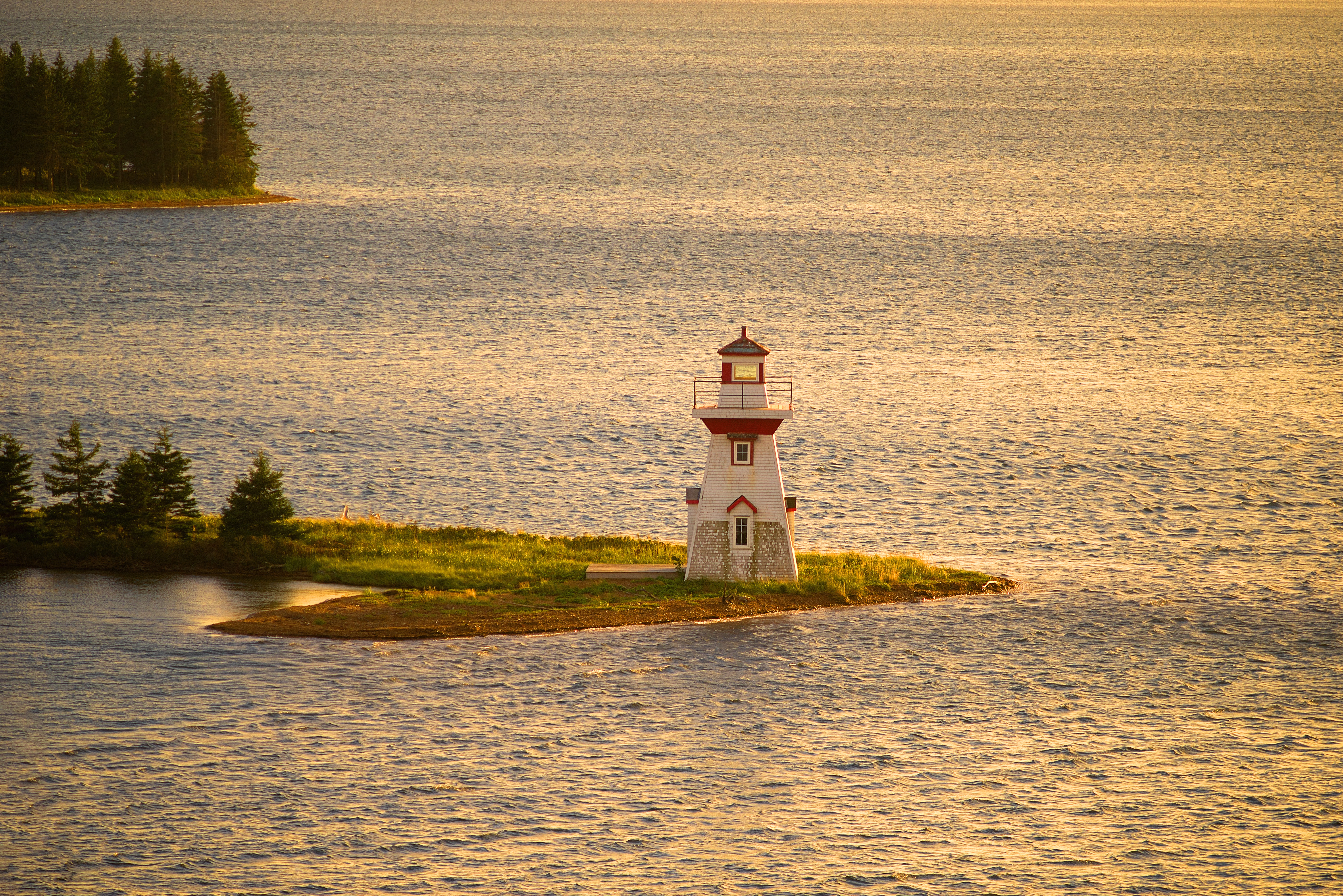
McNeill Beach Light

DGJ_4883 - Seal Island Bridge
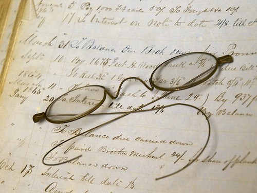
Spectacle-ar!
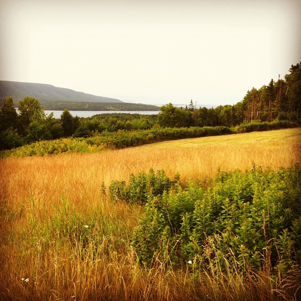
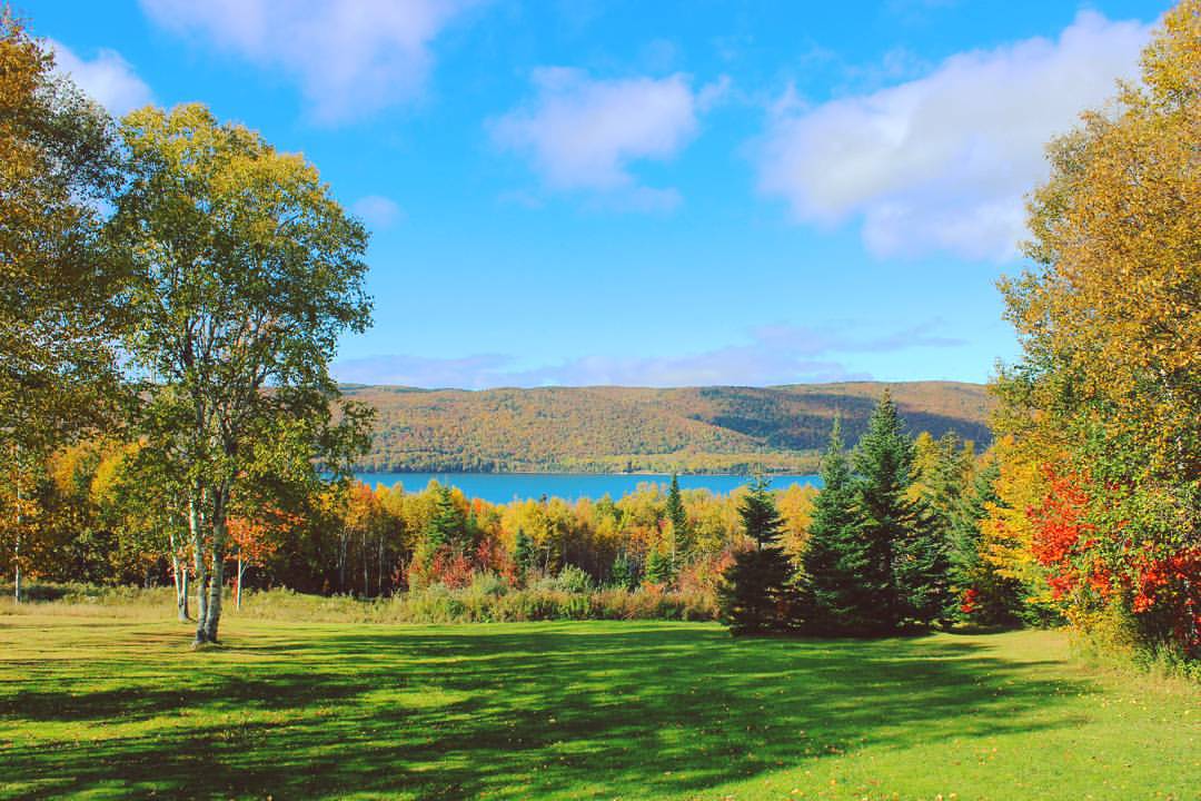
The view from here
"promises from yesterday"

Other view from the cottage
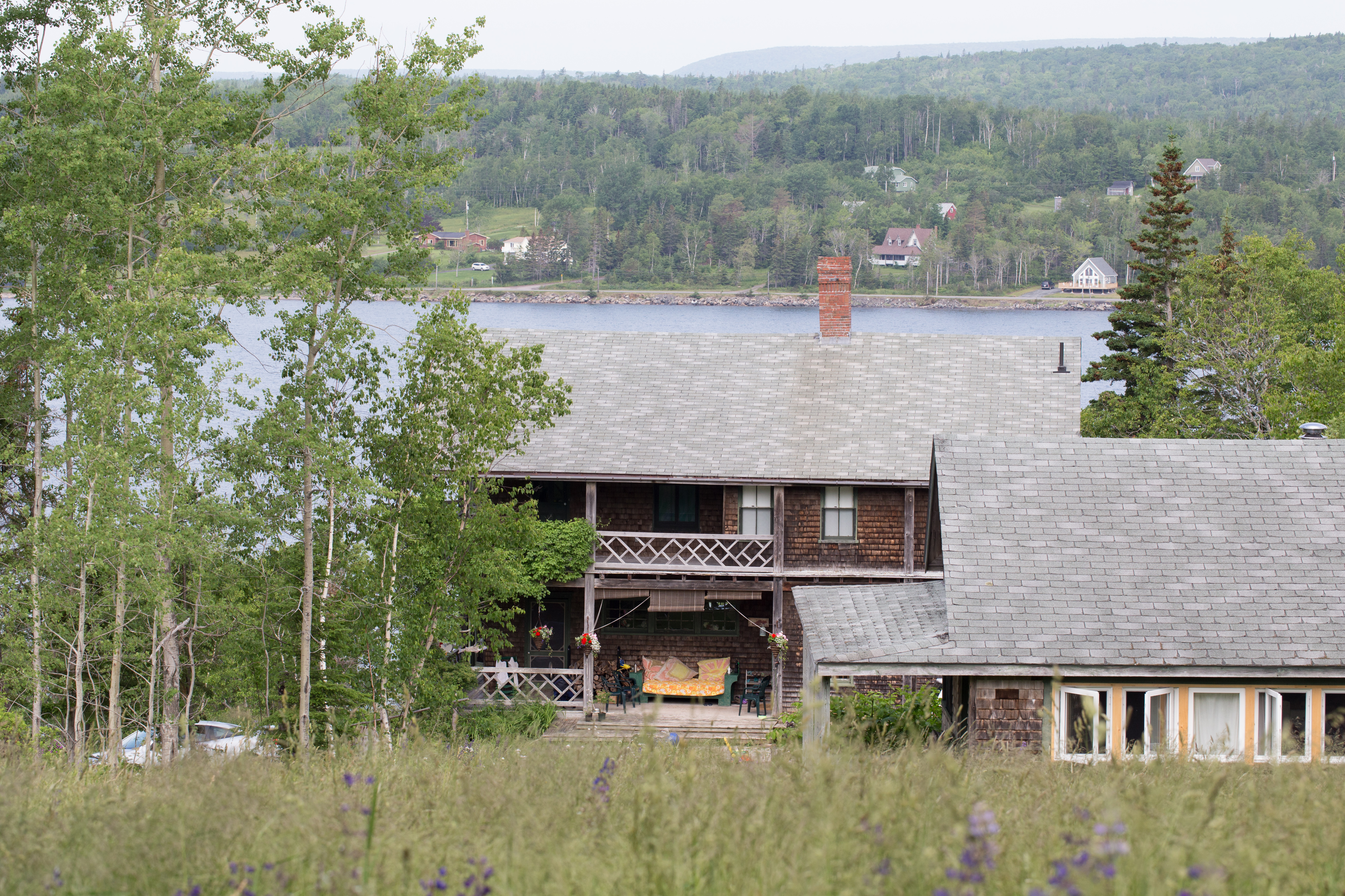
The Lodge and Pansy Cottage

What a view but what a breeze. #KellysMountain #lookout #sealbridge #CapeBreton#NovaScotia #Canada #NouvelleÉcosse #SealIslandBridge
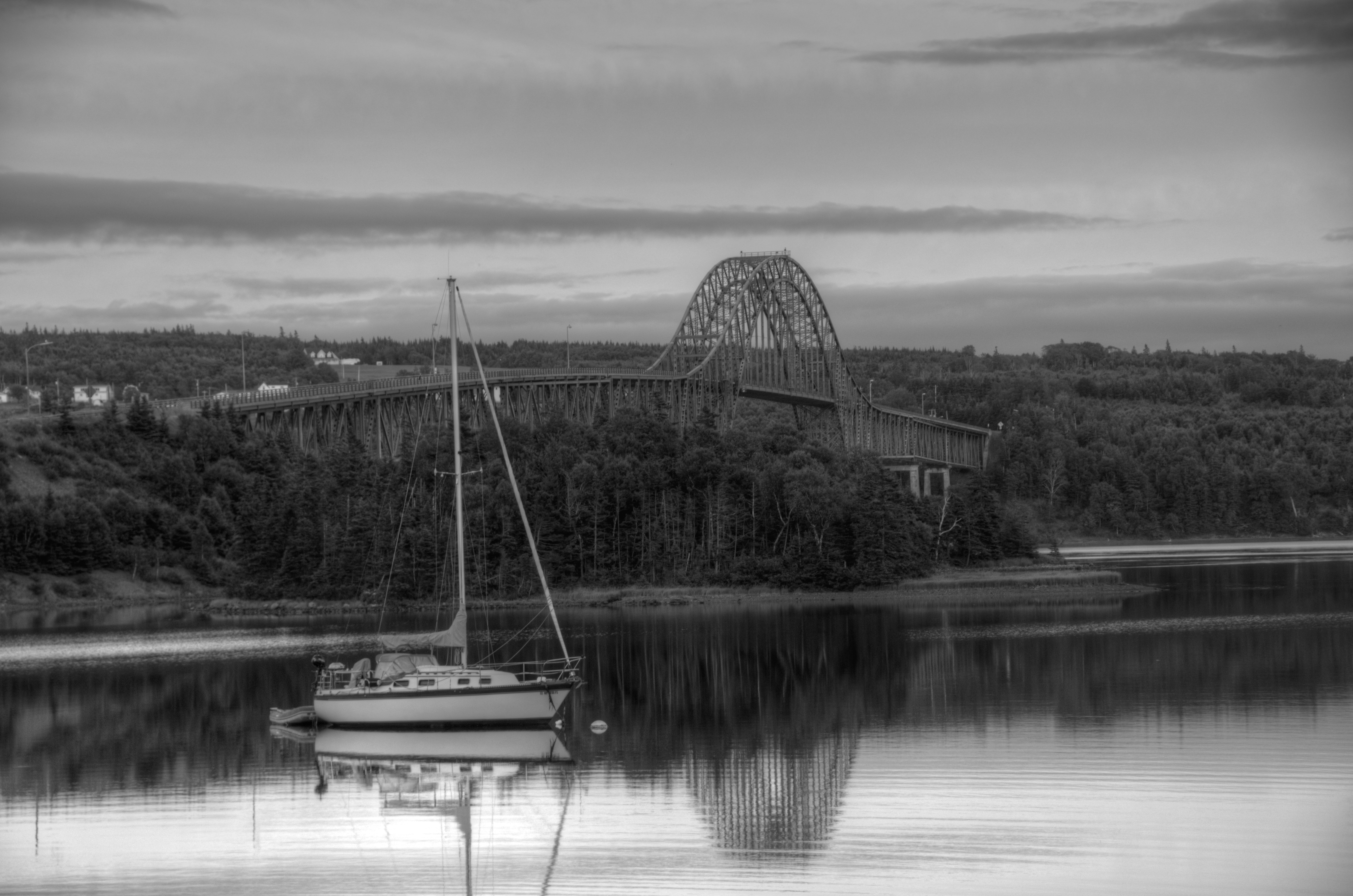
Sailboat on Bras d'Or Lake, Cape Breton, Nova Scotia #2450 (B&W)

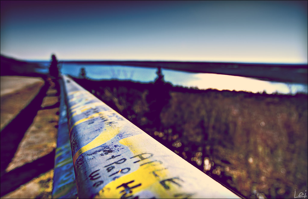
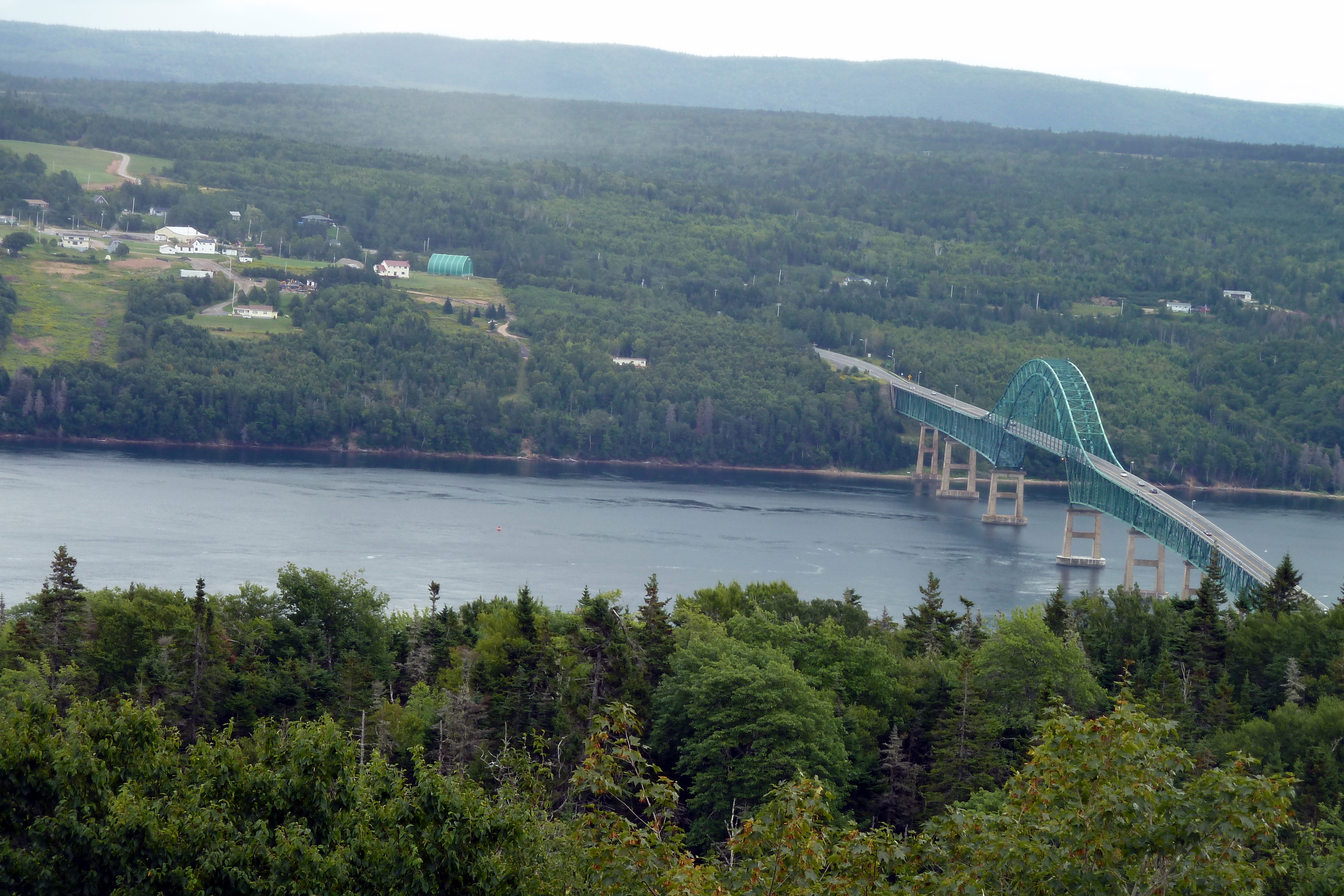
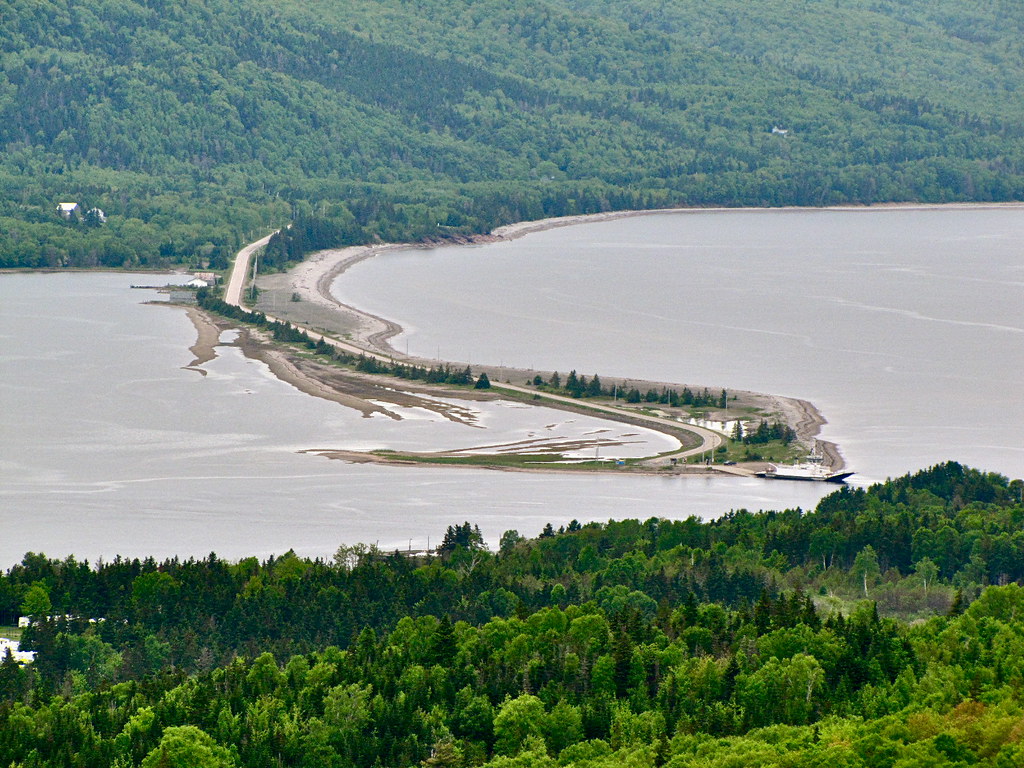
View over Seal Island Suspension Bridge
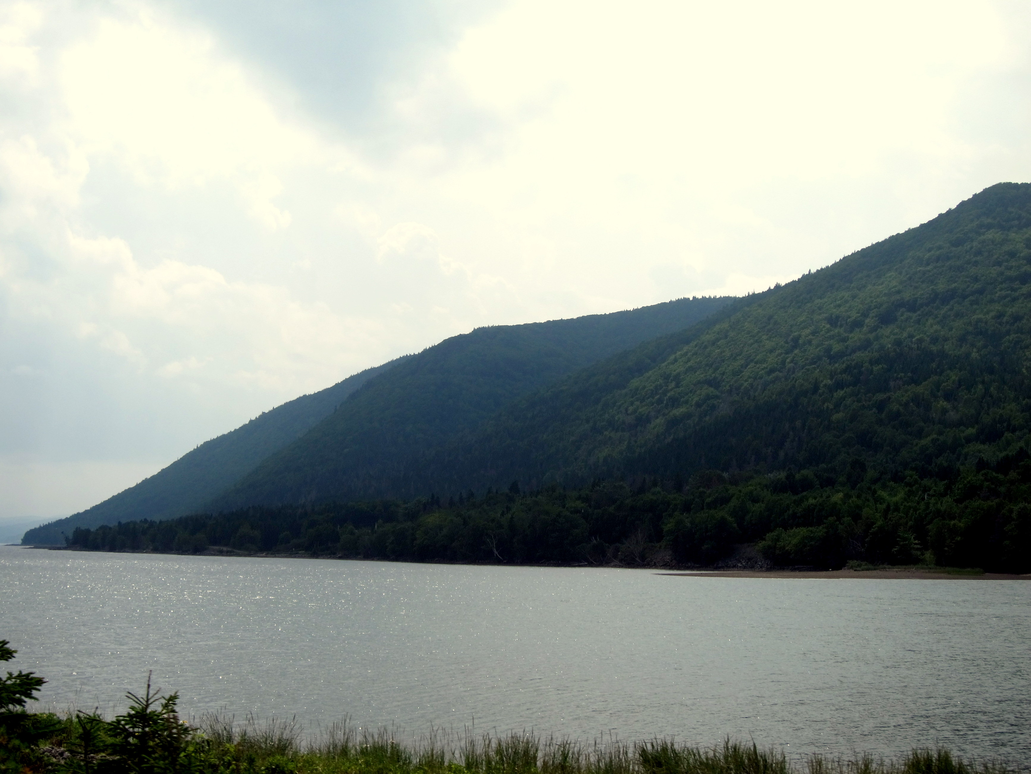
View of Lower Washabuck from the top
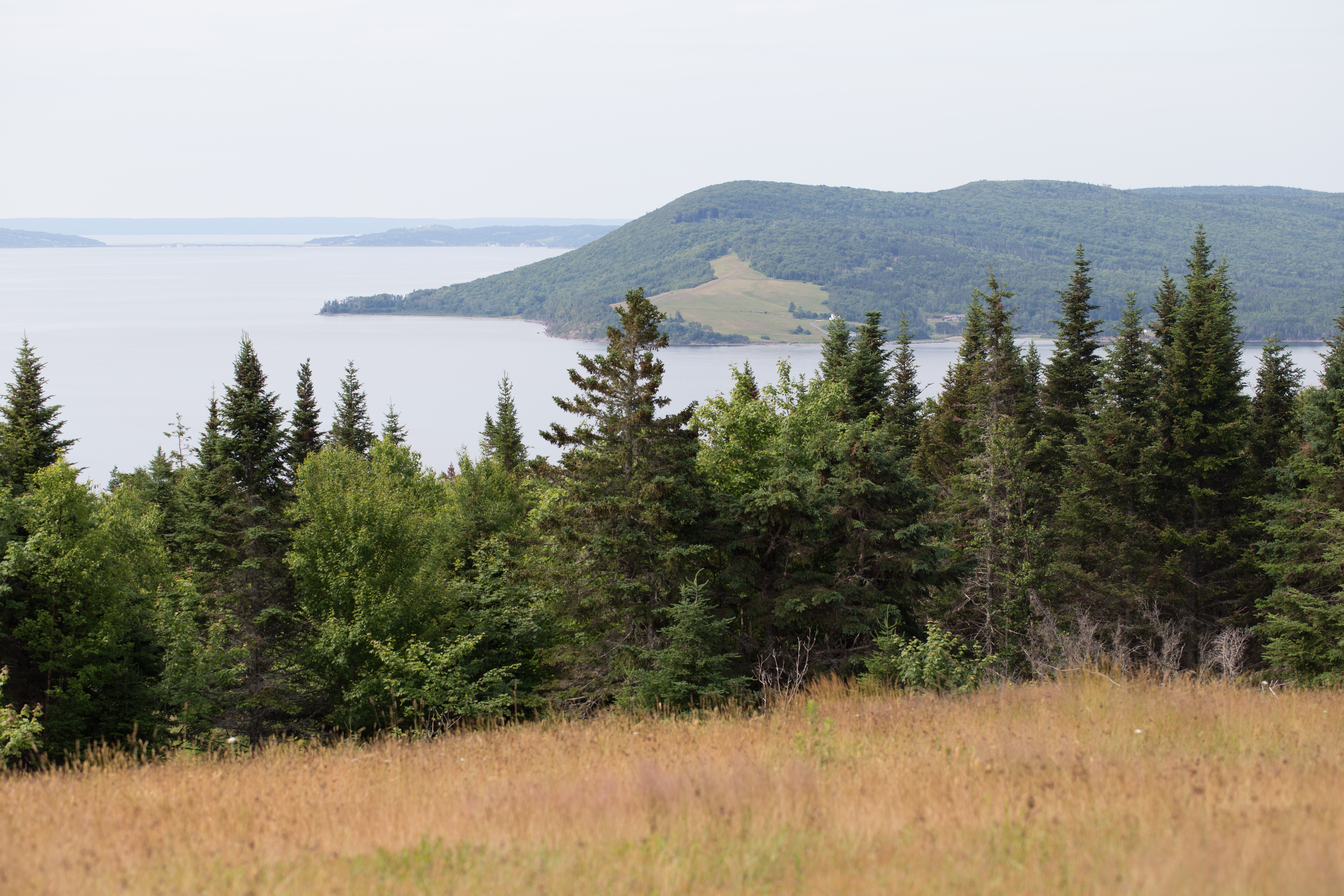
View across the Baddeck Bay
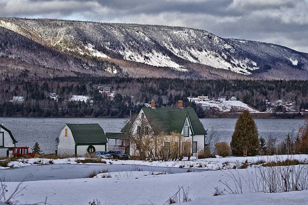
Winter Farm

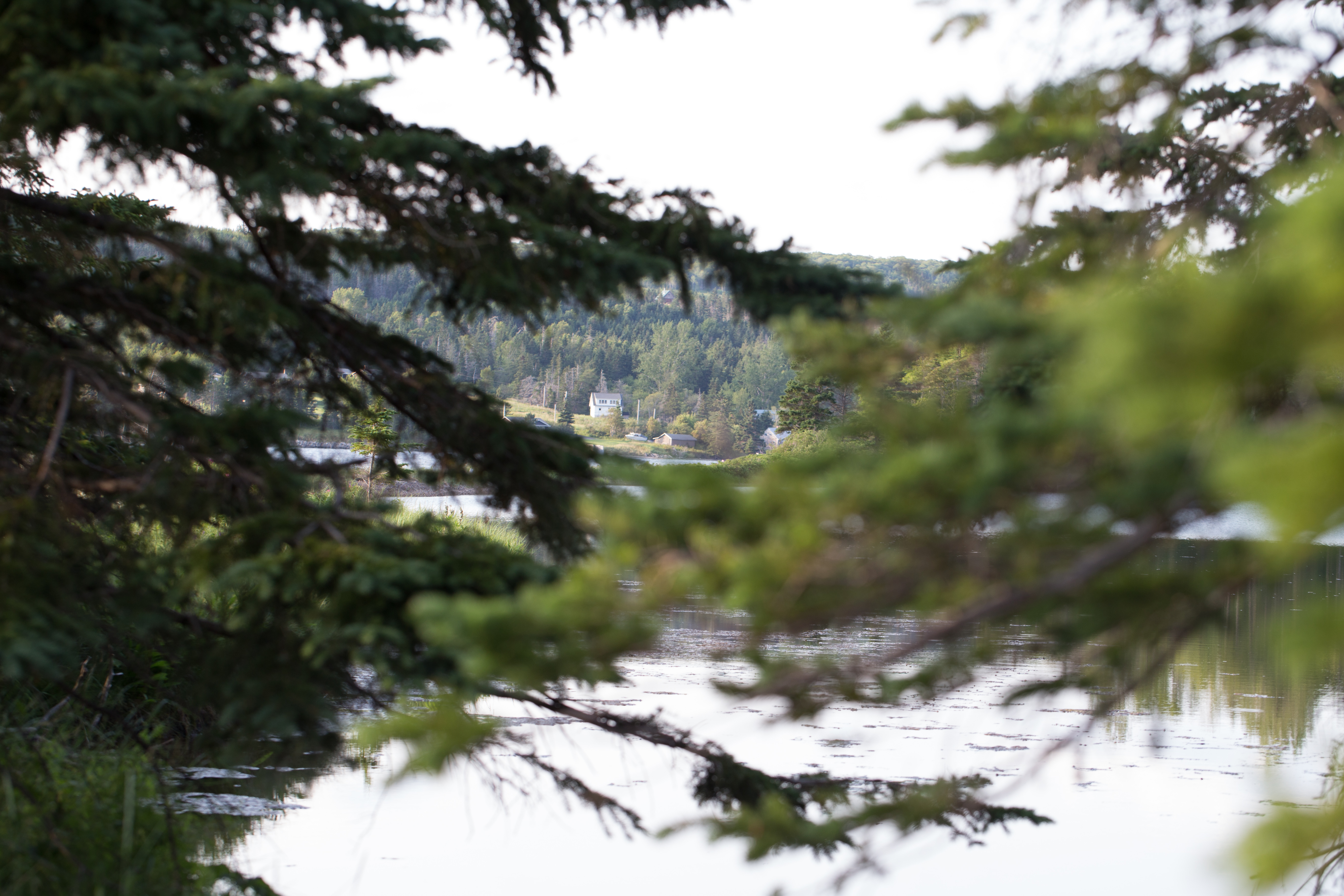
View from the cottage
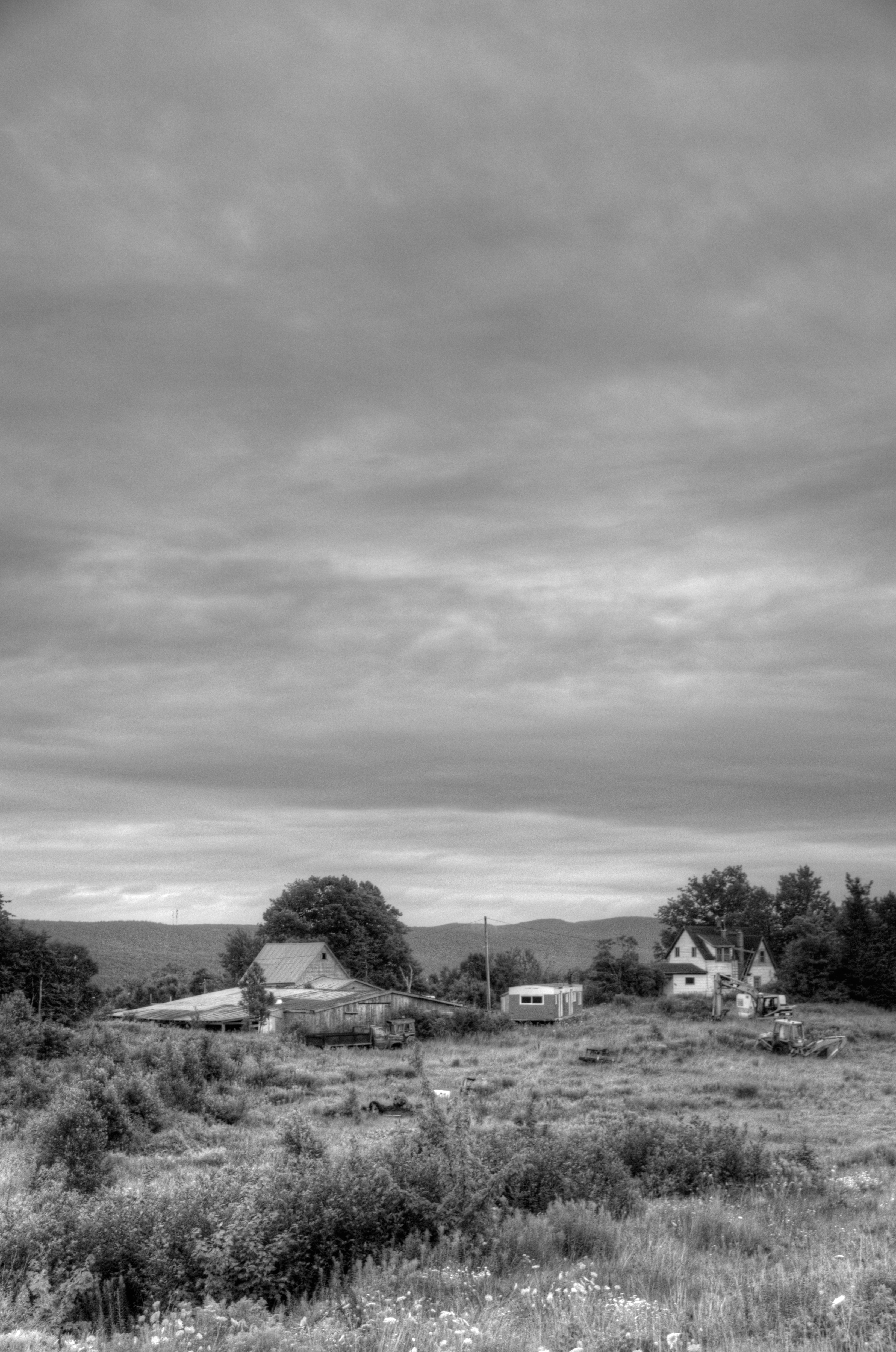
Somewhere along a back road in Cape Breton, NS #2440 (B&W, Vertical)
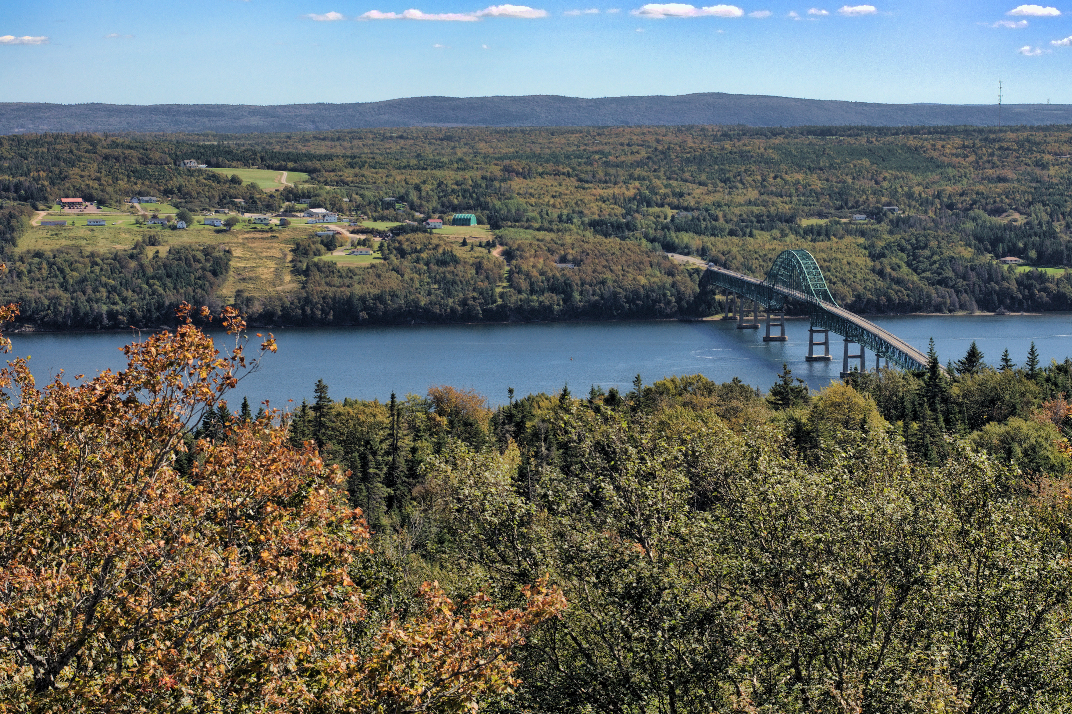
3.003 Back View of the Highlands Bridge
the view from kelly mountain

The view north from the Englishtown Ferry; Cape Breton, Nova Scotia
???????????????????? #fall #autumn #grass #leaves #nature #instanature #naturegram #scenery #landscape #water #mountains #seasons #outdoors #beautiful #eastcoastfall #eastcoast #capebreton #novascotia
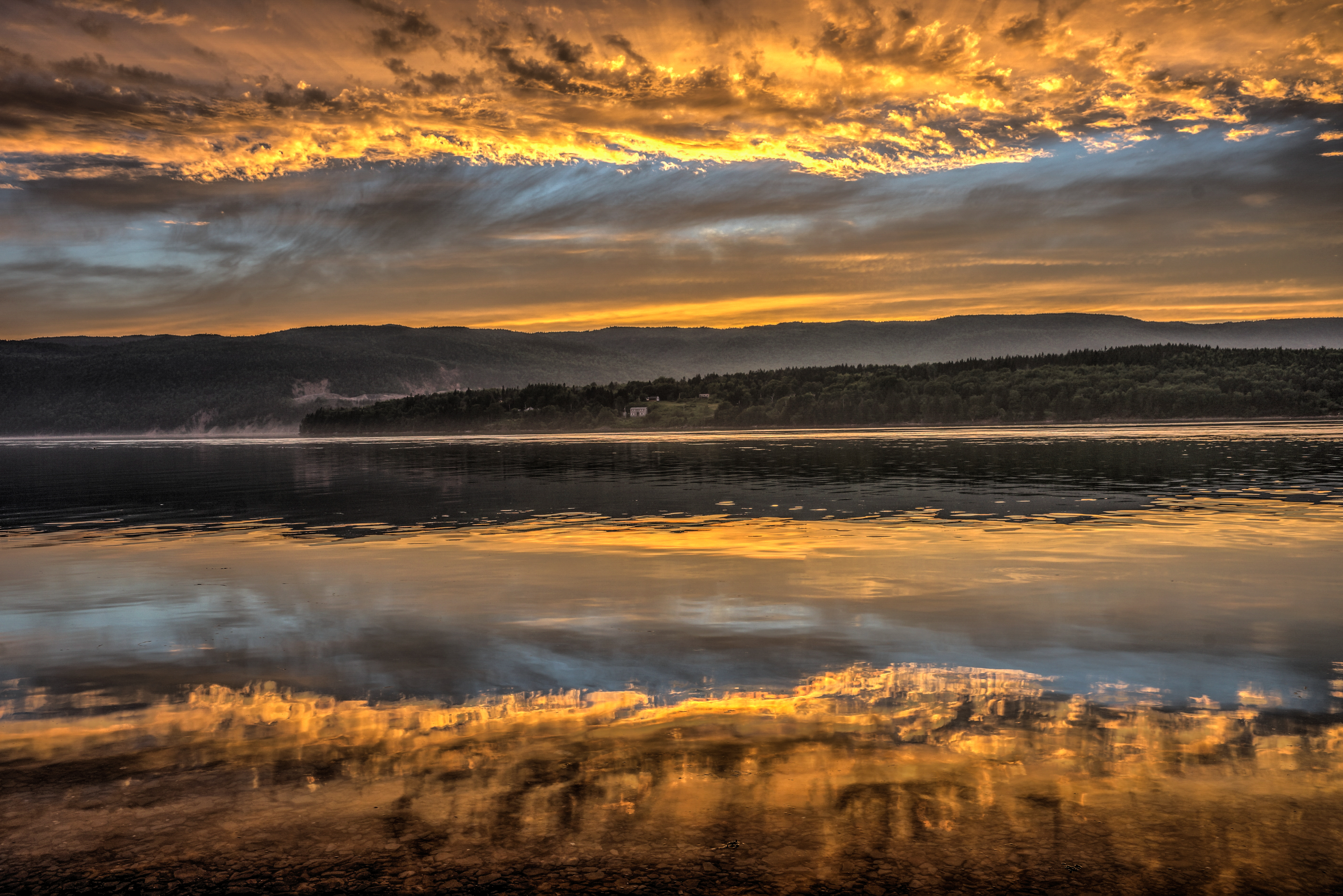
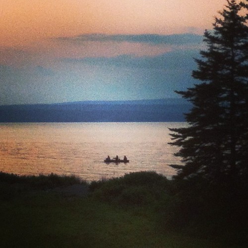
Early Evening Drama Unfolds

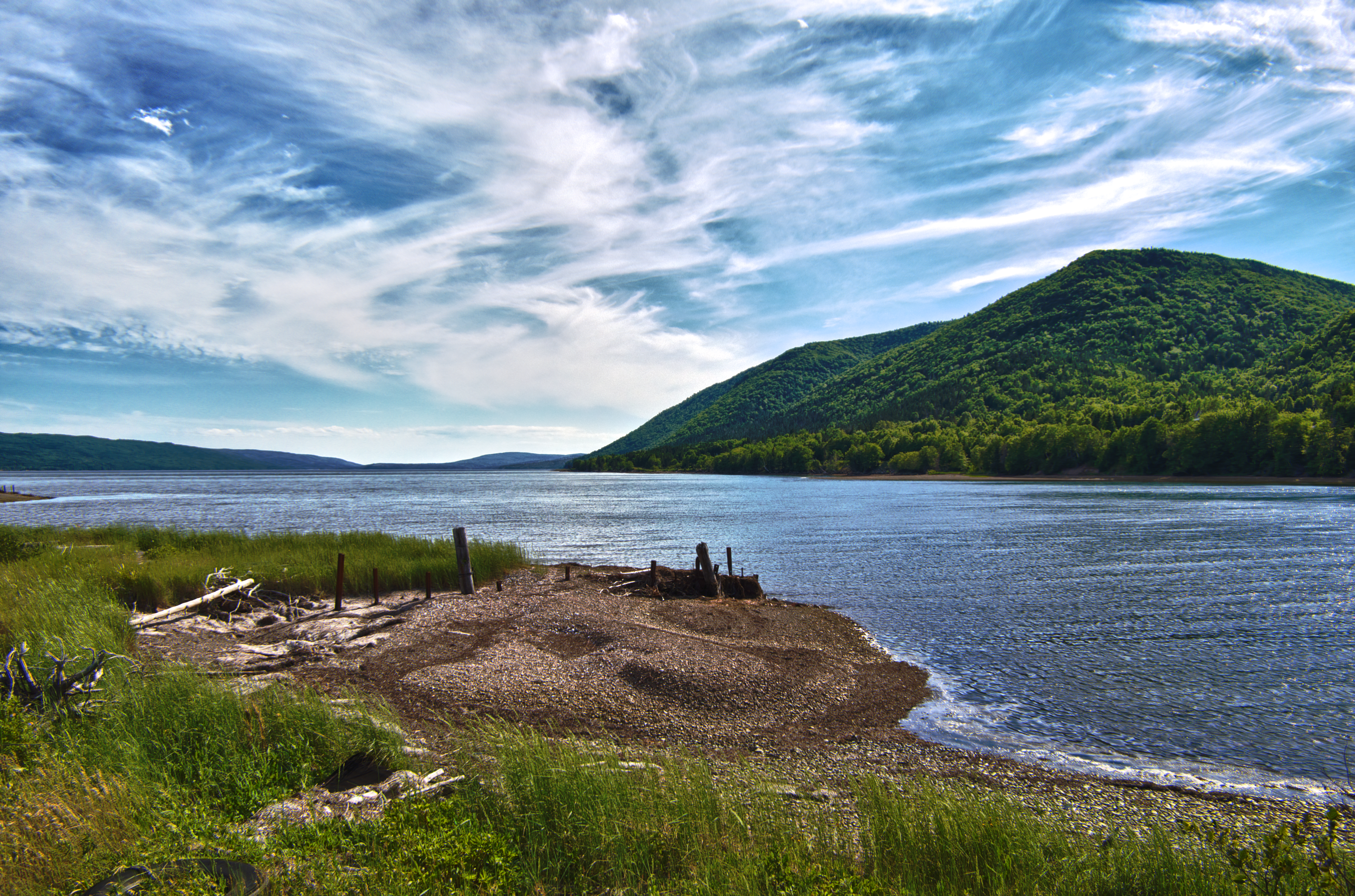
The lovely Bras d'Or

Perfect place for a ball game
Englishtown Ferry

Englishtown Ferry Never Looked So Good

Bras D'Or Lake

St. Marys Lookout, Cape Breton
DSC_0225_6_7Enhancer ES
St. Anne's Bay
Cabot Trail
#three

Bird watching - 59
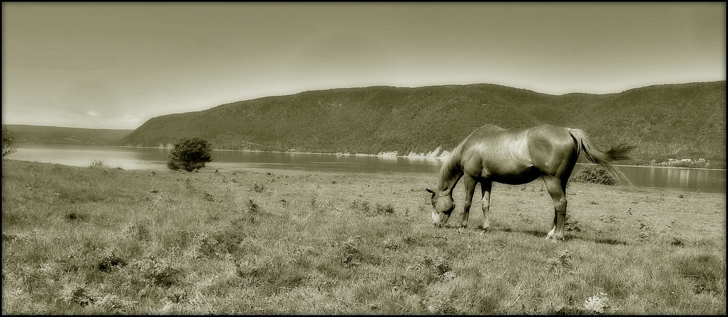
GRAZING HORSE, ENGLISHTOWN CAPE BRETON

Bird watching - 60
Nature's Embrace
Walk on Water...

I'm gonna miss this
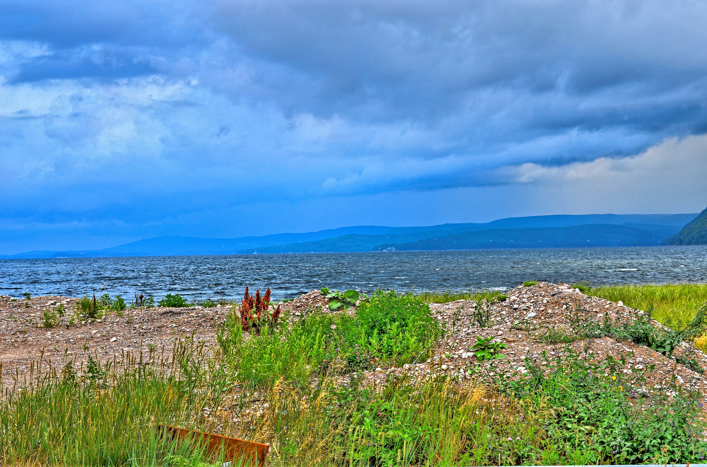
St Andrews Channel, Cape Breton Island

Bird watching - 22
Topographic Map of Victoria, Subd. B, NS, Canada
Find elevation by address:

Places in Victoria, Subd. B, NS, Canada:
Baddeck
Little Narrows
Kempt Head
Barra Glen
Lower Washabuck
Highland Hill
Ross Ferry
Boularderie
Cape Dauphin
South Side Of Boularderie
New Harris
Kempt Head Rd, Ross Ferry, NS B1X 1N9, Canada
New Campbellton Rd, New Campbellton, NS B1X 1V9, Canada
Bucklaw
South Haven
Iona
Gold Brook
Places near Victoria, Subd. B, NS, Canada:
South Haven
Boularderie
Kempt Head Rd, Ross Ferry, NS B1X 1N9, Canada
Kempt Head Rd, Ross Ferry, NS B1X 1N8, Canada
Ross Ferry
9368 Kempt Head Rd
South Side Of Boularderie
NS-, Baddeck, NS B0E 1B0, Canada
84 Kellys View Dr, Boularderie, NS B1X 1Z3, Canada
Kempt Head Rd, Southside Boularderie, NS B1Y 2P9, Canada
Kempt Head Rd, Kempt Head, NS B1X 1R8, Canada
Kempt Head
B1x 1r9
Orangedale Presbyterian Church
Kempt Head Rd, Kempt Head, NS B1X 1R9, Canada
Beaver Cove
Grand Narrows Hwy, Beaver Cove, NS B1T 1N8, Canada
Chebucto Street
Baddeck
Washabuck Rd, Lower Washabuck, NS B2C 1N6, Canada
Recent Searches:
- Elevation of Corso Fratelli Cairoli, 35, Macerata MC, Italy
- Elevation of Tallevast Rd, Sarasota, FL, USA
- Elevation of 4th St E, Sonoma, CA, USA
- Elevation of Black Hollow Rd, Pennsdale, PA, USA
- Elevation of Oakland Ave, Williamsport, PA, USA
- Elevation of Pedrógão Grande, Portugal
- Elevation of Klee Dr, Martinsburg, WV, USA
- Elevation of Via Roma, Pieranica CR, Italy
- Elevation of Tavkvetili Mountain, Georgia
- Elevation of Hartfords Bluff Cir, Mt Pleasant, SC, USA