Elevation of New Harris, NS B1X, Canada
Location: Canada > Nova Scotia > Victoria County > Victoria, Subd. B >
Longitude: -60.486516
Latitude: 46.253358
Elevation: 18m / 59feet
Barometric Pressure: 101KPa
Elevation Map:
Satellite Map:
Related Photos:

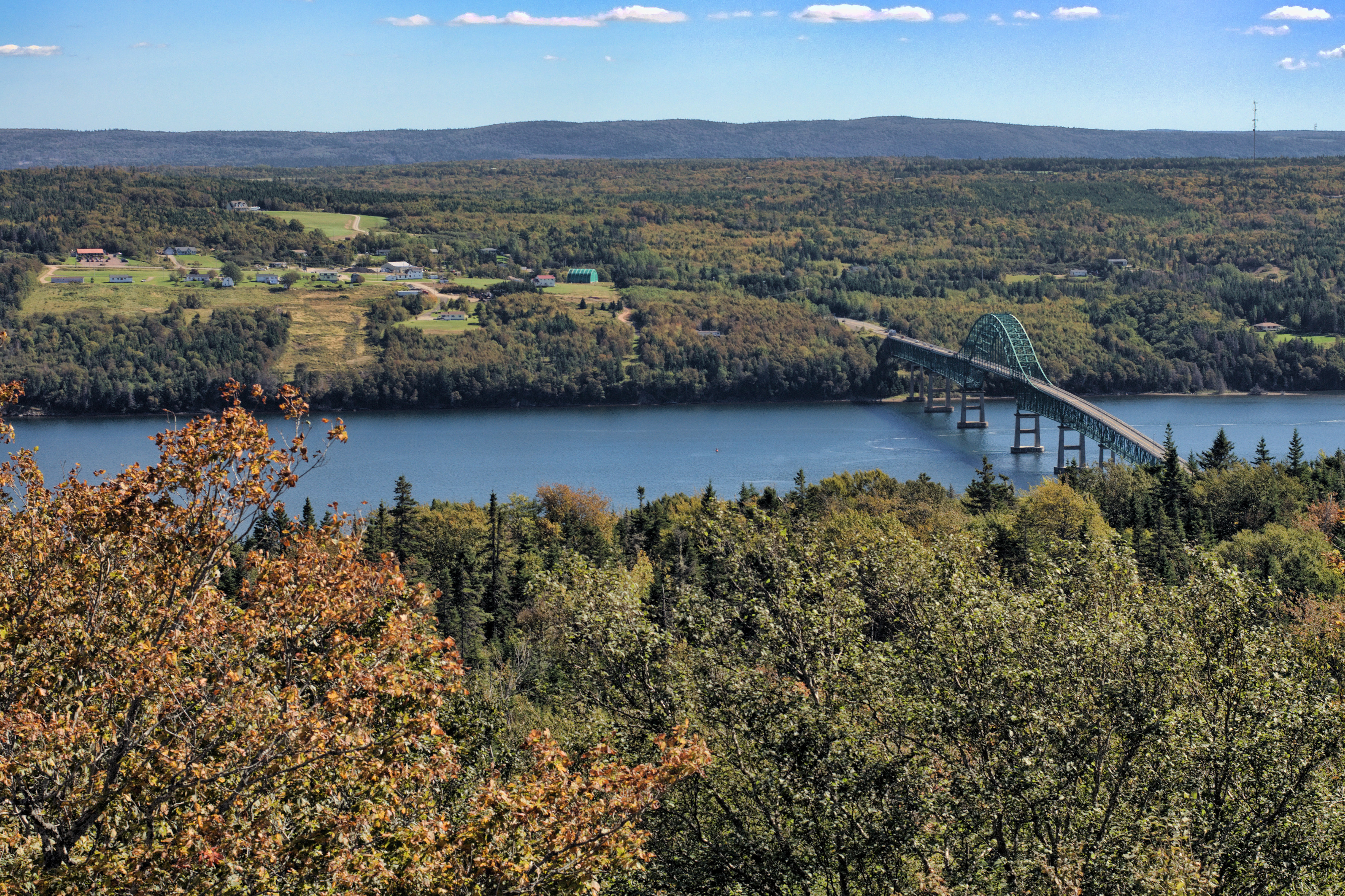
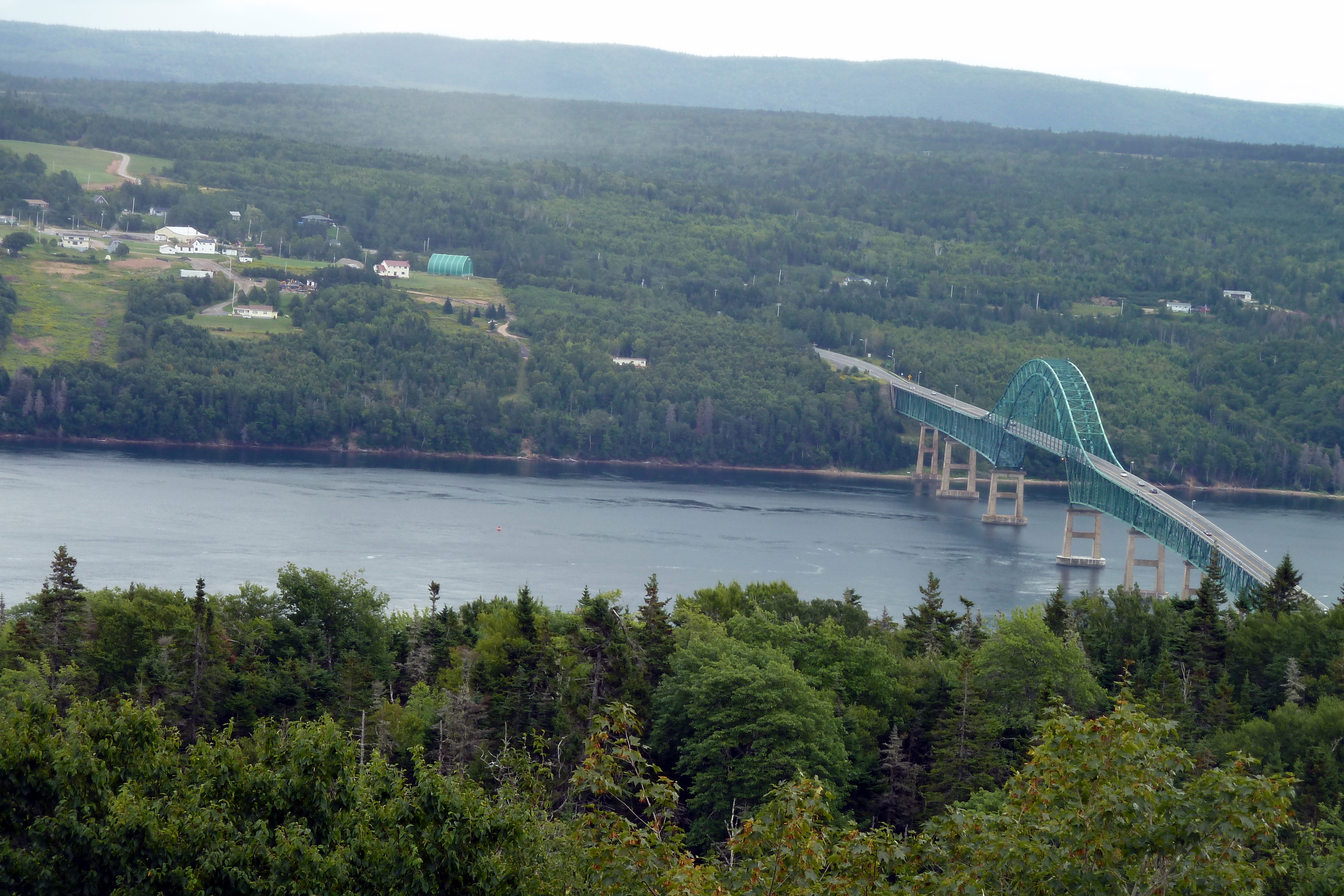
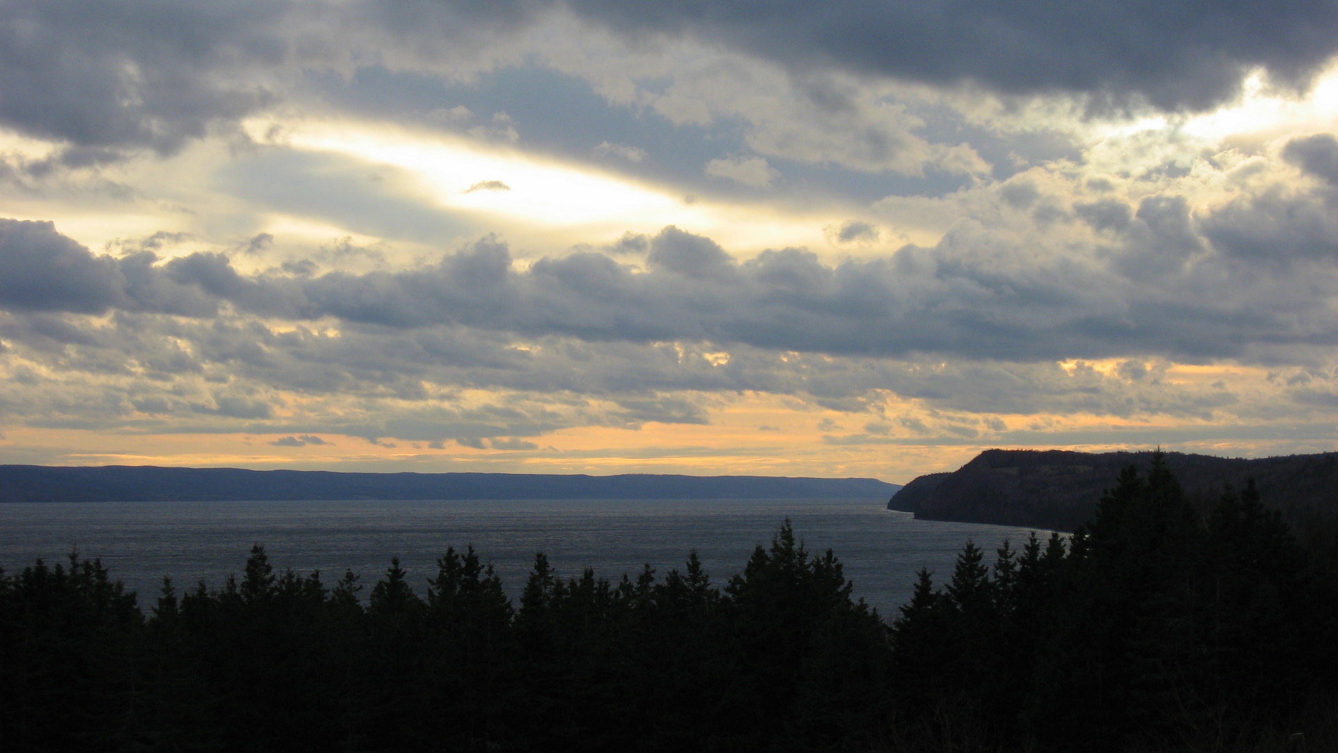
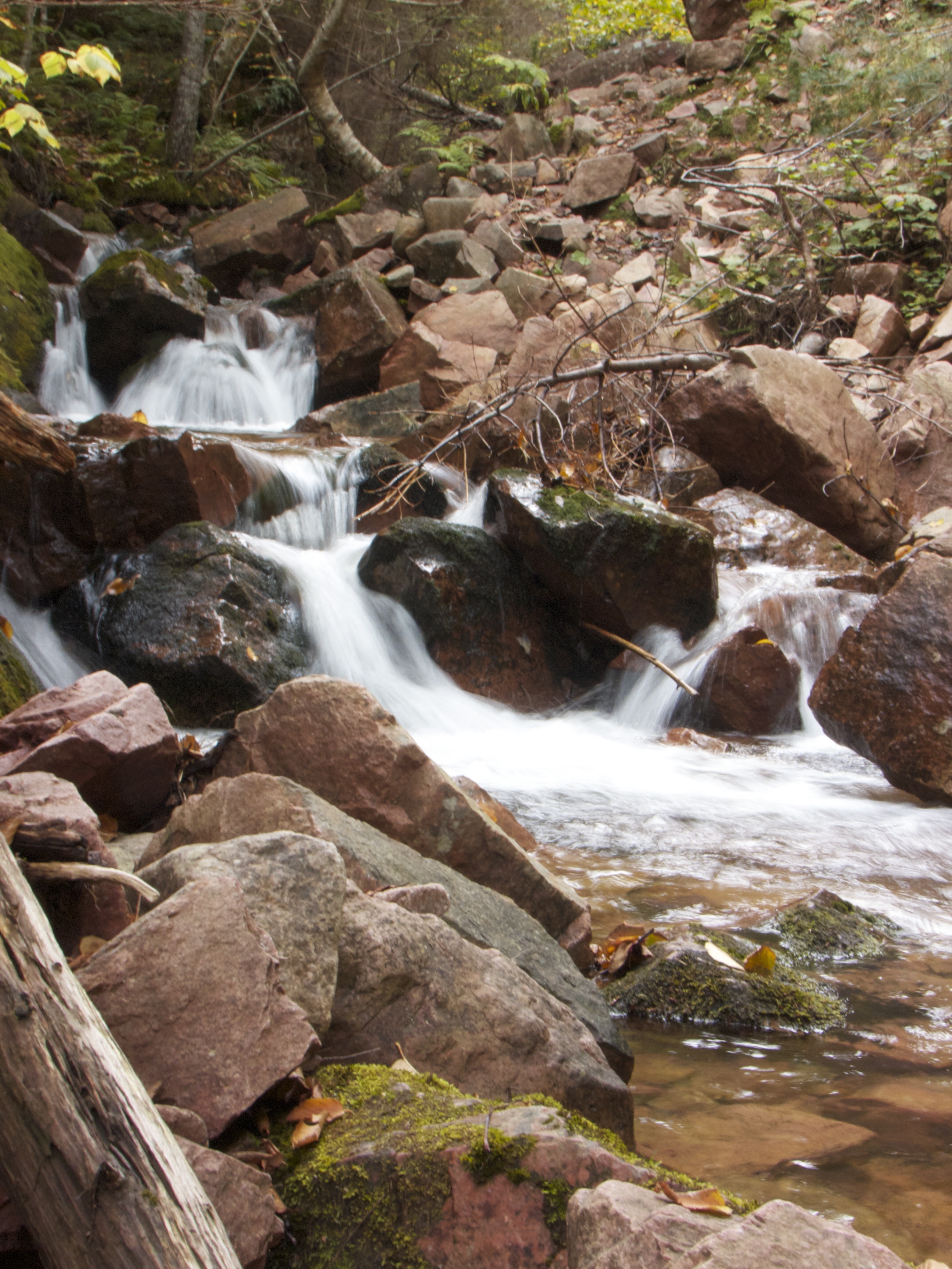
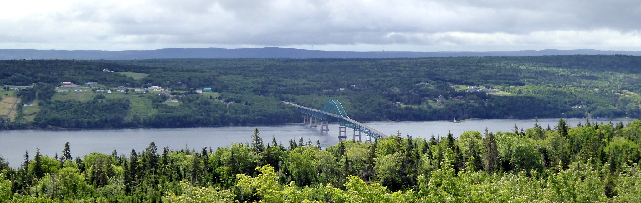
DGJ_4883 - Seal Island Bridge
Spectacle-ar!
"promises from yesterday"

Other view from the cottage

What a view but what a breeze. #KellysMountain #lookout #sealbridge #CapeBreton#NovaScotia #Canada #NouvelleÉcosse #SealIslandBridge

View over Seal Island Suspension Bridge
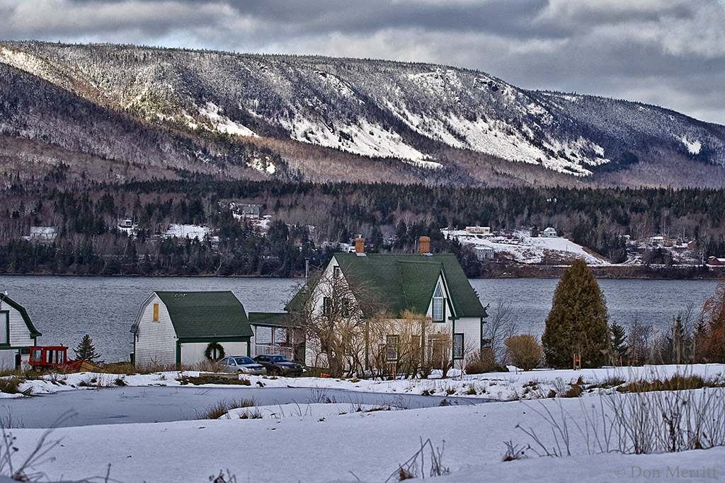
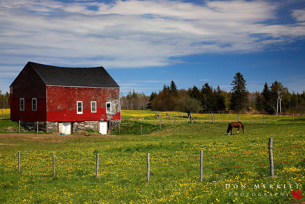
Winter Farm

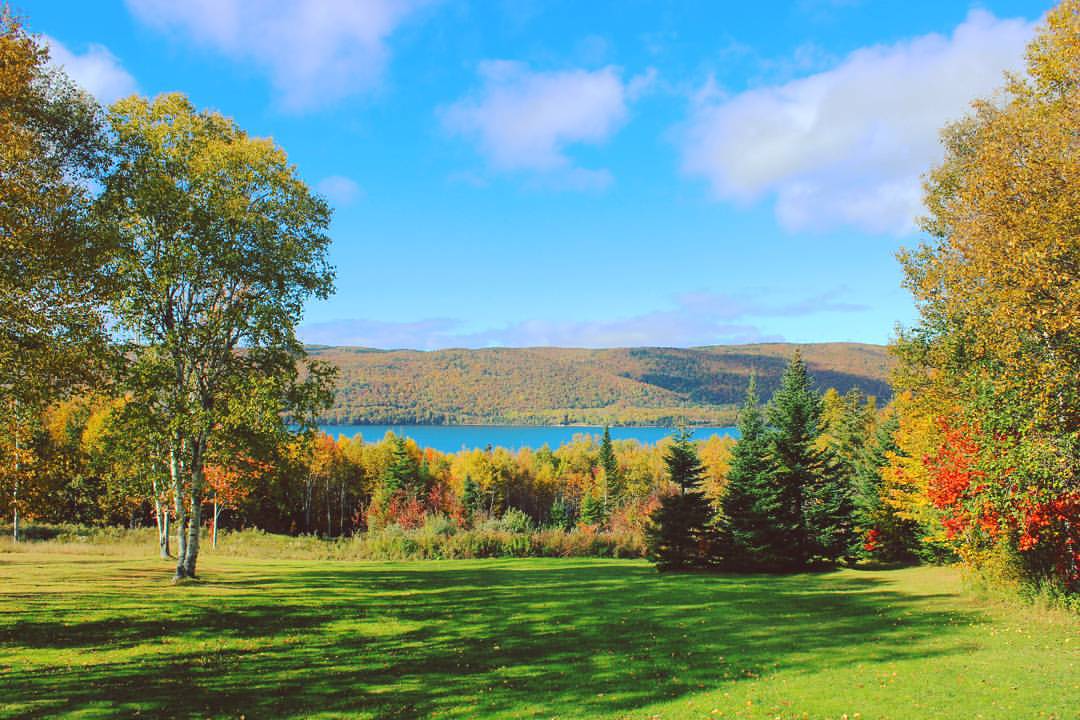
View from the cottage
the view from kelly mountain
3.003 Back View of the Highlands Bridge

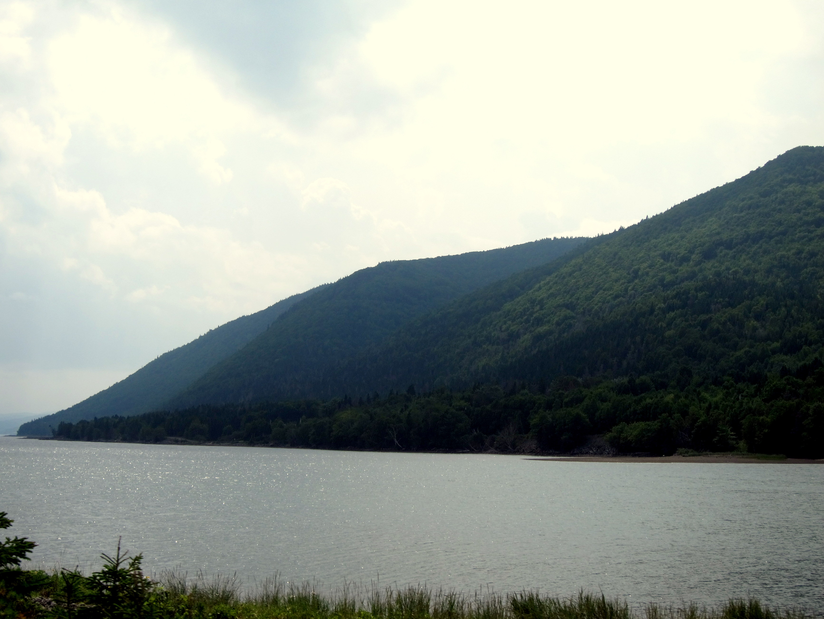
The view north from the Englishtown Ferry; Cape Breton, Nova Scotia

View of Jersey Cove, just off the Englishtown Ferry, Cape Breton Nova Scotia
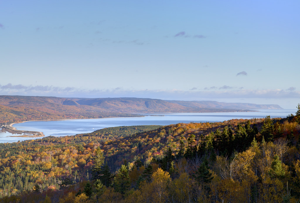
View from Kelly's Mountain, overlooking Englishtown Ferry, Cape Breton Nova Scotia
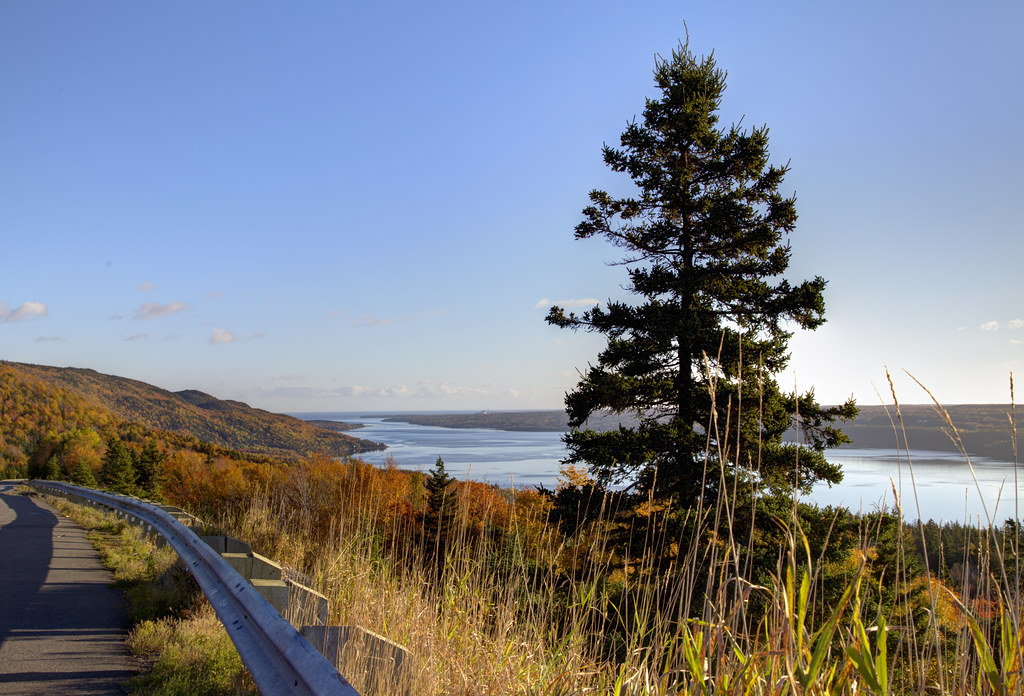
View from Kelly's Mountain, Cape Breton Nova Scotia
The context
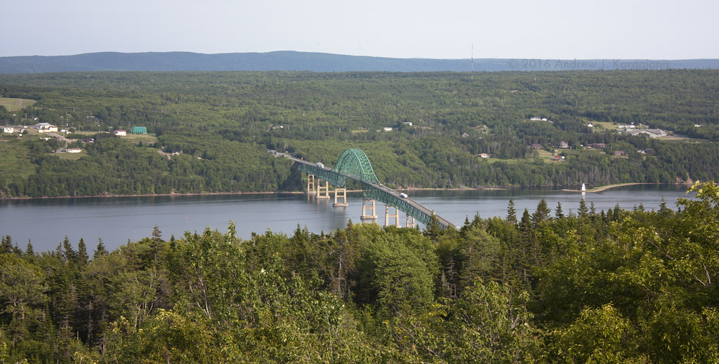
Seal Island Bridge
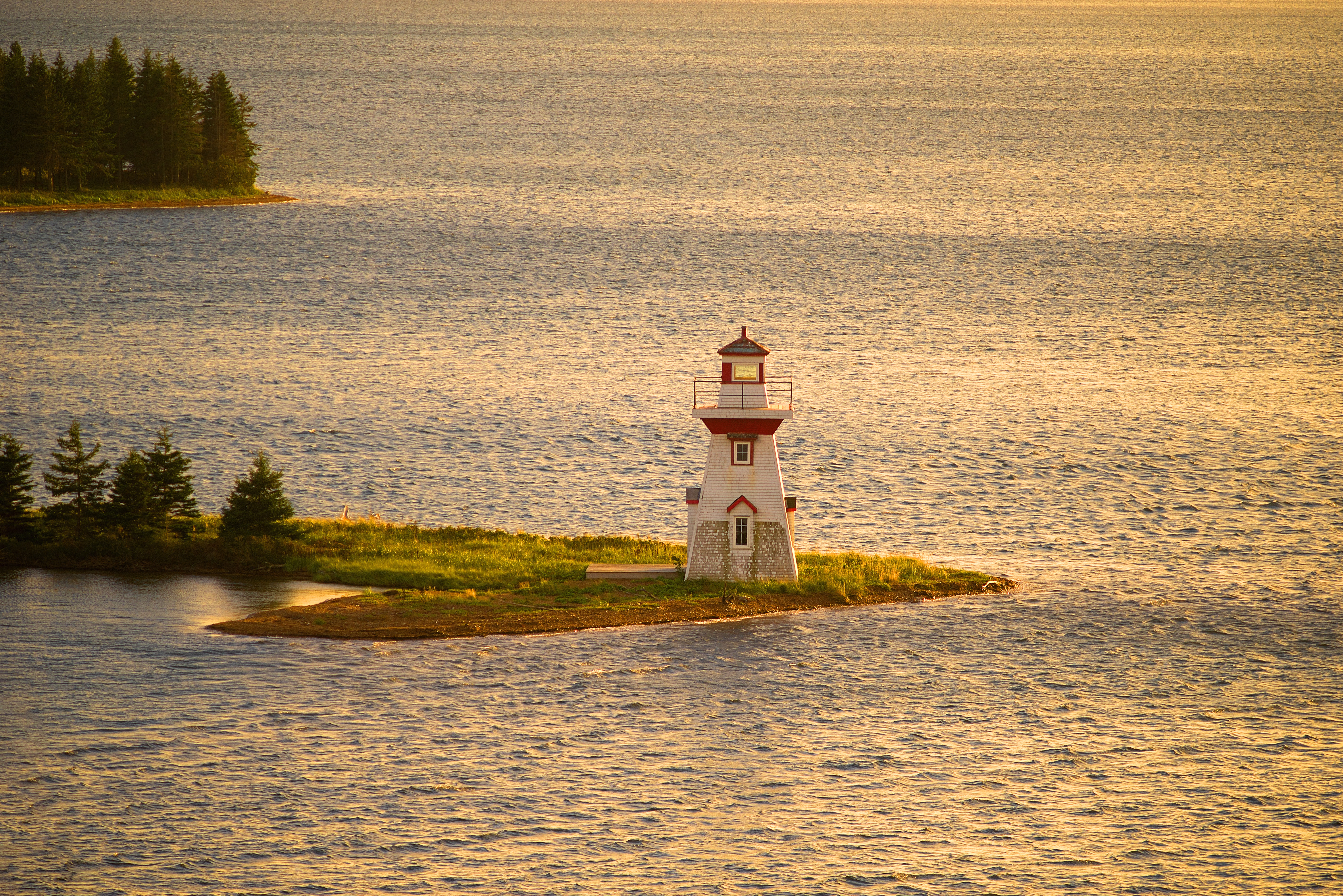
McNeill Beach Light
The view from here

Toughing through another winter . . .
View heading back from the shore . . .
Oh Me Nerves . . !

Englishtown Ferry Never Looked So Good
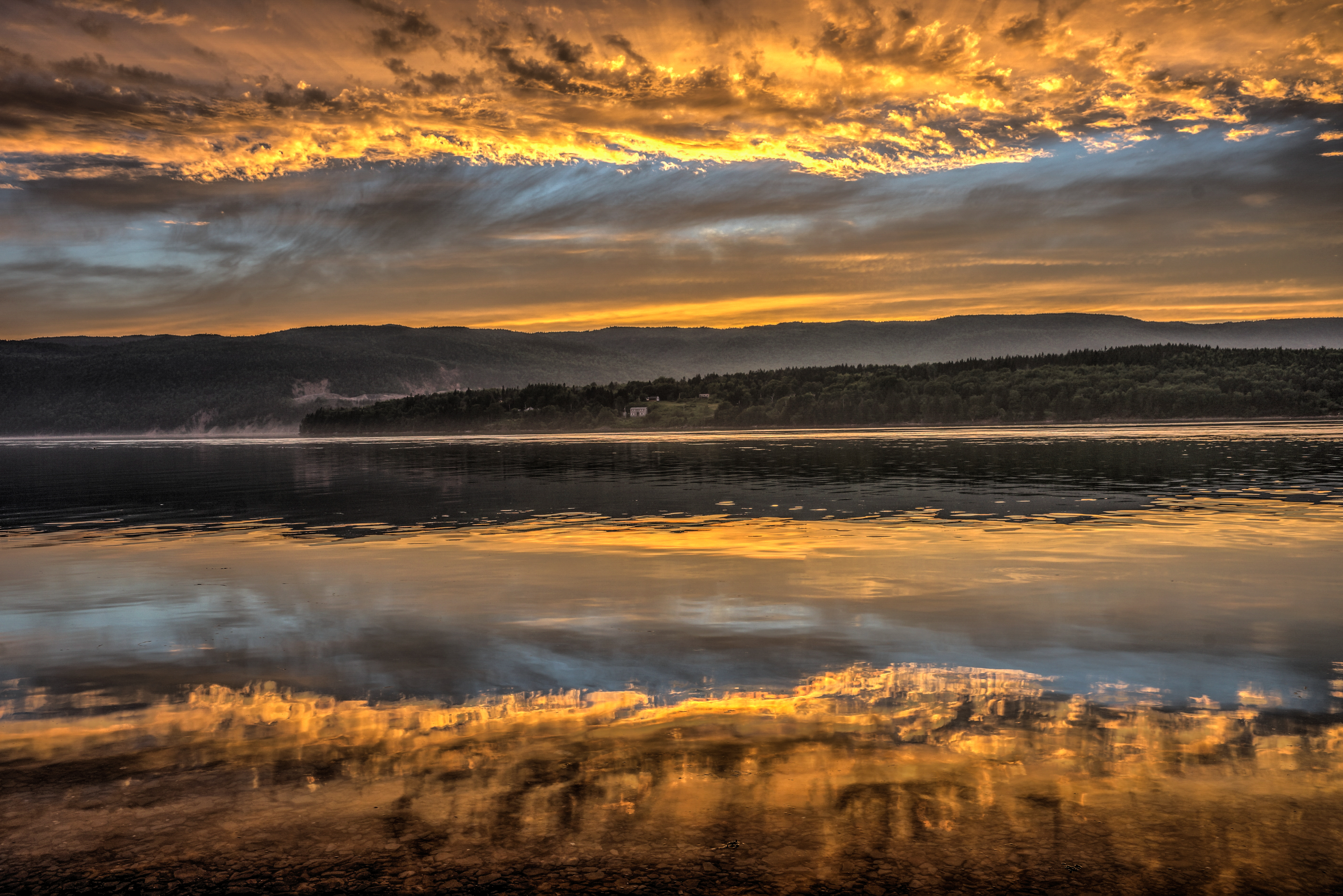
Early Evening Drama Unfolds

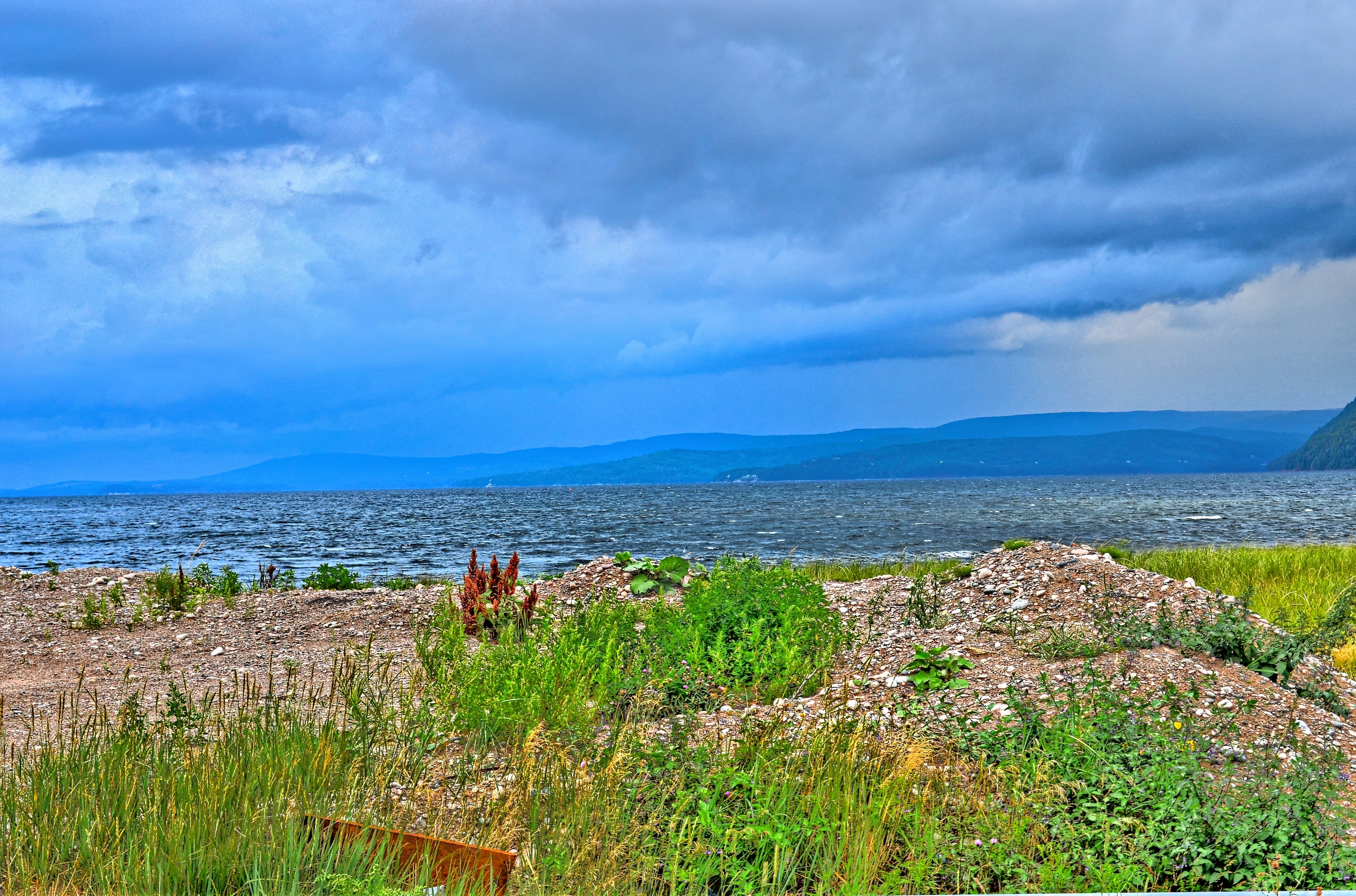
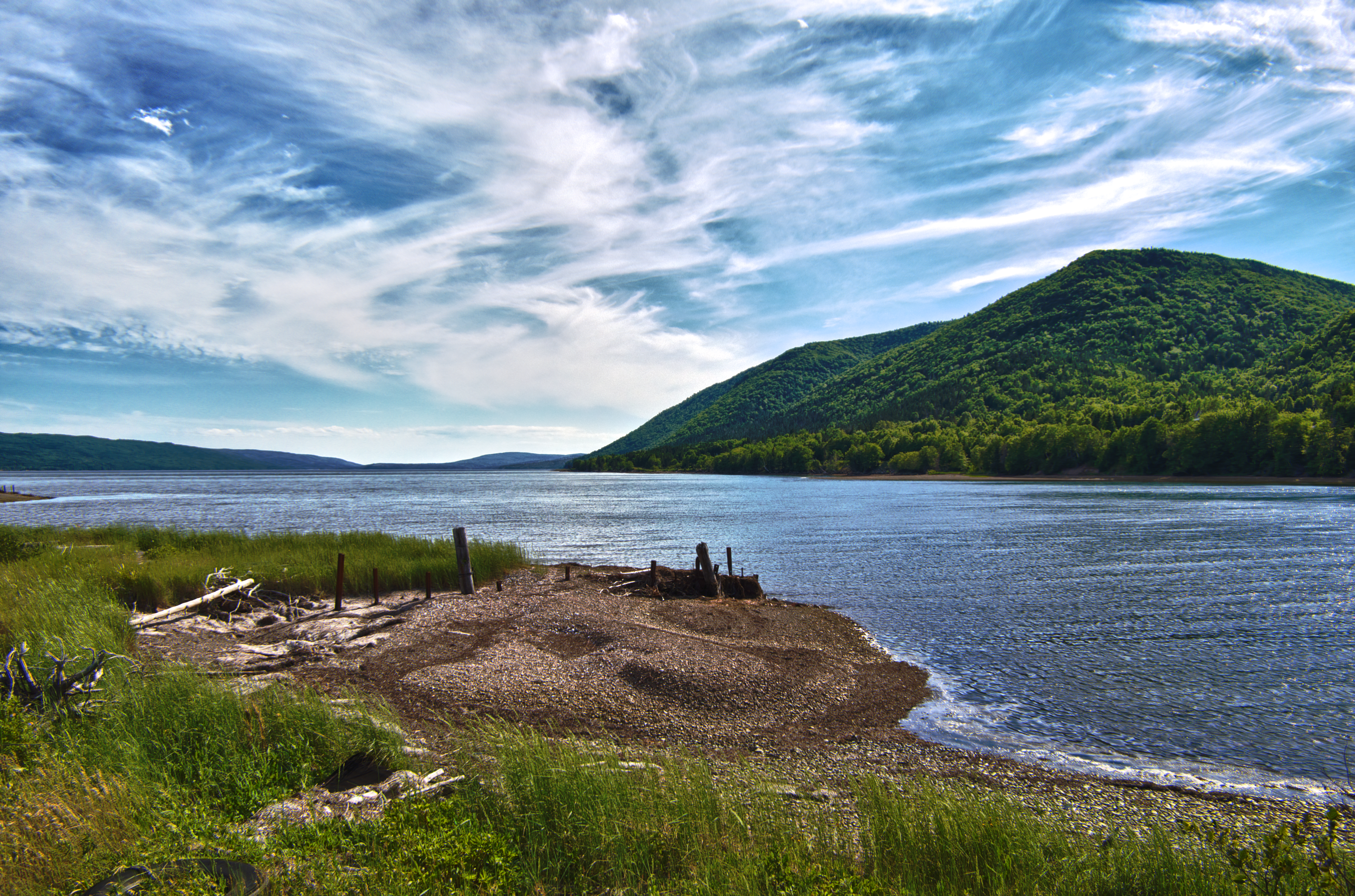
The lovely Bras d'Or
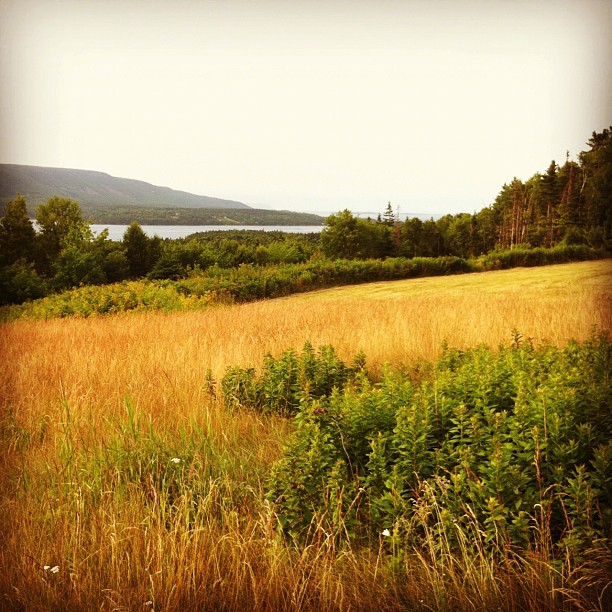
???????????????????? #fall #autumn #grass #leaves #nature #instanature #naturegram #scenery #landscape #water #mountains #seasons #outdoors #beautiful #eastcoastfall #eastcoast #capebreton #novascotia
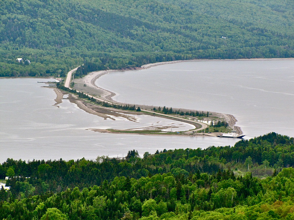
Englishtown Ferry
St Andrews Channel, Cape Breton Island

St. Marys Lookout, Cape Breton

Gulf of St. Lawrence
DSC_0225_6_7Enhancer ES
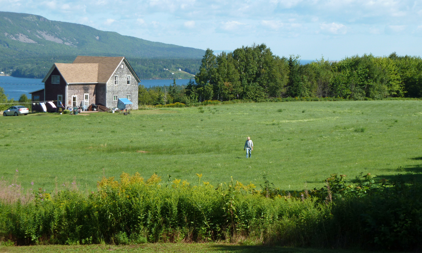
Old Man and the Field
St. Anne's Bay
Fairy Hole - Cape Dauphin
Out voted but not defeated.
Cabot Trail
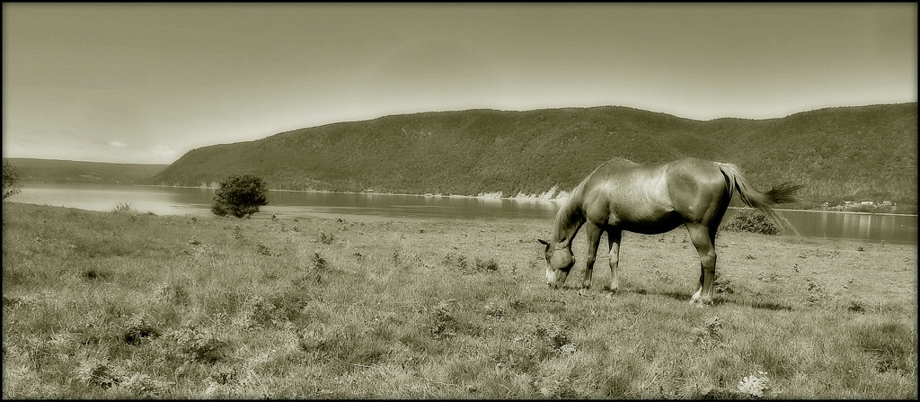
GRAZING HORSE, ENGLISHTOWN CAPE BRETON

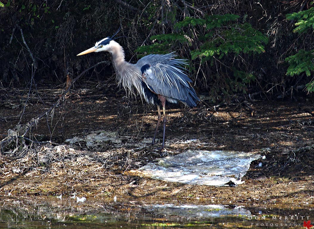
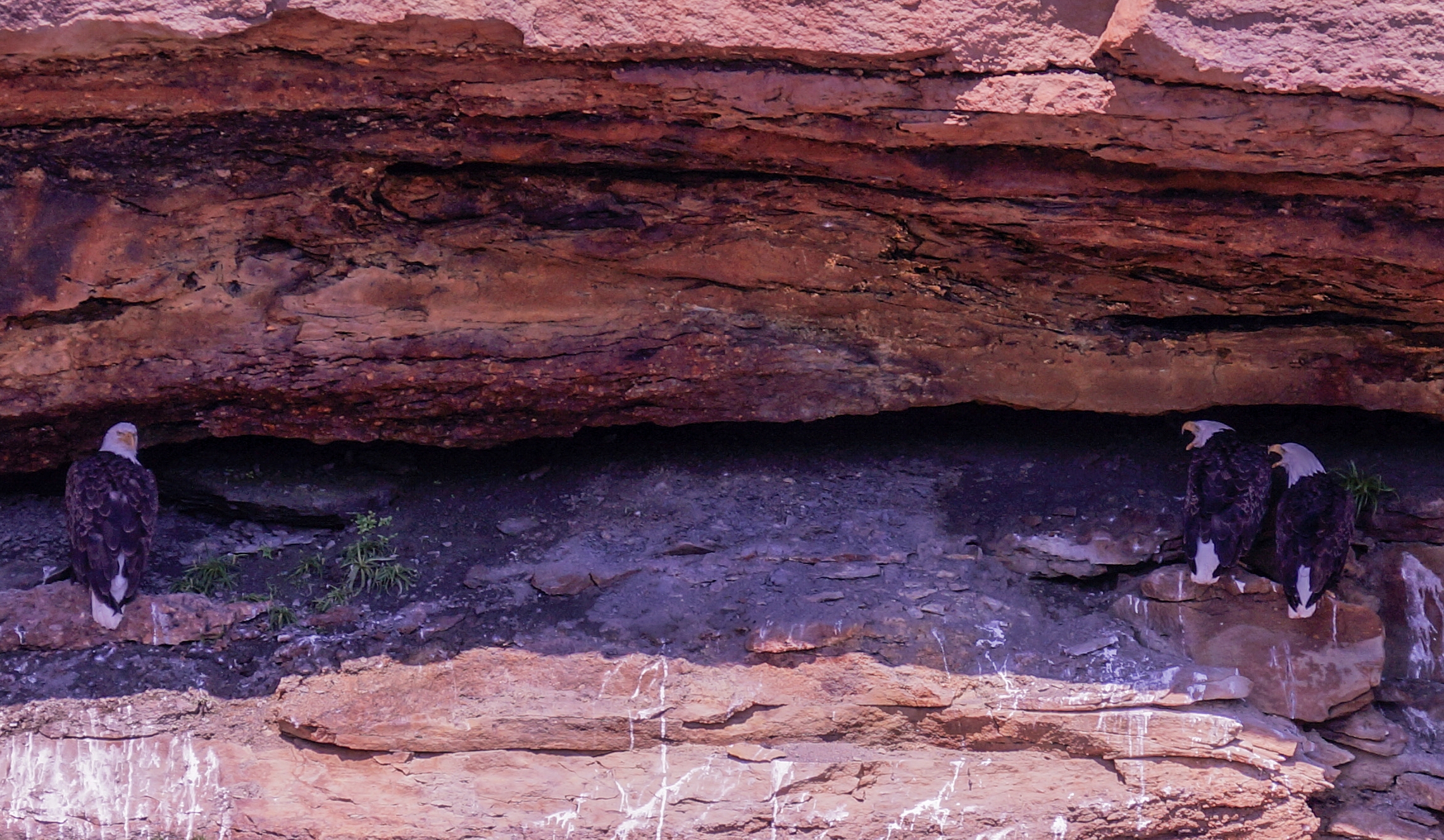
Bird watching - 59

Bird watching - 60
Cape Breton - Great Bras d'Or Channel

I'm gonna miss this
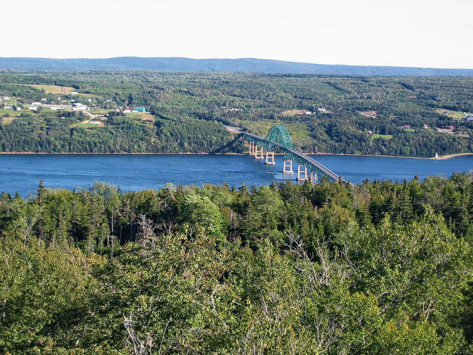
Seal Island Bridge and Great Bras d'Or Channel, Cape Breton Island
Topographic Map of New Harris, NS B1X, Canada
Find elevation by address:

Places in New Harris, NS B1X, Canada:
Places near New Harris, NS B1X, Canada:
84 Kellys View Dr, Boularderie, NS B1X 1Z3, Canada
Kellys Mountain
Black Head Road
Englishtown
Kempt Head Rd, Southside Boularderie, NS B1Y 2P9, Canada
South Side Of Boularderie
NS-, Englishtown, NS B0C 1H0, Canada
South Haven
Victoria, Subd. B
Boularderie
49962 Cabot Trail Rd
Murray Rd, Englishtown, NS B0C 1H0, Canada
Cabot Trail
Rooster Hill Rd, Baddeck, NS B0E 1B0, Canada
Kempt Head Rd, Ross Ferry, NS B1X 1N8, Canada
Kempt Head Rd, Ross Ferry, NS B1X 1N9, Canada
Tarbot
Ross Ferry
208 Meadow Rd
9368 Kempt Head Rd
Recent Searches:
- Elevation of Corso Fratelli Cairoli, 35, Macerata MC, Italy
- Elevation of Tallevast Rd, Sarasota, FL, USA
- Elevation of 4th St E, Sonoma, CA, USA
- Elevation of Black Hollow Rd, Pennsdale, PA, USA
- Elevation of Oakland Ave, Williamsport, PA, USA
- Elevation of Pedrógão Grande, Portugal
- Elevation of Klee Dr, Martinsburg, WV, USA
- Elevation of Via Roma, Pieranica CR, Italy
- Elevation of Tavkvetili Mountain, Georgia
- Elevation of Hartfords Bluff Cir, Mt Pleasant, SC, USA