Elevation of Tarbot, NS B0E 2C0, Canada
Location: Canada > Nova Scotia > Inverness County > Inverness, Subd. A > Margaree Valley >
Longitude: -60.616667
Latitude: 46.333333
Elevation: 76m / 249feet
Barometric Pressure: 100KPa
Elevation Map:
Satellite Map:
Related Photos:

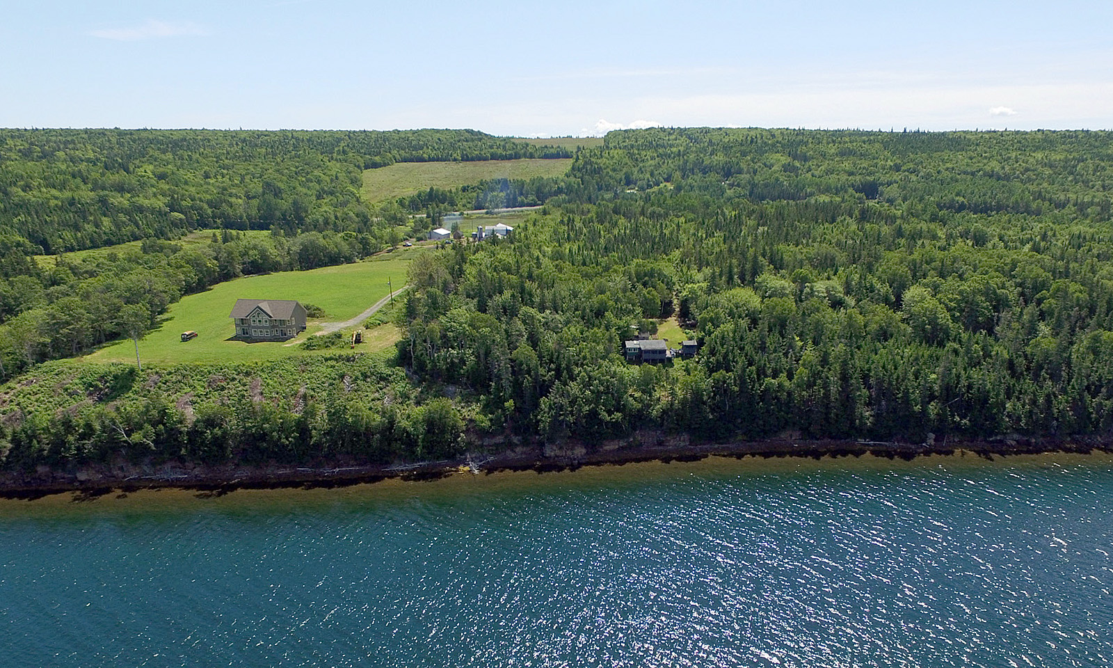
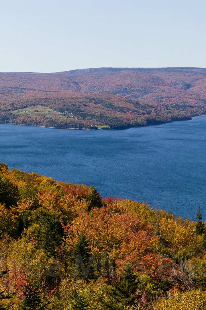
St Anne's Bay

ocean view

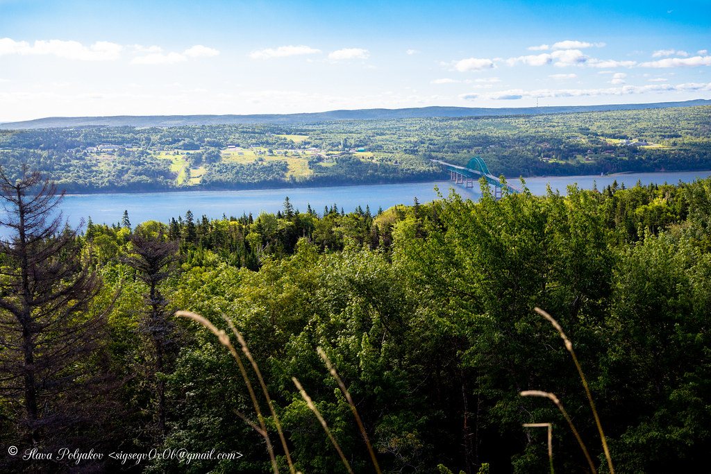
View from Kelly’s Mountain

View from Kelly’s Mountain

the view

Cabot Trail Shore
Spectacle-ar!

View from Kelly's Mountain, overlooking Englishtown Ferry, Cape Breton Nova Scotia

View of Jersey Cove, just off the Englishtown Ferry, Cape Breton Nova Scotia

DGJ_4883 - Seal Island Bridge
View from Kelly's Mountain, Cape Breton Nova Scotia

McNeill Beach Light

Seal Island Bridge

Cabot Trail Landscape
"promises from yesterday"
Cabot Trail Beach

Cabot Trail
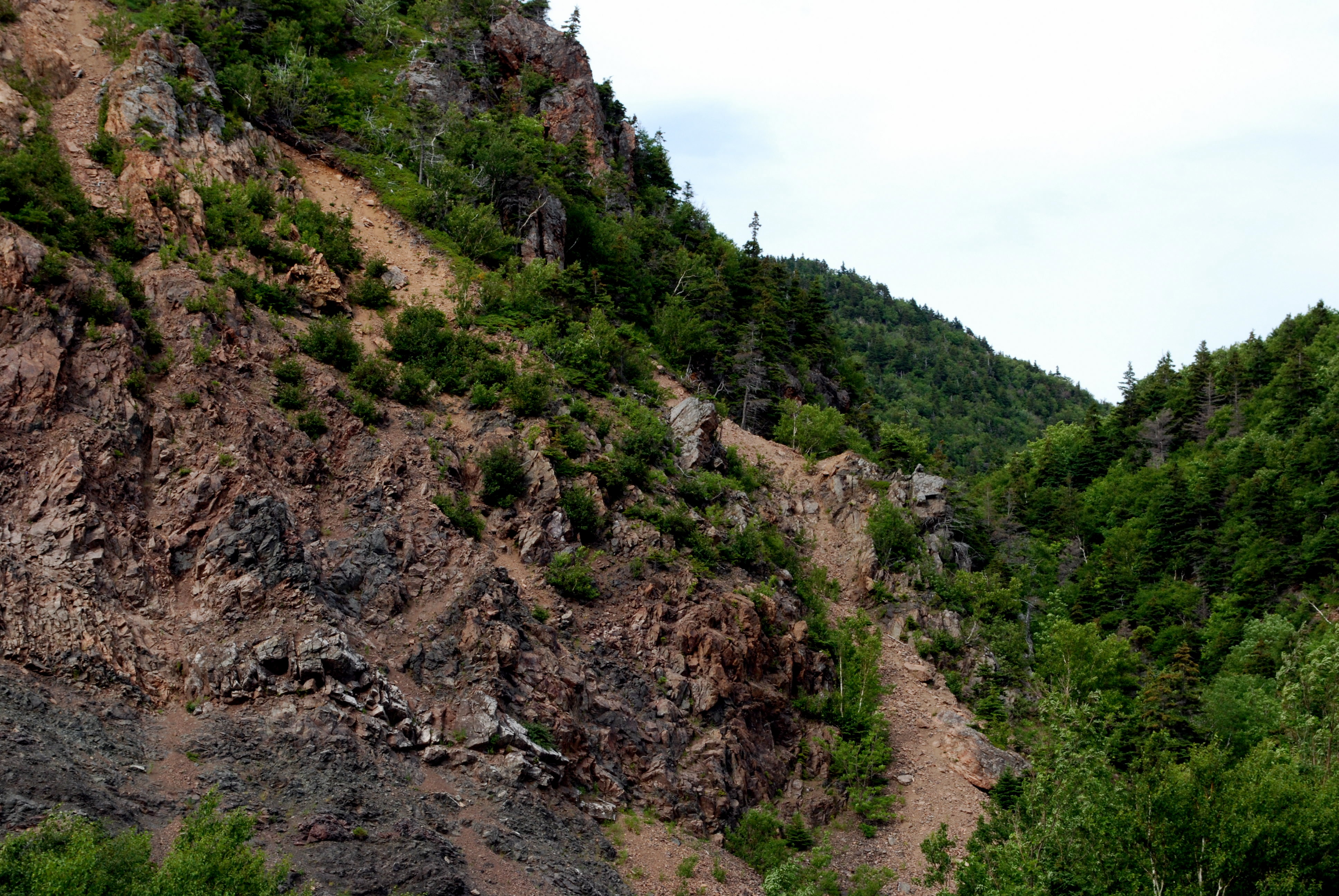
Cliffs of Insanity 2
The context
View over Seal Island Suspension Bridge
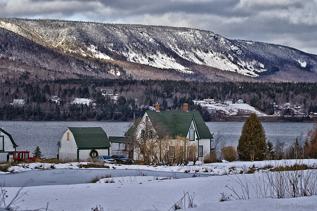
Winter Farm

Lazy Morning

St Anne Lookout over Lake Bras d’Or

The Seal Island Bridge, Cape Breton, NS

St. Anns Harbour

Cape Breton: Little Falls, North River

Vacances 2010

Early morning reflections

Englishtown Ferry
St. Marys Lookout, Cape Breton

Early Evening Drama Unfolds

Big Bras d'Or and Seal Island Bridge

St. Anne's Bay
Topographic Map of Tarbot, NS B0E 2C0, Canada
Find elevation by address:

Places near Tarbot, NS B0E 2C0, Canada:
208 Meadow Rd
Murray Rd, Englishtown, NS B0C 1H0, Canada
Cabot Trail
North River Provincial Park
Rooster Hill Rd, Baddeck, NS B0E 1B0, Canada
49962 Cabot Trail Rd
NS-, Englishtown, NS B0C 1H0, Canada
Englishtown
Black Head Road
Victoria, Subd. B
Kellys Mountain
South Haven
New Harris
84 Kellys View Dr, Boularderie, NS B1X 1Z3, Canada
Boularderie
Kempt Head Rd, Ross Ferry, NS B1X 1N9, Canada
Kempt Head Rd, Ross Ferry, NS B1X 1N8, Canada
South Side Of Boularderie
Orangedale Presbyterian Church
NS-, Baddeck, NS B0E 1B0, Canada
Recent Searches:
- Elevation of Corso Fratelli Cairoli, 35, Macerata MC, Italy
- Elevation of Tallevast Rd, Sarasota, FL, USA
- Elevation of 4th St E, Sonoma, CA, USA
- Elevation of Black Hollow Rd, Pennsdale, PA, USA
- Elevation of Oakland Ave, Williamsport, PA, USA
- Elevation of Pedrógão Grande, Portugal
- Elevation of Klee Dr, Martinsburg, WV, USA
- Elevation of Via Roma, Pieranica CR, Italy
- Elevation of Tavkvetili Mountain, Georgia
- Elevation of Hartfords Bluff Cir, Mt Pleasant, SC, USA