Elevation of New Corinth Rd, Blaine, TN, USA
Location: United States > Tennessee > Grainger County > Blaine >
Longitude: -83.617237
Latitude: 36.1669065
Elevation: 332m / 1089feet
Barometric Pressure: 97KPa
Elevation Map:
Satellite Map:
Related Photos:

Grainger County, TN Courthouse - Rutledge, TN

W4T/RV-035 - House Mtn View

W4T/RV-035 - House Mtn View

Once was a home near Blaine, TN

View from the Vestibule

Mill Springs Store

W. Graham Claytor's Marker Light

Five Chimneys Rear View

The View from the Western Overlook

Mossy Creek WVA

Top Trail

Red Barn on a Sea of Green.

View from the Eastern Overlook

View NE

The View from the Western Overlook

The View from the Western Overlook

The View to the North

The View from the Western Overlook

View Towards Chilhowee Mountain

Signal Point
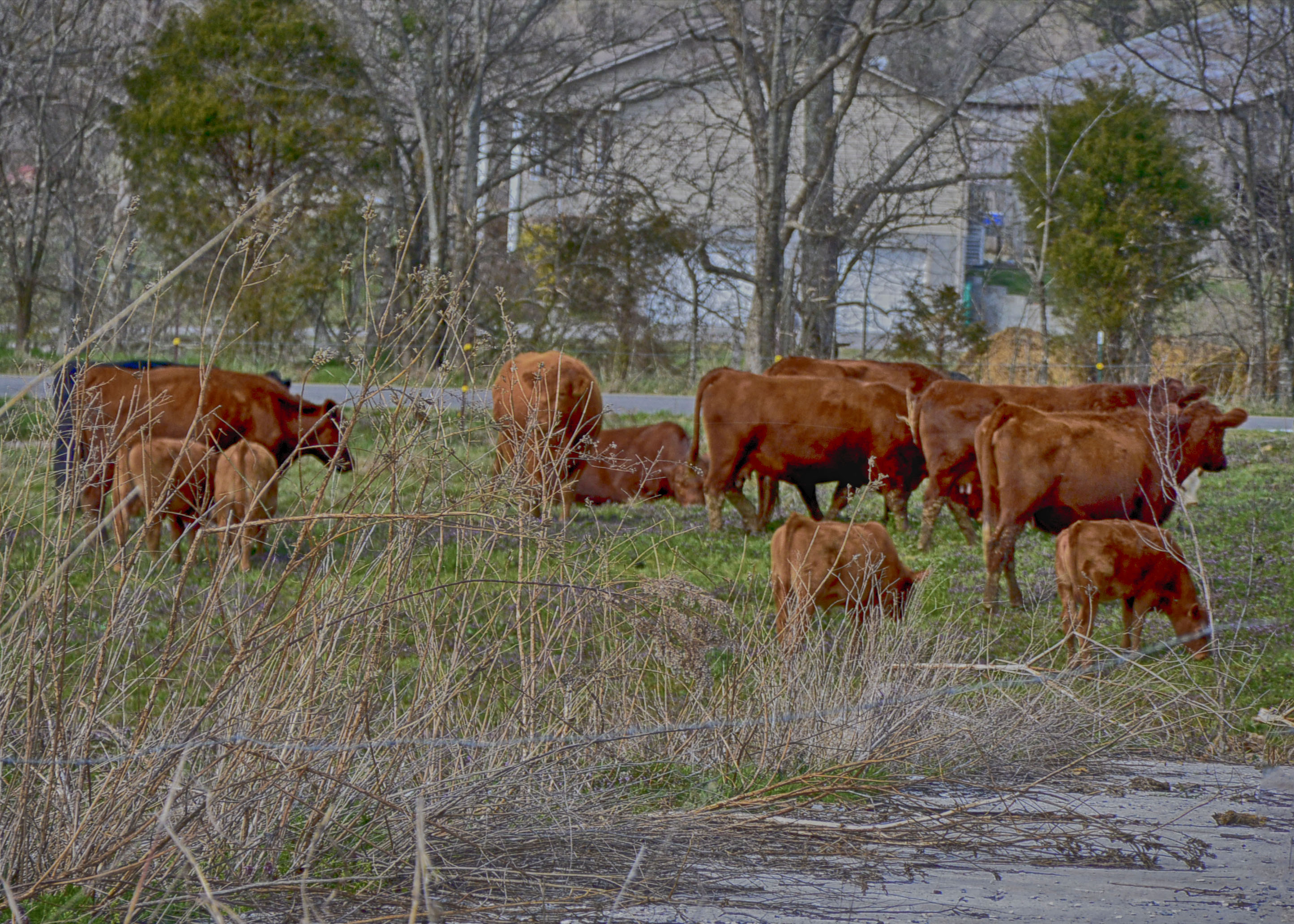
Rockey Valley Rd Cattle 098

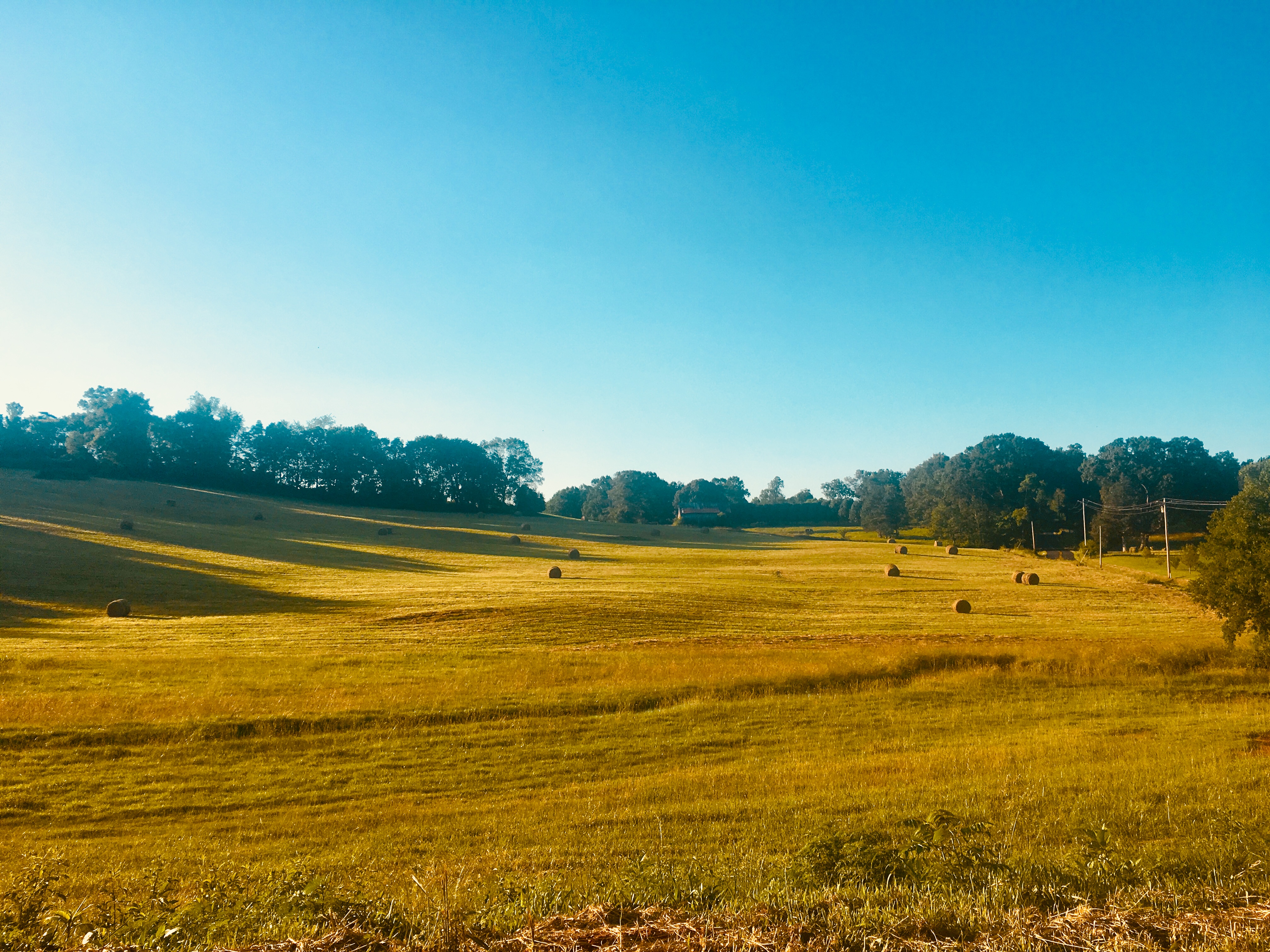
Rockey Valley Rd pasture 036a

Rockey Valley Rd pasture 036ab

Buffalo Creek Cascade

Tennesse Mountains
East Tennessee

Y'know: not a bad place for a conference, I guess. #tennessee #thisviewactuallyexplodesmymindeverytime #sweetteaisgettingmejacked #hopingtomakeittodollywood #90percenthumidity #boobsweat

2016-02-02 10.25.19

35Q crosses the Holston River

Memory on Mine Road

2016-02-02 10.13.27

2015-10-14 17.30.57

2015-10-14 17.31.15

House Mountain - October 2014-6

'brellas

Autumn Landscape
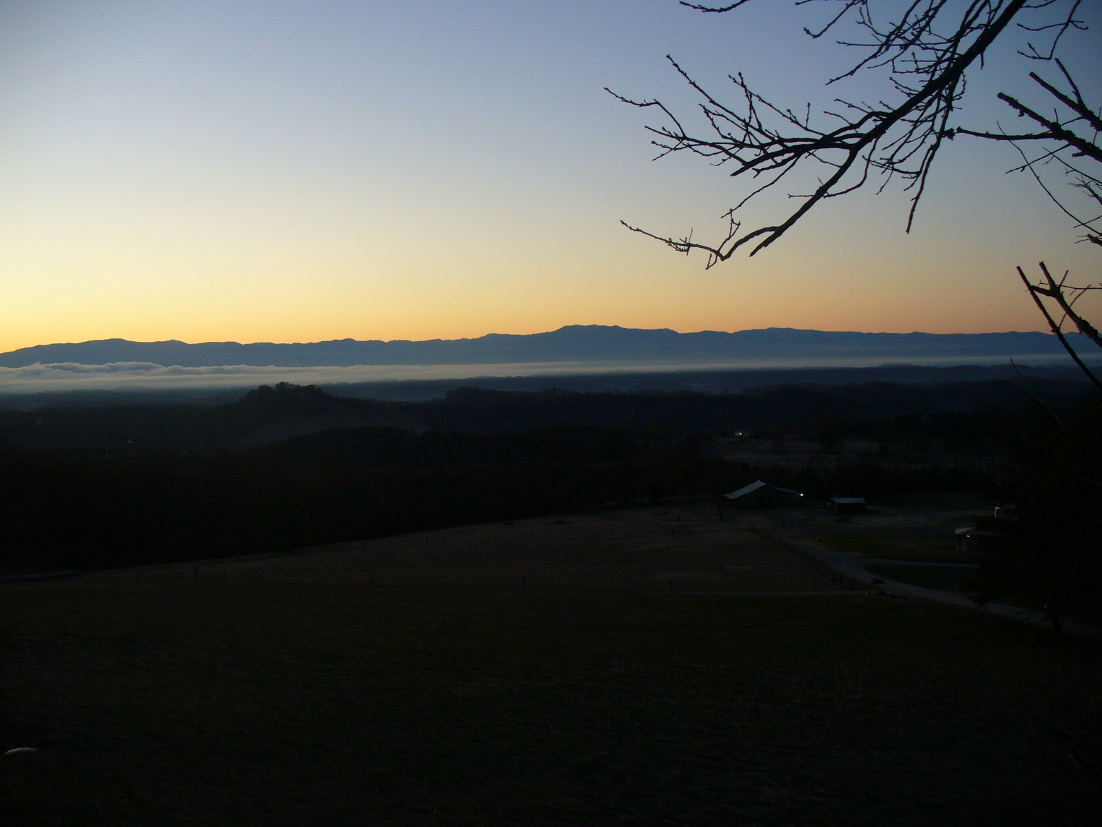
Smokey Mountain Sunrise
2015-10-14 17.30.27

2016-02-02 10.04.58
Topographic Map of New Corinth Rd, Blaine, TN, USA
Find elevation by address:

Places near New Corinth Rd, Blaine, TN, USA:
1743 Holston River Dr
Odom Rd, Rutledge, TN, USA
147 Mary Ln
Good Hope Church Rd, New Market, TN, USA
Owl Hole Gap Rd, Rutledge, TN, USA
W Old A J Hwy, New Market, TN, USA
2307 Iris Ln
2586 Cochran Rd
1030 W Hwy 11e
1182 Mitchell Rd
New Market
2319 Iris Ln
New Market, TN, USA
1854 Rocky Valley Rd
3120 Blue Springs Rd
2892 Hickory Rd
Lakeshore Dr, Rutledge, TN, USA
Jefferson City
1182 Shields Ridge Rd
Crooke Rd, Jefferson City, TN, USA
Recent Searches:
- Elevation of Corso Fratelli Cairoli, 35, Macerata MC, Italy
- Elevation of Tallevast Rd, Sarasota, FL, USA
- Elevation of 4th St E, Sonoma, CA, USA
- Elevation of Black Hollow Rd, Pennsdale, PA, USA
- Elevation of Oakland Ave, Williamsport, PA, USA
- Elevation of Pedrógão Grande, Portugal
- Elevation of Klee Dr, Martinsburg, WV, USA
- Elevation of Via Roma, Pieranica CR, Italy
- Elevation of Tavkvetili Mountain, Georgia
- Elevation of Hartfords Bluff Cir, Mt Pleasant, SC, USA