Elevation of Lakeshore Dr, Rutledge, TN, USA
Location: United States > Tennessee > Grainger County > Rutledge >
Longitude: -83.490156
Latitude: 36.179752
Elevation: 352m / 1155feet
Barometric Pressure: 97KPa
Elevation Map:
Satellite Map:
Related Photos:
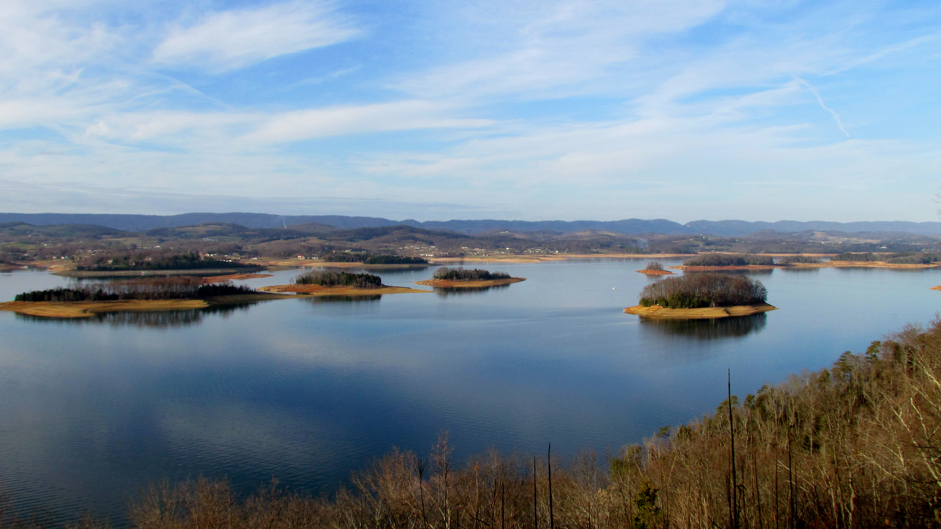
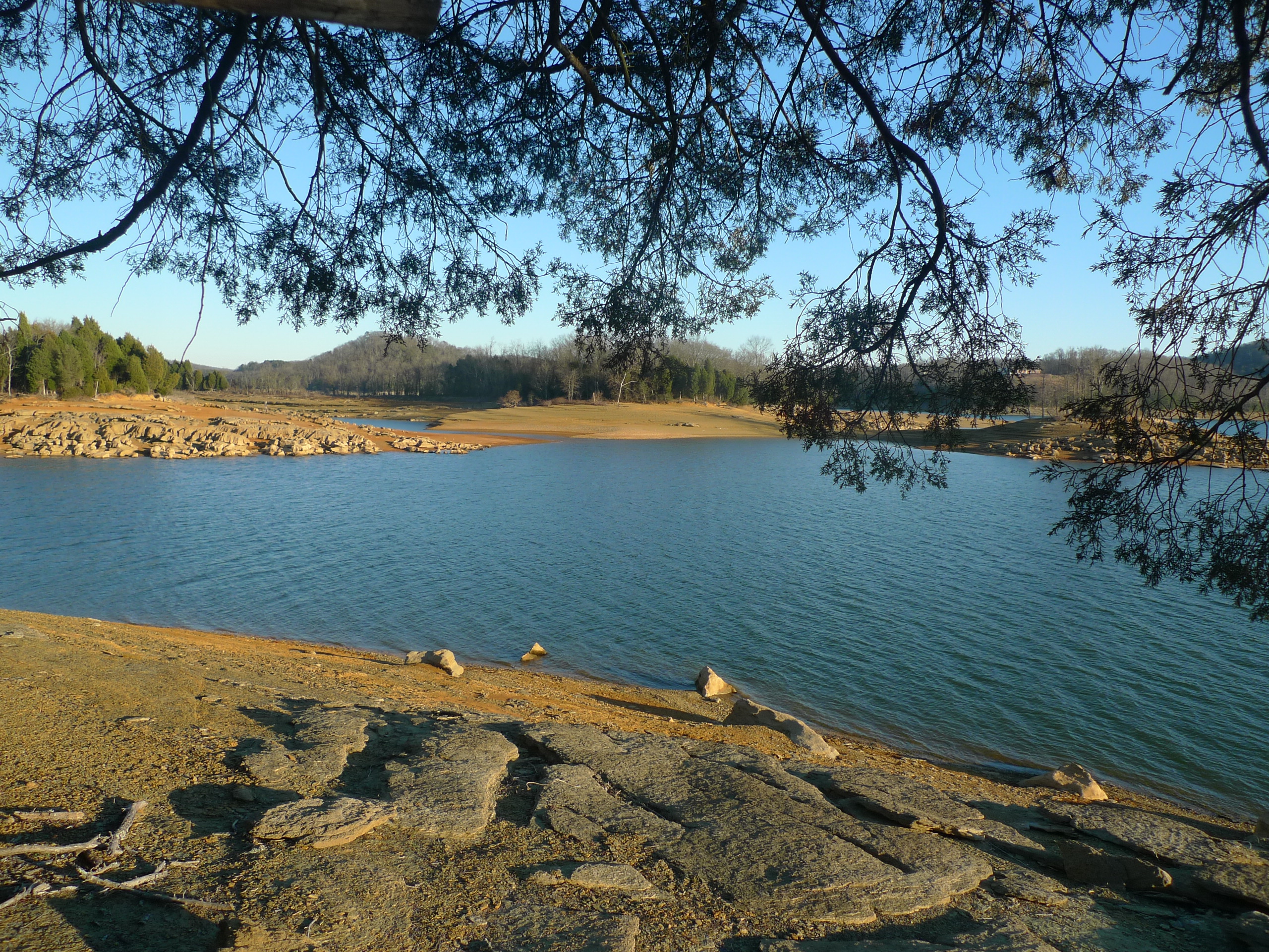
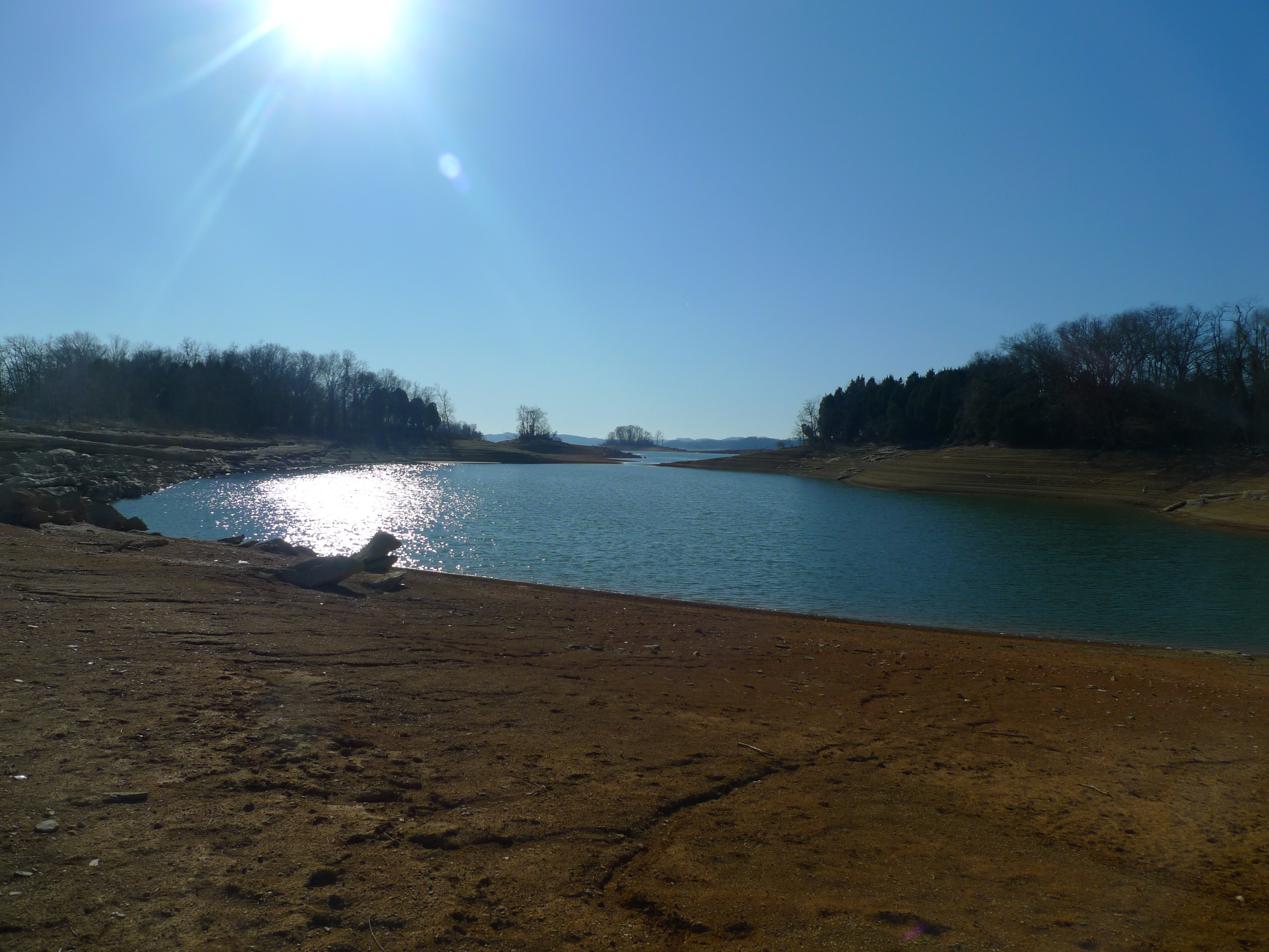
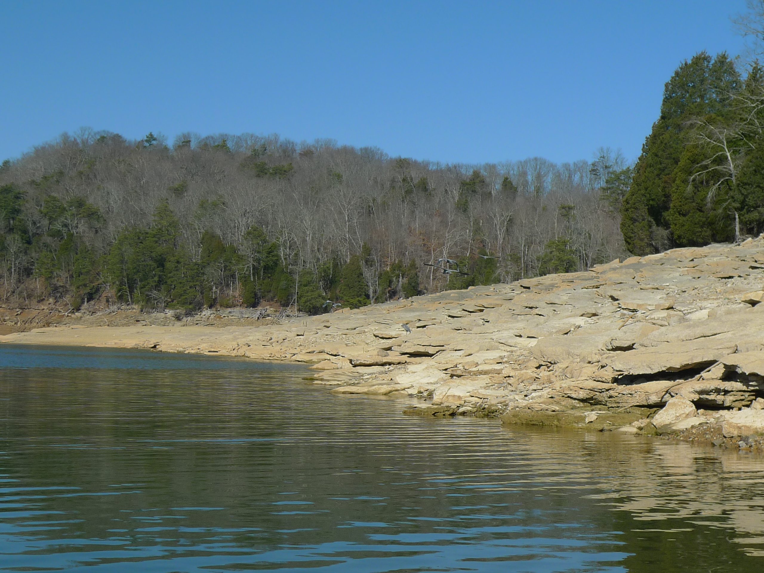
Cherokee Lake Panorama
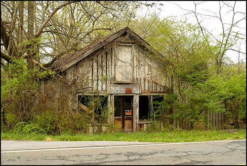
Mill Springs Store
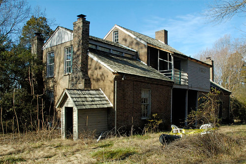
Five Chimneys Rear View
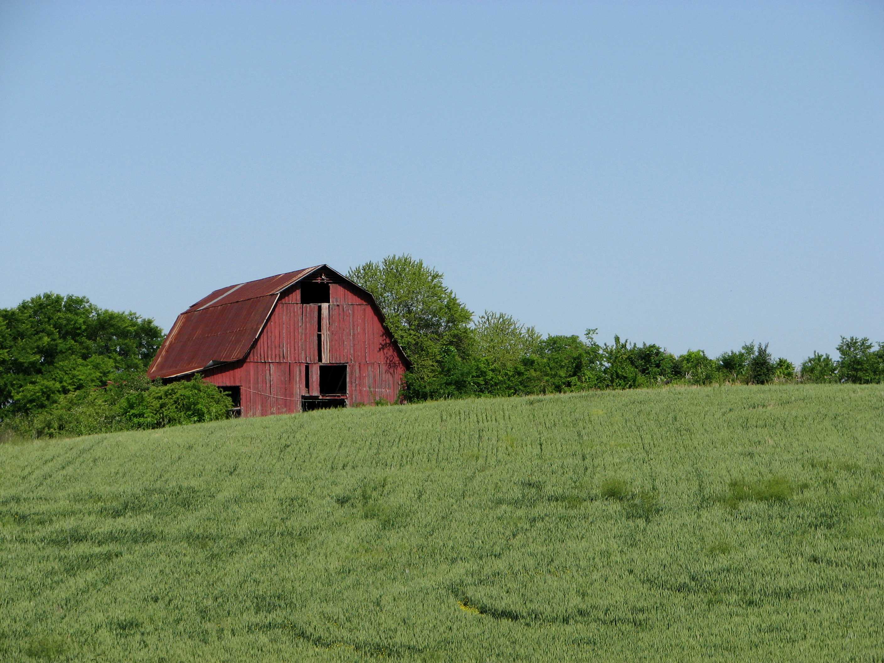
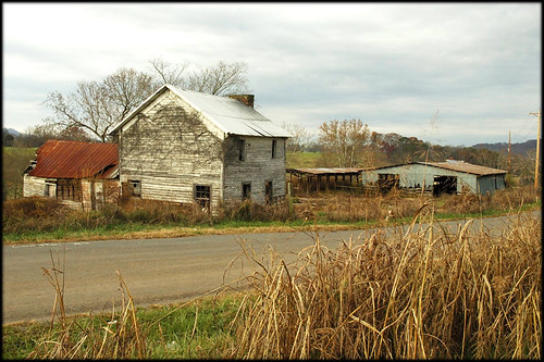
Red Barn on a Sea of Green.
Mossy Creek WVA
The View

Panther Creek trail

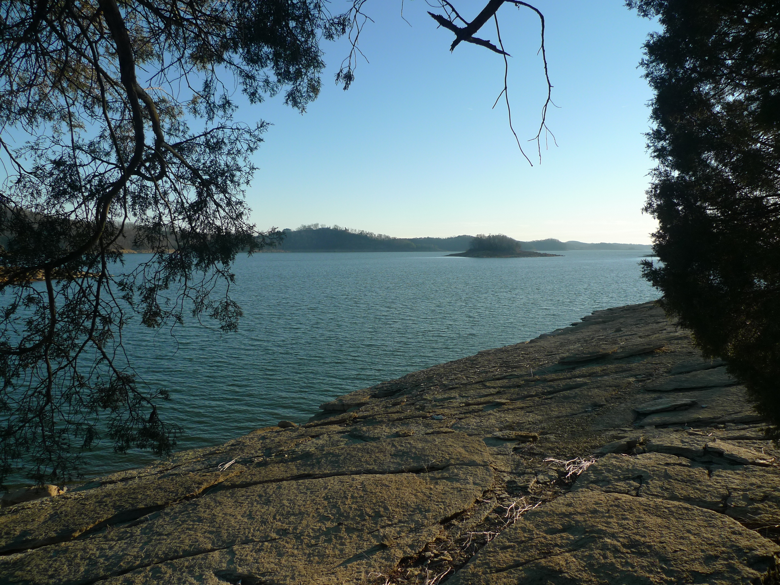
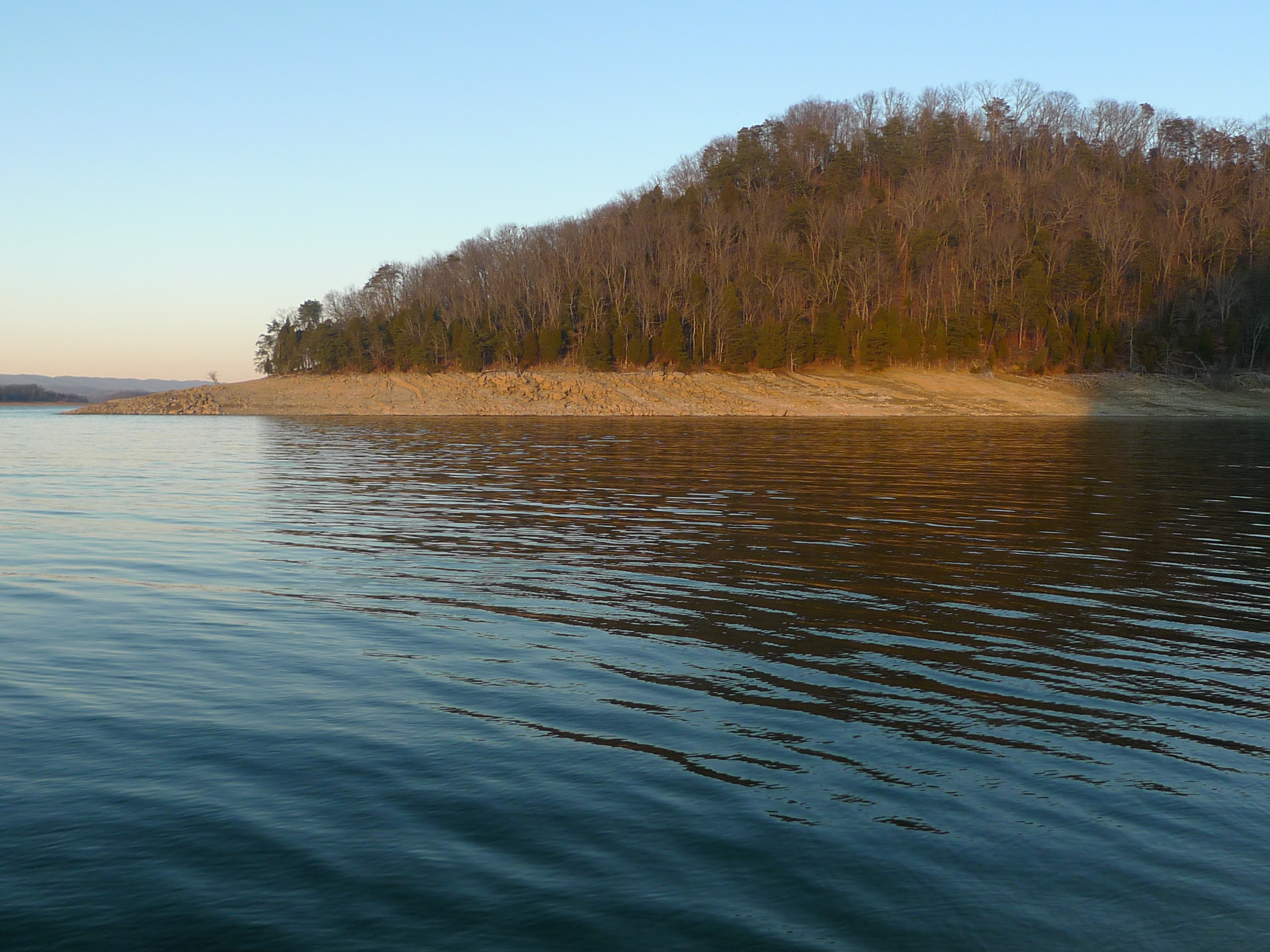
Cherokee Lake (1)
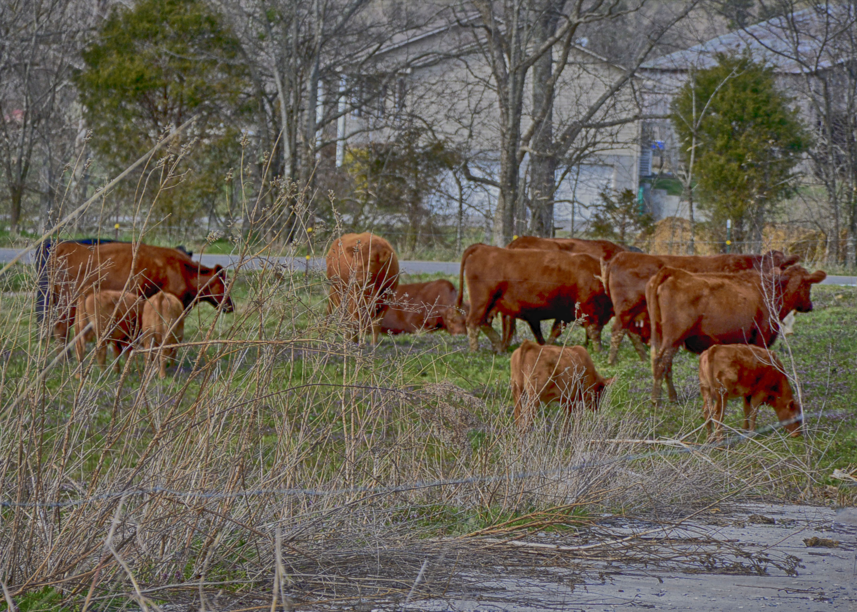
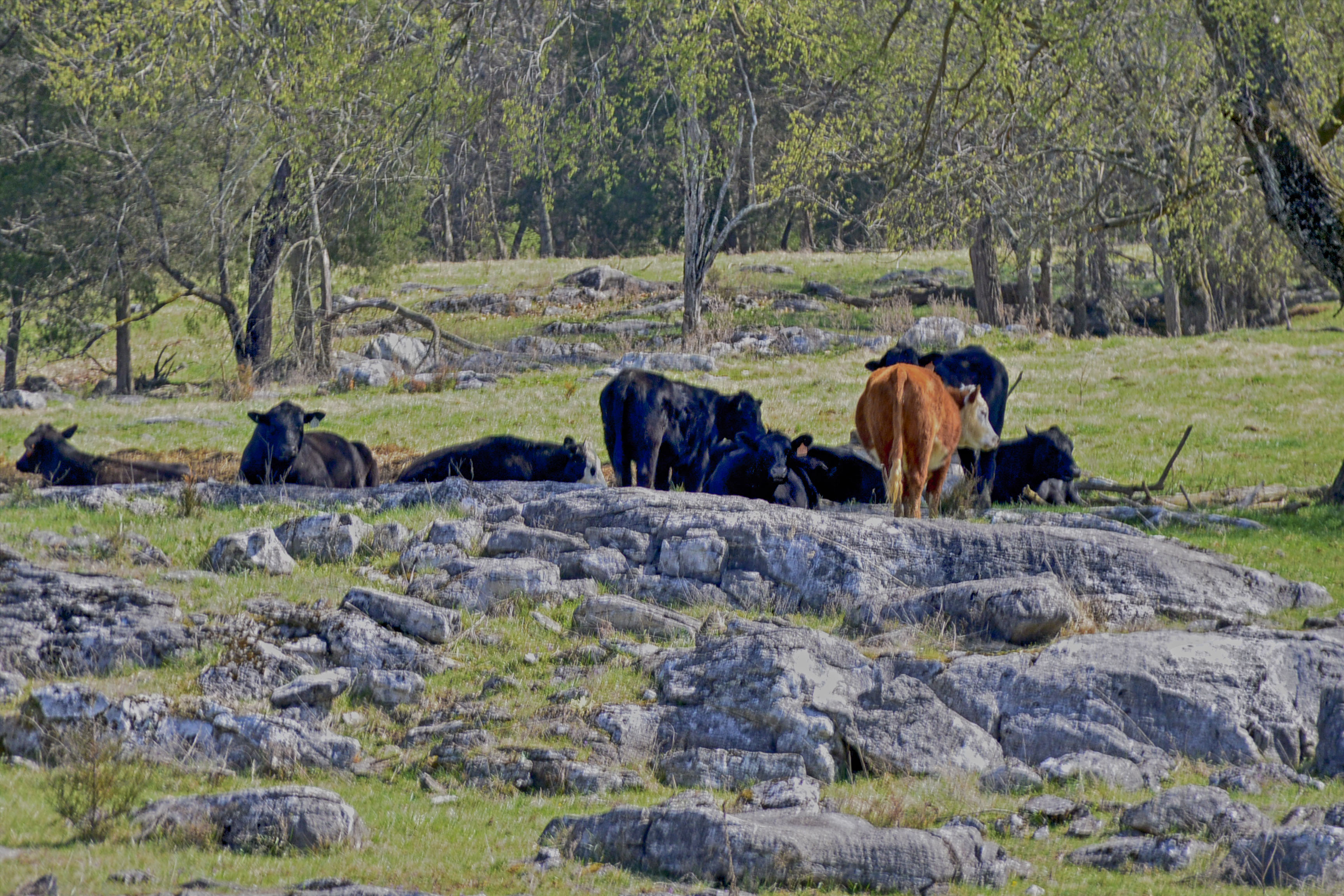
Rockey Valley Rd Cattle 098
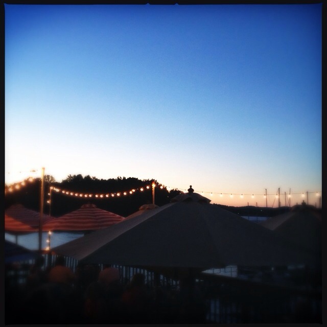
'brellas
Cove on Castaway Island - Cherokee Lake
Rockey Valley Rd pasture 036ab

Rockey Valley Rd pasture 036a
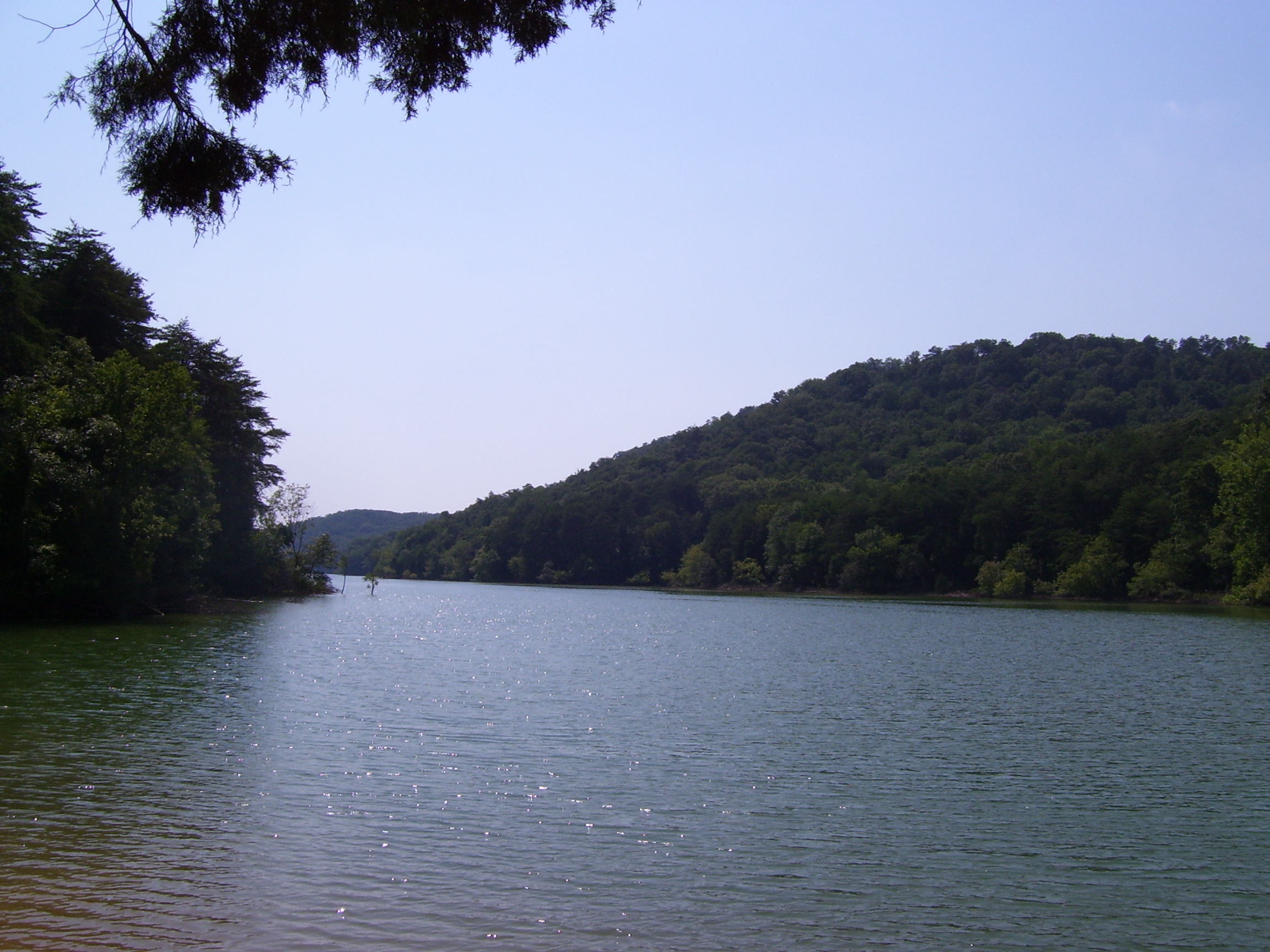
The Point

Sailboat adrift on Castaway Island
Memory on Mine Road
Cherokee - Castaway Island

Sunset on Cherokee Lake
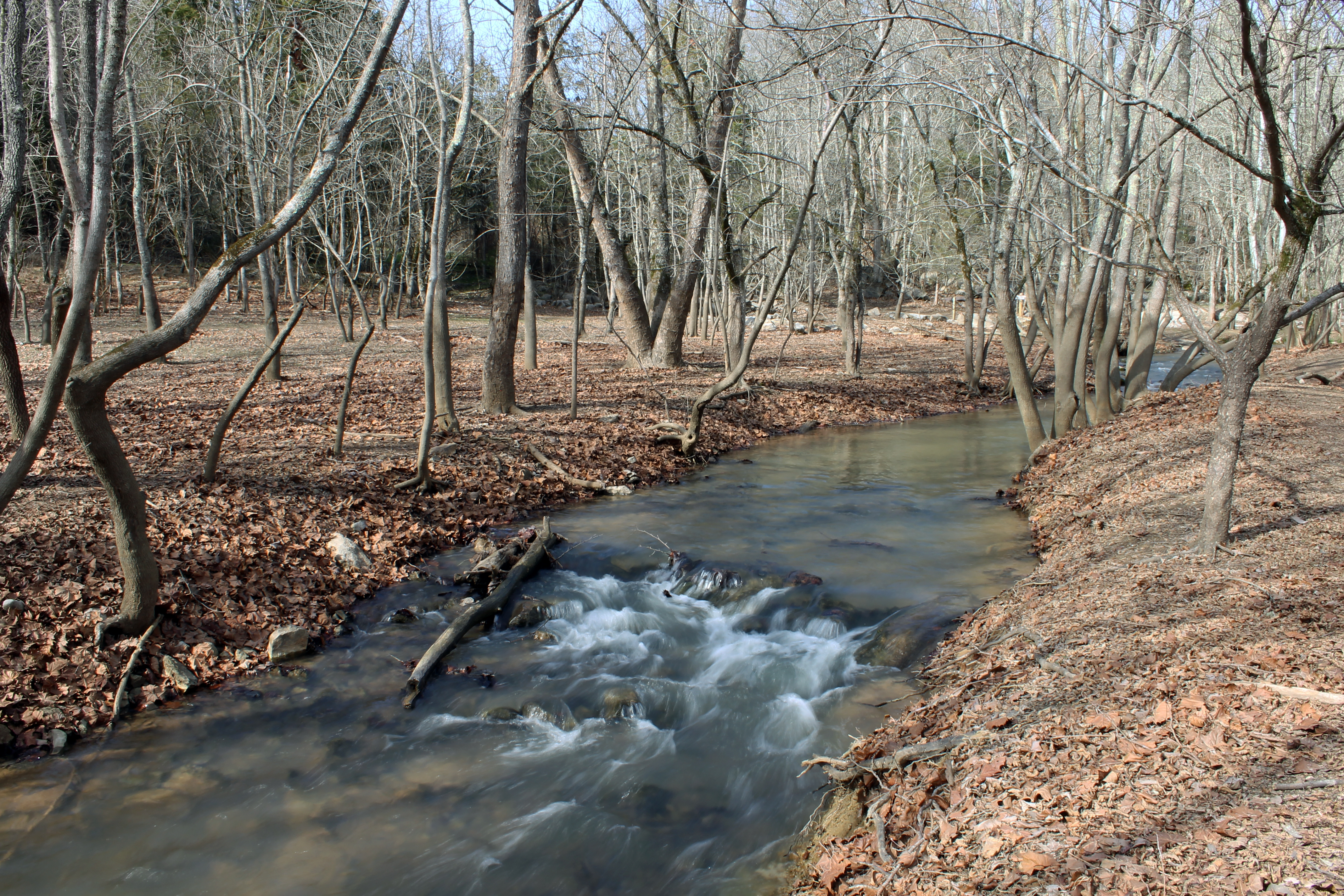
Waterfall in the Woods

Orange Clouds at Sunset

Sunsets on Cherokee Lake
Sunset on Cherokee
Cherokee Lake #1

Dead ahead Captain !
Crocodile Rock Cache

Approaching the Beach
Topographic Map of Lakeshore Dr, Rutledge, TN, USA
Find elevation by address:

Places near Lakeshore Dr, Rutledge, TN, USA:
1917 Pointe Dr
Wilderness Shores
700 Chahokia Dr
7797 Wells Rd
2449 Tarr Rd
7794 Wells Rd
2378 Tarr Rd
2319 Iris Ln
2586 Cochran Rd
2628 Sharon Cir
2307 Iris Ln
Green Cir, Talbott, TN, USA
Jefferson City
Allen Rd, Talbott, TN, USA
Good Hope Church Rd, New Market, TN, USA
Owl Hole Gap Rd, Rutledge, TN, USA
Crooke Rd, Jefferson City, TN, USA
Talbott
307 Britton Dr
6622 W Andrew Johnson Hwy
Recent Searches:
- Elevation of Corso Fratelli Cairoli, 35, Macerata MC, Italy
- Elevation of Tallevast Rd, Sarasota, FL, USA
- Elevation of 4th St E, Sonoma, CA, USA
- Elevation of Black Hollow Rd, Pennsdale, PA, USA
- Elevation of Oakland Ave, Williamsport, PA, USA
- Elevation of Pedrógão Grande, Portugal
- Elevation of Klee Dr, Martinsburg, WV, USA
- Elevation of Via Roma, Pieranica CR, Italy
- Elevation of Tavkvetili Mountain, Georgia
- Elevation of Hartfords Bluff Cir, Mt Pleasant, SC, USA