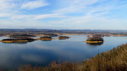
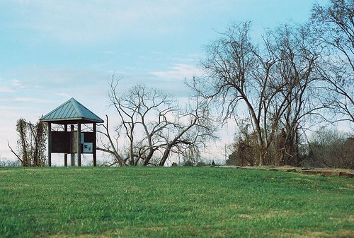
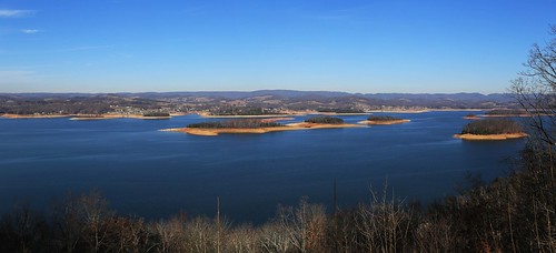
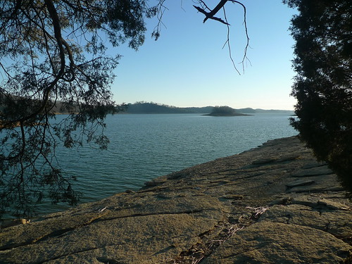
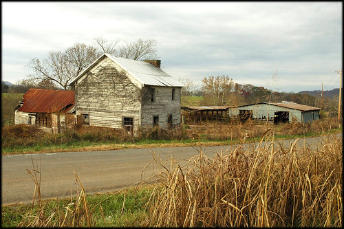
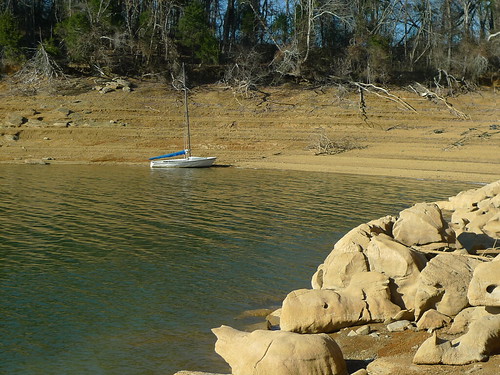
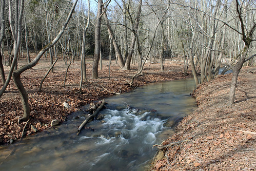
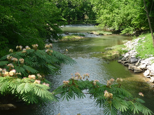
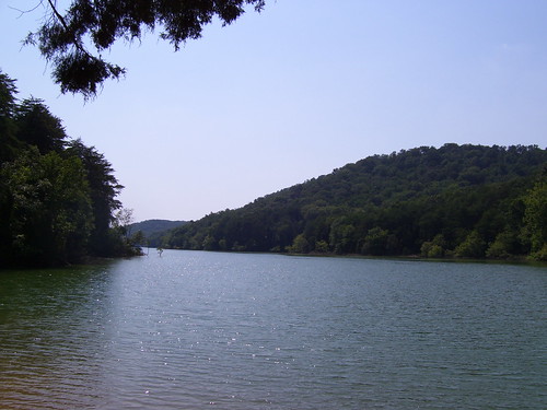
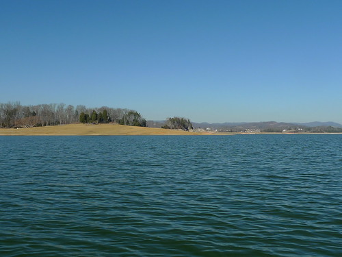
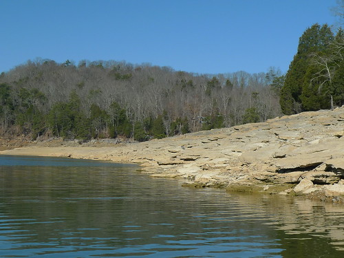
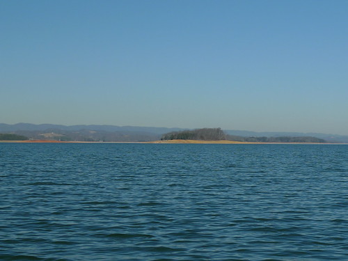
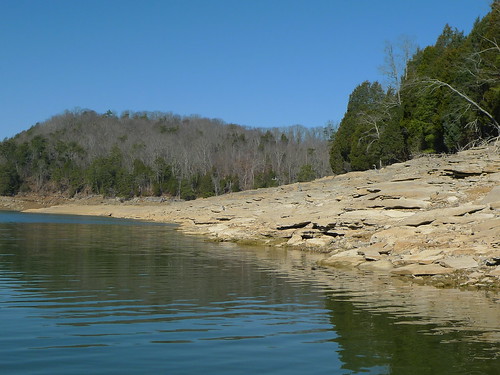
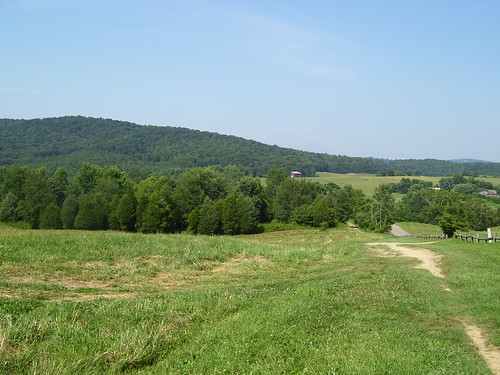
Elevation of Owl Hole Gap Rd, Rutledge, TN, USA
Location: United States > Tennessee > Grainger County > Rutledge >
Longitude: -83.556501
Latitude: 36.2078042
Elevation: 312m / 1024feet
Barometric Pressure: 98KPa
Related Photos:
Topographic Map of Owl Hole Gap Rd, Rutledge, TN, USA
Find elevation by address:

Places near Owl Hole Gap Rd, Rutledge, TN, USA:
Good Hope Church Rd, New Market, TN, USA
147 Mary Ln
1743 Holston River Dr
Odom Rd, Rutledge, TN, USA
2586 Cochran Rd
2307 Iris Ln
2319 Iris Ln
Lakeshore Dr, Rutledge, TN, USA
4895 New Corinth Rd
700 Chahokia Dr
1182 Mitchell Rd
1917 Pointe Dr
Wilderness Shores
New Market
Jefferson City
1030 W Hwy 11e
2449 Tarr Rd
7797 Wells Rd
7794 Wells Rd
W Old A J Hwy, New Market, TN, USA
Recent Searches:
- Elevation of Corso Fratelli Cairoli, 35, Macerata MC, Italy
- Elevation of Tallevast Rd, Sarasota, FL, USA
- Elevation of 4th St E, Sonoma, CA, USA
- Elevation of Black Hollow Rd, Pennsdale, PA, USA
- Elevation of Oakland Ave, Williamsport, PA, USA
- Elevation of Pedrógão Grande, Portugal
- Elevation of Klee Dr, Martinsburg, WV, USA
- Elevation of Via Roma, Pieranica CR, Italy
- Elevation of Tavkvetili Mountain, Georgia
- Elevation of Hartfords Bluff Cir, Mt Pleasant, SC, USA
