Elevation of Good Hope Church Rd, New Market, TN, USA
Location: United States > Tennessee > Jefferson County > New Market >
Longitude: -83.559484
Latitude: 36.178012
Elevation: 317m / 1040feet
Barometric Pressure: 98KPa
Elevation Map:
Satellite Map:
Related Photos:
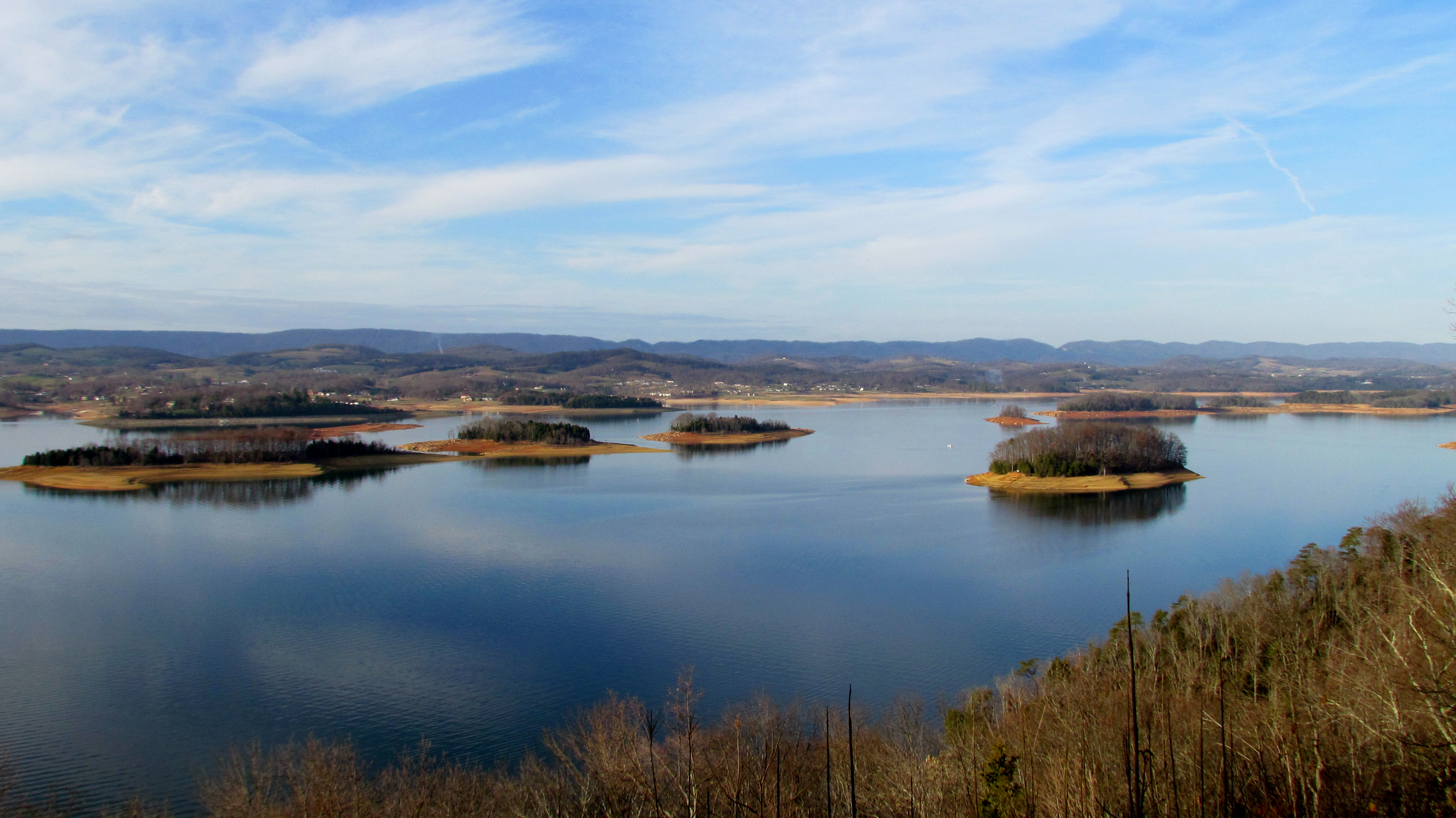
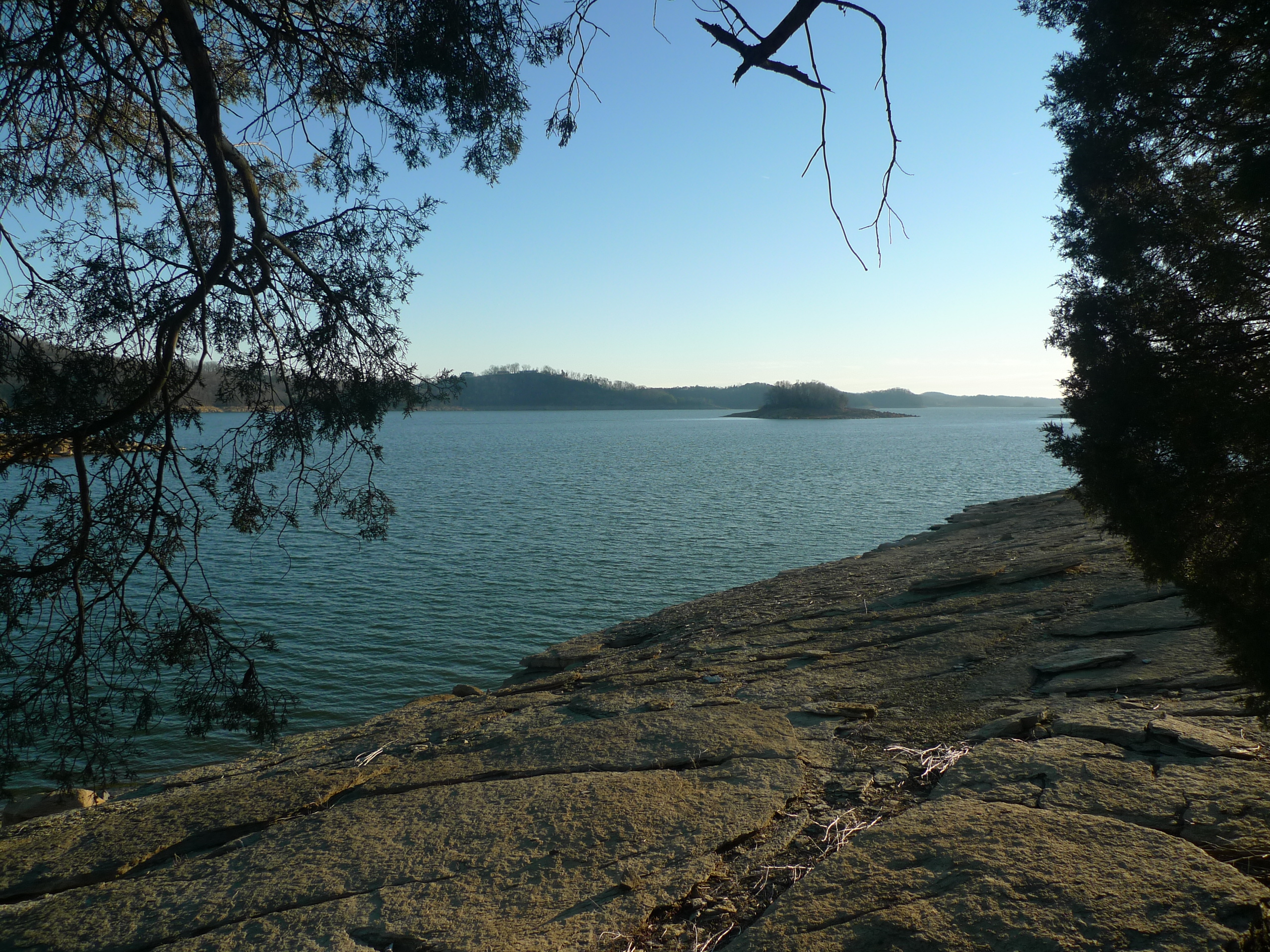
Cherokee Lake Panorama
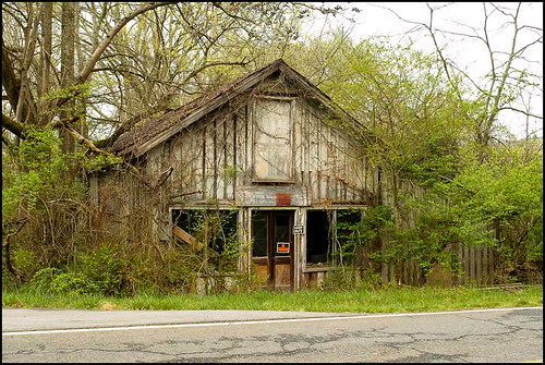
Mill Springs Store
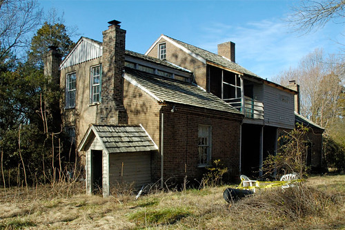
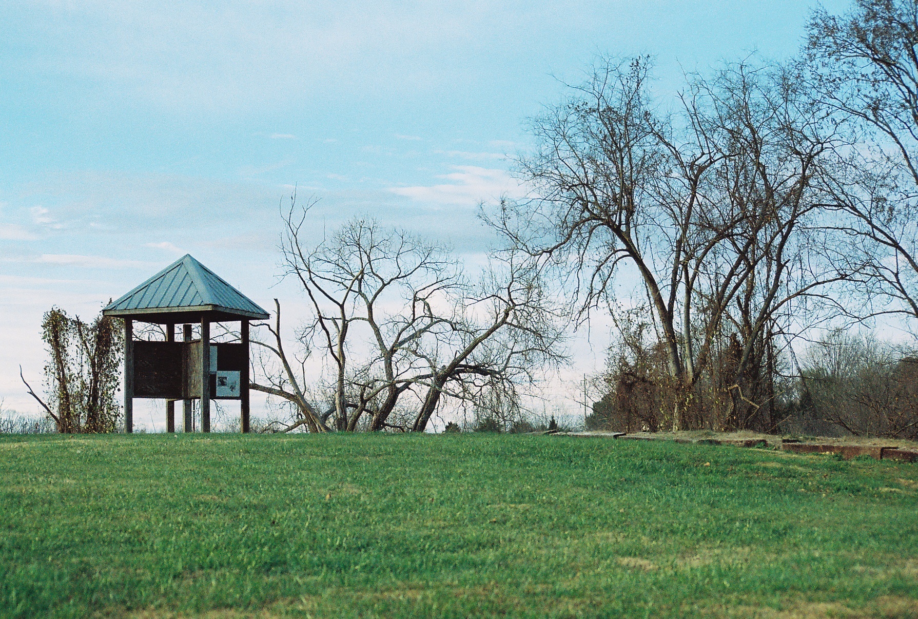
Five Chimneys Rear View
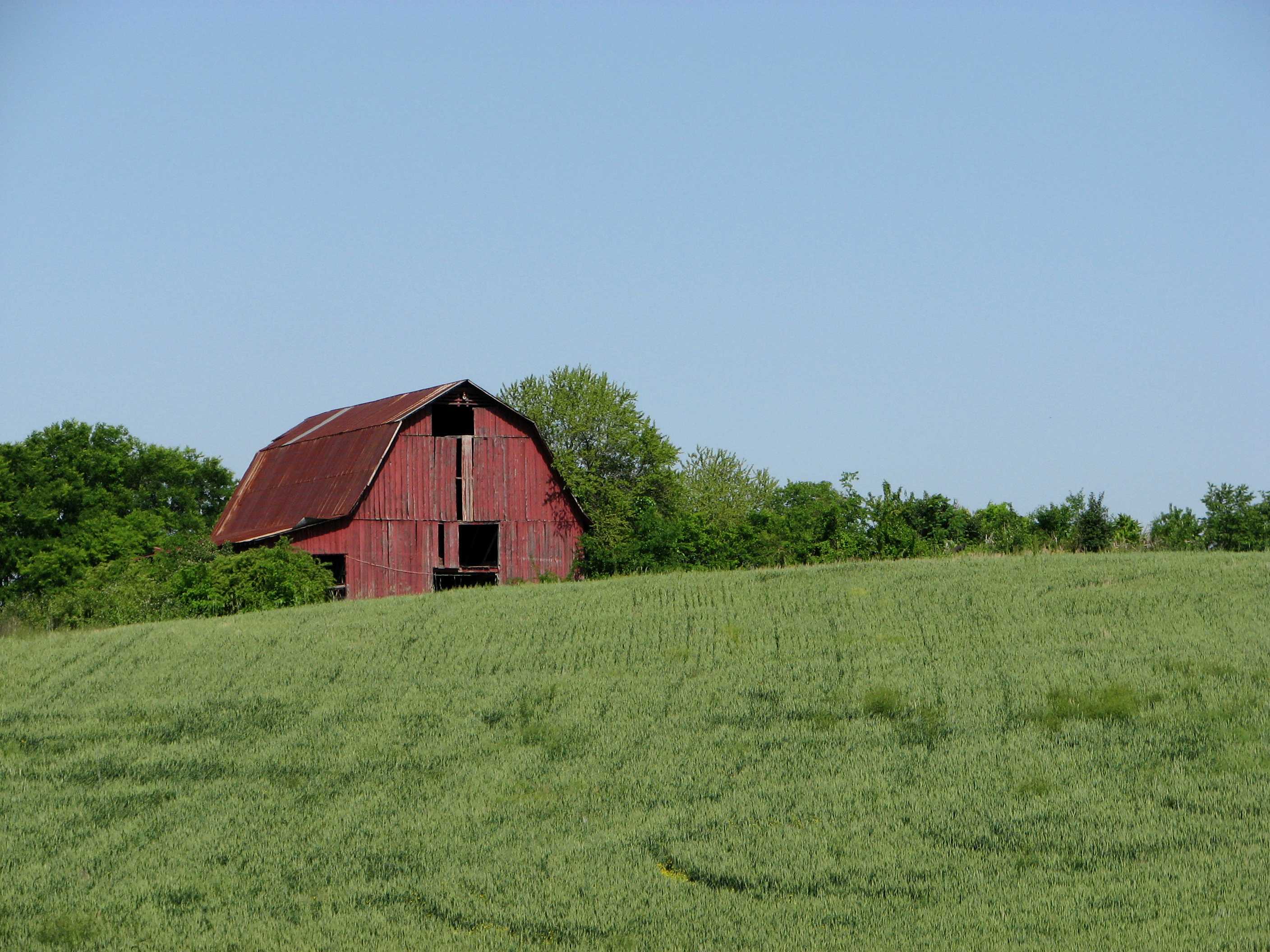
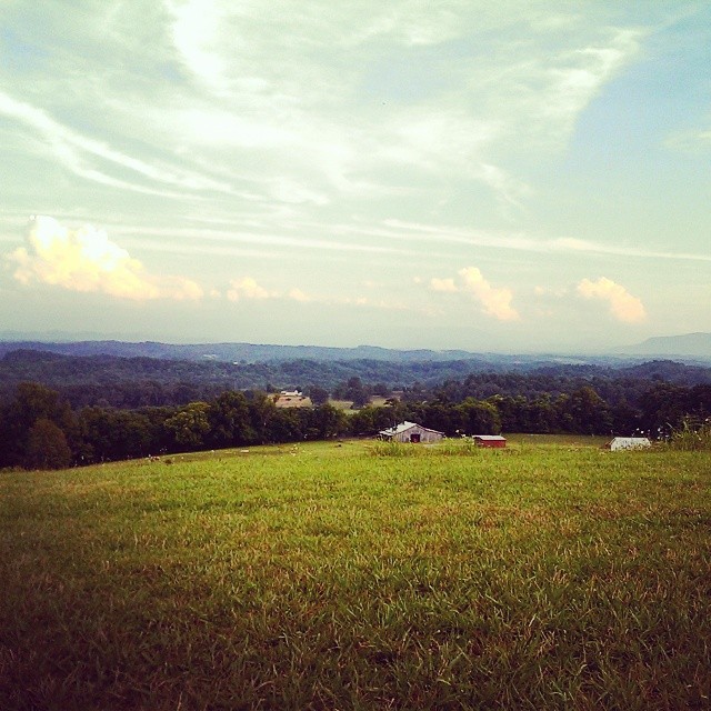
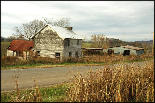
Red Barn on a Sea of Green.
Mossy Creek WVA
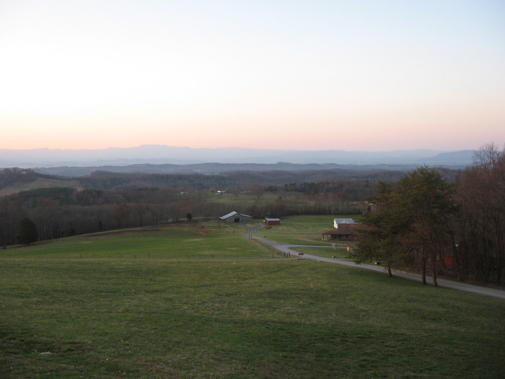
View from Highlander

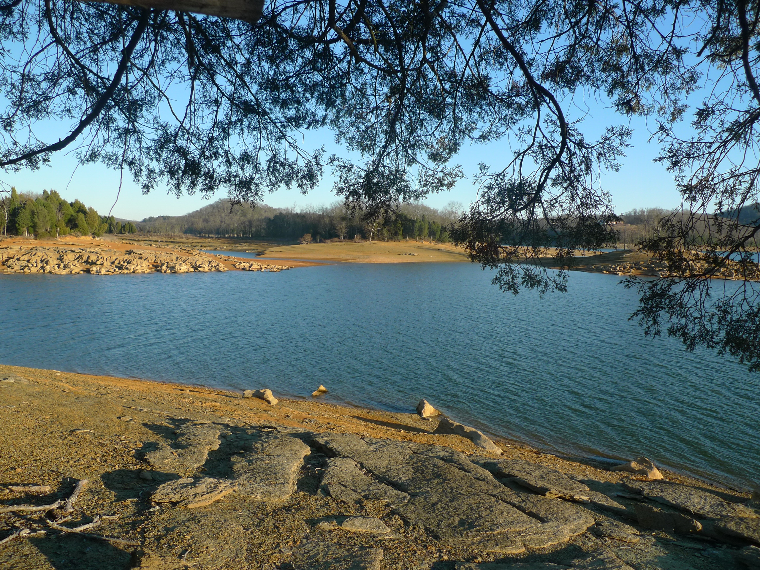
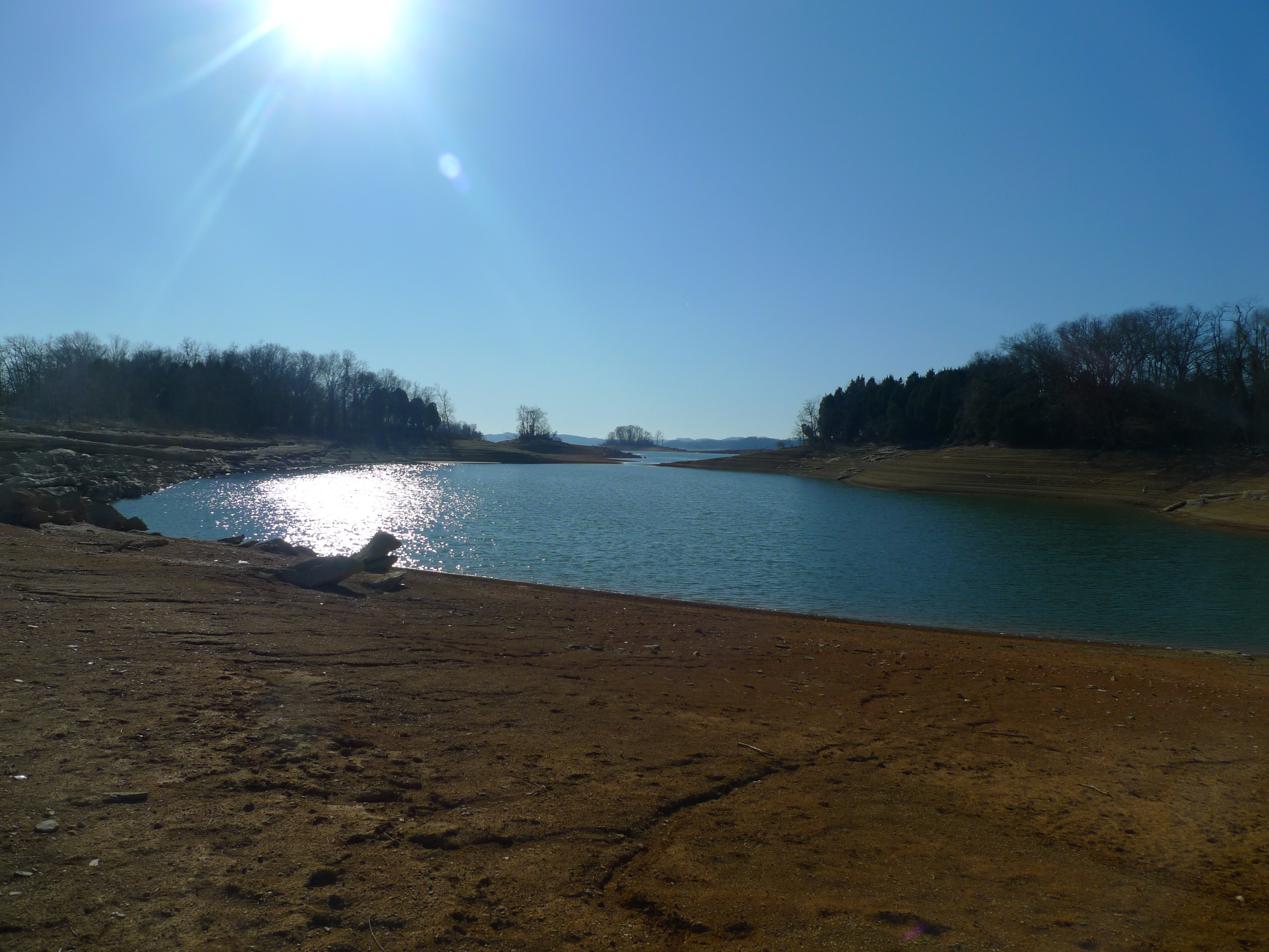
Cherokee Lake (1)
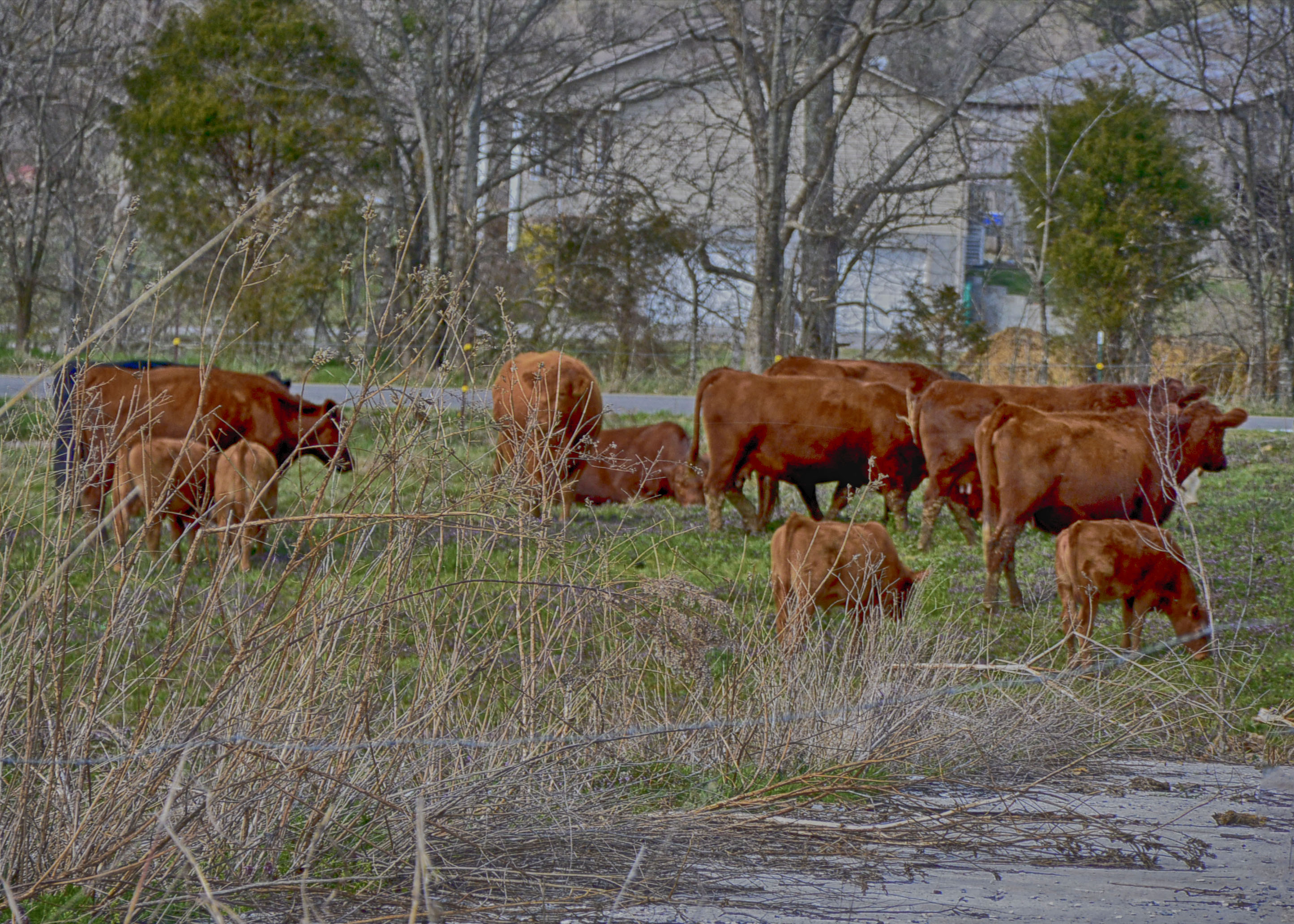
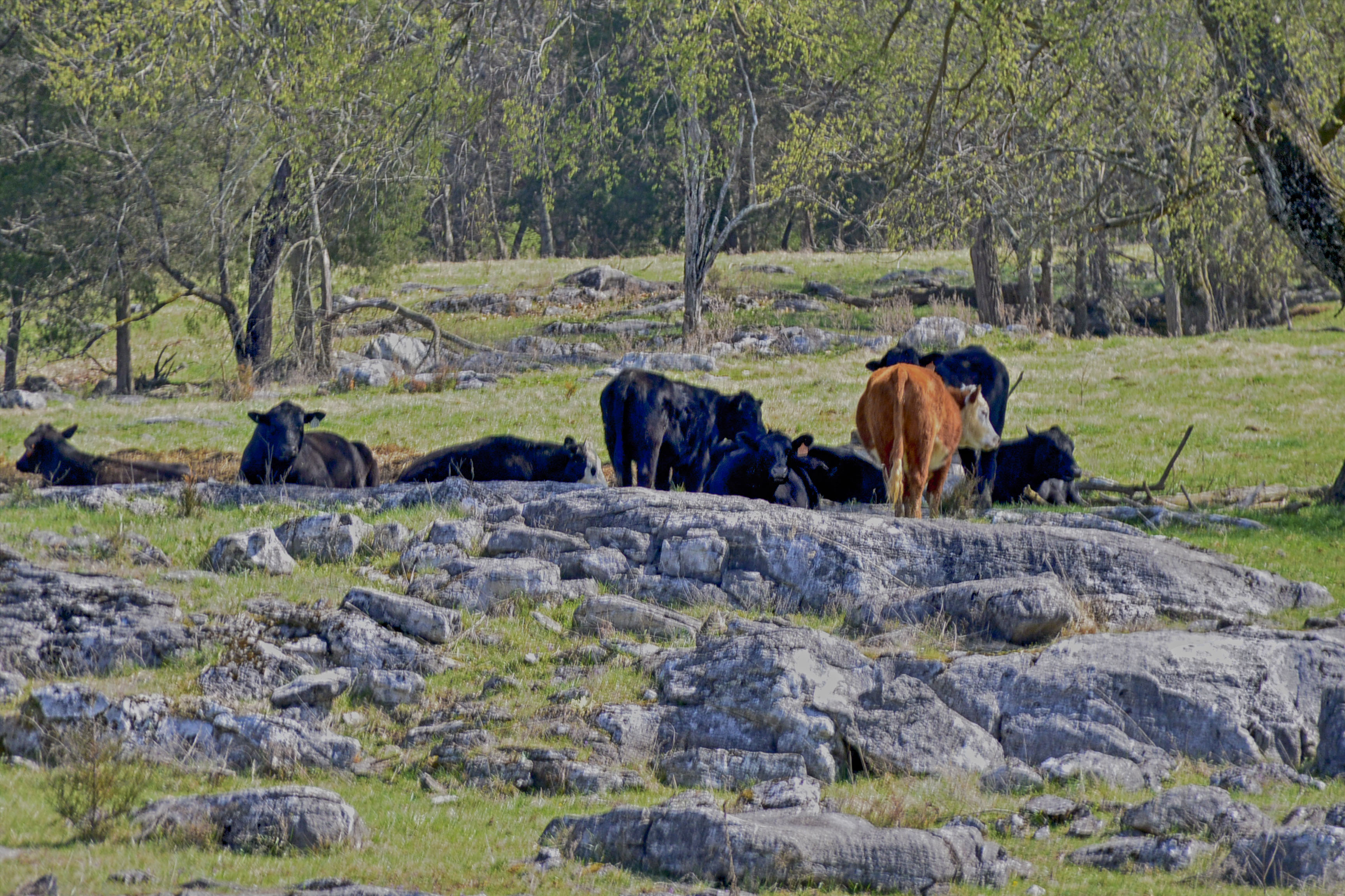
Rockey Valley Rd Cattle 098

'brellas
Y'know: not a bad place for a conference, I guess. #tennessee #thisviewactuallyexplodesmymindeverytime #sweetteaisgettingmejacked #hopingtomakeittodollywood #90percenthumidity #boobsweat
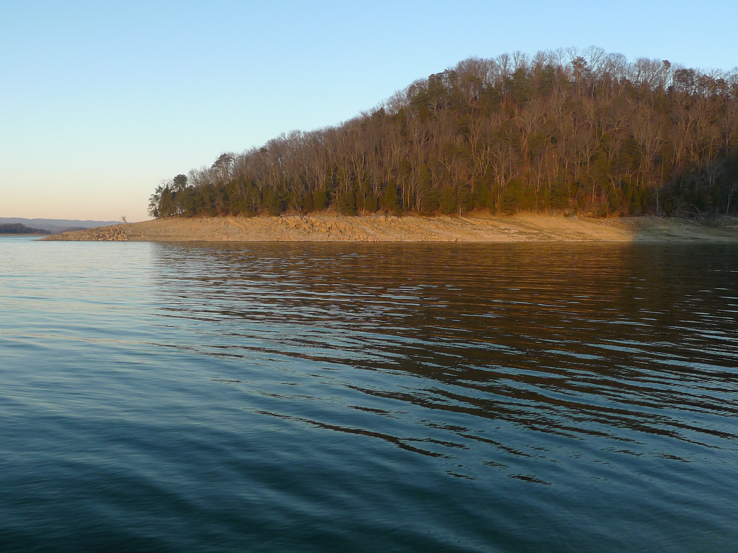
Cove on Castaway Island - Cherokee Lake
Rockey Valley Rd pasture 036ab

Rockey Valley Rd pasture 036a
The Point
Memory on Mine Road

Sailboat adrift on Castaway Island
Cherokee - Castaway Island

Sunset on Cherokee Lake
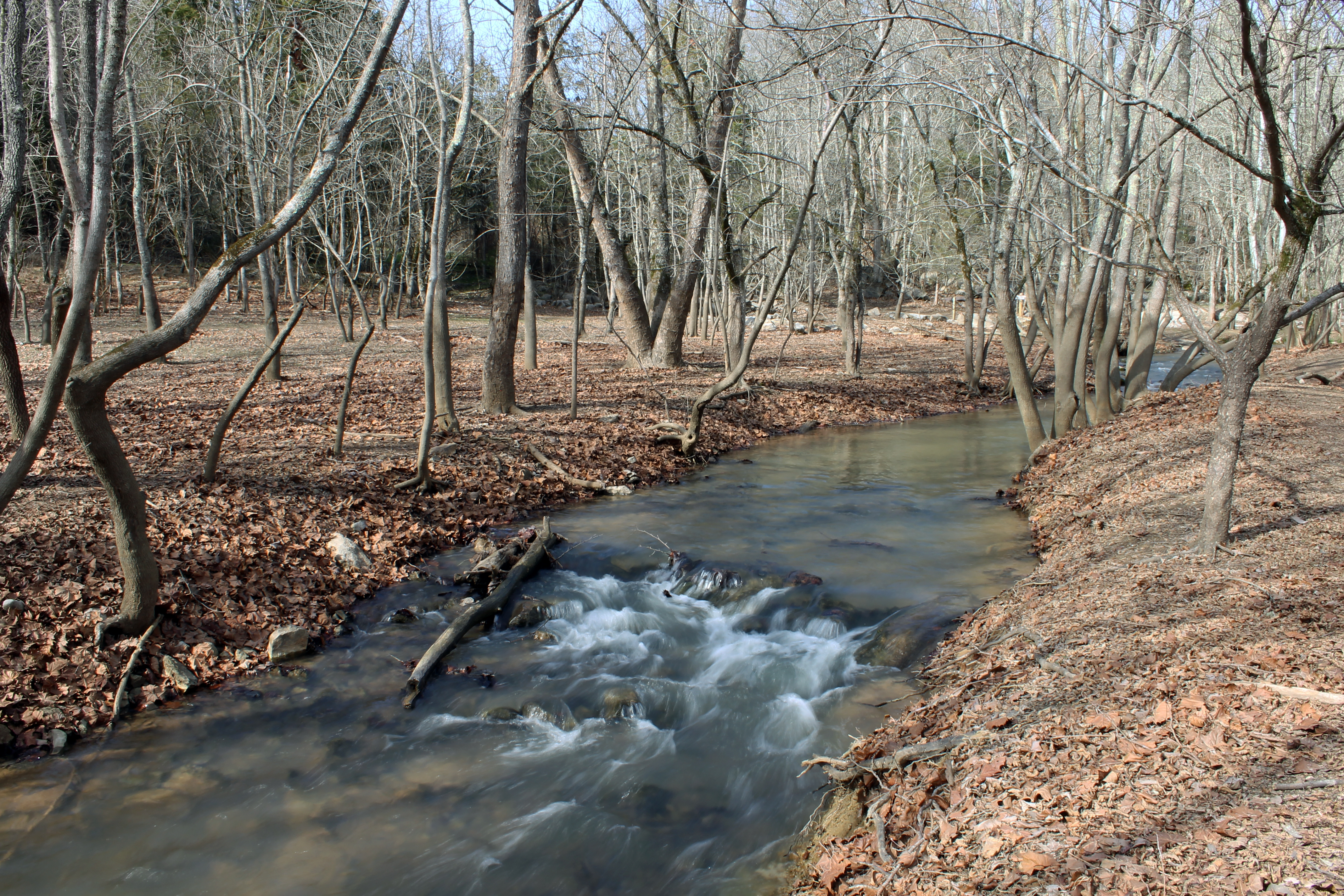
Waterfall in the Woods
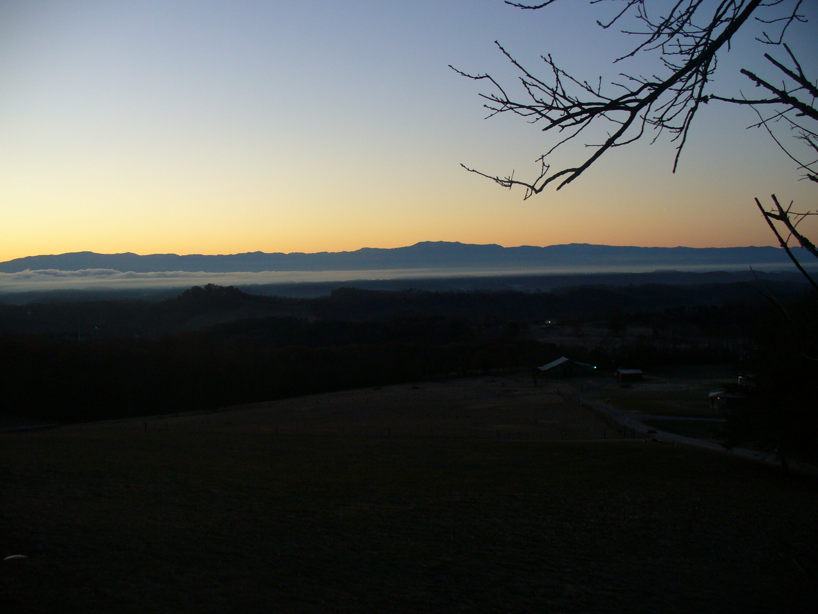
Smokey Mountain Sunrise

Orange Clouds at Sunset

Sunsets on Cherokee Lake
Sunset on Cherokee
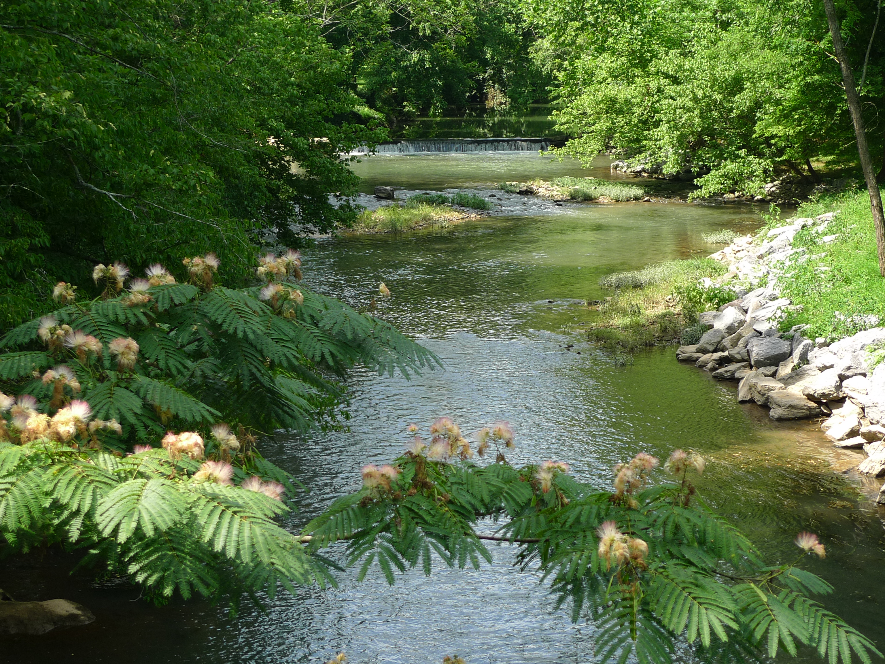
Richland Creek - stone mill
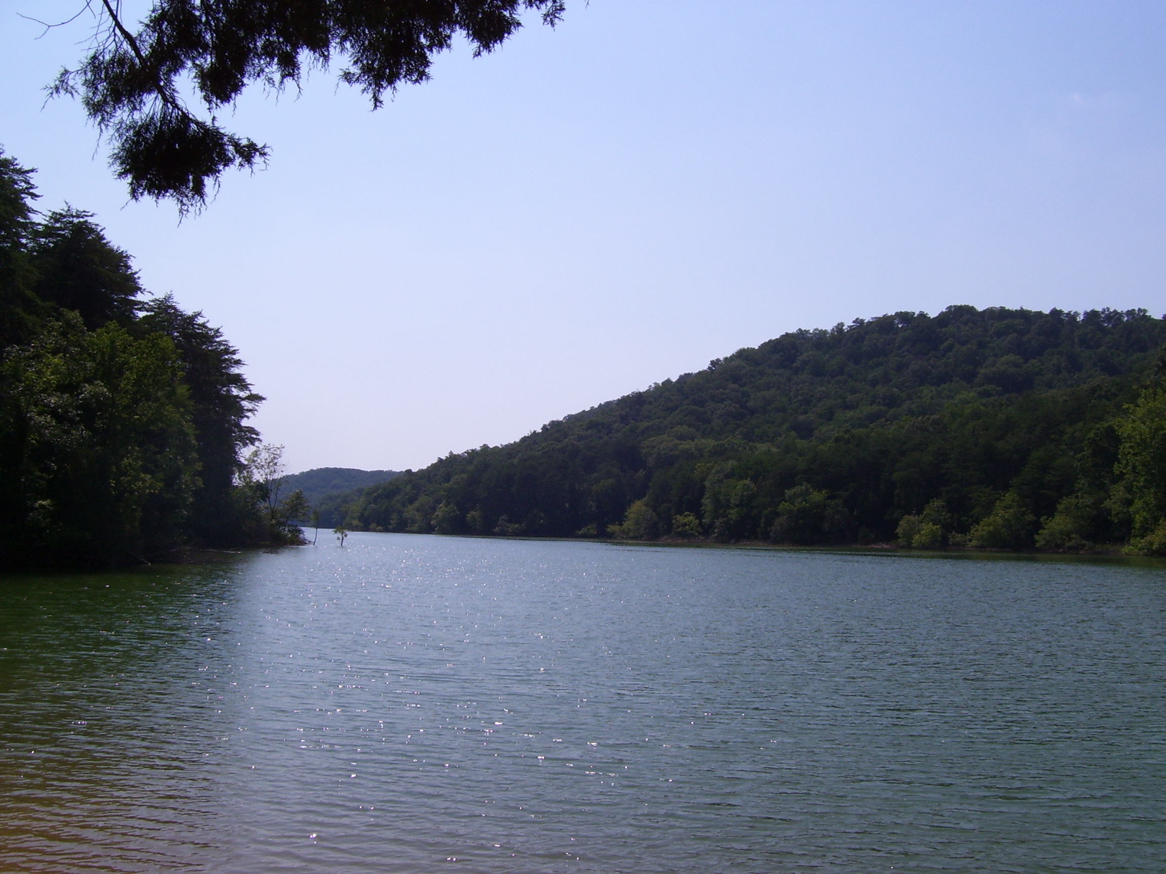
Cherokee Lake #1

Dead ahead Captain !
Topographic Map of Good Hope Church Rd, New Market, TN, USA
Find elevation by address:

Places near Good Hope Church Rd, New Market, TN, USA:
147 Mary Ln
1743 Holston River Dr
Owl Hole Gap Rd, Rutledge, TN, USA
2586 Cochran Rd
2307 Iris Ln
2319 Iris Ln
4895 New Corinth Rd
Odom Rd, Rutledge, TN, USA
1182 Mitchell Rd
Lakeshore Dr, Rutledge, TN, USA
New Market
1030 W Hwy 11e
W Old A J Hwy, New Market, TN, USA
Jefferson City
700 Chahokia Dr
1917 Pointe Dr
Wilderness Shores
2449 Tarr Rd
2378 Tarr Rd
Crooke Rd, Jefferson City, TN, USA
Recent Searches:
- Elevation of Corso Fratelli Cairoli, 35, Macerata MC, Italy
- Elevation of Tallevast Rd, Sarasota, FL, USA
- Elevation of 4th St E, Sonoma, CA, USA
- Elevation of Black Hollow Rd, Pennsdale, PA, USA
- Elevation of Oakland Ave, Williamsport, PA, USA
- Elevation of Pedrógão Grande, Portugal
- Elevation of Klee Dr, Martinsburg, WV, USA
- Elevation of Via Roma, Pieranica CR, Italy
- Elevation of Tavkvetili Mountain, Georgia
- Elevation of Hartfords Bluff Cir, Mt Pleasant, SC, USA