Elevation of Holston River Dr, Rutledge, TN, USA

Location: United States > Tennessee > Grainger County > Rutledge >

Longitude: -83.584319

Latitude: 36.1656758

Elevation: 320m / 1050feet

Barometric Pressure: 98KPa

Elevation Map:

elevation map of Holston River Dr, Rutledge, TN, USA

Satellite Map:

Satellite map of Holston River Dr, Rutledge, TN, USA

Related Photos:

jlrphotography nikond7200 nikon d7200 photography photo rutledgetn easttennessee graingercounty tennessee 2016 engineerswithcameras graingercountytncourthouse photographyforgod thesouth southernphotography screamofthephotographer ibeauty jlramsaurphotography photograph pic rutledge tennesseephotographer rutledgetennessee historicbuilding history historic historyisallaroundus americanrelics beautifuldecay fadingamerica it’saretroworldafterall oldandbeautiful vanishingamerica uscountycourthouses tennesseecountycourthouses tennesseestateflag engineeringasart ofandbyengineers engineeringisart engineering architecture americanflag usflag redwhiteblue starsandstripes oldglory patriotic patrioticproud rural ruralamerica ruraltennessee ruralview oldbuildings structuresofthesouth smalltownamerica americana
Grainger County, TN Courthouse - Rutledge, TN
park county lake creek state tennessee east cherokee morristown panther hamblen
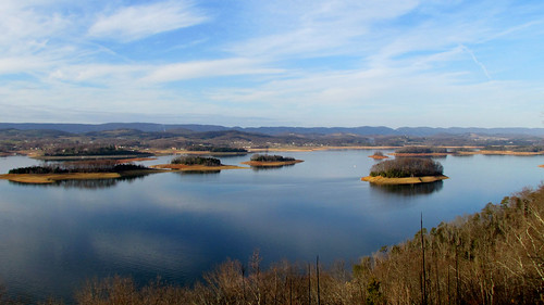
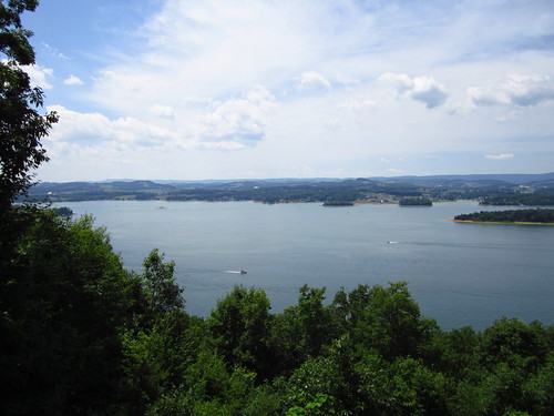
Cherokee Lake Panorama
blue red green barn geotagged tennessee south southern jefferson appalachian easttennessee
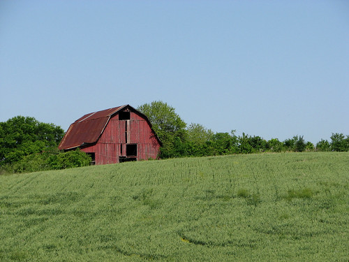
Red Barn on a Sea of Green.
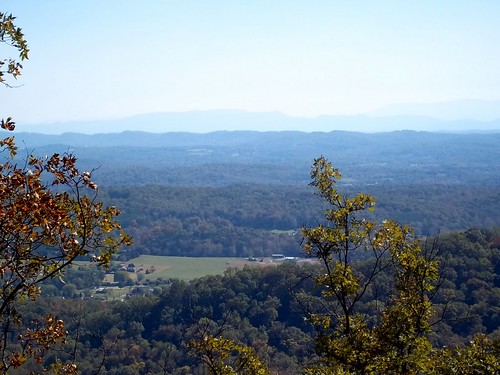
A fantastic view from Panther Creek State Park, Morristown TN
instagramapp square squareformat iphoneography uploaded:by=instagram
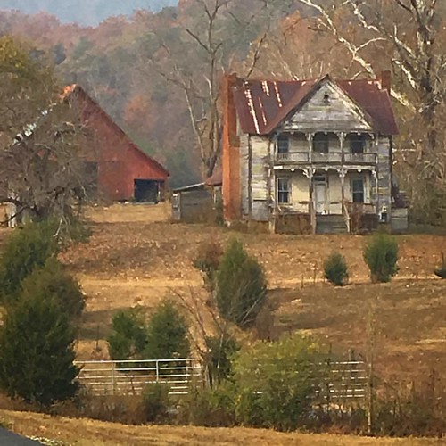
Once was a home near Blaine, TN
View from the Vestibule
store tennessee jeffersoncounty millsprings
Mill Springs Store
W. Graham Claytor's Marker Light
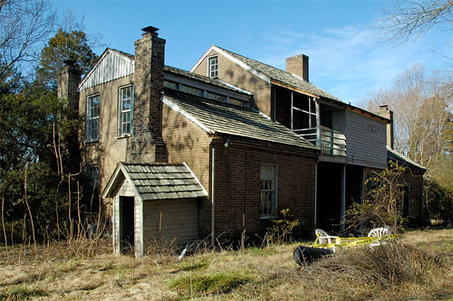
Five Chimneys Rear View
tn tennessee jeffersoncity cherokeedam mossycreek mossycreekwva
Mossy Creek WVA
autumn fall hiking tennessee housemountain knoxcounty thehappybottomhikingclub
View Towards Chilhowee Mountain
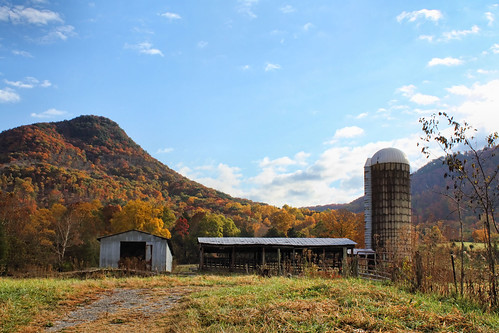
autumn mountain fall tennessee silo clinchmountain
Signal Point
East Tennessee
Grandmother’s Farm
tn
Cherokee Lake (1)
sunset orange silhouette clouds
Orange Clouds at Sunset
sumset
Sunsets on Cherokee Lake
summer fun lights dusk porch
'brellas
overlook cherokeelake panthercreekstatepark
Panther Creek State Park Overlook #3
overlook cherokeelake panthercreekstatepark
Panther Creek State Park Overlook #2
overlook cherokeelake panthercreekstatepark
Panther Creek State Park Overlook #1
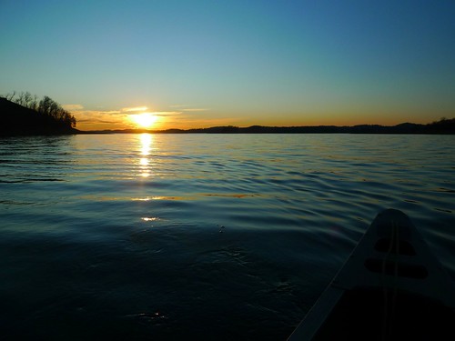
Sunset on Cherokee Lake
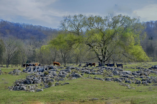
field rocks cattle cows tennessee rocky peaceful topp
Rockey Valley Rd Cattle 098
field rocks cattle cows tennessee rocky peaceful topp
Rockey Valley Rd pasture 036a
water trees tennessee waterfall landscape outside wildlifemanagementarea forest rutledge unitedstates us
Buffalo Creek Cascade
field rocks cattle cows tennessee rocky peaceful topp
Rockey Valley Rd pasture 036ab
square squareformat amaro iphoneography instagramapp uploaded:by=instagram
Y'know: not a bad place for a conference, I guess. #tennessee #thisviewactuallyexplodesmymindeverytime #sweetteaisgettingmejacked #hopingtomakeittodollywood #90percenthumidity #boobsweat
train norfolk southern strawberry plains tennessee
35Q crosses the Holston River
tennessee jeffersoncounty
Memory on Mine Road
sunrise landscape knoxville tenessee highlandercenter
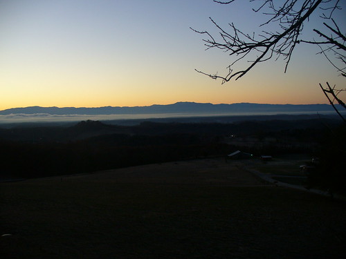
Smokey Mountain Sunrise
Richland Creek - stone mill