Elevation of Moro, OR, USA
Location: United States > Oregon > Sherman County >
Longitude: -120.731168
Latitude: 45.4840141
Elevation: 553m / 1814feet
Barometric Pressure: 0KPa
Related Photos:

Silent Sermon

"Out back in the trailer"
Return To The Past
Wrong Side of the Fence
View down the Deschutes
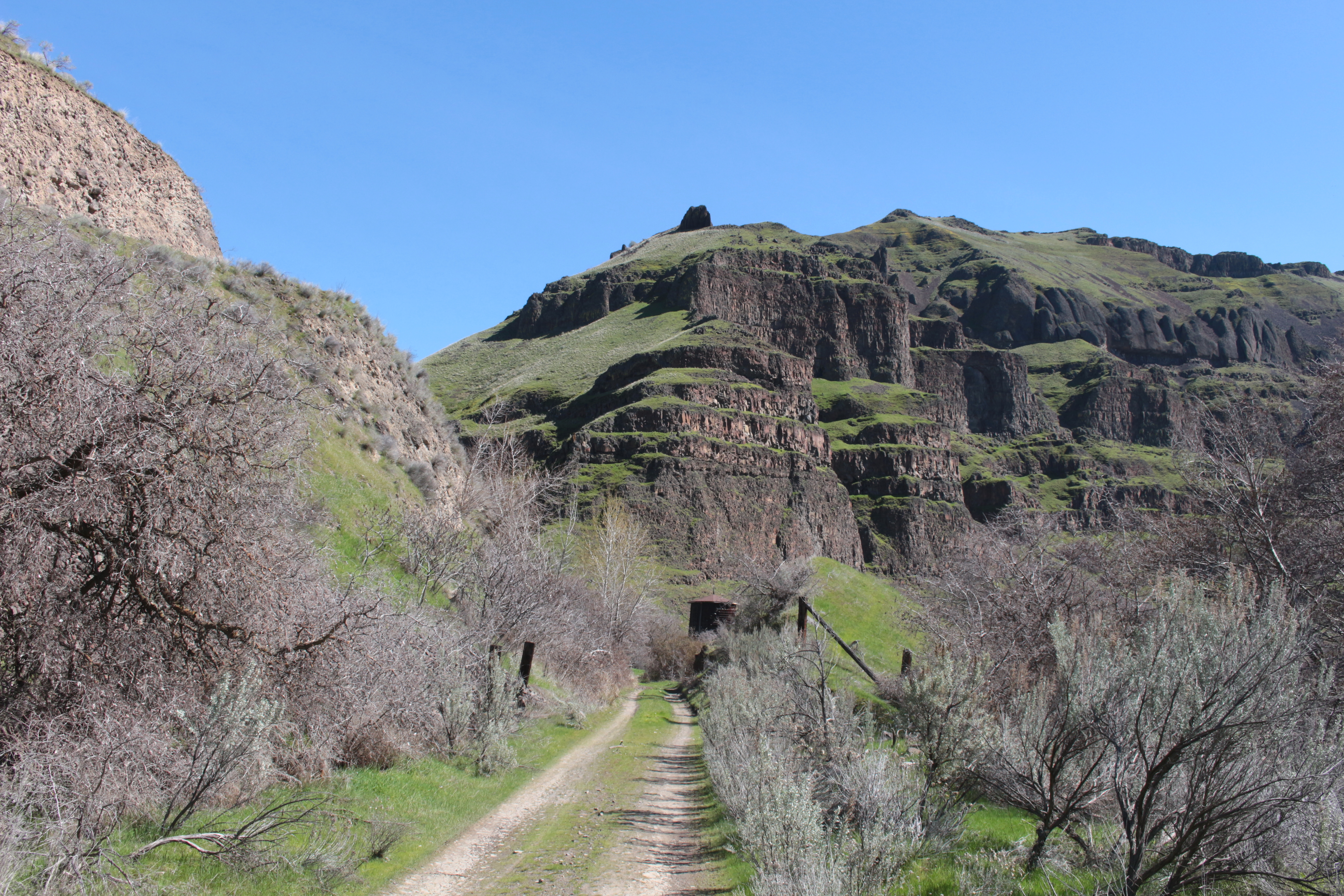
View of the old roadway going up to the canyon rim
Harris Homestead comes into view
The water tower comes into view
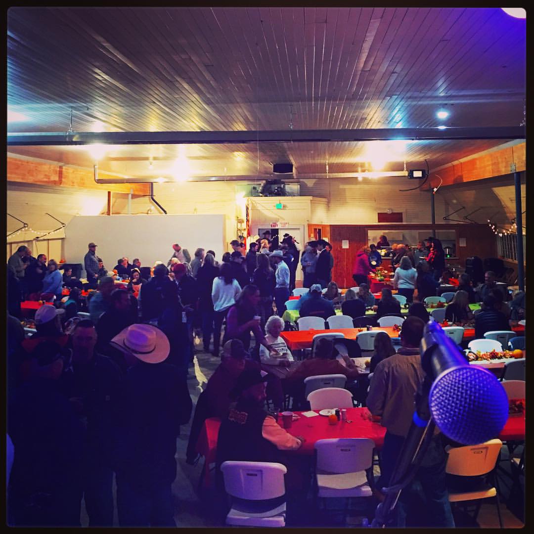
View from my office tonight at the 4th annual Grass Valley Pavillon fund raiser #countryfied15 #ilmj We take the stage at 9!
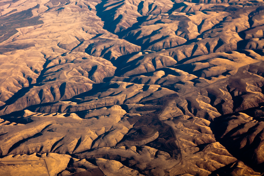
Aerial View of Oregon

The School Of Auto Abandonment

IOOF Cemetery
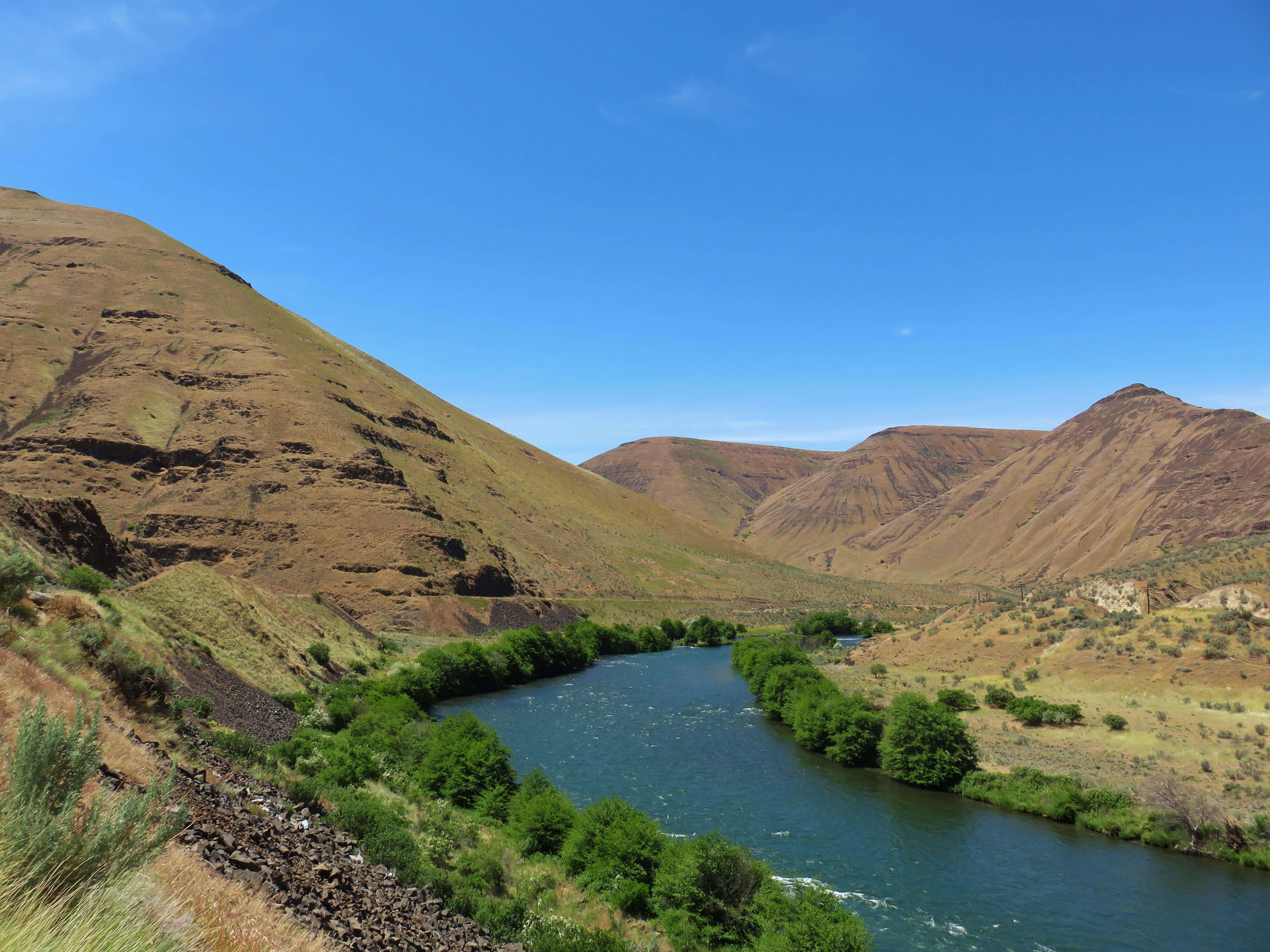
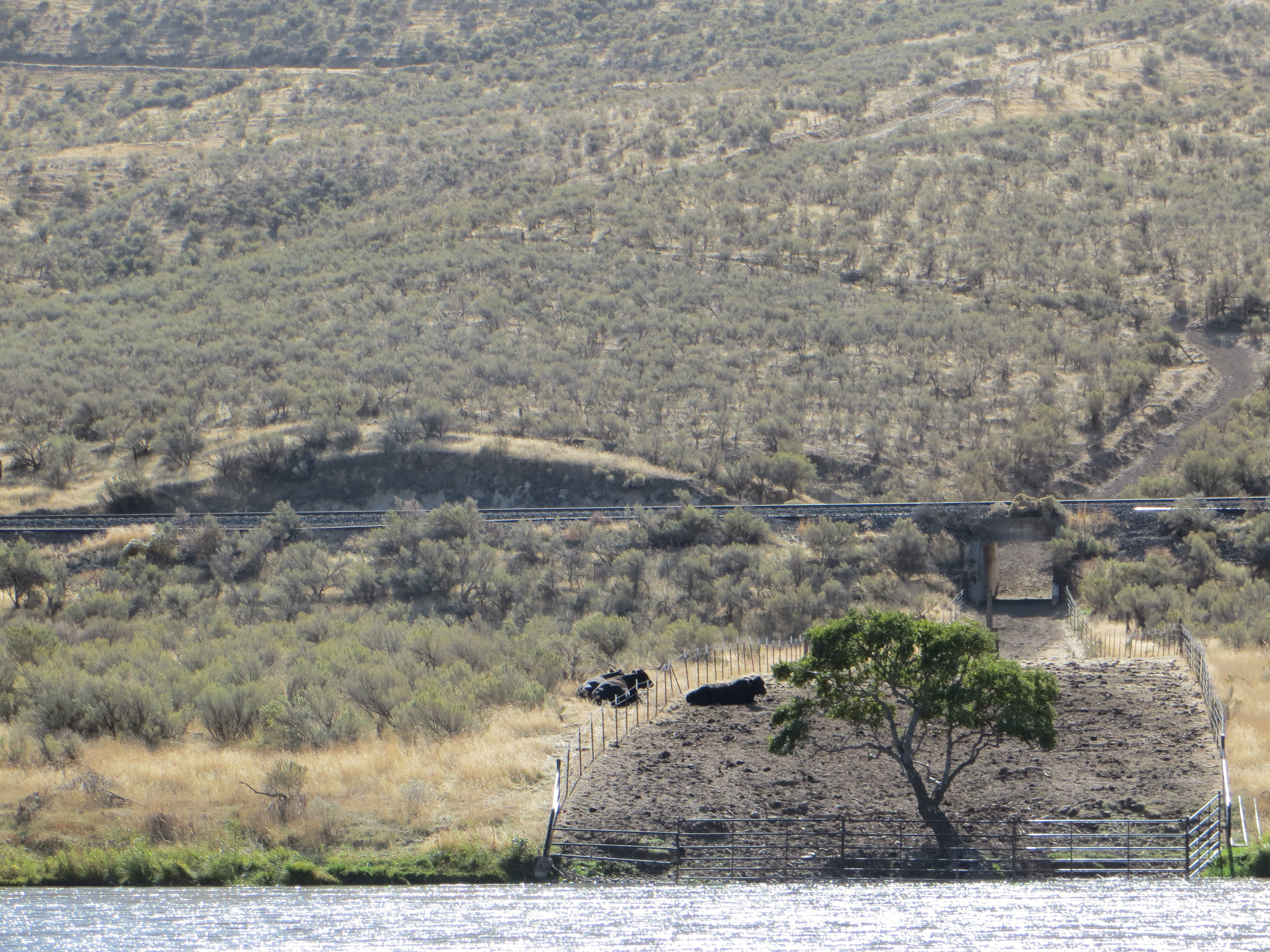
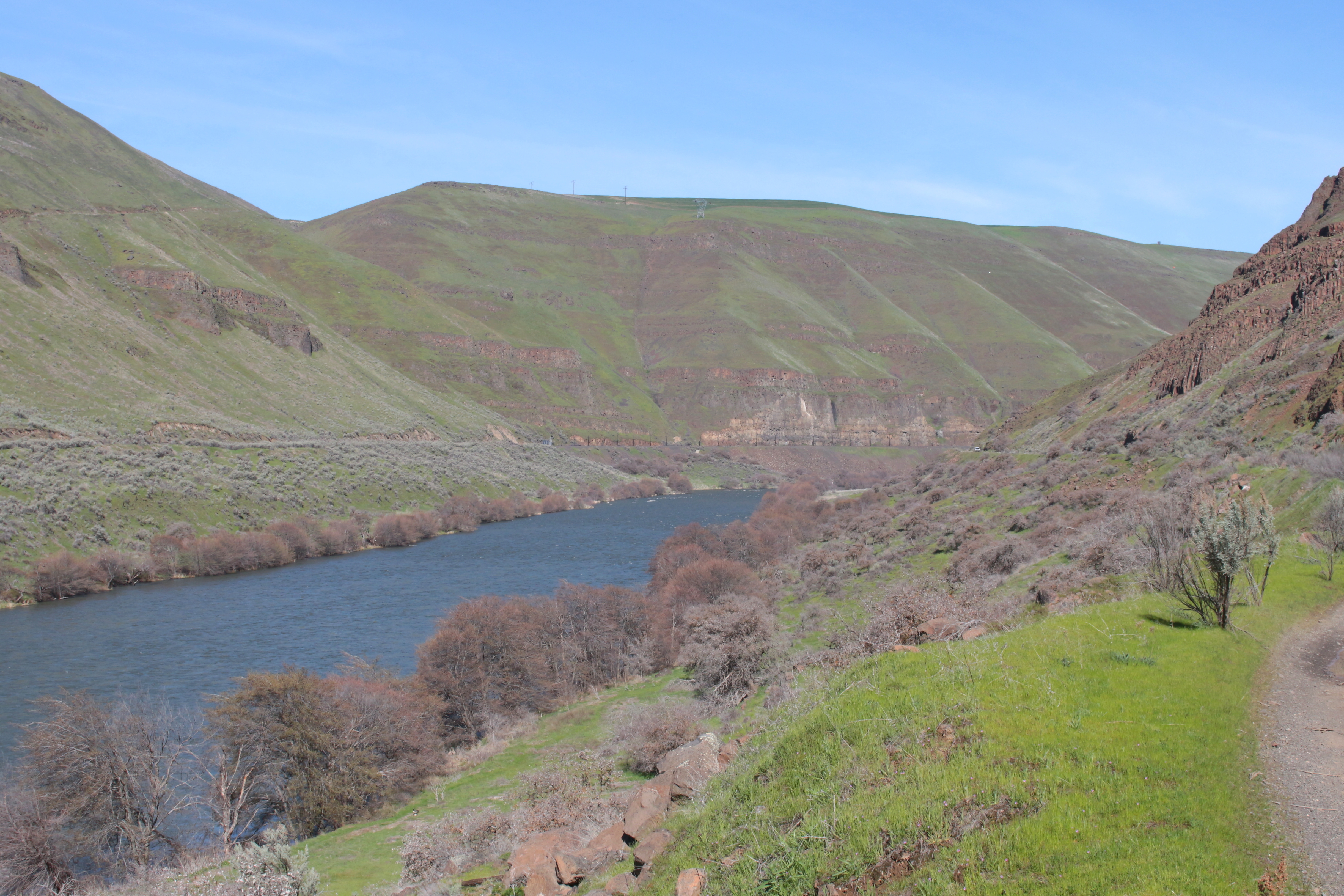
Deschutes River

Spring Clouds and Hills, Wasco, OR
Deschutes River
Deschutes River
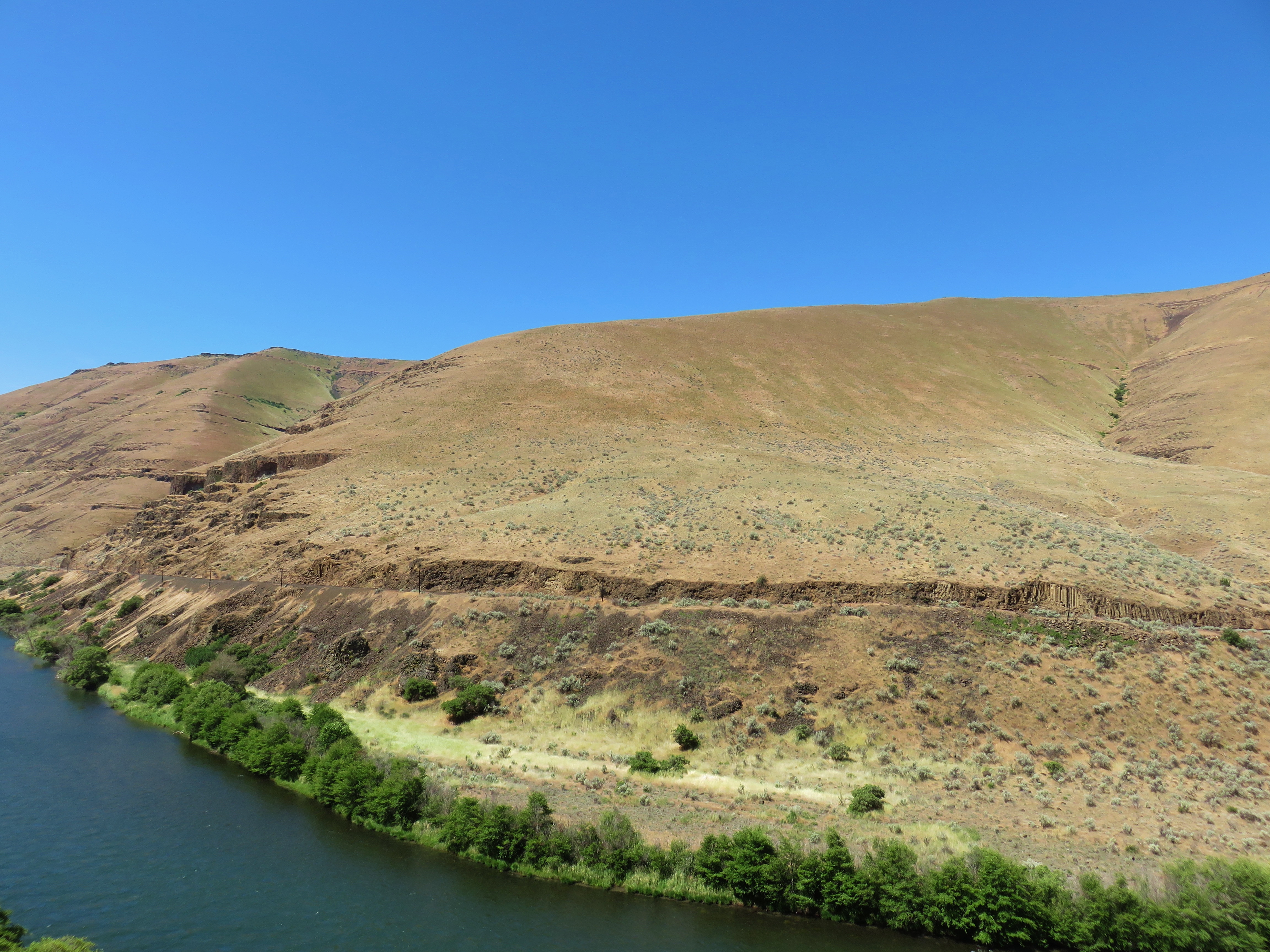
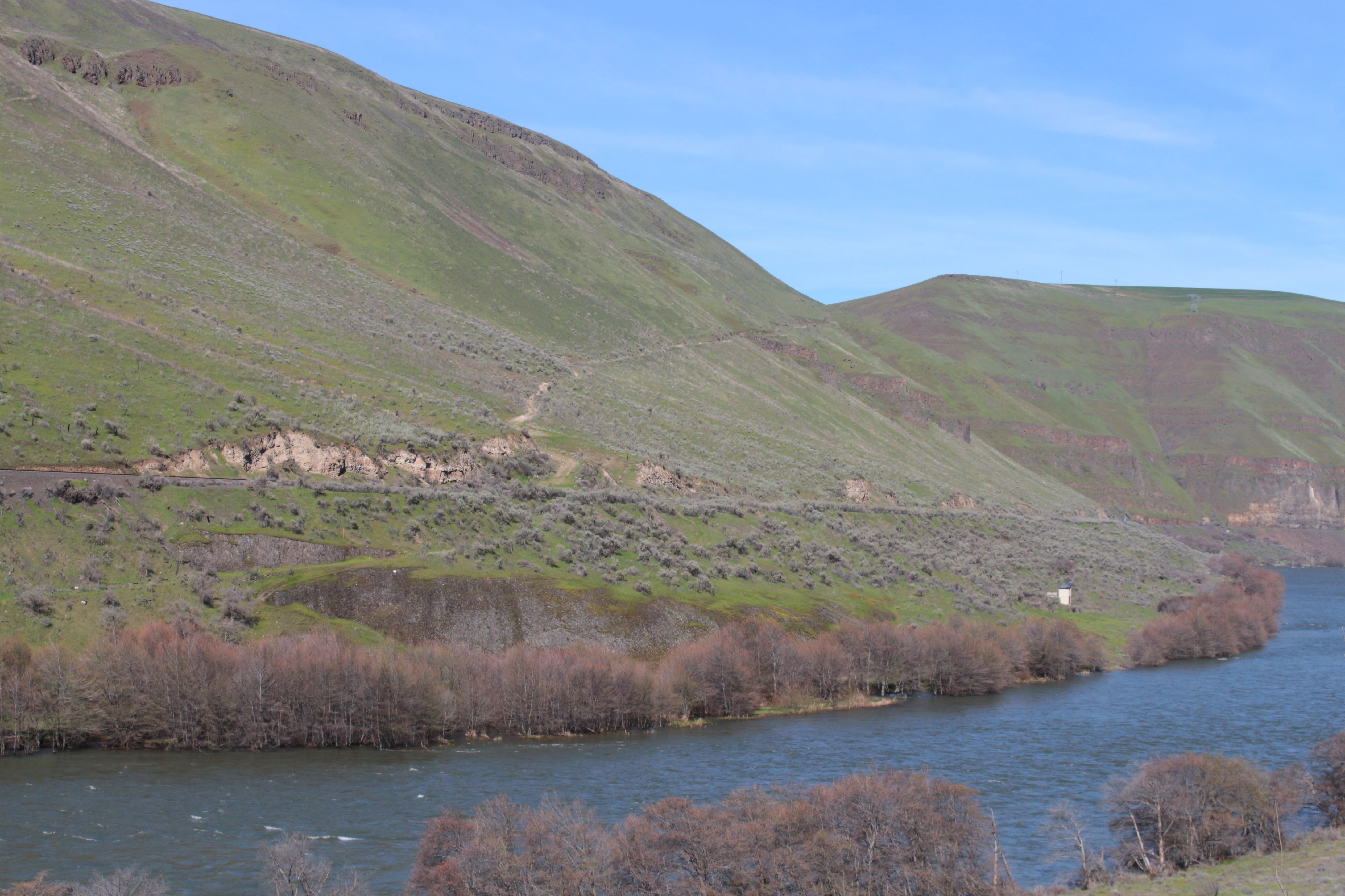
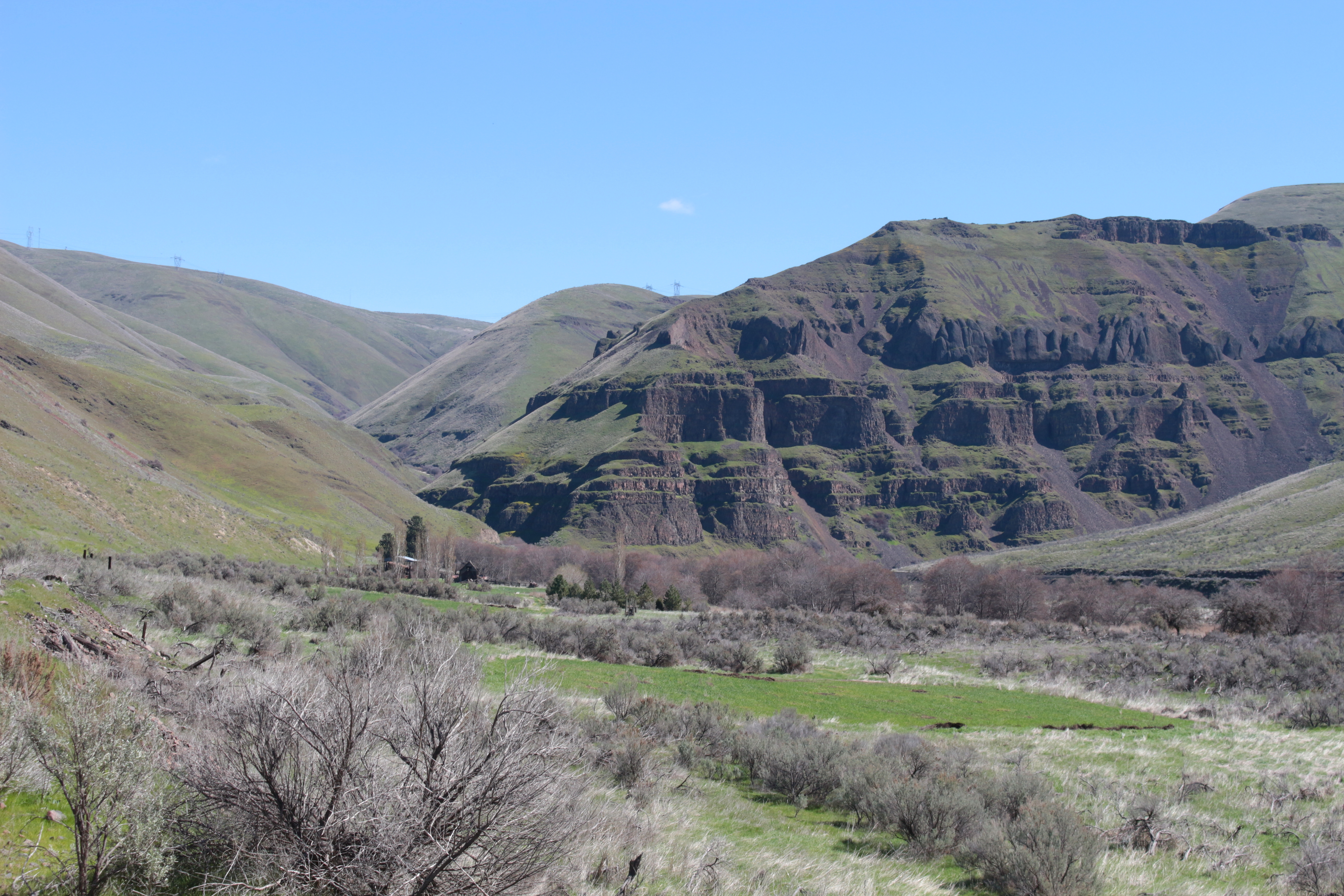
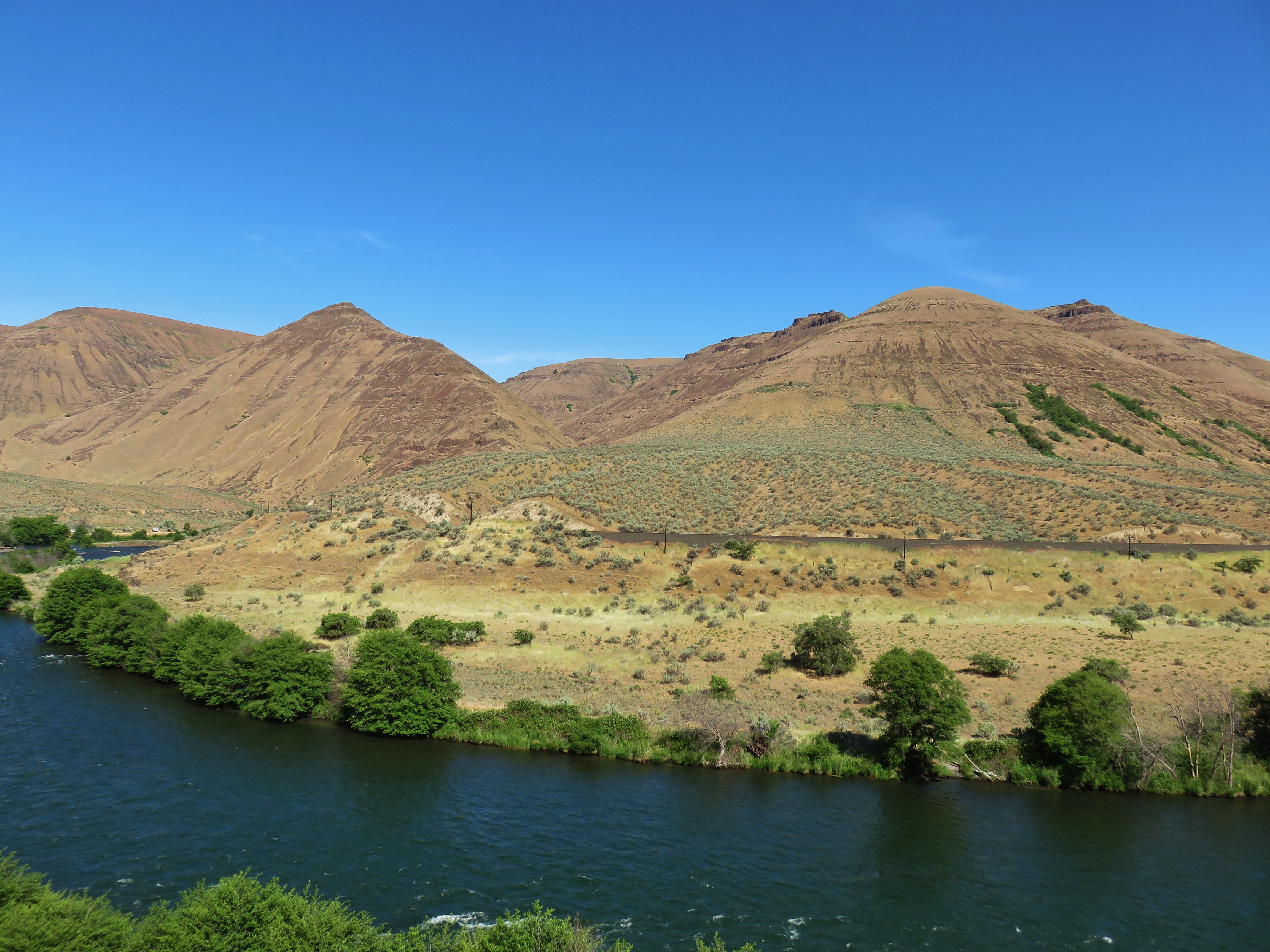
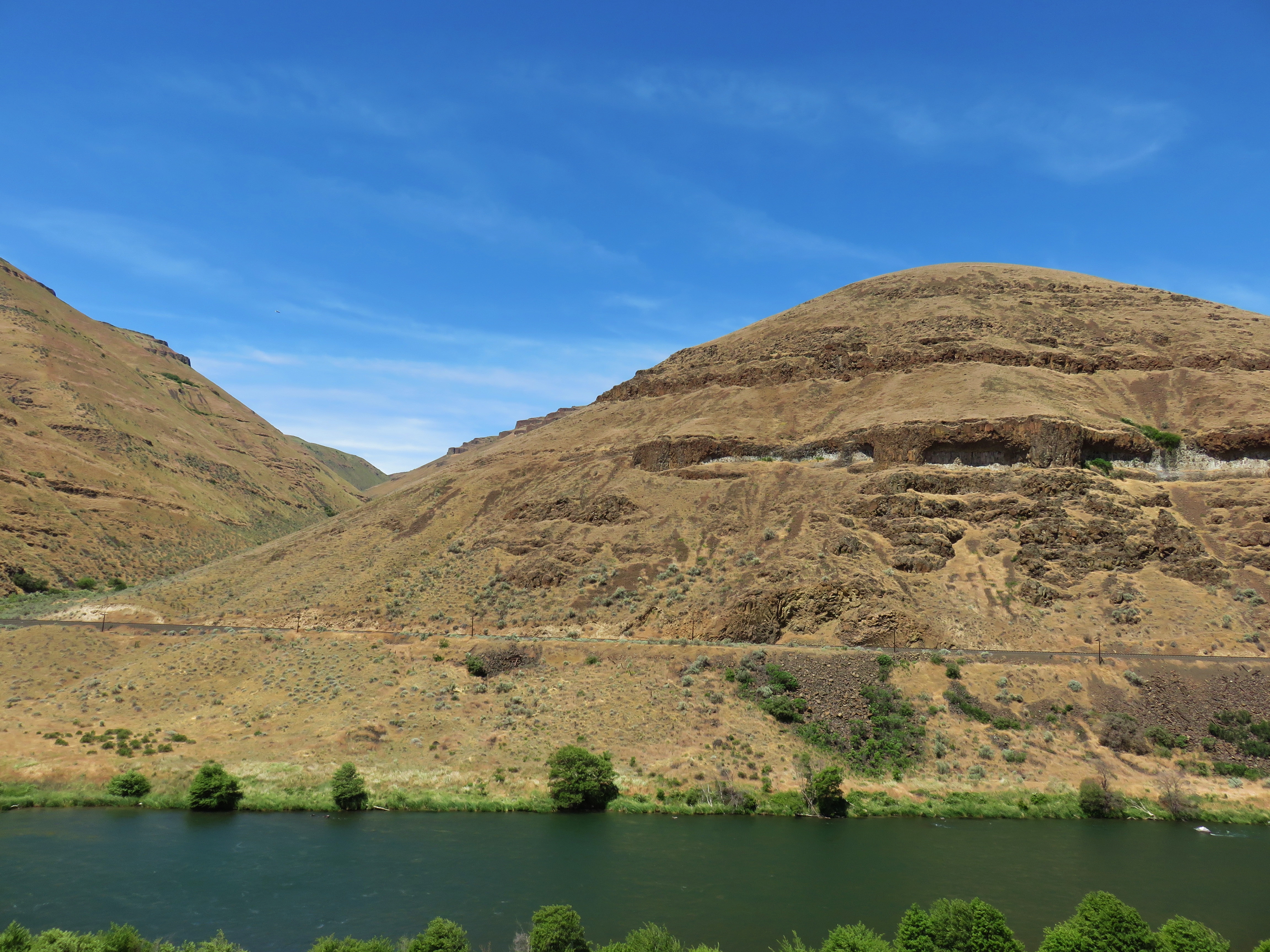
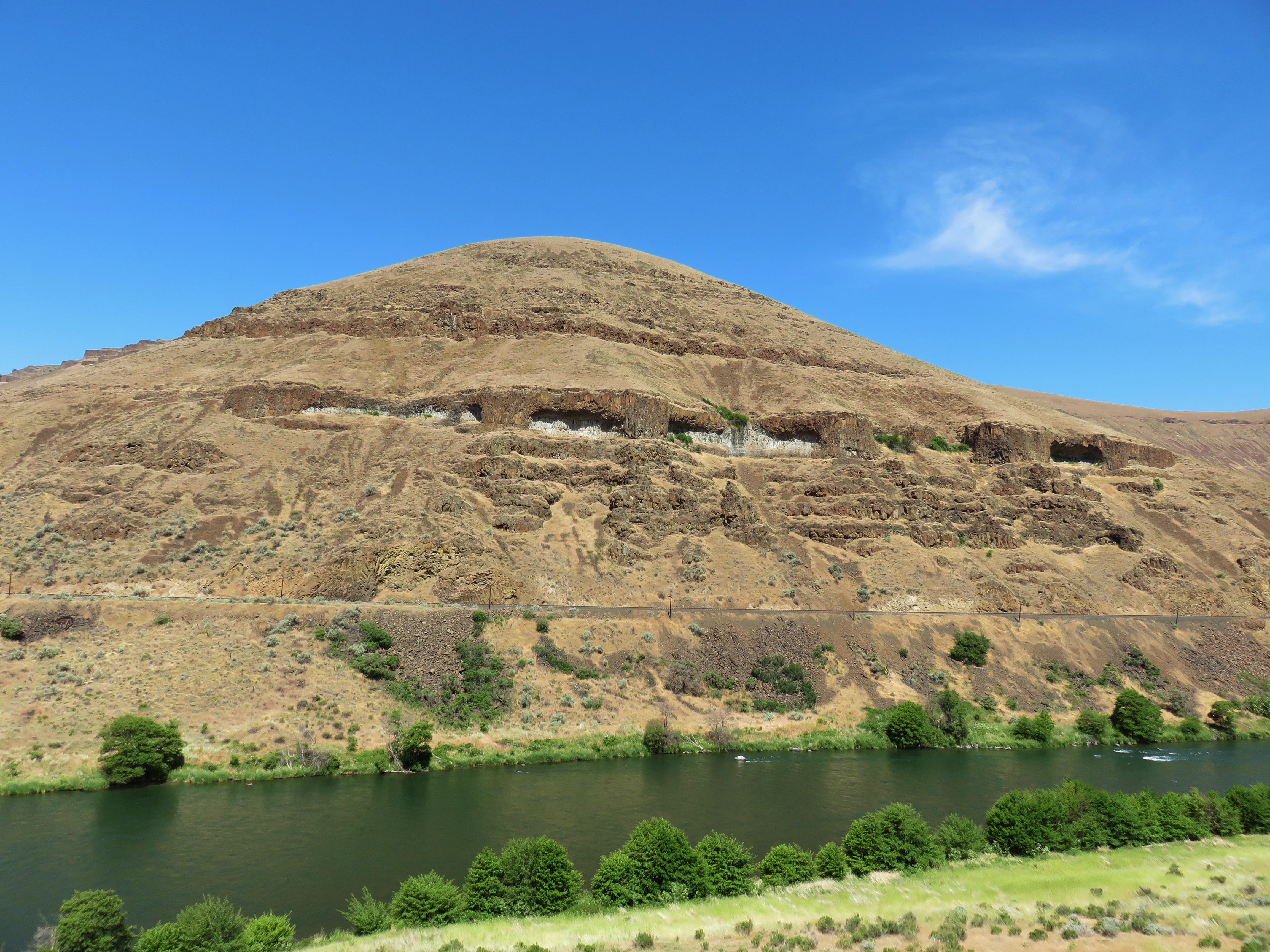
Hills above the Deschutes River
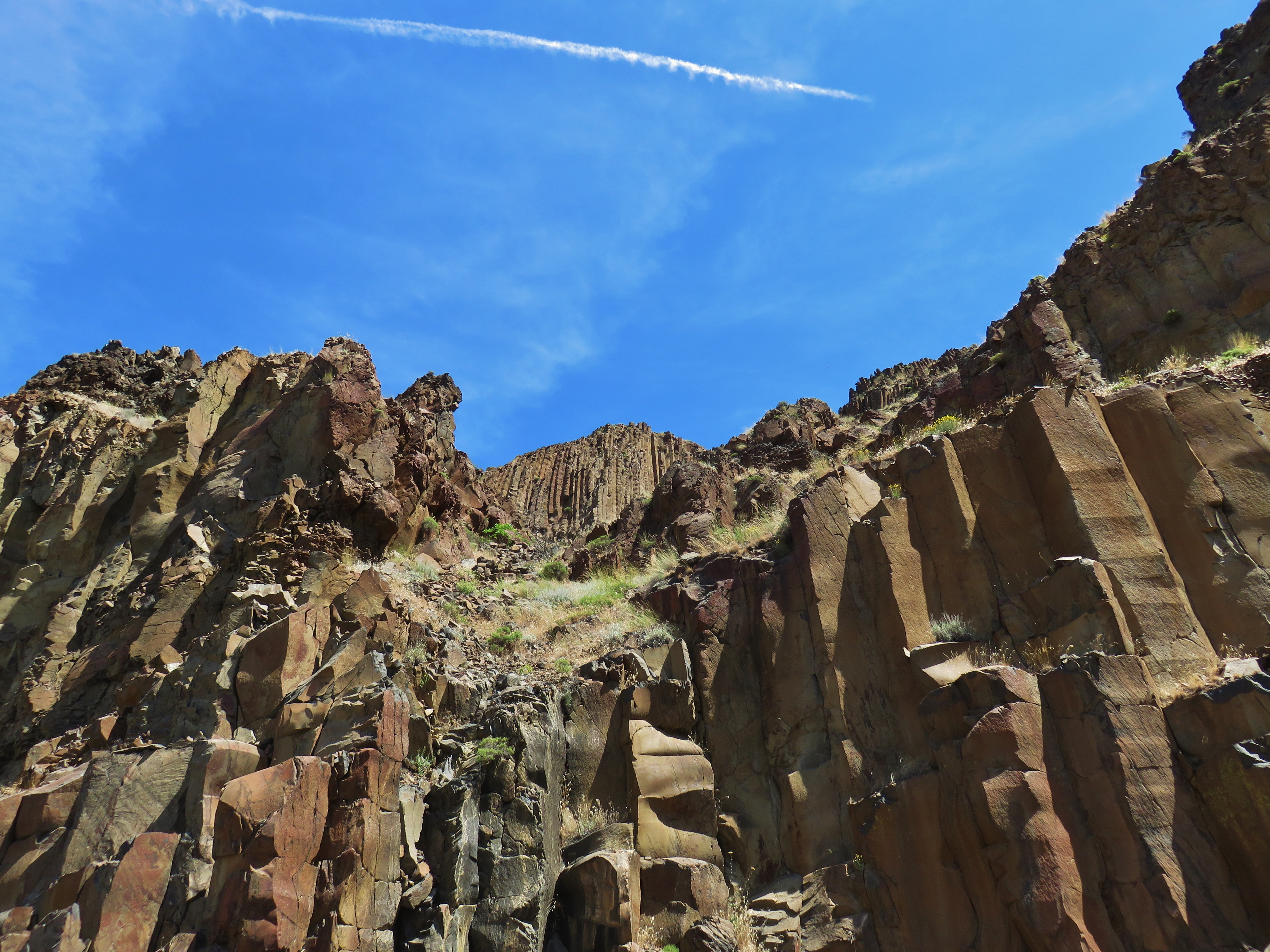
Basalt above the Deschutes River

Deschutes River
Deschutes River
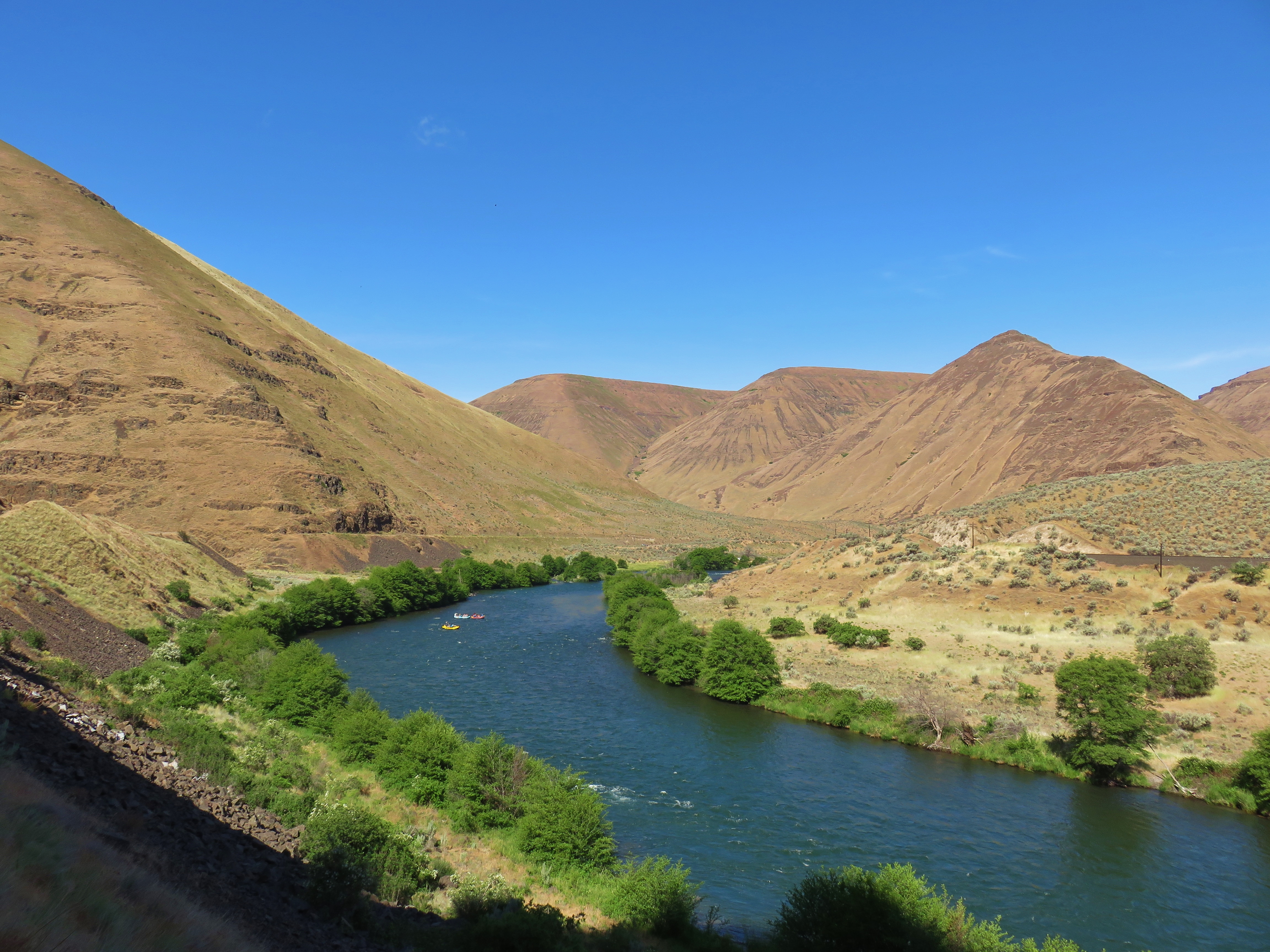
Rafters on the Deschutes River
Columbia Plateau
Deschutes River
Grass Valley, Oregon
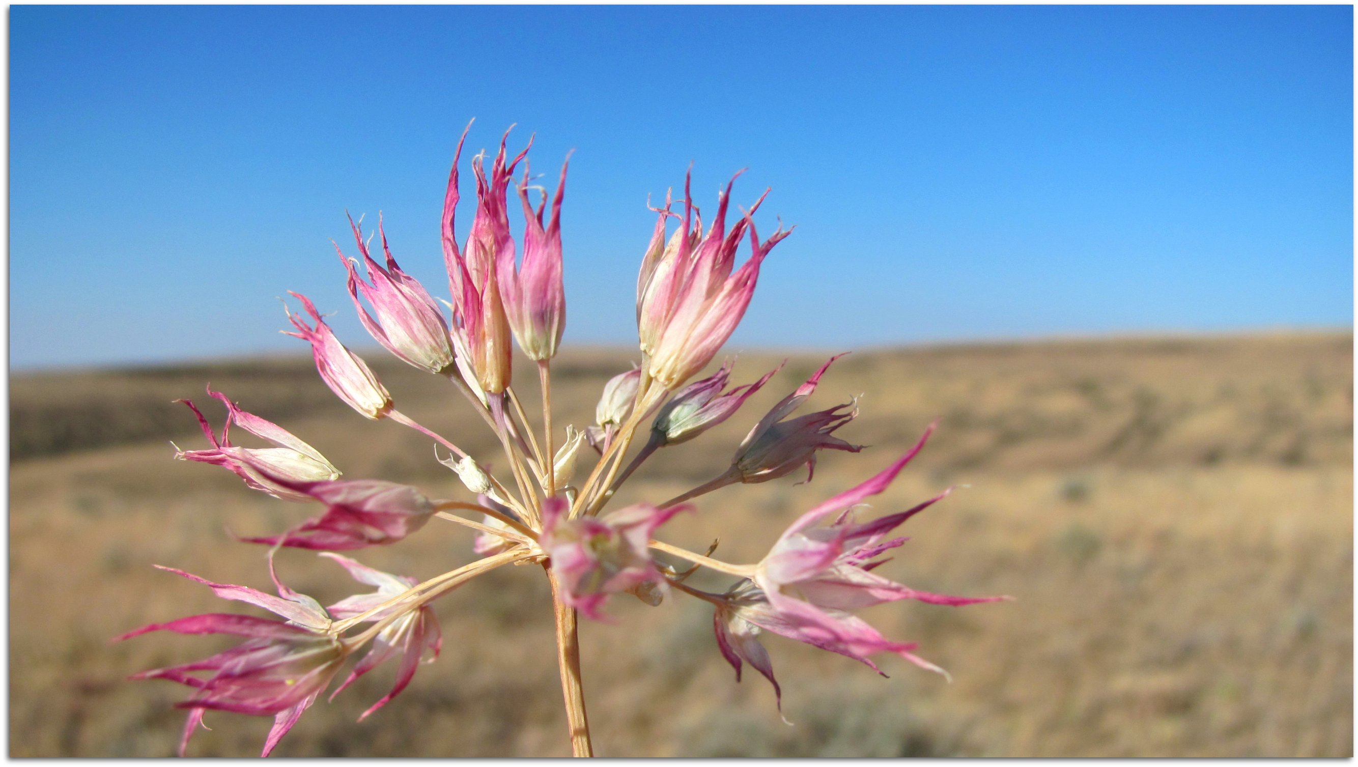
Sagebrush along the Deschutes River
Jigsaw Nightmare
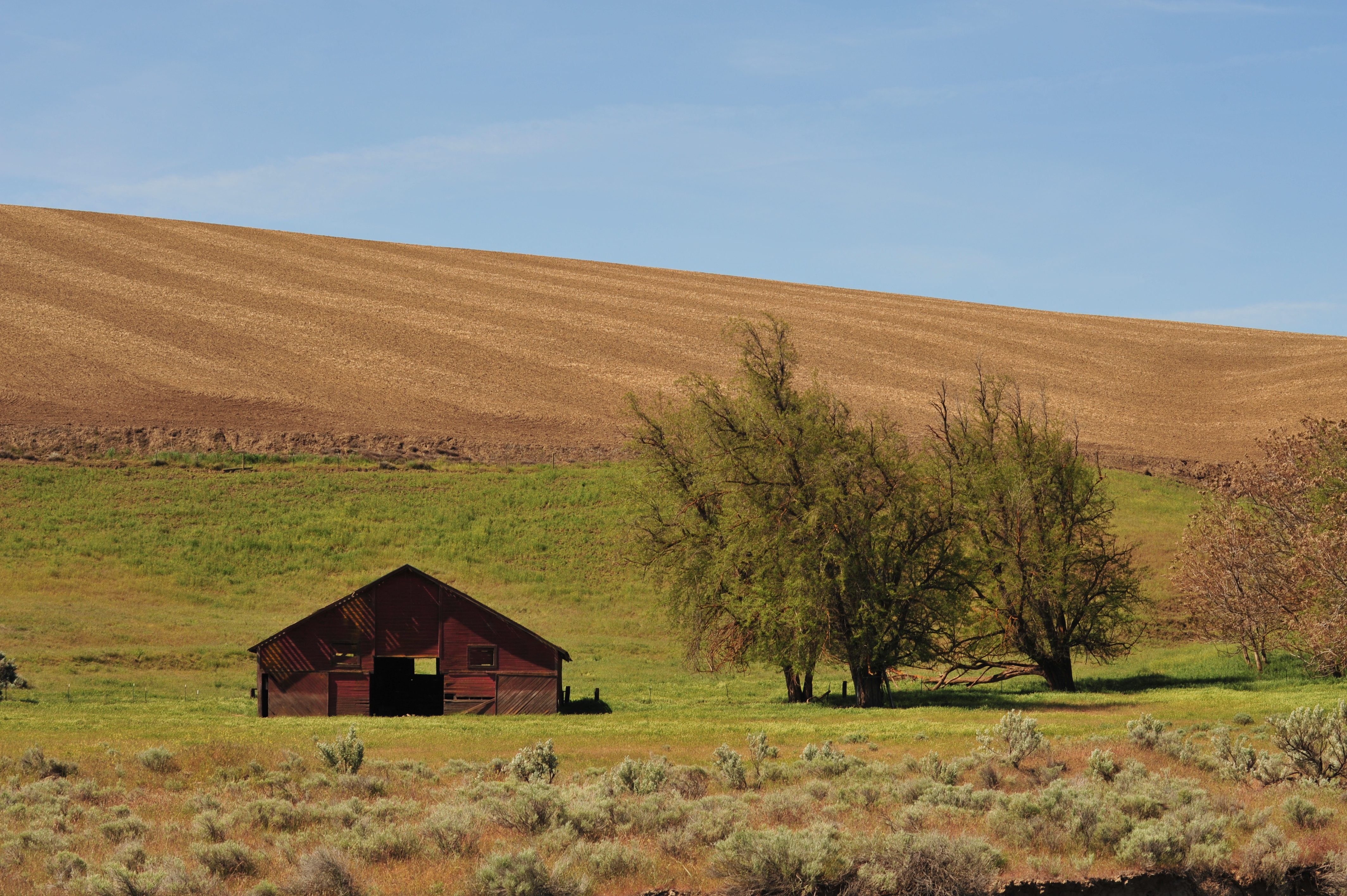
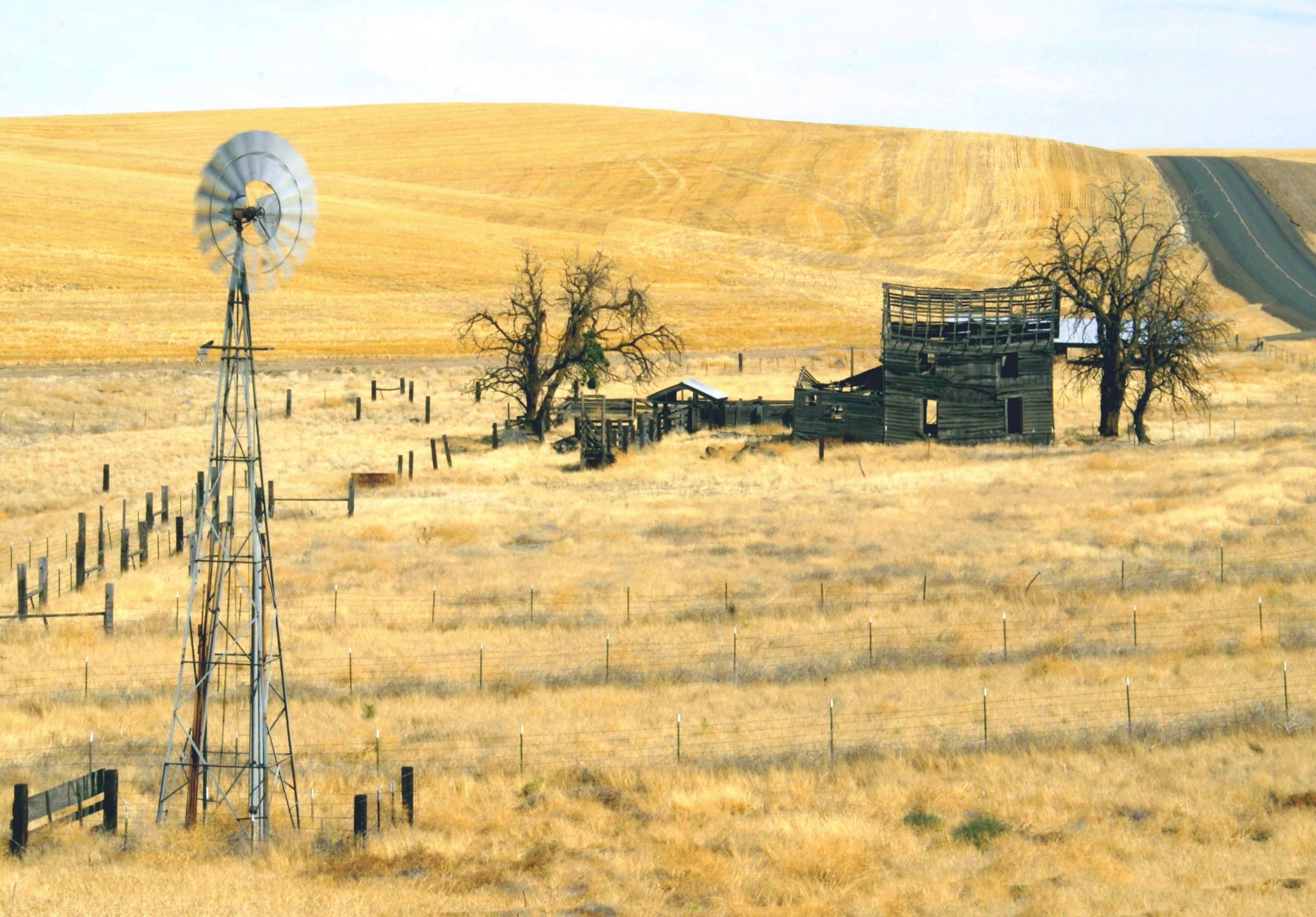
Lonely Barn
Deschutes River Trail
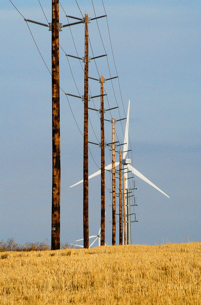
Power... 20111015_1702
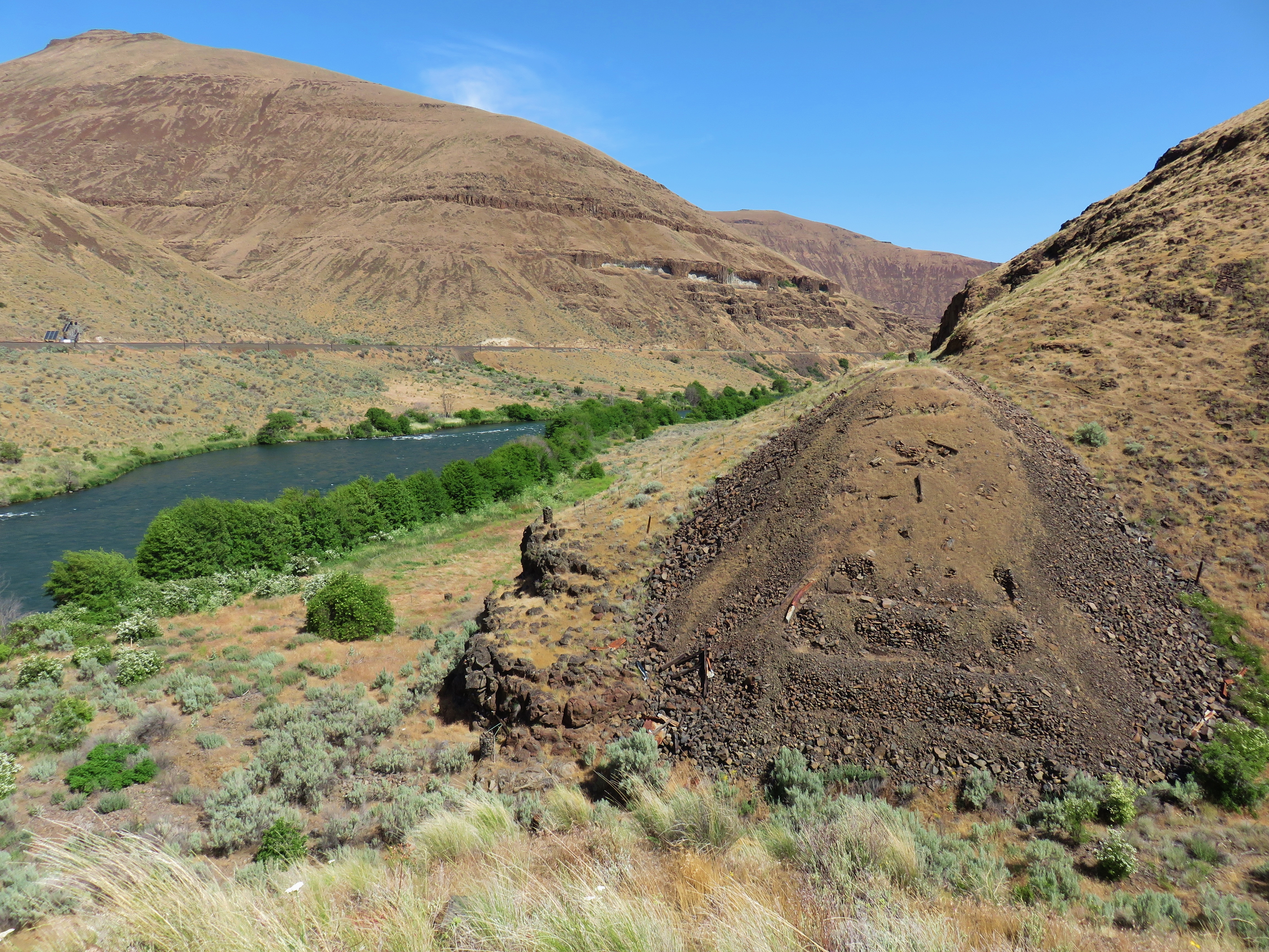
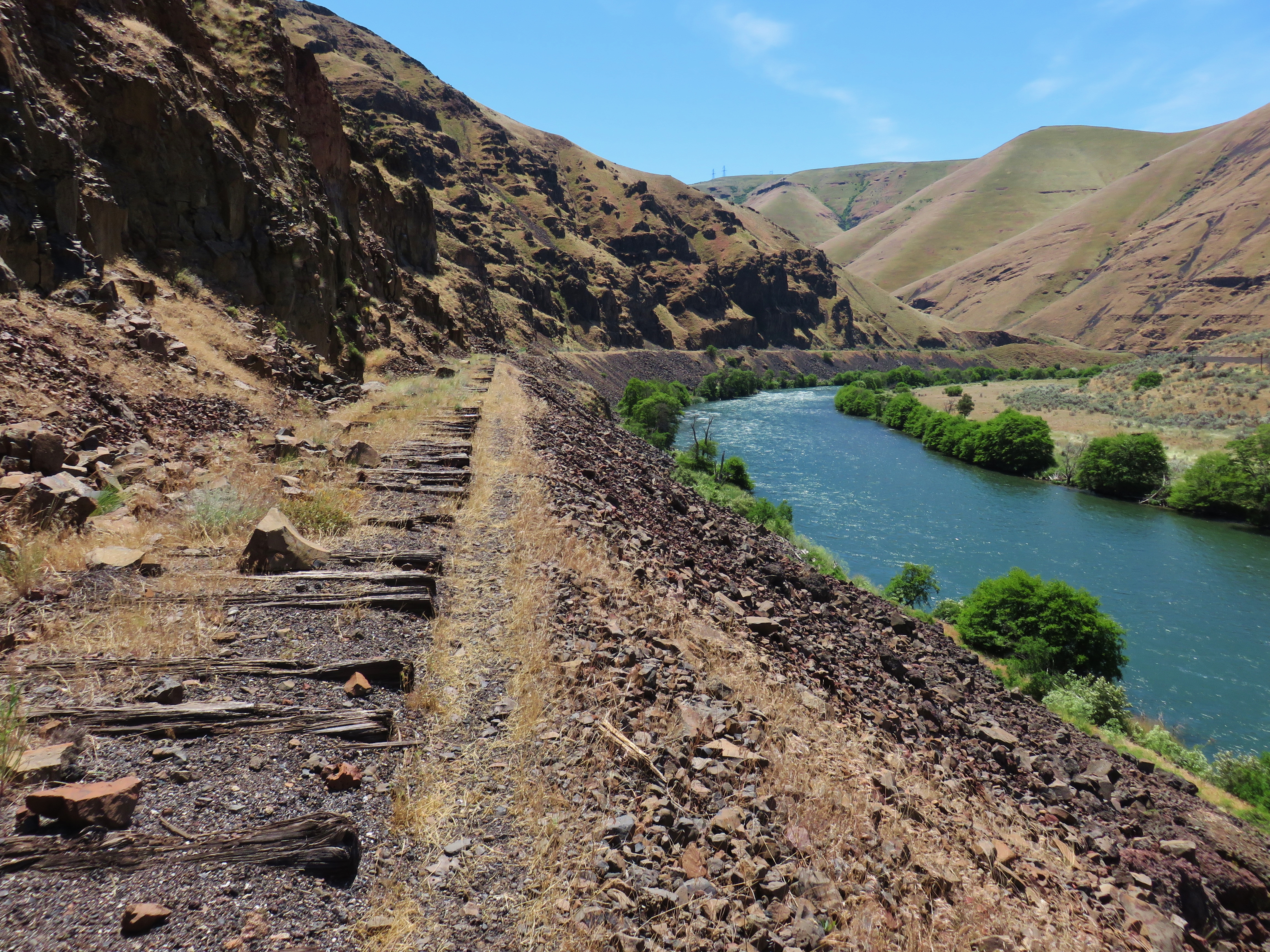
Missing trestle number 4
Topographic Map of Moro, OR, USA
Find elevation by address:

Places near Moro, OR, USA:
Sherman County
Wasco
Clark St, Wasco, OR, USA
Barnum Ln, Grass Valley, OR, USA
Grass Valley
Rufus
Biggs Junction
Deschutes River State Recreation Area
U.s. 97
4 Bailey Loop Dr
69 Van Hoy Rd
Centerville
35 Cole Mountain Loop
Goldendale
115 W Court St
2 Sara View Dr
28 Payne Ln
274 Rimrock Rd
284 Rimrock Rd
1595 Us-97
Recent Searches:
- Elevation of Pasing, Munich, Bavaria, 81241, Germany
- Elevation of 24, Auburn Bay Crescent SE, Auburn Bay, Calgary, Alberta, T3M 0A6, Canada
- Elevation of Denver, 2314, Arapahoe Street, Five Points, Denver, Colorado, 80205, USA
- Elevation of Community of the Beatitudes, 2924, West 43rd Avenue, Sunnyside, Denver, Colorado, 80211, USA
- Elevation map of Litang County, Sichuan, China
- Elevation map of Madoi County, Qinghai, China
- Elevation of 3314, Ohio State Route 114, Payne, Paulding County, Ohio, 45880, USA
- Elevation of Sarahills Drive, Saratoga, Santa Clara County, California, 95070, USA
- Elevation of Town of Bombay, Franklin County, New York, USA
- Elevation of 9, Convent Lane, Center Moriches, Suffolk County, New York, 11934, USA
- Elevation of Saint Angelas Convent, 9, Convent Lane, Center Moriches, Suffolk County, New York, 11934, USA
- Elevation of 131st Street Southwest, Mukilteo, Snohomish County, Washington, 98275, USA
- Elevation of 304, Harrison Road, Naples, Cumberland County, Maine, 04055, USA
- Elevation of 2362, Timber Ridge Road, Harrisburg, Cabarrus County, North Carolina, 28075, USA
- Elevation of Ridge Road, Marshalltown, Marshall County, Iowa, 50158, USA
- Elevation of 2459, Misty Shadows Drive, Pigeon Forge, Sevier County, Tennessee, 37862, USA
- Elevation of 8043, Brightwater Way, Spring Hill, Williamson County, Tennessee, 37179, USA
- Elevation of Starkweather Road, San Luis, Costilla County, Colorado, 81152, USA
- Elevation of 5277, Woodside Drive, Baton Rouge, East Baton Rouge Parish, Louisiana, 70808, USA
- Elevation of 1139, Curtin Street, Shepherd Park Plaza, Houston, Harris County, Texas, 77018, USA