Elevation of Moonan Flat NSW, Australia
Location: Australia > New South Wales >
Longitude: 151.208262
Latitude: -31.925843
Elevation: 387m / 1270feet
Barometric Pressure: 97KPa
Elevation Map:
Satellite Map:
Related Photos:

Just outside the Barrington Tops State Forest Dingo Gate on the Road to Moonan Brook, NSW

Cliffline views from near Woolooma National Park, NSW Australia 3

Cliffline views from near Woolooma National Park, NSW Australia 1

Just outside the Barrington Tops State Forest Dingo Gate on the Road to Moonan Brook, NSW
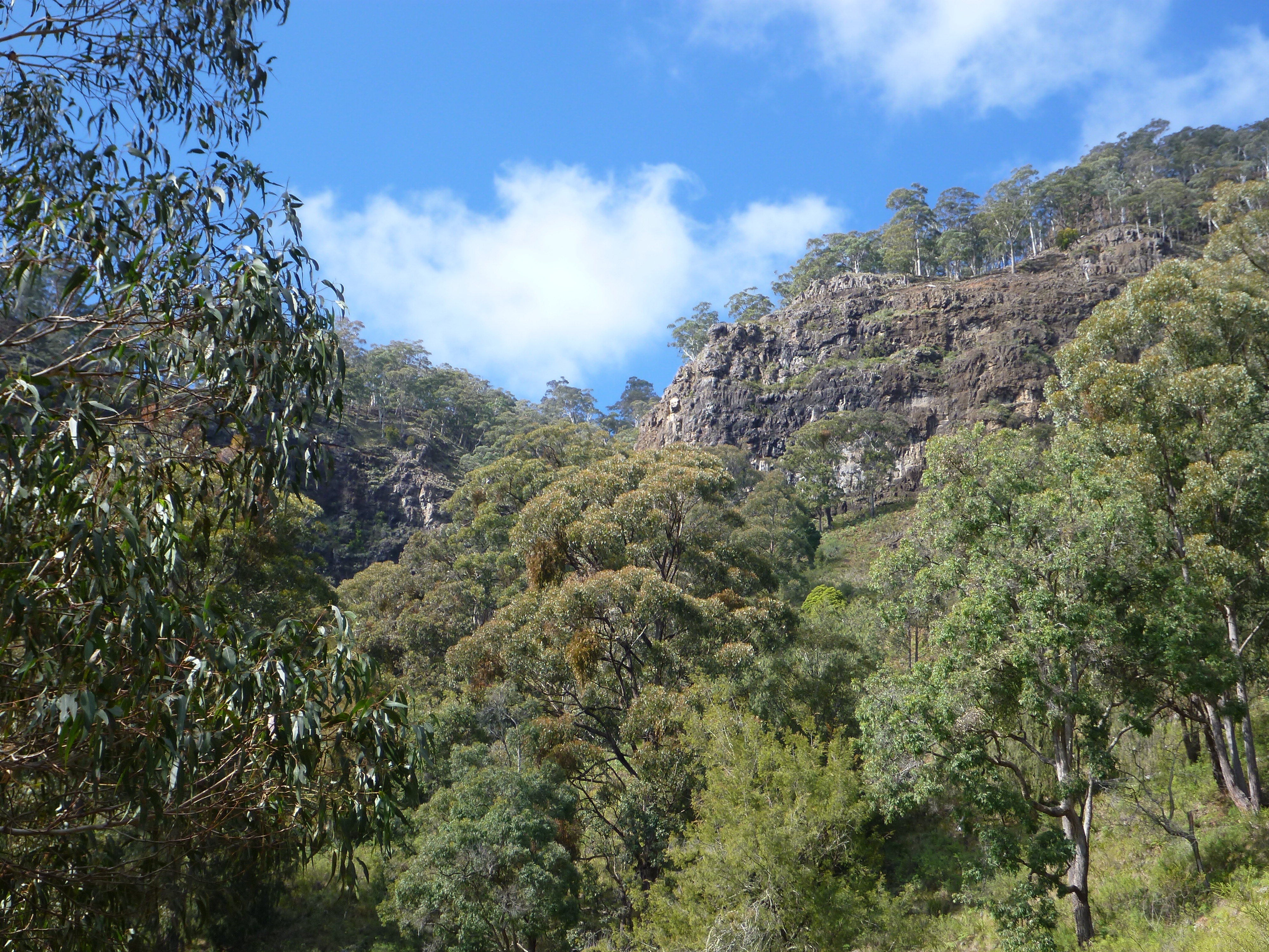
Cliffline views from near Woolooma National Park, NSW Australia 2

THE SUNLIT HILL

2017-04-22 Moonan Brook Sunset_DSC2835.jpg

HUG THE LAND

BELOW THE CREST

Woolooma Range, east of Scone, NSW Australia

Woolooma Range, east of Scone, NSW Australia

Eastern grey box forest

Woolooma National Park

Rex Collison Bridge, Moonan Flat, near Scone, NSW

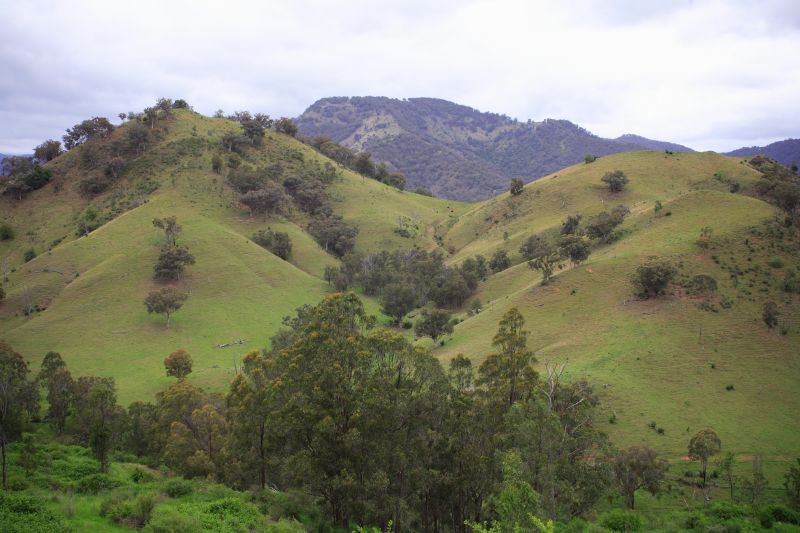
Hills to the west of Barrington Tops

Australia [071]
Australia [067]

Australia [066]
Topographic Map of Moonan Flat NSW, Australia
Find elevation by address:

Places near Moonan Flat NSW, Australia:
169 Carters Rd
Barrington Tops
Hanging Rock
Murrurundi
1239 Barry Rd
Pages River
505 Pages River Rd
771 Barry Rd
Mataro Avenue
2 Keegan St
Nundle
Muswellbrook
Upper Hunter Shire Council
Allawah Road
Niangala
Quirindi
Hell Hole Forest Road
Nowendoc
Grundy Forest Road
Liverpool Plains Shire Council
Recent Searches:
- Elevation of Corso Fratelli Cairoli, 35, Macerata MC, Italy
- Elevation of Tallevast Rd, Sarasota, FL, USA
- Elevation of 4th St E, Sonoma, CA, USA
- Elevation of Black Hollow Rd, Pennsdale, PA, USA
- Elevation of Oakland Ave, Williamsport, PA, USA
- Elevation of Pedrógão Grande, Portugal
- Elevation of Klee Dr, Martinsburg, WV, USA
- Elevation of Via Roma, Pieranica CR, Italy
- Elevation of Tavkvetili Mountain, Georgia
- Elevation of Hartfords Bluff Cir, Mt Pleasant, SC, USA