Elevation map of Liverpool Plains Shire Council, Liverpool Plains, NSW, Australia
Location: Australia > New South Wales >
Longitude: 150.489229
Latitude: -31.643149
Elevation: 364m / 1194feet
Barometric Pressure: 97KPa
Elevation Map:
Satellite Map:
Related Photos:

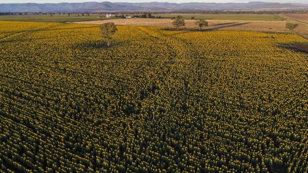
Sunflower Rows

Sunflower Field

Praying Sunflowers
Parraweena Sunrise

Horsfield's Bushlark (Mirafra javanica)

Joy 1

Sorghum stubble

Waiting to open

Amongst the Crop SOOC
Topographic Map of Liverpool Plains Shire Council, Liverpool Plains, NSW, Australia
Find elevation by address:

Places in Liverpool Plains Shire Council, Liverpool Plains, NSW, Australia:
Places near Liverpool Plains Shire Council, Liverpool Plains, NSW, Australia:
Quirindi
Pages River
505 Pages River Rd
Murrurundi
Upper Hunter Shire Council
Duri
Nundle
Narraburra
Rosella Avenue
Tamworth
Tamworth
Roderick Street
771 Barry Rd
Hanging Rock
2 Keegan St
1239 Barry Rd
Mataro Avenue
Piallamore
45 Mornington Cres
42 Mornington Cres
Recent Searches:
- Elevation of Corso Fratelli Cairoli, 35, Macerata MC, Italy
- Elevation of Tallevast Rd, Sarasota, FL, USA
- Elevation of 4th St E, Sonoma, CA, USA
- Elevation of Black Hollow Rd, Pennsdale, PA, USA
- Elevation of Oakland Ave, Williamsport, PA, USA
- Elevation of Pedrógão Grande, Portugal
- Elevation of Klee Dr, Martinsburg, WV, USA
- Elevation of Via Roma, Pieranica CR, Italy
- Elevation of Tavkvetili Mountain, Georgia
- Elevation of Hartfords Bluff Cir, Mt Pleasant, SC, USA