Elevation of 45 Mornington Cres, Moore Creek NSW, Australia

Location: Australia > New South Wales > Tamworth Regional Council > Moore Creek >

Longitude: 150.904348

Latitude: -31.019467

Elevation: 520m / 1706feet

Barometric Pressure: 95KPa

Elevation Map:

elevation map of 45 Mornington Cres, Moore Creek NSW, Australia

Satellite Map:

Satellite map of 45 Mornington Cres, Moore Creek NSW, Australia

Related Photos:

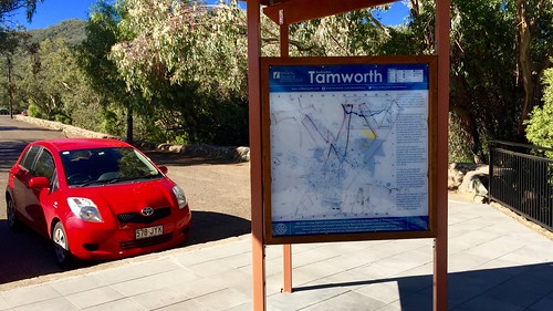
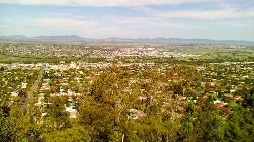
2015 oxley lookout tamworth newsouthwales australia outdoor iphone6plus
Oxley Lookout, Tamworth
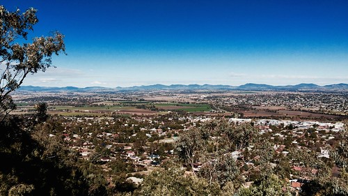
panorama landscape pano lookout nsw tamworth panoramastitch northwestnsw msice msicestitch msicepanorama oxleyparklookout oxleysceniclookout
View from Oxley Park Lookout, Tamworth, NSW
panorama landscape pano north lookout nsw tamworth panoramastitch northwestnsw msice msicestitch msicepanorama oxleyparklookout oxleysceniclookout
View from Oxley Park Lookout, Tamworth, NSW
tamworth newsouthwales 2015 oxley lookout outdoor endeavour park australia iphone6plus
Oxley Lookout, Endeavour Park, East Tamworth, New South Wales
2015 australia nsw tamworth lookout oxley outdoor landscape iphone6plus
Tamworth from Oxley Lookout, New South Wales, Australia
tamworth nsw 2015 australia iphone6plus park endeavour
Oxley Lookout, Tamworth
2015 australia newsouthwales tamworth lookout oxley outdoor landscape
The view from Oxley Lookout, Tamworth, Australia
The view from Oxley Lookout, Tamworth
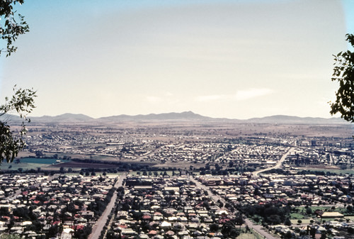
urban building film nature landscape cityscape scanner australia slide scan nsw geography aus filmscan tamworth 35mmfilmcamera yashicaj3 35mmslrcamera liverpoolplains yashinon50mmf2lens canonpixmamg8150 hanimexcs50
View of Tamworth
urban building film nature landscape cityscape scanner australia slide scan nsw geography aus filmscan tamworth 35mmfilmcamera yashicaj3 35mmslrcamera liverpoolplains yashinon50mmf2lens canonpixmamg8150 hanimexcs50
View of Tamworth
eagle electronics pcb schematic arduino cncmill
ArduFrauenfelderCNC_0.1-b3_board_image
eagle electronics pcb schematic arduino cncmill cadsoft
ArduFrauenfelderCNC_0.1-b9_board_image
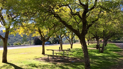
oxley lookout tamworth 2015 nsw australia iphone6plus apple outdoor park endeavour tree plant
Oxley Lookout in Endeavour Park, East Tamworth, New South Wales
2010 2353 2470mmf28ged au adobe aged australia building bushells bushellscoffee bushellstea cloud cornershop d700 dairy distressed fibro gp1 grass hoya lightroom lightroom32 moonbi morecupsfinerflavour nsw newsouthwales nikkor nikkor2470mmf28ged nikon september shop sign signwriting sky spring superhmcpro1 tea tree trees uvfilter uv0 wall 7001514
Time for a Cuppa
abcopen:project=nat2
Old Peel St Garage
abcopen:project=nat2
Riding down Bridge Street.
abcopen:project=nat2
Tamworth Post office
vg100dayphotochallenge ágyamból viewfrommybed day12
#vg100dayphotochallenge #ágyamból #view_from_my_bed #DAY12
panorama test tamworth
The 'Worth
tlr australia nsw 365 tamworth bbf blackbirdfly superheadz iphone3gs
[009] Waist level world.
Tamworth looking south
school newsouthwales tamworth gsv multiview postcardfolder farreragriculturalhighschool pv86
0176-11 Farrer Agricultural High School, Tamworth
grass weather rural bush burn nsw service bushfire rfs nswrfs ruralfireservice
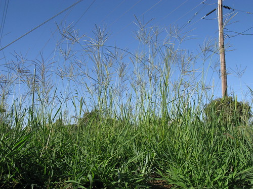
Coolatai grass growth at Attunga near Tamworth.
grass poaceae eragrostis taxonomy:binomial=eragrostisalveiformis alveiformis
Eragrostis alveiformis spikelets6 NWS
grass digit premier poaceae digitaria eriantha taxonomy:binomial=digitariaeriantha
Digitaria eriantha plant11 NWS
Tamworth from Oxley Lookout
sunset
Sunset Tamworth ICU Roof
Pulling down these 70yr old fences. Bloody barbed wire has wrecked my cloths and cut my skin.
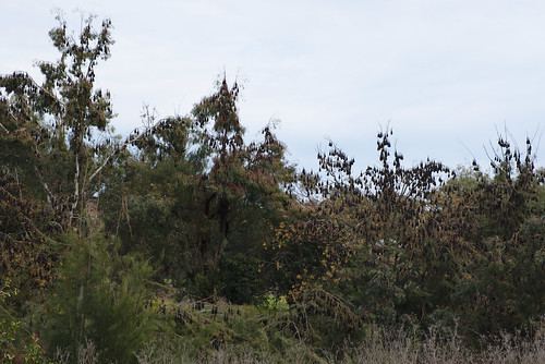
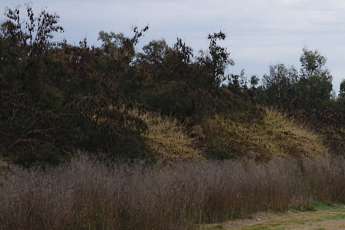
Flying fox colony
Flying fox colony
Oxley lookout, Tamworth, New South Wales
End of 2018
square squareformat hudson iphoneography instagramapp uploaded:by=instagram foursquare:venue=4e84321b9adffd3a44e8bc21
Apocalyptic sunset in Tamworth. #apocalypse #sunset #roadtrip #triplejroadtrip
Forest Hills