Elevation of Allawah Road, Allawah Rd, Ogunbil NSW, Australia
Location: Australia > New South Wales > Tamworth Regional Council >
Longitude: 151.216254
Latitude: -31.303615
Elevation: 544m / 1785feet
Barometric Pressure: 95KPa
Elevation Map:
Satellite Map:
Related Photos:

Waiting for rain

Chaffey Dam

The High Country

Whip Cracking & Lassooing

Bushwalking at Sheba Dam
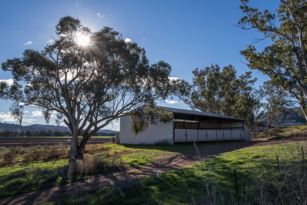
Waiting for rain

Sunset, Chaffey Dam

Sunset over Chaffy Dam near Nundle

The beautiful creatures that you see when on walkabout in nature

Beautiful friends in nature

Walkabout photos of today

Walkabout photos of today

Walkabout photos of today

Shanti enjoying a bushwalk at Sheba Dam lookout near Nundle and Tamworth New South Wales Australia

Peel River at Bowling Alley Point near Nundle, NSW
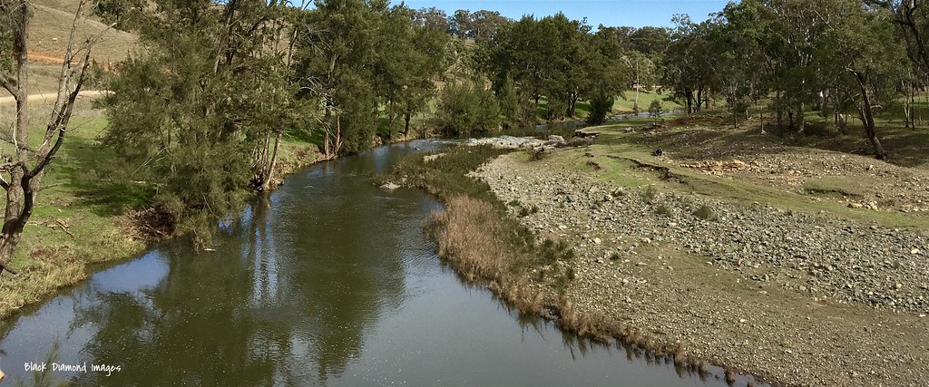
Peel River at Bowling Alley Point near Nundle, NSW

Chaffey Dam
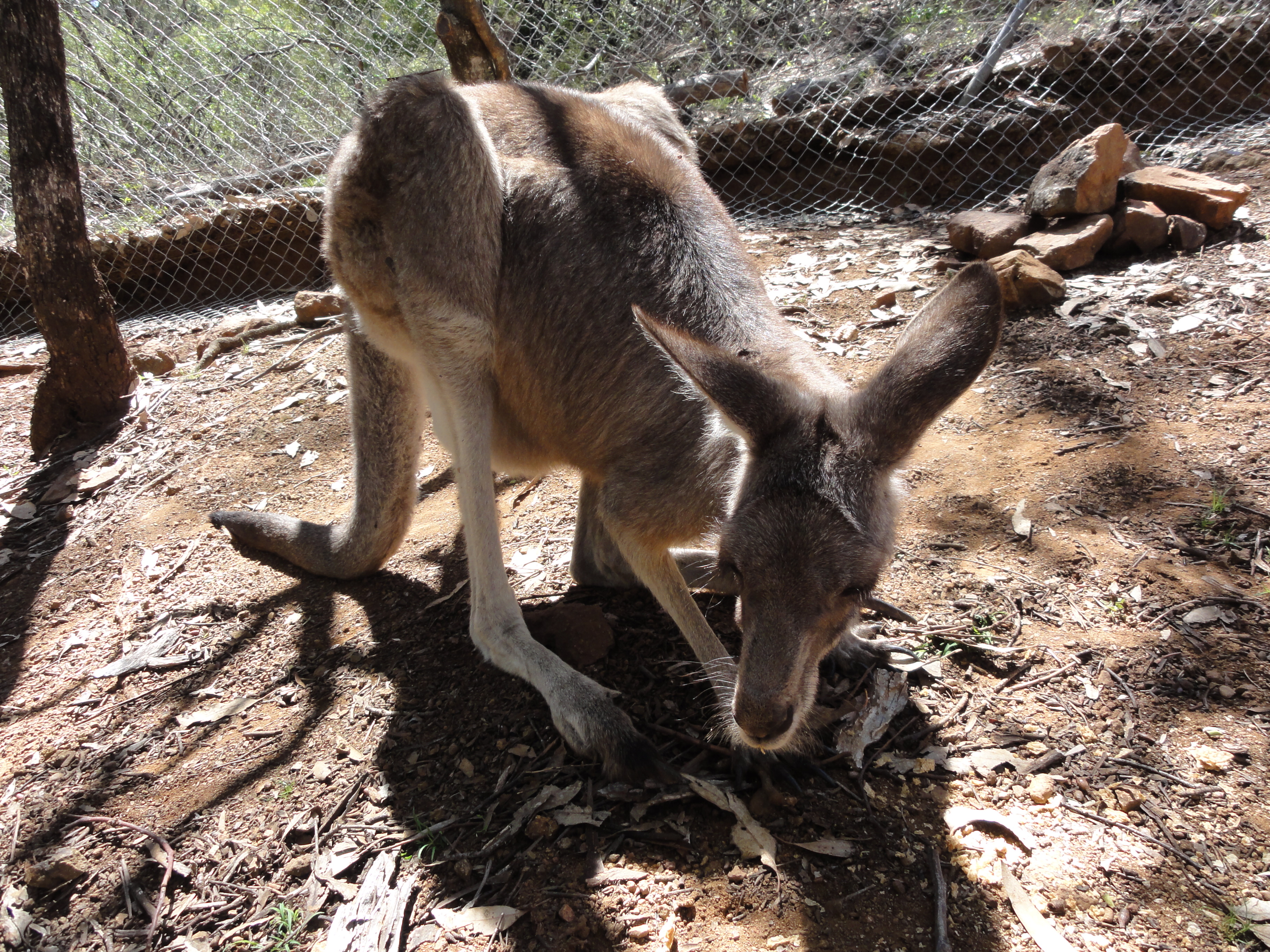
Got to feed weetabix to some sweet little Kangaroo's

Some people get burnt in the sun. Wont see me wearing these in 30degree heat!

So this is what the outback looks like

Chaffey dam
Topographic Map of Allawah Road, Allawah Rd, Ogunbil NSW, Australia
Find elevation by address:

Places near Allawah Road, Allawah Rd, Ogunbil NSW, Australia:
771 Barry Rd
Nundle
Niangala
Amberley
1239 Barry Rd
Piallamore
Hanging Rock
Rosella Avenue
Danglemah Road
2337 Danglemah Rd
Roderick Street
Tamworth
Tamworth
Hell Hole Forest Road
Walcha Road Police Station
Walcha Road Hotel
Duri
Moore Creek
44 Mornington Cres
42 Mornington Cres
Recent Searches:
- Elevation of Corso Fratelli Cairoli, 35, Macerata MC, Italy
- Elevation of Tallevast Rd, Sarasota, FL, USA
- Elevation of 4th St E, Sonoma, CA, USA
- Elevation of Black Hollow Rd, Pennsdale, PA, USA
- Elevation of Oakland Ave, Williamsport, PA, USA
- Elevation of Pedrógão Grande, Portugal
- Elevation of Klee Dr, Martinsburg, WV, USA
- Elevation of Via Roma, Pieranica CR, Italy
- Elevation of Tavkvetili Mountain, Georgia
- Elevation of Hartfords Bluff Cir, Mt Pleasant, SC, USA