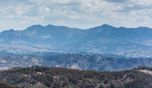
Elevation of Hanging Rock NSW, Australia
Location: Australia > New South Wales > Tamworth Regional Council >
Longitude: 151.200773
Latitude: -31.517235
Elevation: 1198m / 3930feet
Barometric Pressure: 88KPa
Related Photos:
Topographic Map of Hanging Rock NSW, Australia
Find elevation by address:

Places near Hanging Rock NSW, Australia:
1239 Barry Rd
771 Barry Rd
Nundle
Allawah Road
Niangala
Amberley
Piallamore
Moonan Flat
Hell Hole Forest Road
Murrurundi
Rosella Avenue
Duri
Pages River
505 Pages River Rd
Roderick Street
Grundy Forest Road
Tamworth
Tamworth
Nowendoc
Quirindi
Recent Searches:
- Elevation of Corso Fratelli Cairoli, 35, Macerata MC, Italy
- Elevation of Tallevast Rd, Sarasota, FL, USA
- Elevation of 4th St E, Sonoma, CA, USA
- Elevation of Black Hollow Rd, Pennsdale, PA, USA
- Elevation of Oakland Ave, Williamsport, PA, USA
- Elevation of Pedrógão Grande, Portugal
- Elevation of Klee Dr, Martinsburg, WV, USA
- Elevation of Via Roma, Pieranica CR, Italy
- Elevation of Tavkvetili Mountain, Georgia
- Elevation of Hartfords Bluff Cir, Mt Pleasant, SC, USA


