Elevation of Niangala NSW, Australia
Location: Australia > New South Wales >
Longitude: 151.409444
Latitude: -31.298333
Elevation: 1155m / 3789feet
Barometric Pressure: 88KPa
Elevation Map:
Satellite Map:
Related Photos:

After sunset

Macdonald River at The Flags

Branga Plains

The High Country
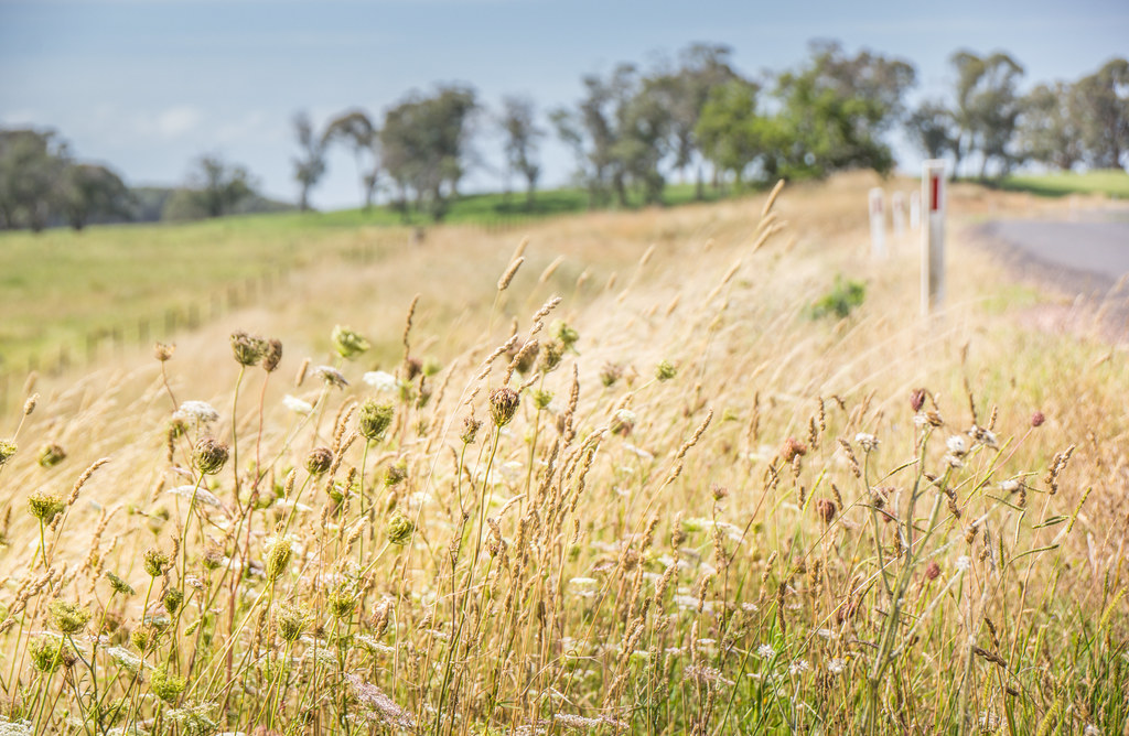
Golden Grass

A Road

5 Head Stamper Niangala Gol Mine
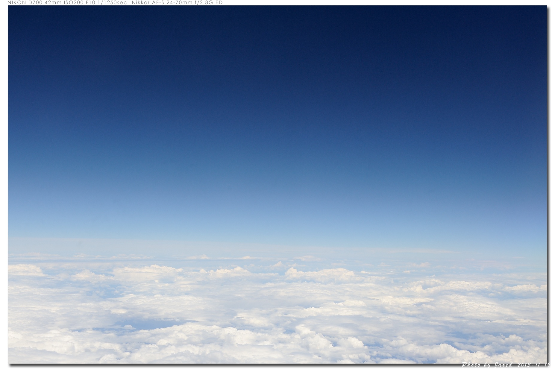
20131119_104437_澳大利亞
Topographic Map of Niangala NSW, Australia
Find elevation by address:

Places near Niangala NSW, Australia:
Allawah Road
Hell Hole Forest Road
Grundy Forest Road
771 Barry Rd
1239 Barry Rd
Hanging Rock
Nowendoc
2337 Danglemah Rd
Danglemah Road
Nundle
Walcha Road Police Station
Walcha Road Hotel
Amberley
Walcha
213e Croudace St
Piallamore
Rosella Avenue
Roderick Street
Tamworth
Tamworth
Recent Searches:
- Elevation of Corso Fratelli Cairoli, 35, Macerata MC, Italy
- Elevation of Tallevast Rd, Sarasota, FL, USA
- Elevation of 4th St E, Sonoma, CA, USA
- Elevation of Black Hollow Rd, Pennsdale, PA, USA
- Elevation of Oakland Ave, Williamsport, PA, USA
- Elevation of Pedrógão Grande, Portugal
- Elevation of Klee Dr, Martinsburg, WV, USA
- Elevation of Via Roma, Pieranica CR, Italy
- Elevation of Tavkvetili Mountain, Georgia
- Elevation of Hartfords Bluff Cir, Mt Pleasant, SC, USA