Elevation of Nundle NSW, Australia
Location: Australia > New South Wales > Tamworth Regional Council >
Longitude: 151.125391
Latitude: -31.469670
Elevation: 605m / 1985feet
Barometric Pressure: 94KPa
Elevation Map:
Satellite Map:
Related Photos:
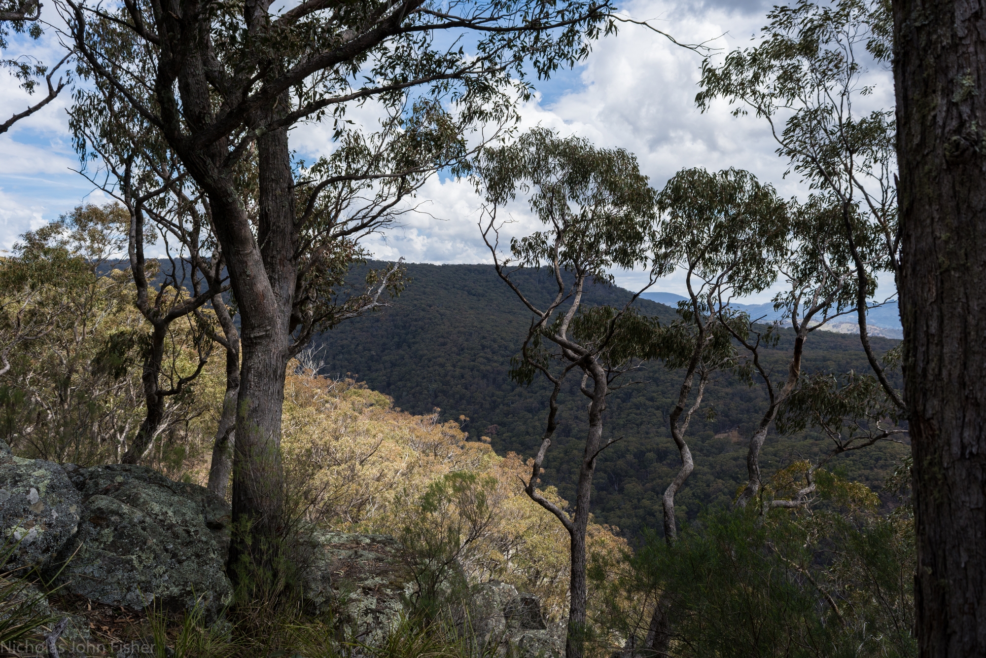
edge of the plateau
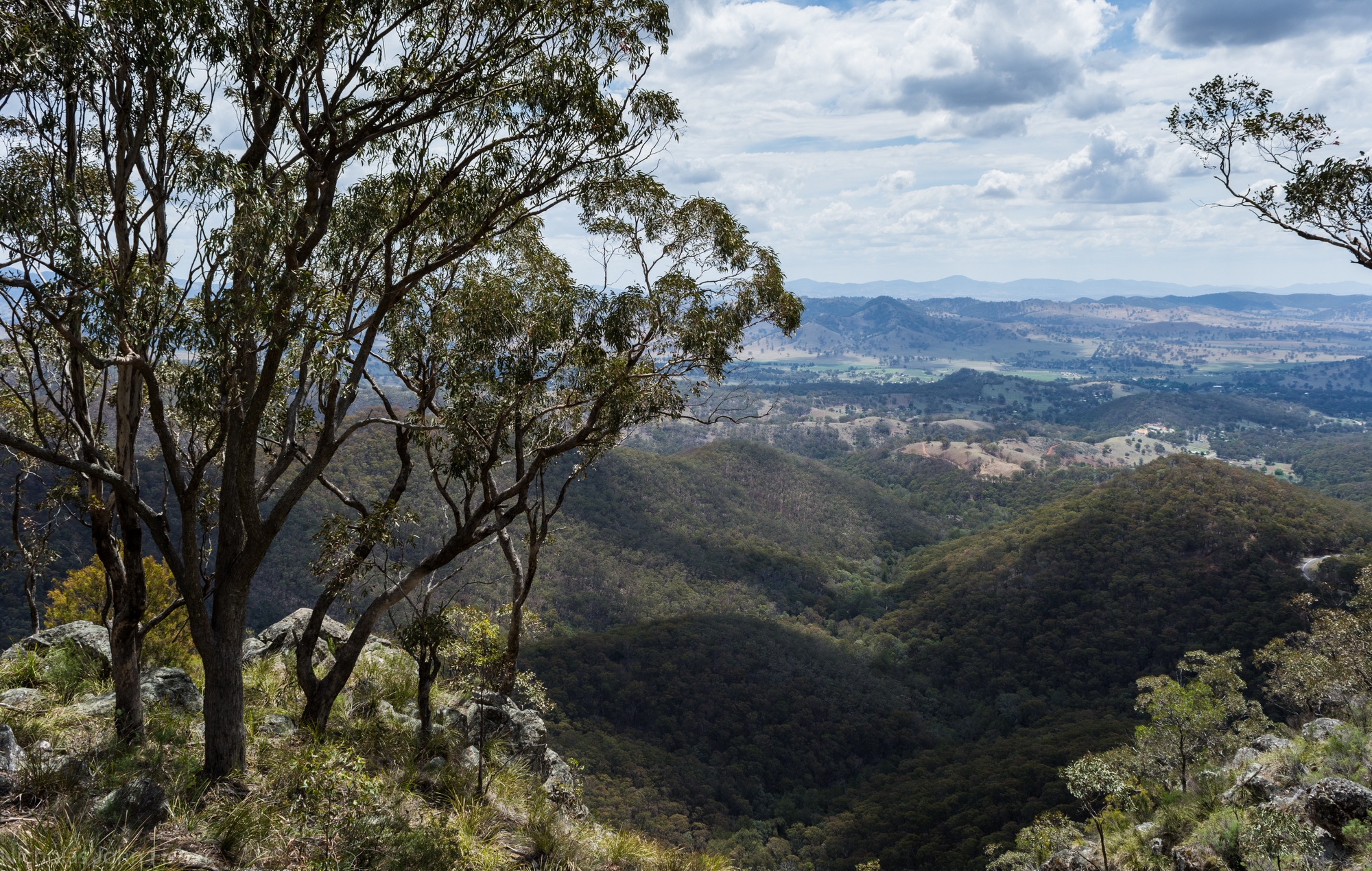
Hanging Rock outlook
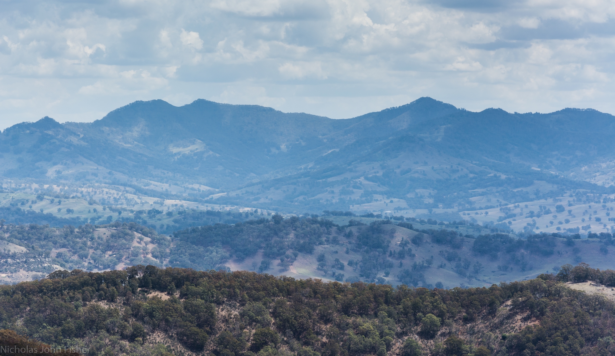
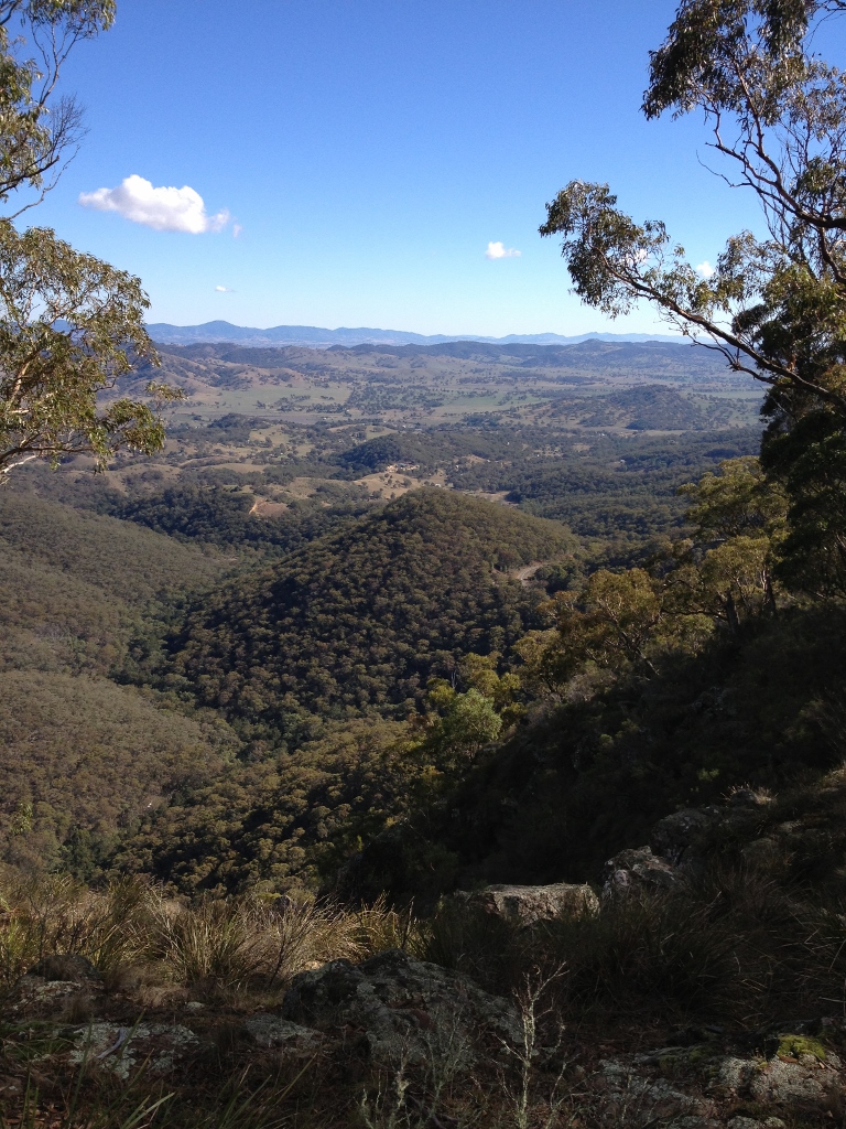
Peel Valley to Crawney Mountain
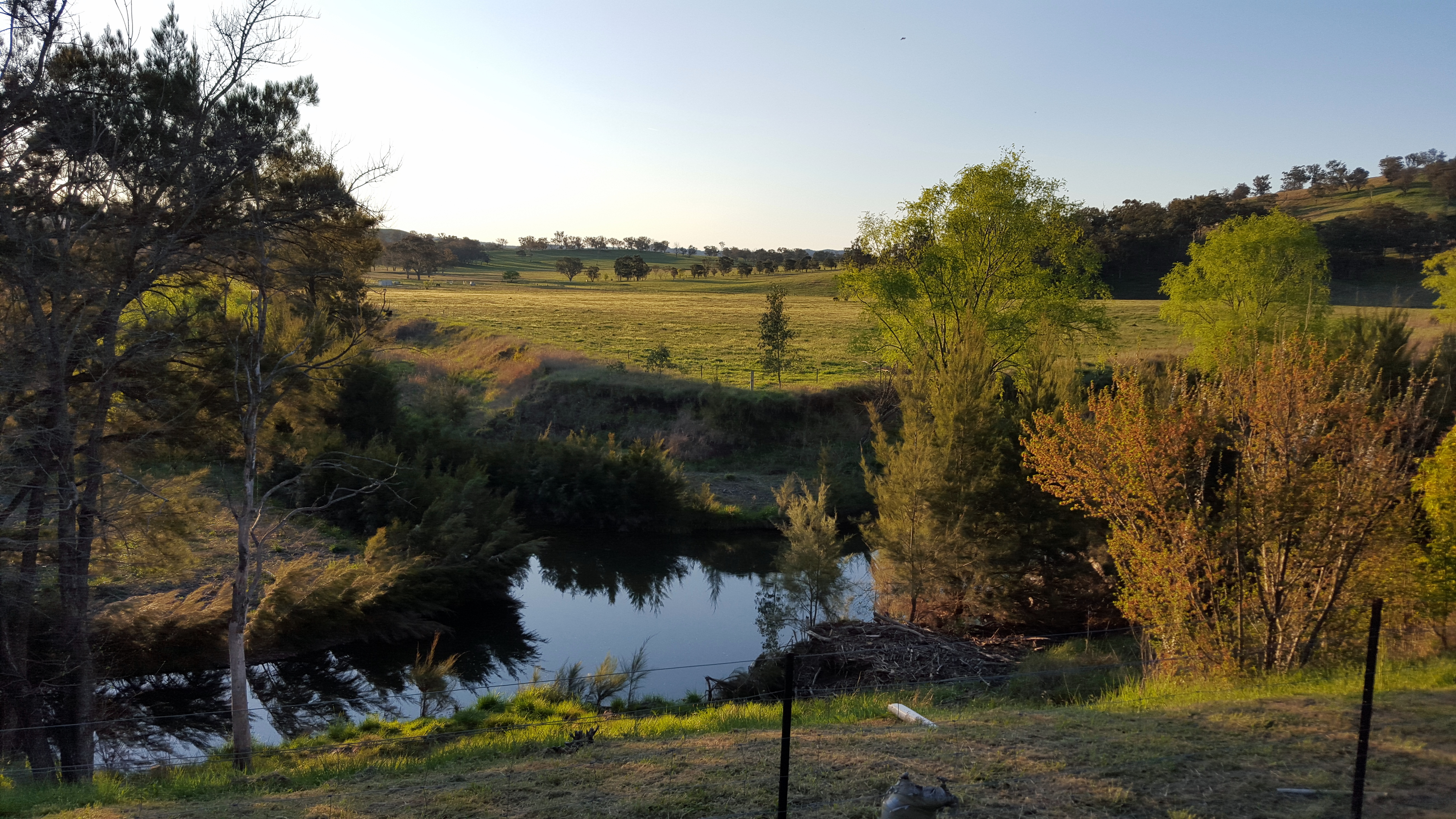
Late afternoon view from our cabin at Fossickers Caravan park, Nundle
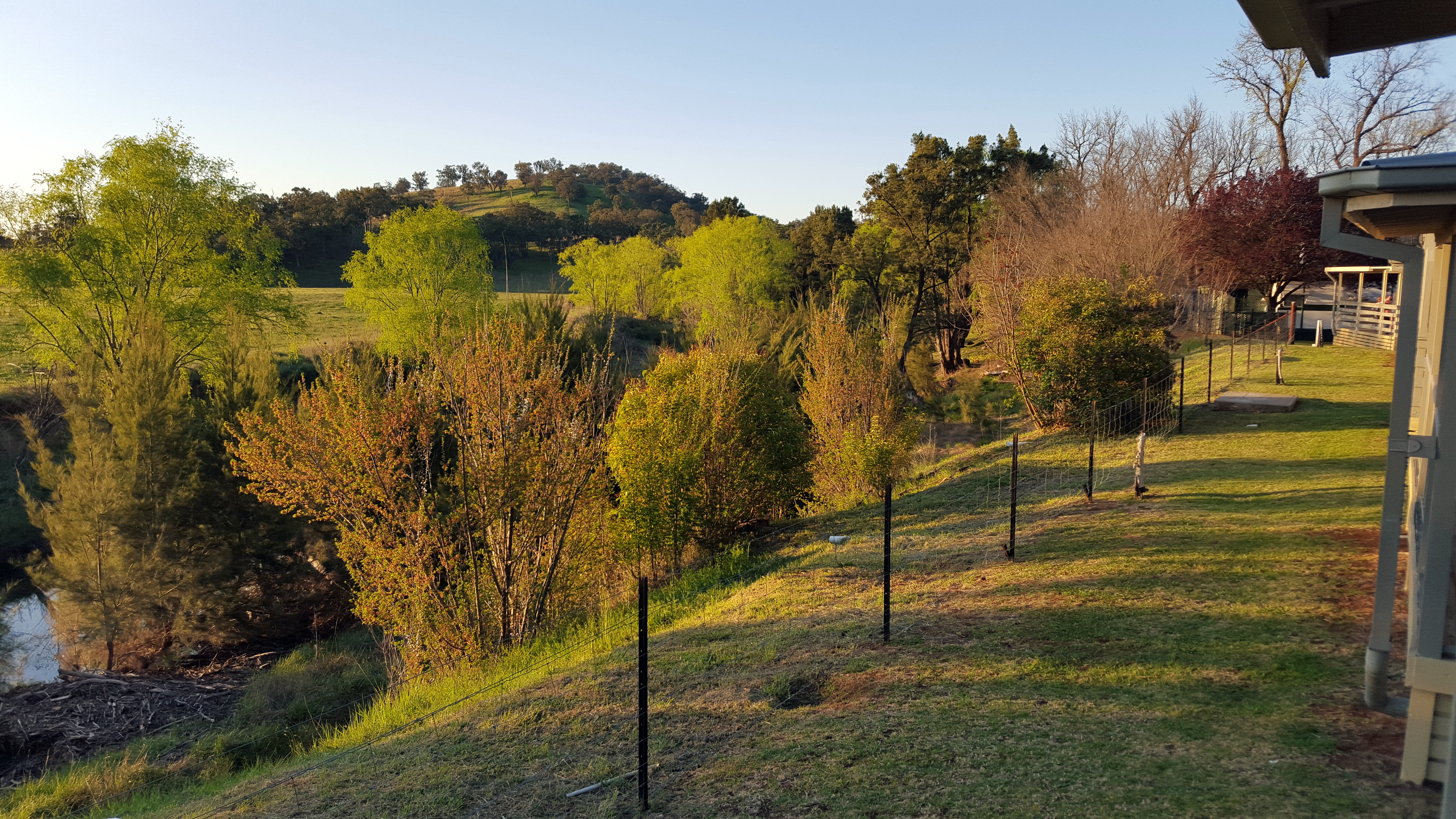
Late afternoon view from our cabin at Fossickers Caravan park, Nundle

Ben Halls Gap National Park sphagnum moss cool temperate rainforest community
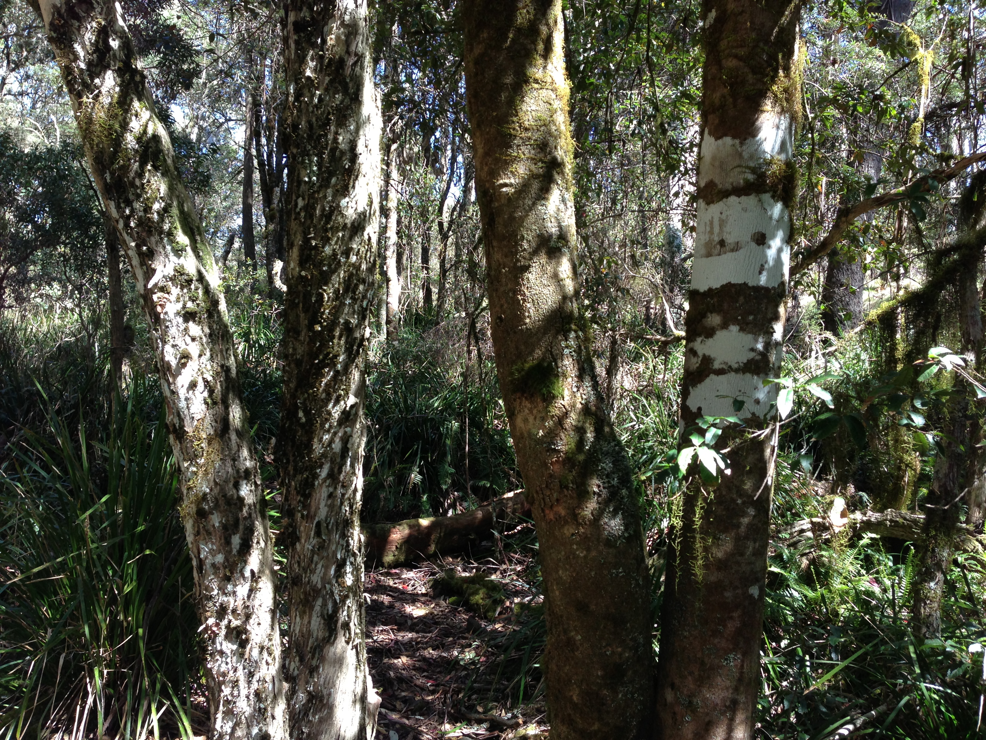
Tree trunks in Ben Halls Gap National Park sphagnum moss cool temperate rainforest community
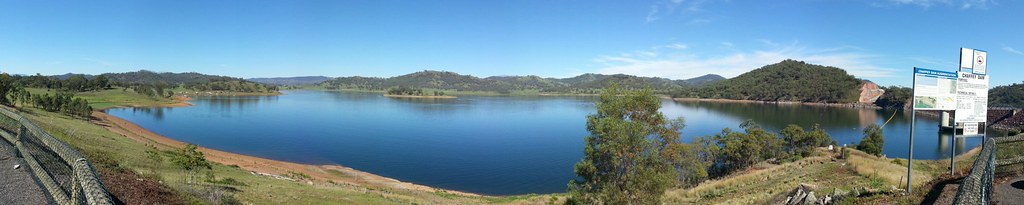
Chaffey Dam

Picnic at Hanging Rock, Australia
Hanging Rock Lookout, Nundle NSW AU
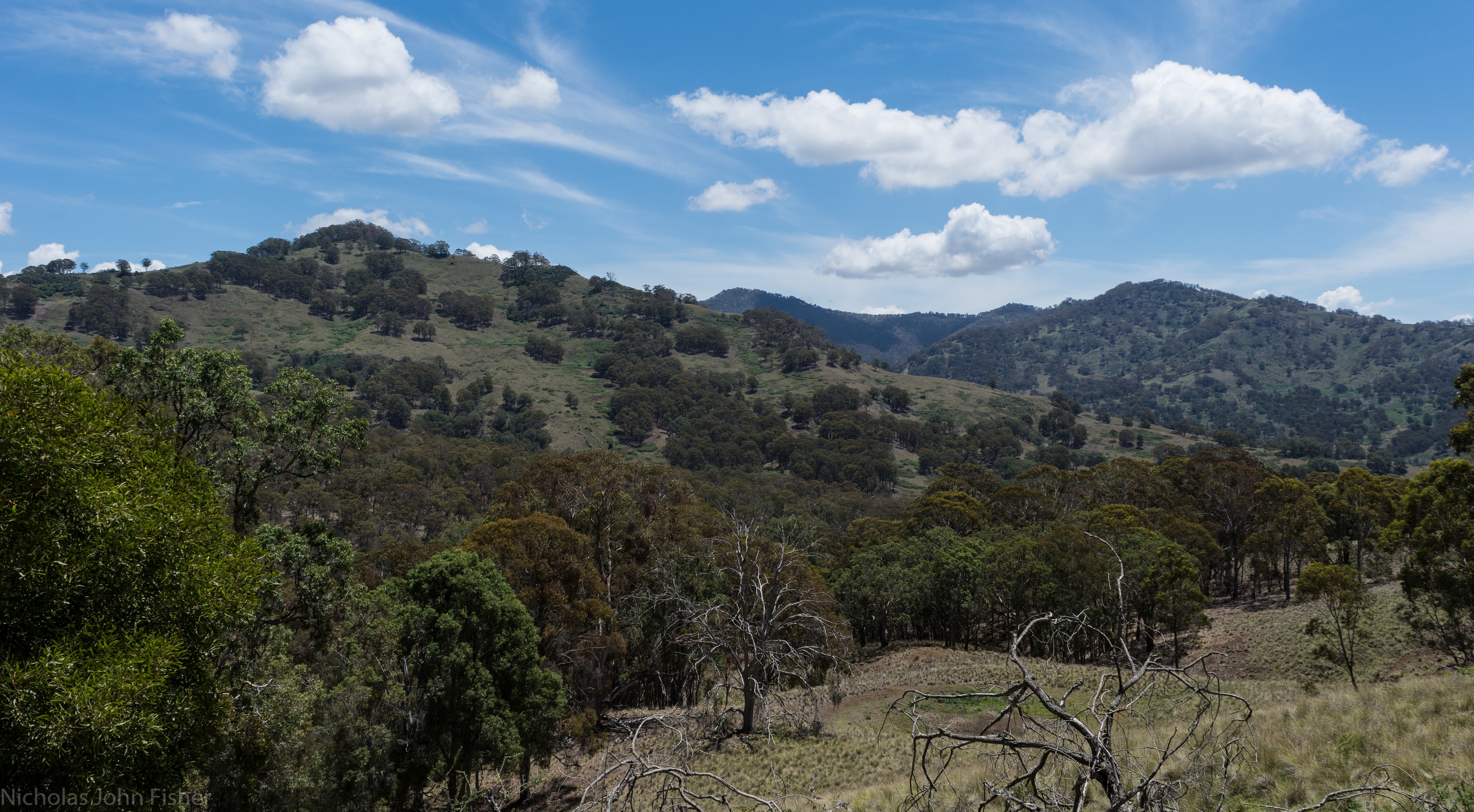
Crawney Mountain
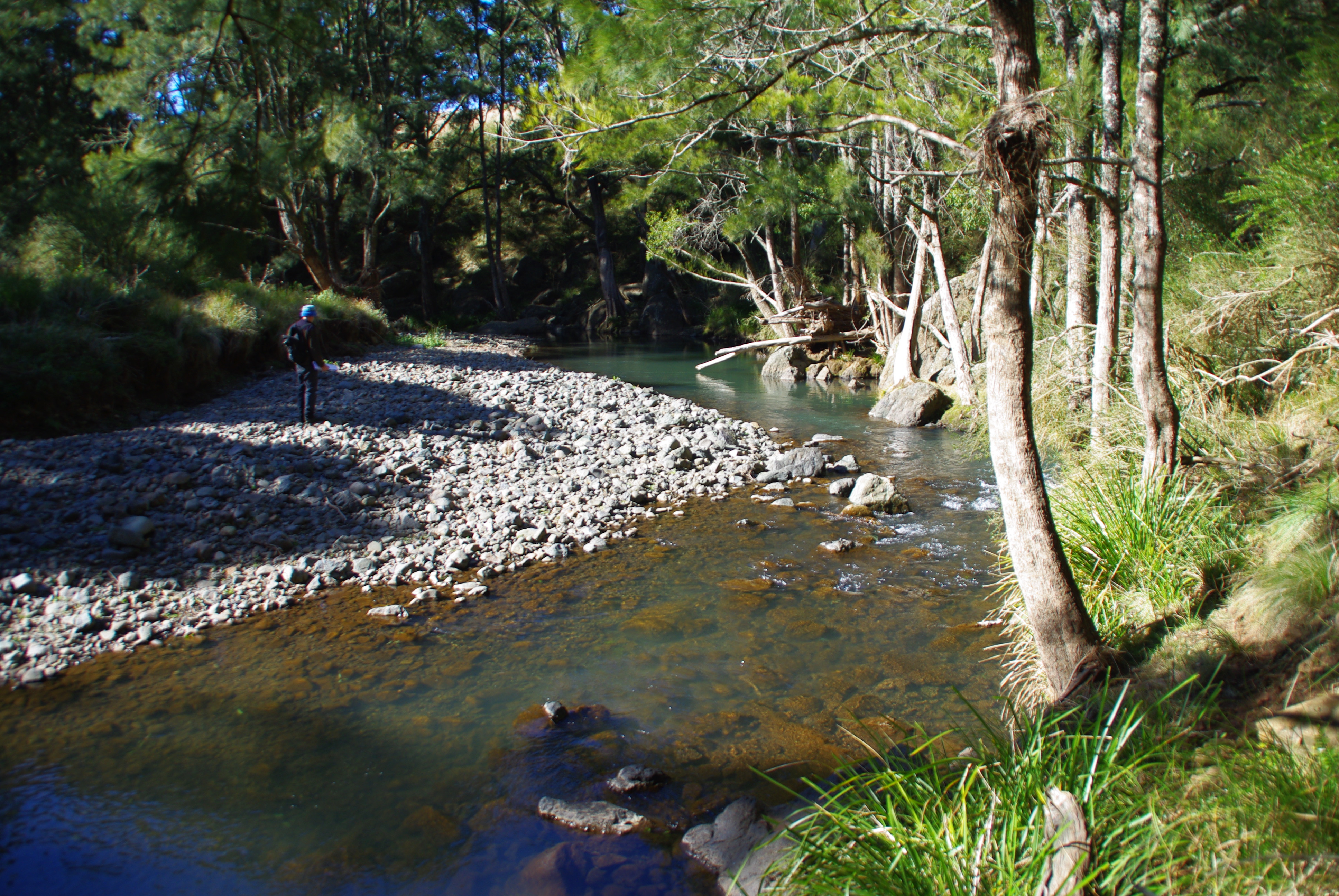
Barnard River at 'Glen Almond', NSW
Topographic Map of Nundle NSW, Australia
Find elevation by address:

Places near Nundle NSW, Australia:
771 Barry Rd
Hanging Rock
1239 Barry Rd
Allawah Road
Amberley
Piallamore
Niangala
Rosella Avenue
Duri
Murrurundi
Roderick Street
Tamworth
Tamworth
Quirindi
Pages River
505 Pages River Rd
Moonan Flat
Hell Hole Forest Road
Danglemah Road
2337 Danglemah Rd
Recent Searches:
- Elevation of Corso Fratelli Cairoli, 35, Macerata MC, Italy
- Elevation of Tallevast Rd, Sarasota, FL, USA
- Elevation of 4th St E, Sonoma, CA, USA
- Elevation of Black Hollow Rd, Pennsdale, PA, USA
- Elevation of Oakland Ave, Williamsport, PA, USA
- Elevation of Pedrógão Grande, Portugal
- Elevation of Klee Dr, Martinsburg, WV, USA
- Elevation of Via Roma, Pieranica CR, Italy
- Elevation of Tavkvetili Mountain, Georgia
- Elevation of Hartfords Bluff Cir, Mt Pleasant, SC, USA