Elevation of Moore Creek NSW, Australia
Location: Australia > New South Wales > Tamworth Regional Council >
Longitude: 150.942370
Latitude: -30.993934
Elevation: 596m / 1955feet
Barometric Pressure: 94KPa
Elevation Map:
Satellite Map:
Related Photos:

Oxley Lookout, Tamworth
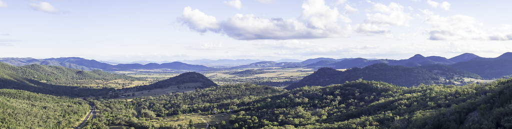
View from Moonbi Range Lookout, looking generally southwest towards Tamworth

View from Oxley Park Lookout, Tamworth, NSW

View from Oxley Park Lookout, Tamworth, NSW

Moonbi Tops
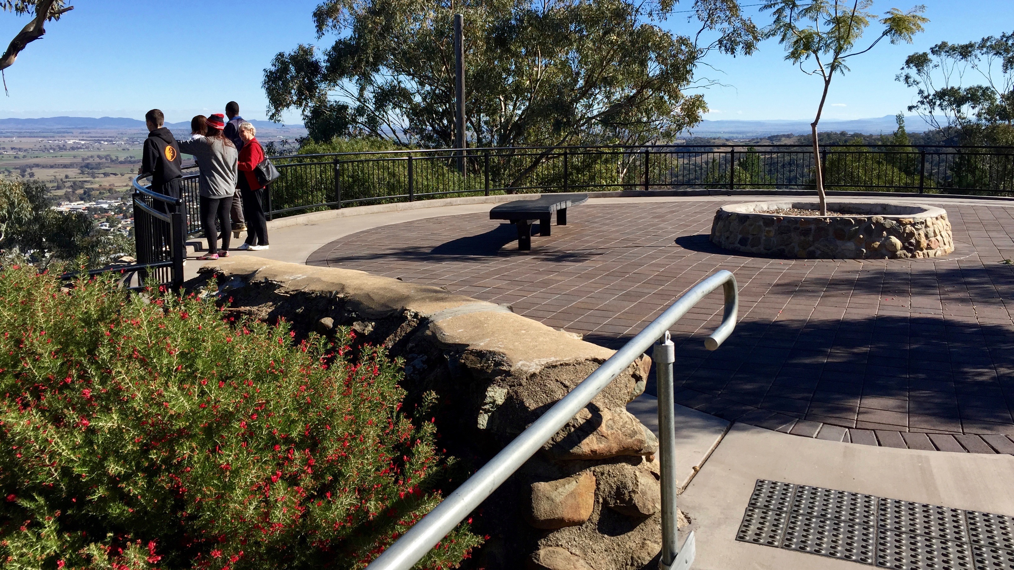
Oxley Lookout, Endeavour Park, East Tamworth, New South Wales
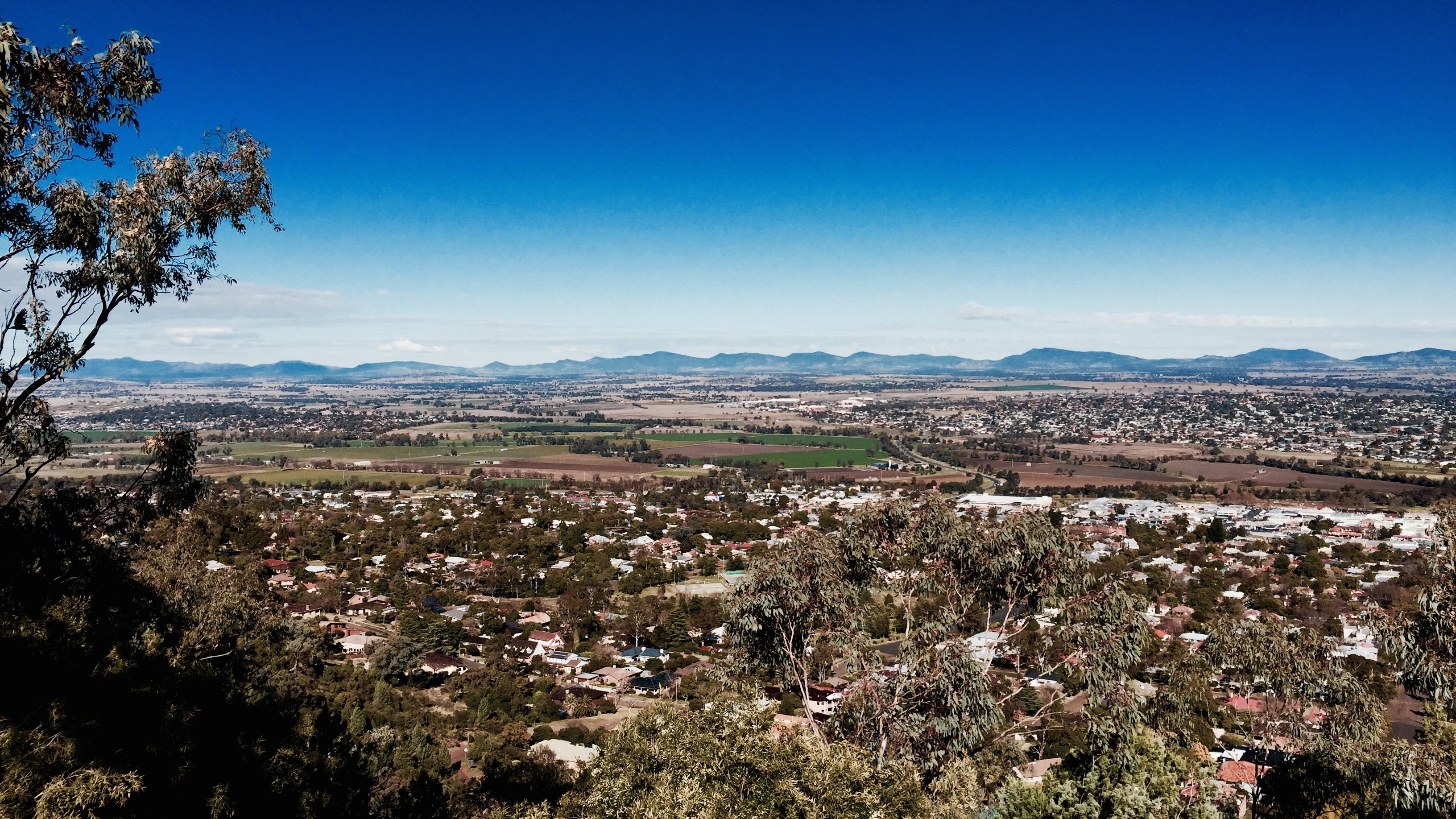
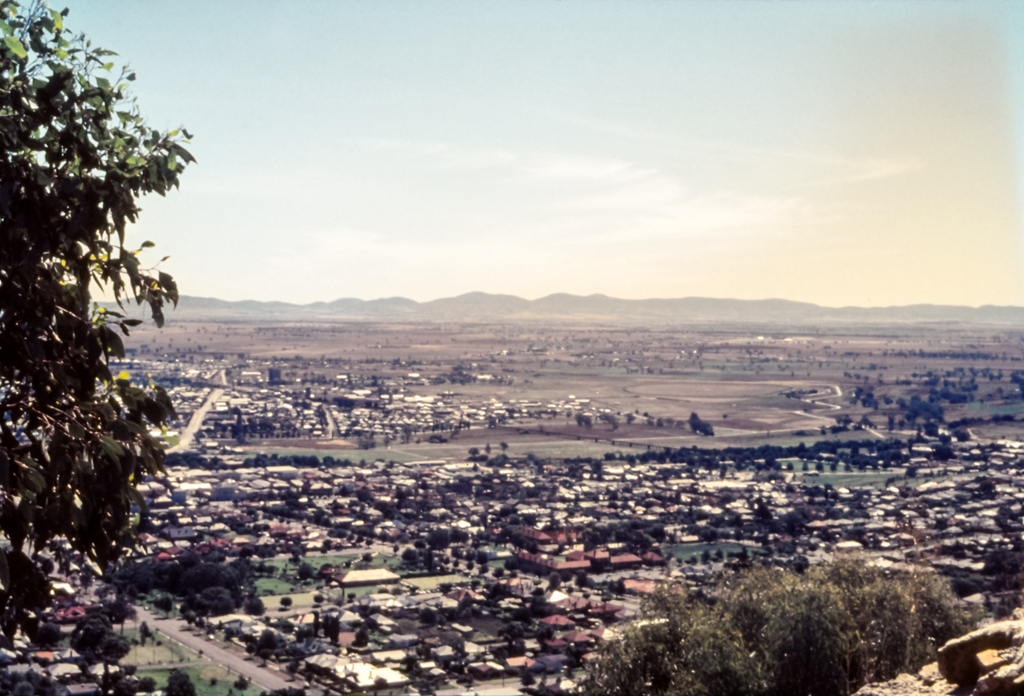
Tamworth from Oxley Lookout, New South Wales, Australia

Moonbi Tops
Oxley Lookout, Tamworth

The view from Oxley Lookout, Tamworth, Australia

The view from Oxley Lookout, Tamworth

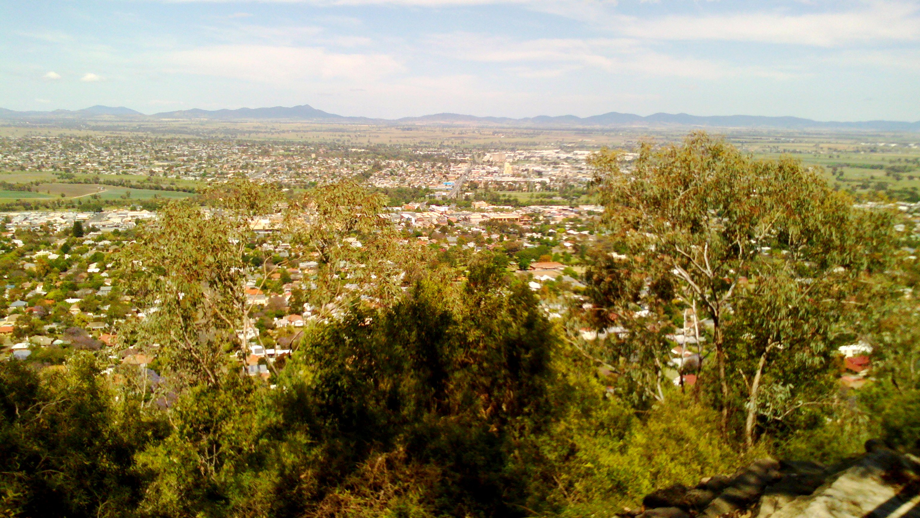
View of Tamworth
View of Tamworth

ArduFrauenfelderCNC_0.1-b3_board_image

ArduFrauenfelderCNC_0.1-b9_board_image

Oxley Lookout in Endeavour Park, East Tamworth, New South Wales

Time for a Cuppa
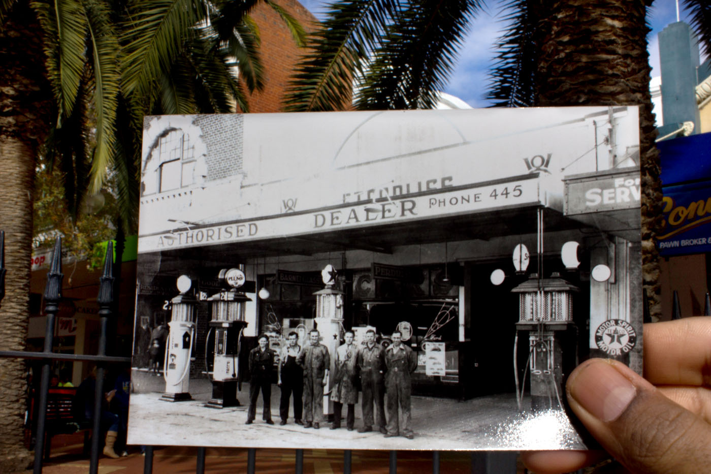
Old Peel St Garage
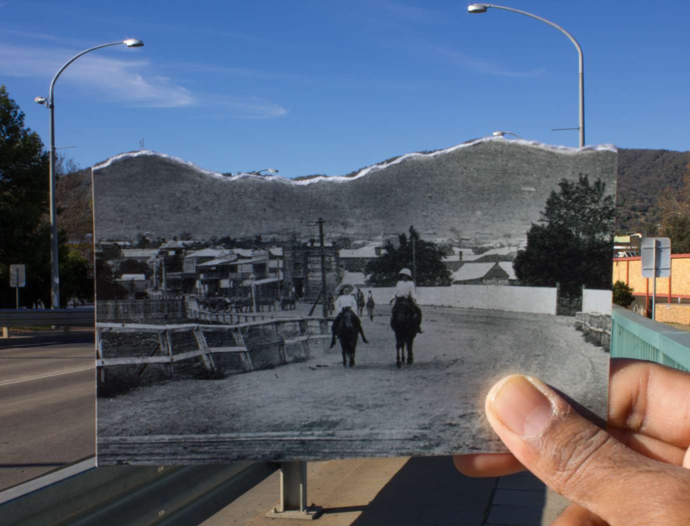
Riding down Bridge Street.

Tamworth Post office

#vg100dayphotochallenge #ágyamból #view_from_my_bed #DAY12

Rainy Day at Moonbi Lookout, Moonbi near Tamworth, NSW

Moonbi View

0176-11 Farrer Agricultural High School, Tamworth

Coolatai grass growth at Attunga near Tamworth.

Eragrostis alveiformis spikelets6 NWS

Digitaria eriantha plant11 NWS

Tamworth from Oxley Lookout

Sunset Tamworth ICU Roof

Pulling down these 70yr old fences. Bloody barbed wire has wrecked my cloths and cut my skin.

Flying fox colony

Flying fox colony
Oxley lookout, Tamworth, New South Wales
Topographic Map of Moore Creek NSW, Australia
Find elevation by address:

Places near Moore Creek NSW, Australia:
44 Mornington Cres
42 Mornington Cres
42 Mornington Cres
45 Mornington Cres
213 Davidsons Ln
Tamworth
Tamworth
Roderick Street
Rosella Avenue
Piallamore
Amberley
Duri
Danglemah Road
2337 Danglemah Rd
Allawah Road
Walcha Road Hotel
Walcha Road Police Station
Nundle
771 Barry Rd
Niangala
Recent Searches:
- Elevation of Corso Fratelli Cairoli, 35, Macerata MC, Italy
- Elevation of Tallevast Rd, Sarasota, FL, USA
- Elevation of 4th St E, Sonoma, CA, USA
- Elevation of Black Hollow Rd, Pennsdale, PA, USA
- Elevation of Oakland Ave, Williamsport, PA, USA
- Elevation of Pedrógão Grande, Portugal
- Elevation of Klee Dr, Martinsburg, WV, USA
- Elevation of Via Roma, Pieranica CR, Italy
- Elevation of Tavkvetili Mountain, Georgia
- Elevation of Hartfords Bluff Cir, Mt Pleasant, SC, USA