Elevation of Middle Fork, WV, USA
Location: United States > West Virginia > Randolph County >
Longitude: -80.120525
Latitude: 38.7151432
Elevation: 981m / 3218feet
Barometric Pressure: 90KPa
Elevation Map:
Satellite Map:
Related Photos:

Beekeeper Inn, Helvetia

Kumbrabow Forest Milky Way
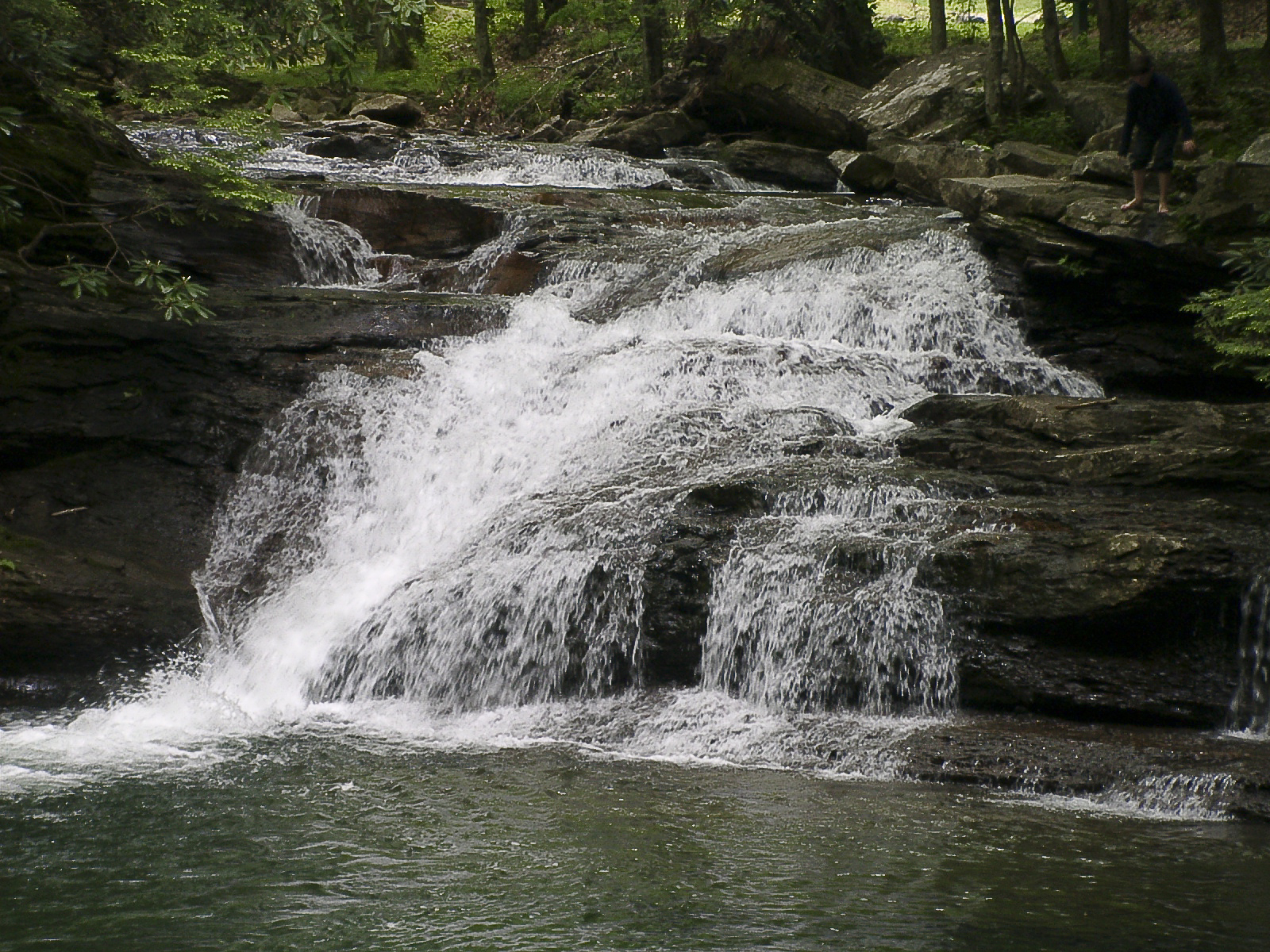
Kumbrabow State Forest

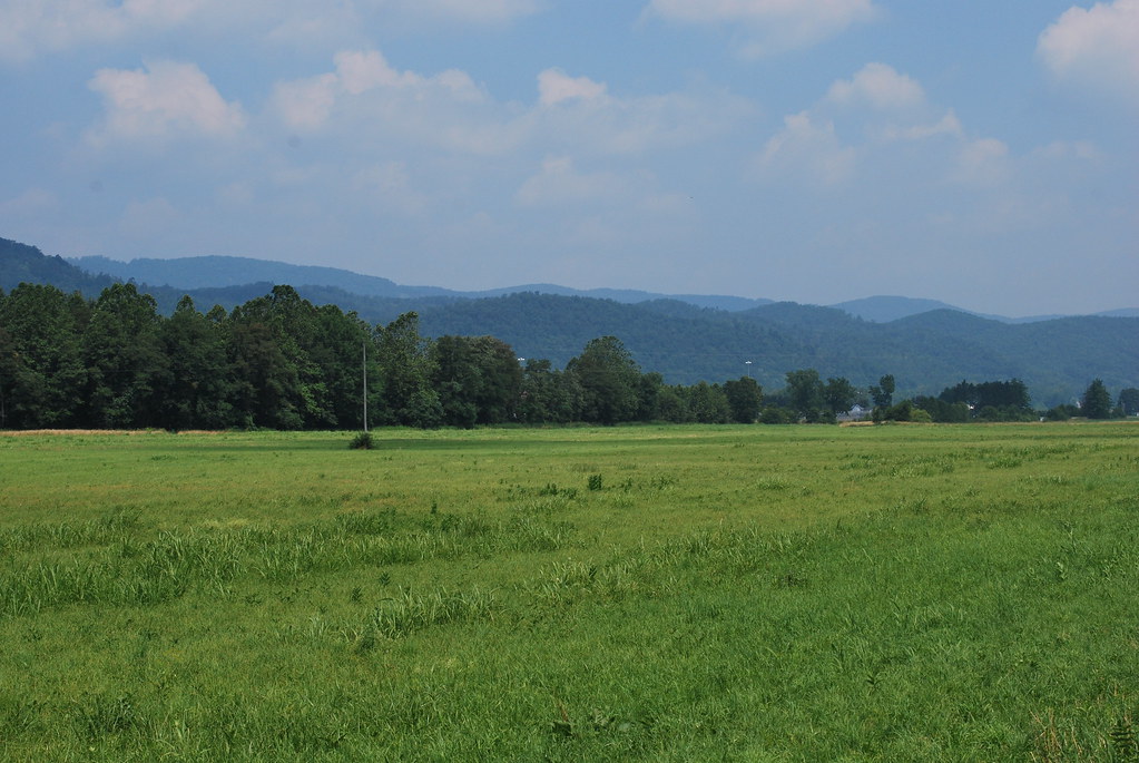
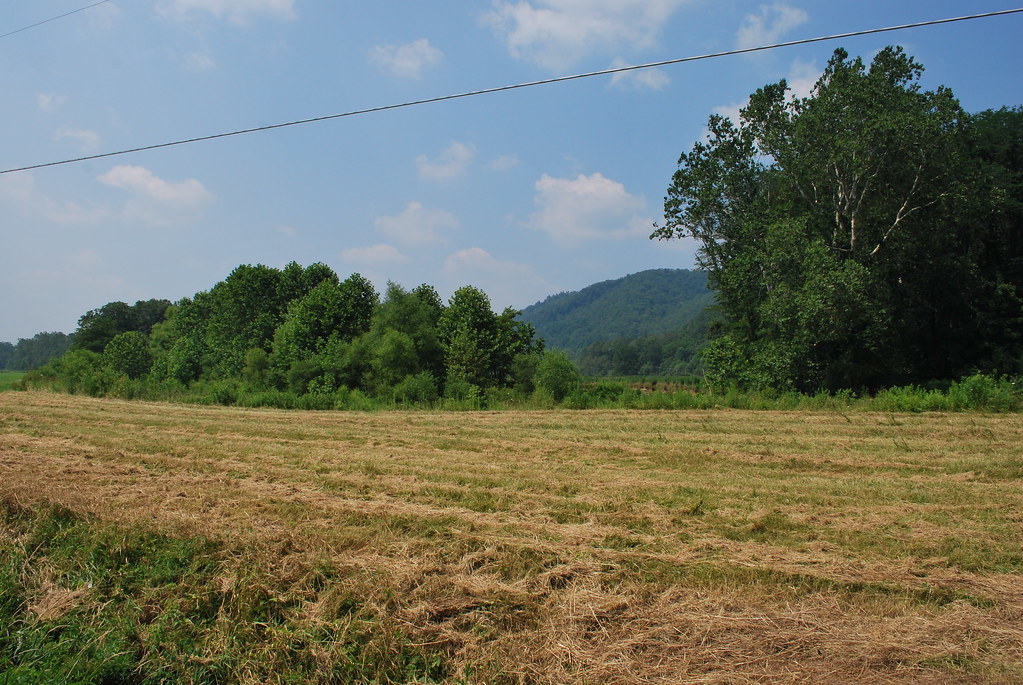
Field and trees -- Randolph County, West Virginia

Our 2012 Trail Ride To The Maple Syrup Festival At Pickens WV
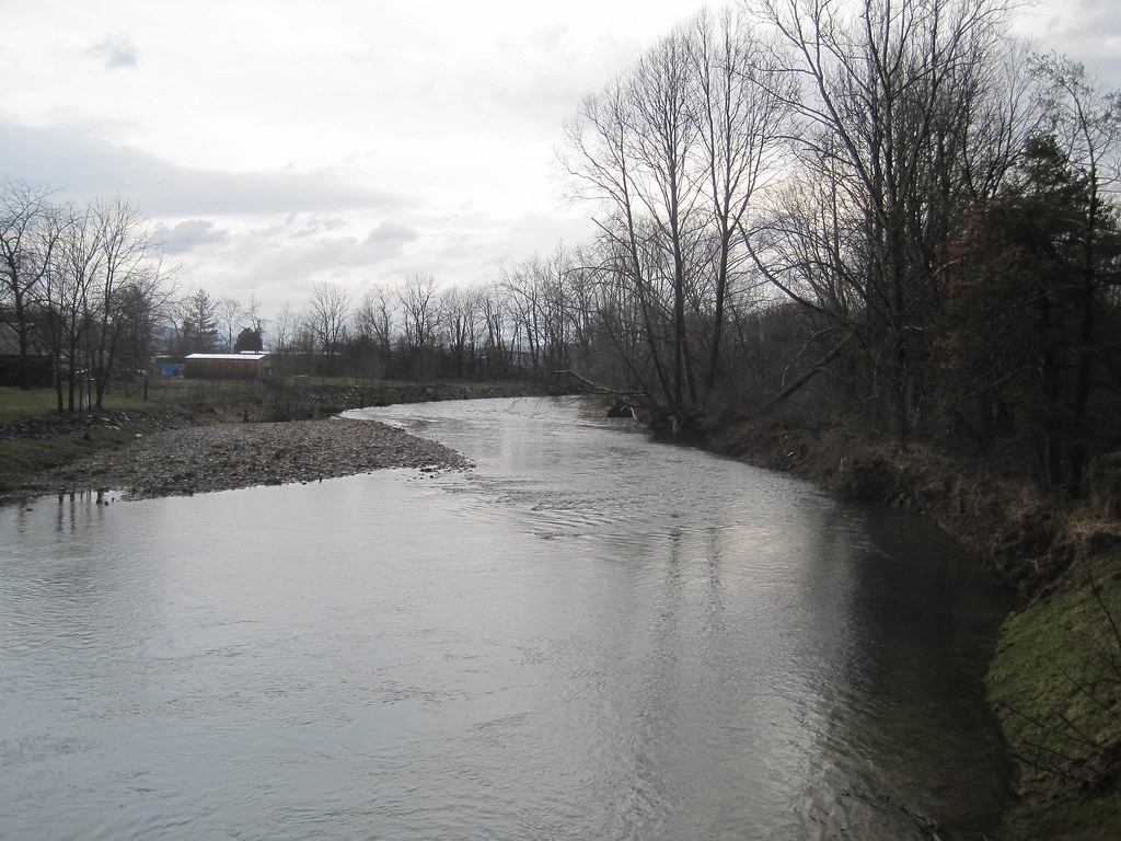
Tygart Valley River at Huttonsville, WV
Huttonsville State Farm WMA
Huttonsville State Farm WMA
Huttonsville State Farm WMA
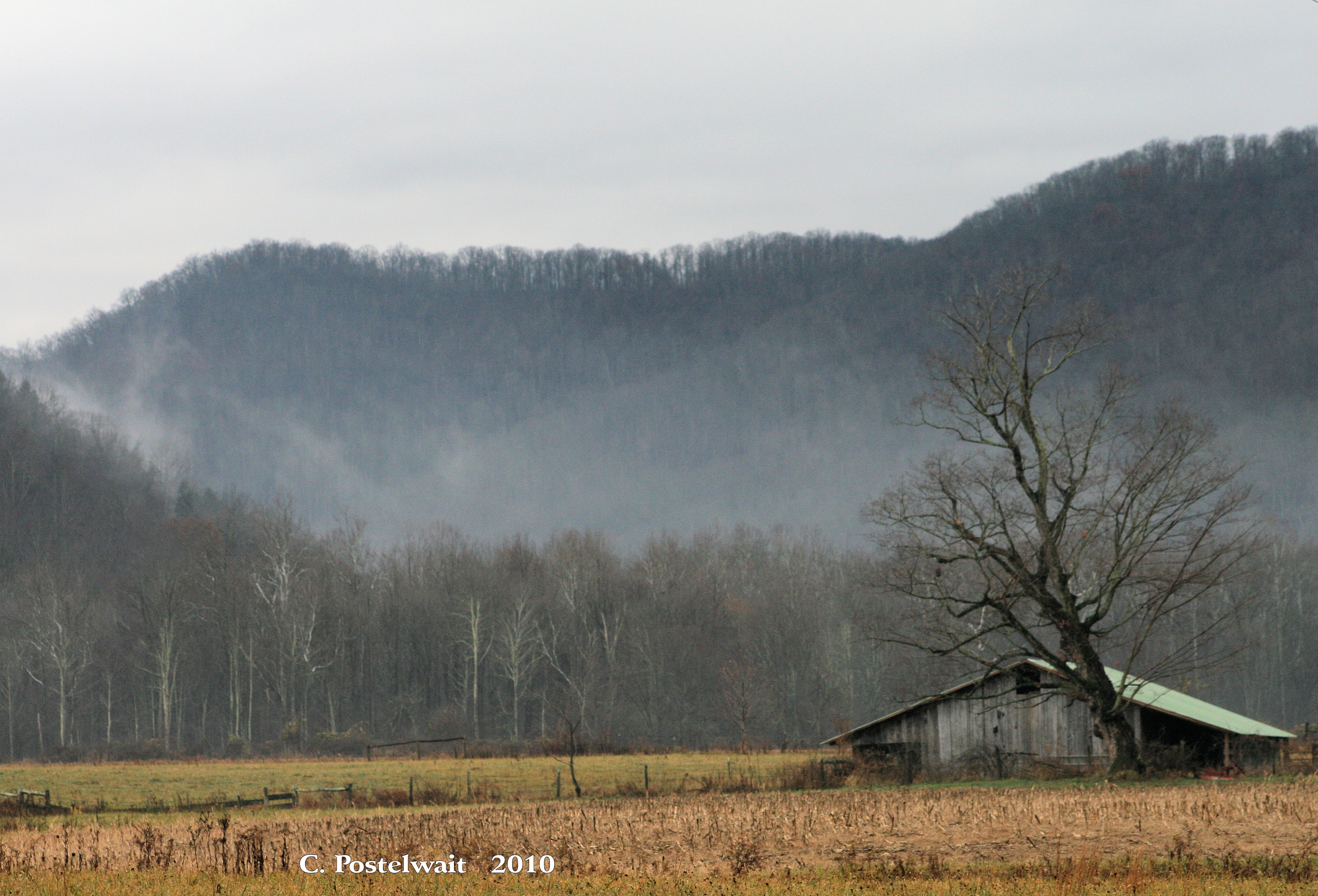
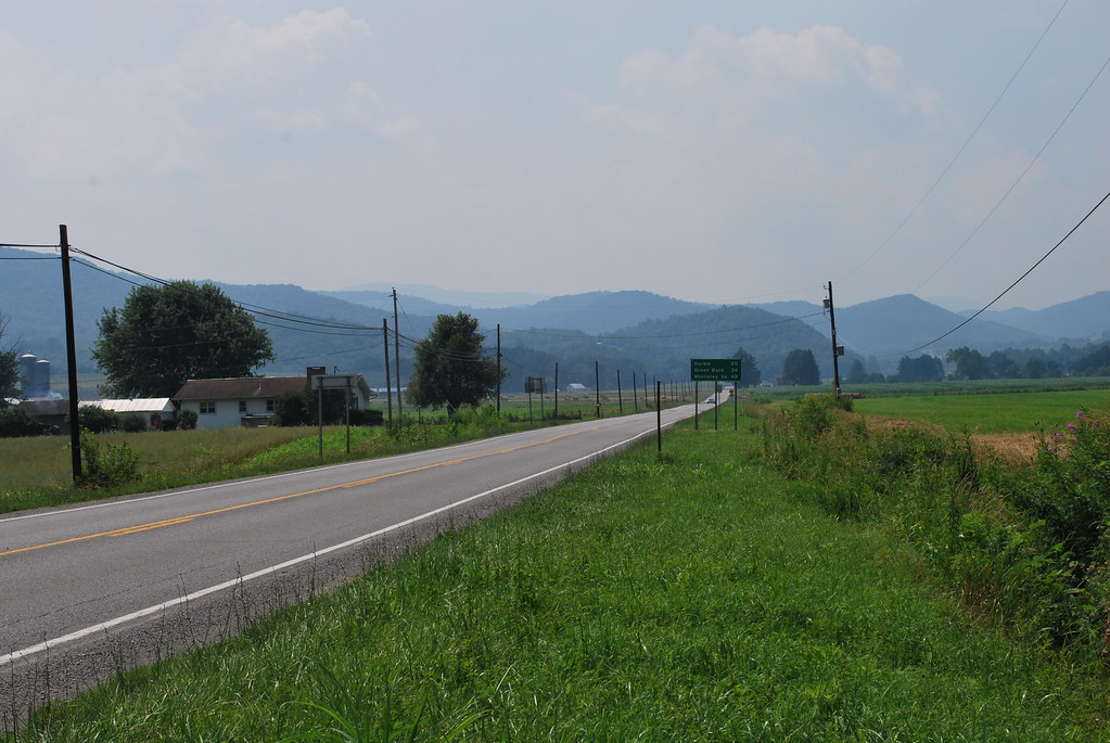
Foggy Farm Scene
Topographic Map of Middle Fork, WV, USA
Find elevation by address:

Places in Middle Fork, WV, USA:
Places near Middle Fork, WV, USA:
Huttonsville
Randolph County
Mill Creek
Huttonsville
Valley Head
Burnt Bridge Rd, Buckhannon, WV, USA
Valley Head, WV, USA
Mingo
299 Wamsley Rd
Old Elkins Rd, Ellamore, WV, USA
Valley Bend, WV, USA
857 Hawkins Rd
Mingo
County Road 151
Huttonsville, WV, USA
Coalton
Roaring Creek
Rich Mountain Battlefield
Beverly, WV, USA
Cottage Hill Ln, Beverly, WV, USA
Recent Searches:
- Elevation of Corso Fratelli Cairoli, 35, Macerata MC, Italy
- Elevation of Tallevast Rd, Sarasota, FL, USA
- Elevation of 4th St E, Sonoma, CA, USA
- Elevation of Black Hollow Rd, Pennsdale, PA, USA
- Elevation of Oakland Ave, Williamsport, PA, USA
- Elevation of Pedrógão Grande, Portugal
- Elevation of Klee Dr, Martinsburg, WV, USA
- Elevation of Via Roma, Pieranica CR, Italy
- Elevation of Tavkvetili Mountain, Georgia
- Elevation of Hartfords Bluff Cir, Mt Pleasant, SC, USA